Møre og Romsdal Fylke,
Giske Kommune
|
|
|
Mountain Pages (sorted by height)
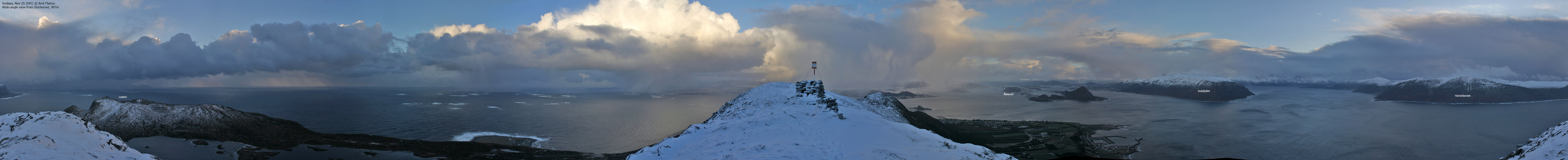
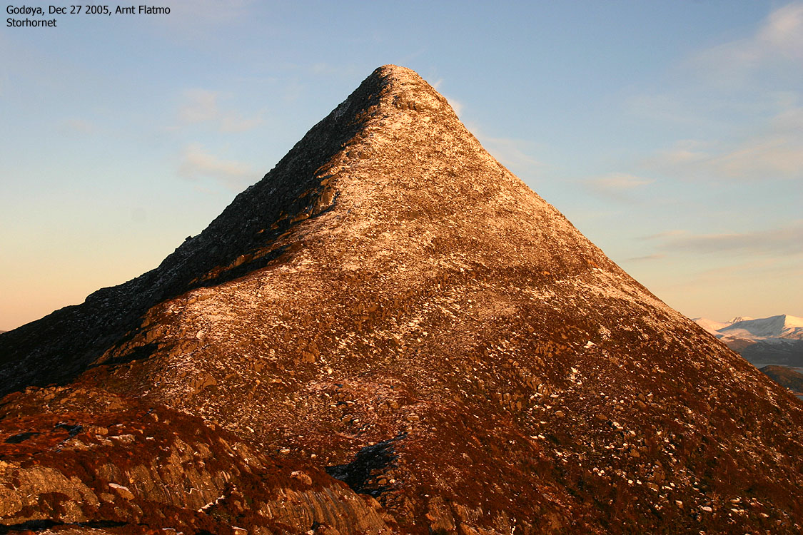 Storhornet, 497m |
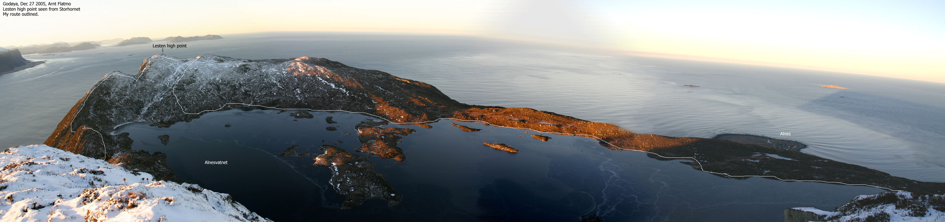 Lesten, 401m |
 Signalen, 231m |
 Molnesfjellet, 122m |
Other Pages
|
Synesfjellet, 89m |
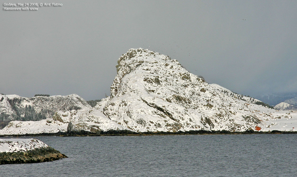 Havsteinen, 62m |
 Ørnebakken, 25m |
Skjonghellaren (cave) |