
Norwegian Mountains, Sogn og FjordaneBondehaug, 723m (Vetleskoghovden)
|
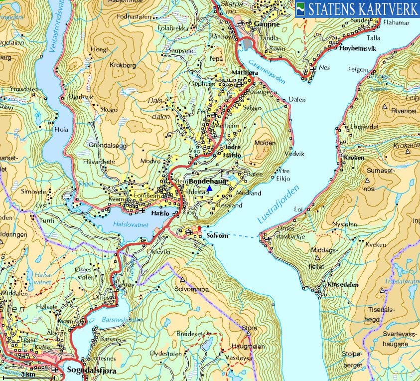
| Fylke/Kommune : | Sogn og Fjordane/Luster | ||||||||||||||||||||||
| Maps : | 1417-IV Solvorn (Statens Kartverk, Norge 1:50 000) | ||||||||||||||||||||||
| Primary factor : | 220m | ||||||||||||||||||||||
| Hiked : | Jan 2010 | ||||||||||||||||||||||
| See also : |
| ||||||||||||||||||||||
| See also : | Other Sogn og Fjordane mountains on westcoastpeaks.com |

Bondehaug seen from Molden
(Click for larger image)
Bondehaug is a forest hill located above Mollandsmarki and Lustrafjorden. It is also the lower neighbour of Molden - a very popular mountain in this region, and this page will describe a ski route from the Molden trailhead.
There are several forest roads in this forest, and you can also follow a forest road from Mollandsmarki. The terrain is overall easy, with no steep sections. Depending on your starting point, you might face some off-trail sections.
The Bondehaug high point does not seem to receive a lot of visitors. The only high point sign is a trigonometric point located high up in a tree! There is a viewpoint 250m east/northeast of the high point, which has a "Bondehaug, 723m" signpost. This is clearly wrong. The high point may well be 723m, but the viewpoint is approx. 705m. The argument is of course that a marker is put where the views are, but this is in any case a bad practice!

Bondehaug viewpoint with a misleading signpost
(Click for larger image)
Bondehaug (Norge 1:50,000: 723m, Økonomisk Kartverk: highest contour is 720m, UTM 32 V 406338 6800043) has a primary factor of 220m towards the higher parent Molden (1121m). The defining saddle (approx. UTM 32 V 407478 6801134) is found at the trailhead - the highest point along the road between RV55 and Mollandsmarki. Ref. Økonomisk Kartverk (5m contours), the saddle is within the range 500-505m, interpolated to 503m.
GPS measurement read 729m (on the ground), averaged over a 10-minute period (error margin not recorded).

Bondehaug - right of Molden
(Click for larger image)
Google's interactive map. You can zoom, pan and click on the markers.
|
|
|
|
Route 1: Bondehaug from the northeast (winter)
|
|
This route description is valid per Jan 2010
Access
(all distances are approx. distances)
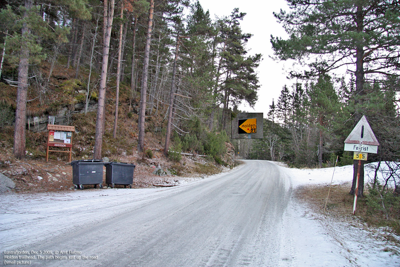
The nearest bigger town is Sogndal (has an airport). From Sogndal, follow highway RV55 (Sognefjellet, Lom) to the north. Not too long after passing Lake Hafslovatnet (on your way to Gaupnefjorden), turn right towards Mollandsmarki (signposted). Follow this road 2,4km until you reach the Molden parking.
The route
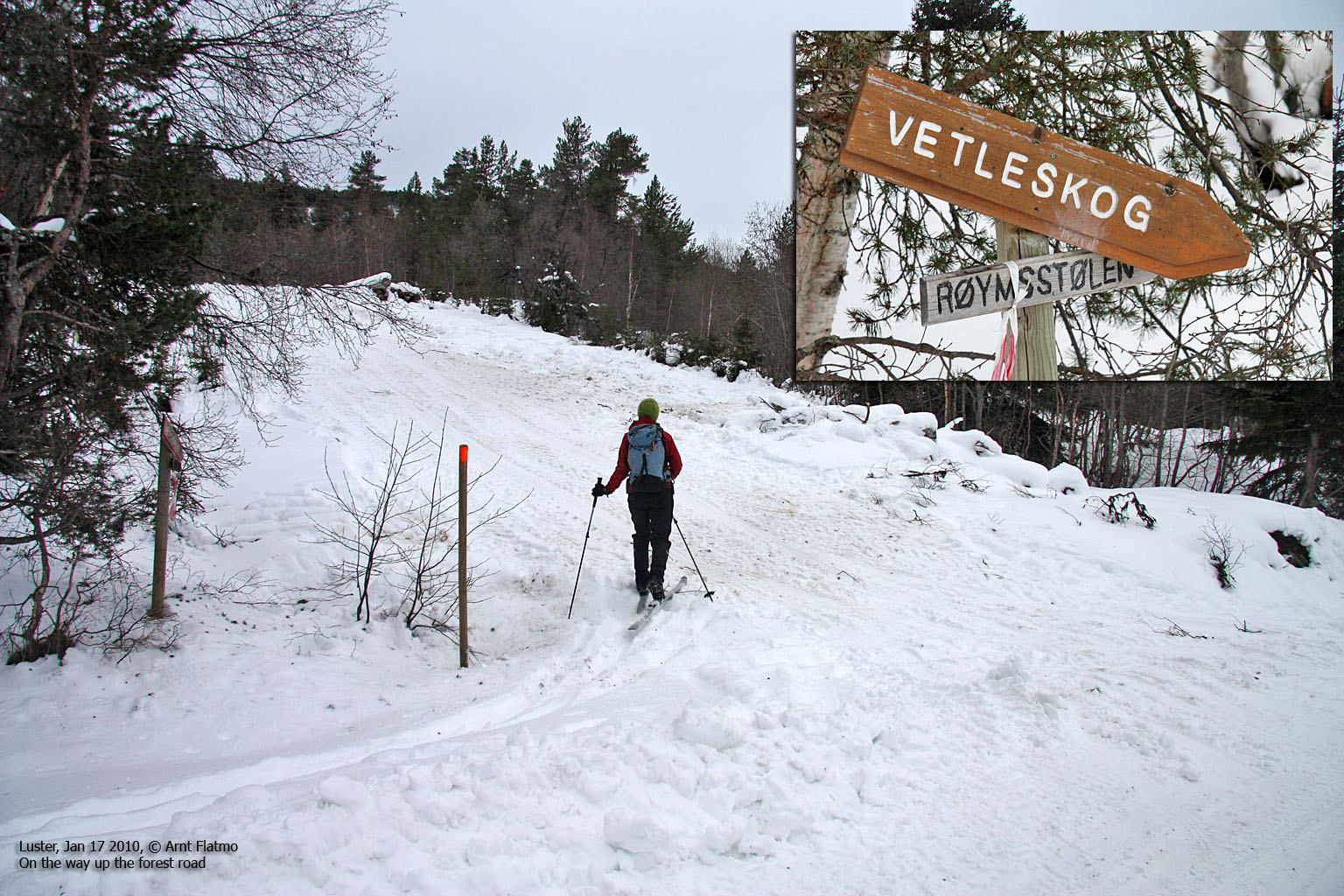
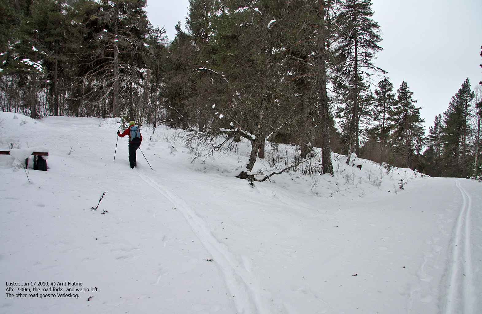
From the parking, Go 100m west (back the way you came), then turn left onto a forest road signposted Vetleskog/Røymsstølen. Follow this road 900m, then turn left at a junction. Follow this road 750m upwards until it ends. Head north (off-trail) from here. You'll cross another forest road at 680m (this one runs towards Molland). Continue north and follow the terrain as it rises. The high point is easy to pin-point, even if it's inside the forest. The summit is marked by a trigonometric point high up in a tree (!)
Descend your ascent route, or; go east/northeast 240m to the Bondehaug viewpoint (picture below - and incorrectly signposted as "Bondehaug 723m") Continue (off-trail) east until you reach the forest road towards Molland. This road forks later on, and if you stay left, you'll return to the trailhead.

A trig. point not to rely on...
(Click for larger image)


No Javascript:
|
|


