Norwegian Mountains, Nordland
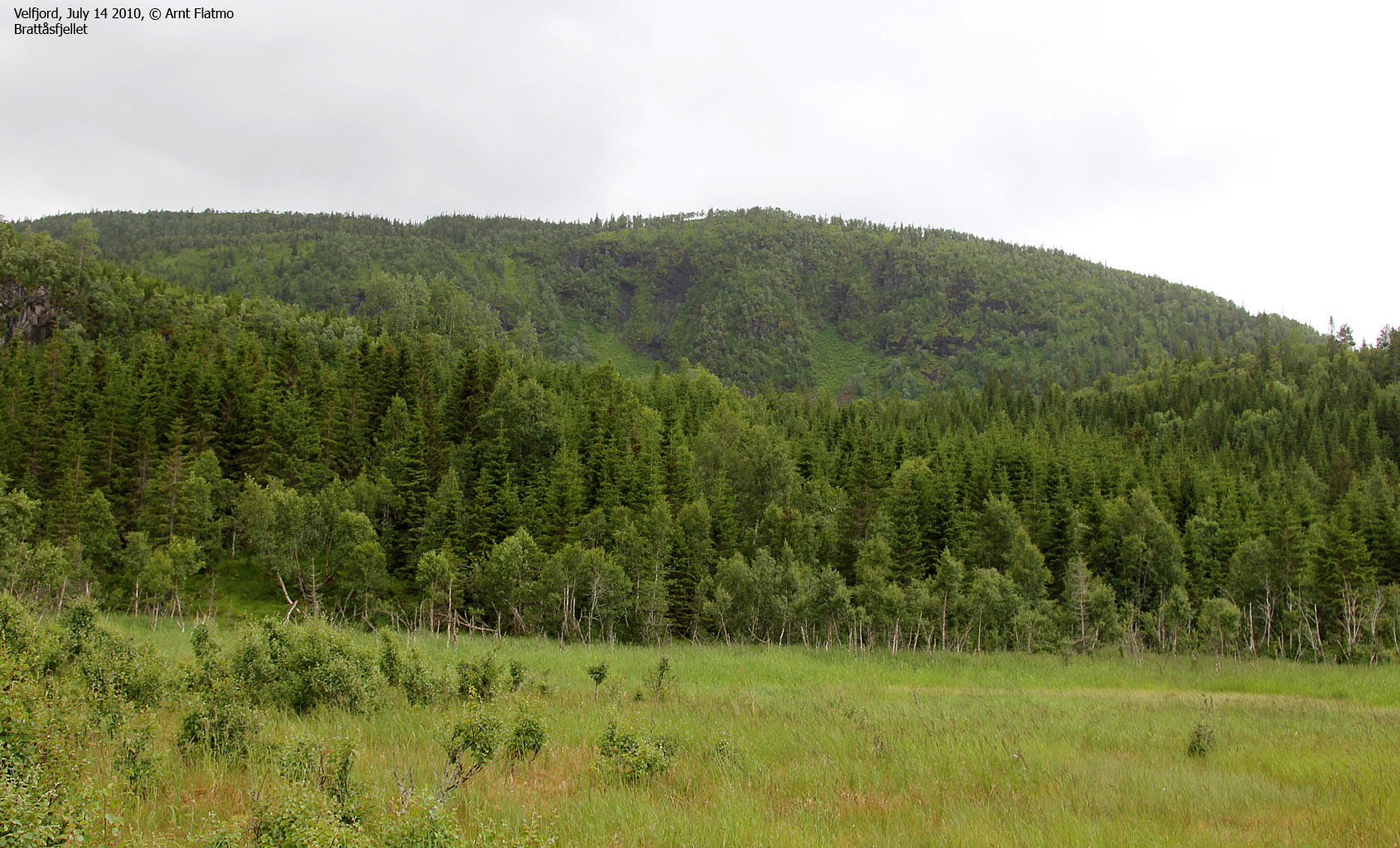
Brattåsfjellet, 401m (Hilstadfjellet)
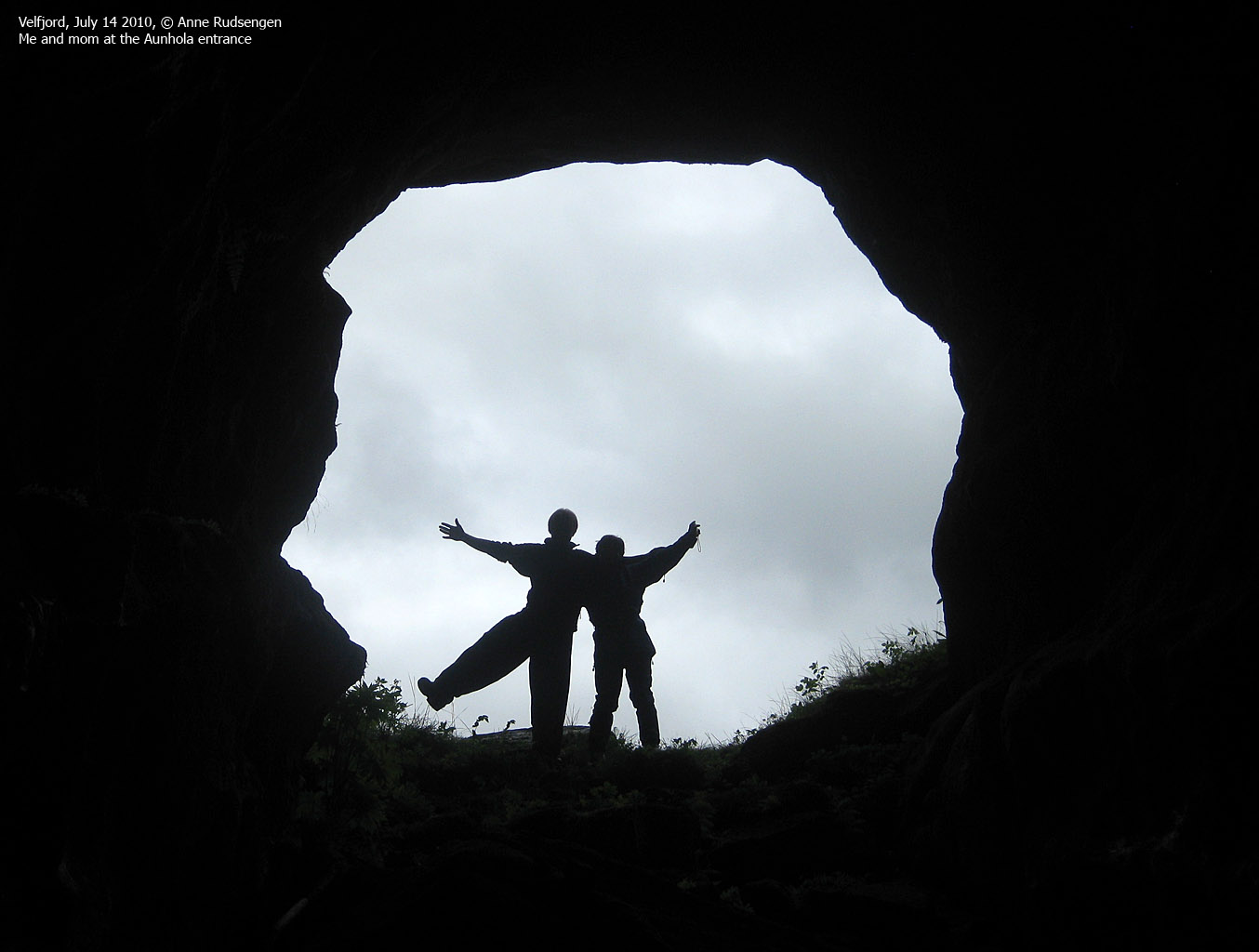
Aunhola (Aunholet - grotto)
| Fylke/Kommune : | Nordland/Brønnøy | ||||||
| Maps : | 1825-IV Velfjord (Statens Kartverk, Norge 1:50 000) | ||||||
| Primary factor : | 378m | ||||||
| Hiked : | July 2010 | ||||||
| See also : |
| ||||||
| See also : | Other Nordland mountains |

Brattåsfjellet

(Click for larger image)
Introduction
Brattåsfjellet is the highest top on the Heggehalvøya (Brattåshalvøya) peninsula defined by Velfjorden, Sørfjorden and Heggfjorden. On the Hommelstø side, they refer to the mountain as Hilstadfjellet. On the map, Hilstadfjellet is point 287m - approx. 900 meters east of Brattåsfjellet's high point. The most popular route runs from Hommelstø, and the view from the top is quite good.

Aunhola

(Click for larger image)
The grotto Aunhola is located 1,4km north of Brattåsfjellet, and has nothing to do with the mountain - other than that you should consider visiting it in addition to hiking Brattåsfjellet. Some do believe that this grotto is strongly connected to Lake Engavatnet - the famous lake that completely disappears from time to time, while others doubt. It is argued that when Engavatnet suffers the famous drought, water doesn't run in the grotto either. Literature (in Norwegian) can be found here (velfjord.no - external link) and in the below pamphlet. Aunhola and Engavatnet is also described in the book Grotter - Norges ukjente Underverden by Stein-Erik Lauritzen.
Engavatnet pamphlet by Unni Aas Sandholm, ISBN 978-82-997875-3-6

(Click for larger image)
Primary factor:
Brattåsfjellet (Norge 1:50,000: 401m, Økonomisk Kartverk: 401, UTM 33 W 384529 7257723) has a primary factor of 378m towards the higher parent mountain Aunfjellet (769m). The defining saddle (approx. UTM 33 W 385890 7255854) is found near Krokan. Ref. Økonomisk Kartverk (5m contours), the saddle is within the range 20-25m, interpolated to 23m.

Google map
Google's interactive map. You can zoom, pan and click on the markers.
|
|
|
Trail descriptions
| This disclaimer is regarding all of the literature and instructional guides posted on the westcoastpeaks.com website. These instructions are guidelines only, and should not be used in lieu of common sense or judgement when attempting any of the actions involved or instructed. Westcoastpeaks nor myself will not be liable nor will it indemnify any form of compensation to anyone who has injured, harmed or even killed themselves or others while following any of the instructions written within the website. It should be noted by any persons willing to undertake any of the instructions provided that mountains offer varying levels of risk, regardless of size or incline. Risks to be considered are as follows but not limited to: wild animals, weather, the terrain, bad judgement, inappropriate or insufficient equipment, improper training or experience and of course, bad luck... |
The route descriptions are valid per Apr
2011.
|
Route 1: Hommelstø - Brattåsfjellet (summer/autumn)
|
|
Access
(all distances are approx. distances)
The starting point for this route description is Hommelstø - a small village east of the town Brønnøysund (has an airport). From the main junction in the village (by the grocery store), turn left and drive up the hill to Hilstad. After 500 meters, turn right. Drive 400 meters up to the ski jumping hill (you have a sports field on your right hand side) and find parking (N65.41140 E12.54288) there.
The route

Locate the path across the meadow and the point it enters the forest (marked point). After approx. 1,2km, you reach a trail fork (N65.41700 E12.52510). Go straight ahead. The path to the right runs (probably) up to Hilstadfjellet (287m). 250 meters later, the trail begins to climb to the north and you pass a cabin (N65.42068 E12.52197). Do enter and sign the visitor's register.
Follow the path to the summit - 500 meters to the west/northwest (N65.42160 E12.51155) - marked by a proper cairn.
|
Route 2: Forsåbotnet - Aunhola (summer/autumn)
|
|
Access
(all distances are approx. distances)
The starting point for this route description is Hommelstø - a small village east of the town Brønnøysund (has an airport). From the main junction in the village (by the grocery store), continue north (in the direction of Hegge) for 1,8km. At the upcoming junction, turn left and drive 3,2km to the Brattås junction. Turn right here and continue 400 meters to a quarry where you park (N65.43390 E12.49317).
The route

Head east across the meadow, and try to locate the vague path. Cross Engjaelva on some form of a bridge and continue east towards a creek. Follow the creek and look for the cave entrance up to your right (you might not see it from the creek, so chances are that you'll have to actively search for it. Enter the cave and explore as you will. There are no (known) secret chambers. What you see is what we know...
Inside Aunhola

(Click for larger image)
Pictures and Trip reports:
- Engavatnet, July 21 2020
- Brattåsfjellet and Aunhola - July 14 2010
 westcoastpeaks.com
 Other Nordland mountains
 Other Norwegian mountains


