
Click here for the main Gaustadfjellet page.
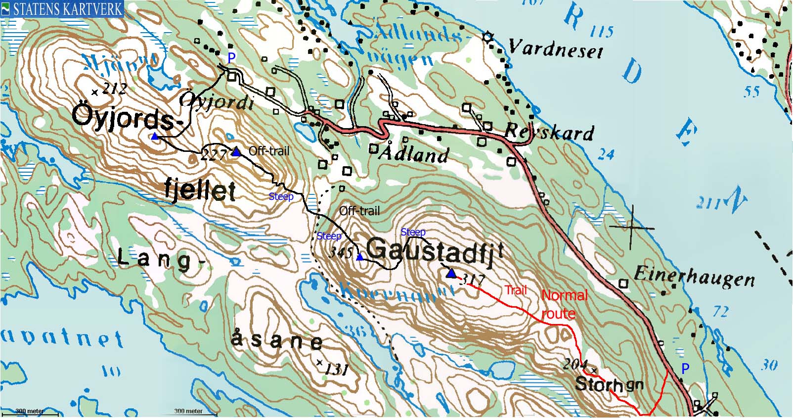
The hike started at Øyjordi and went across Øyjordsfjellet, Borefjellet, Litlefjellet and Gaustadfjellet before I descended the standard route along the southeast ridge and walked the remaining 3,2Km back to the car.

(No Javascript) |

(No Javascript) |
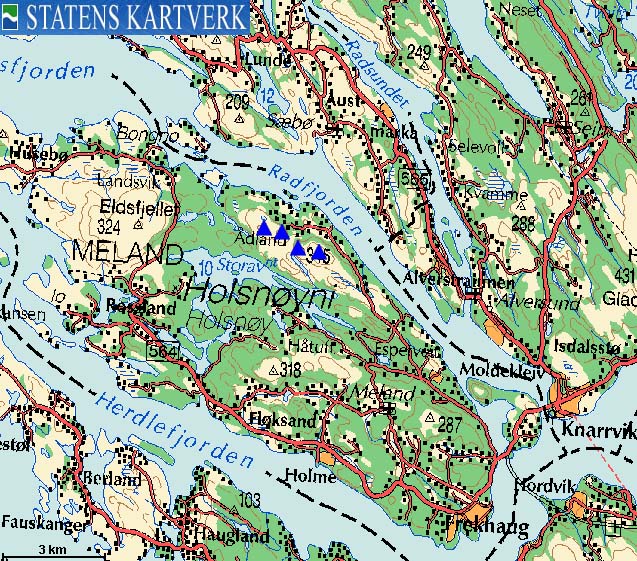
I had several reasons for coming back to Gaustadfjellet. My web-page needed some work and pictures from 2001 were really bad. In addition, my friend David C. Pugh had promised me some fun scrambling if I took the time to traverse all of the humps northwest of Gaustadfjellet. As this July afternoon was a gorgeous one, I decided to go back to Gaustadfjellet.
The original plan was just to ascend Øyjordsfjellet. The mountain was too low for my mountain list (>= 300m elevation & >= 100m primary factor), but I've decided to visit smaller tops with a primary factor >= 100m in-between the other mountains. I talked to a local who explained where I could park and where I should go. He told me it was common to traverse Øyjordsfjellet and Borefjellet. When I asked about a traverse of all 4 mountains, he replied that this is normally not done. Then and there, I knew I had to do it.
I headed out 16:55PM. My dachshund "Troll" wasn't willing to walk and entered the backpack. I thought Øyjordsfjellet was the mountain I saw above me, but this was Borefjellet. Øyjordsfjellet was further behind, and I discovered this as I gained the Borefjellet northwest ridge. I continued towards Øyjordsfjellet and scrambled up (steep) directly towards the summit. I was standing on top 17:25PM. My GPS reported 248m here - 4m too high vs. Økonomisk Kartverk (Ø.K.).
The descent was trivial when dry, and by 17:40PM I was on top of Borefjellet. The hill had two tops. I had a feeling that the westernmost was the highest, but it wasn't obvious. I moved over to the easternmost one and concluded that this was not the high point. My GPS reported 226m on the high point, while Ø.K. says 227m.
The descent from Borefjellet wasn't straightforward. I came pretty far down the mountain side before I realized I was unable to accomplish the planned descent. I moved slightly to the left and found the solution to the problem. I looked back up and faced a mighty steep mountain side. The conclusion was that the left- or right-hand sides would work. Descending in center was a no-no.
I chose a direct route towards Litlefjellet. This was a typical class 2+ route. I reached the summit 18:20PM and the GPS reported 247m - 2m higher than Ø.K.
I descended eastbound from Litlefjellet, directly towards Gaustadfjellet. I think this was the only doable route down from Litlefjellet. Down in the pass, I turned left and headed northbound until I was on the Gaustadfjellet northwest ridge. I had no problems on this route. I reached the top of Gaustadfjellet 18:55PM and my GPS reported 313m, 4m lower than Ø.K. It was difficult to see any patterns between my GPS readings and Ø.K.
It had taken me two hours to reach all four tops, and I hoped I would be back at the trailhead before 3 hours had gone. I had carried Troll up to now, but let him out on the standard route down from Gaustadfjellet. He seemed eager to move, and ran as fast as he could down the path. If he was enthusiastic or simply wanted to get home, is difficult to tell. I had done this path back in 2001, so I was familiar with the terrain. We reached the road and had 3,2Km of walking ahead of us. We were back at the car 20:10PM, 3 hours and 15 minutes after we started. It had turned out to be a long afternoon walk, but a rewarding one. It started to pour down 5 minutes after we reached the car, so the timing (if there ever was one) was just perfect.
Øyjordsfjellet and Borefjellet


Litlefjellet and Gaustadfjellet


No Javascript:
1 2 3 4 5 6 7 8 9 10 11 12 13 14 15 16 17 18 19 20 21 22 23
