
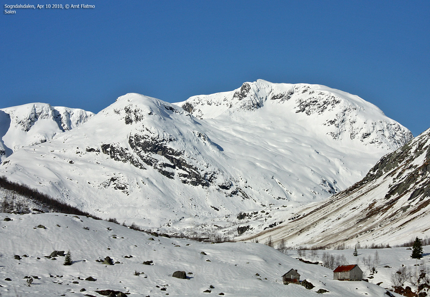
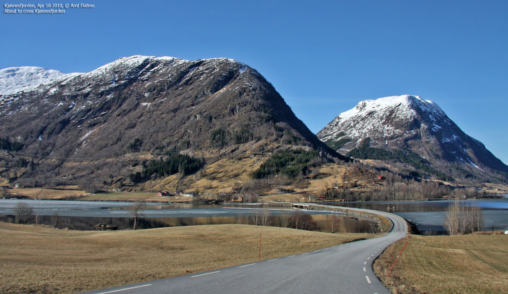
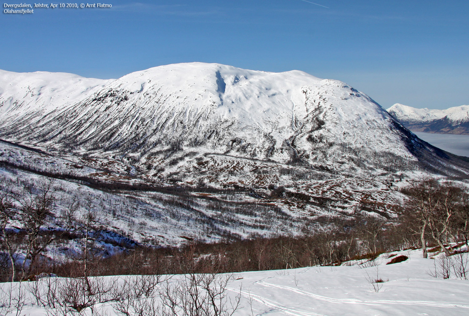
Norwegian Mountains, Sogn og Fjordane
Grovabreen round trip, Apr 10 2010
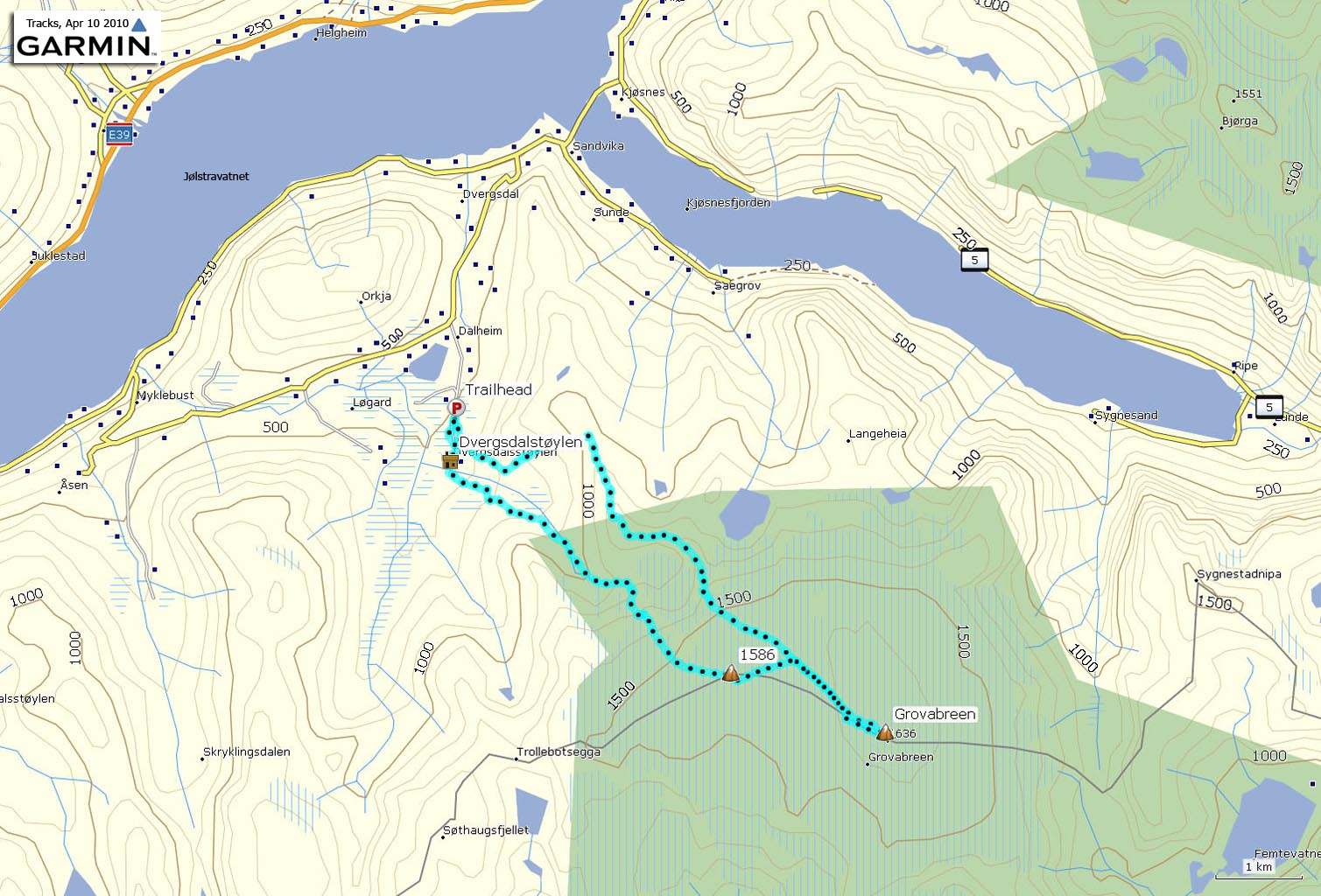
To the main Grovabreen page (maps, route descriptions, other trip reports, etc.)

Grovabreen seen from the air
(Click for larger image)
The weather forecast for this weekend was just phenomenal, and Anne (Rudsengen) proposed a trip to Grovabreen. I replied with a capital YES, having thought about this glacier ever since we (Bergen Turlag Fjellsport) traversed Meneseggi and also visited Grovabreen's neighbour glacier Jostefonni in 2004. Anne had been on Grovabreen before, and knew the trailhead in Dvergsdalsdalen.
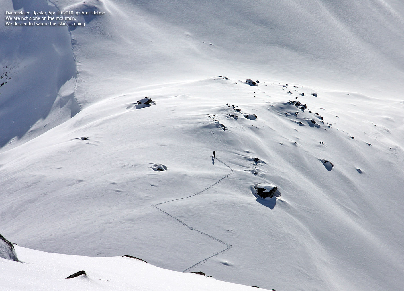
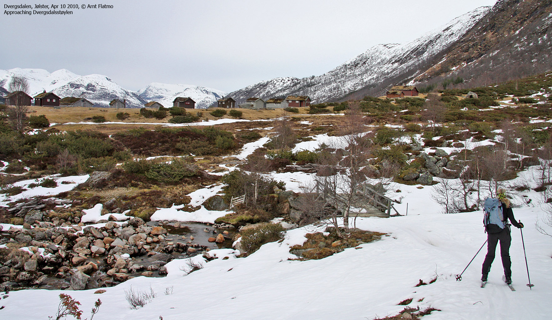
We drove as far as the road permitted (approx. 510m elev.), and headed out 10:20am, 600m north of Dvergsdalsstøylen. There was not a lot of snow, but just enough for skiing from the trailhead. Another skier headed out 5 minutes ahead of us. After skiing 350 metres, I noticed (to my despair) that one of the bindings had separated from its designated ski! All 3 screws had lost their grips, and it was impossible to continue with this pair of skis.
Fortunately, we had other skis in the car, and I borrowed a pair from Anne. The fact that this could have happened high up on the mountain gave me the creeps. I'm not sure if duct tape would have been a feasible workaround...
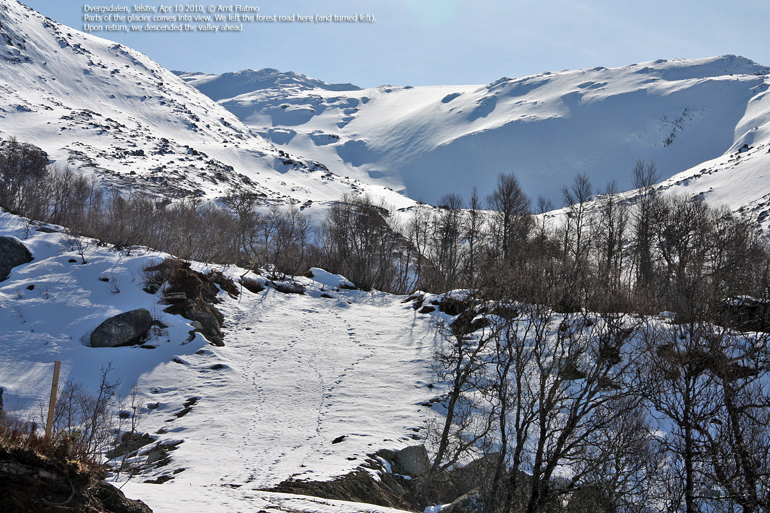
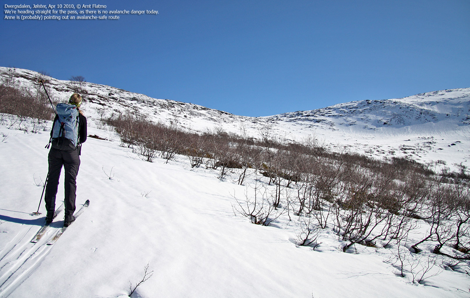
Then we joined a flooded tractor road (nature's revenge...) which we followed (on foot) up to 700m. After getting the skis on, it felt so nice to gradually rise above the signs of civilization and look forward to the shiny white glacier, high, high above us.

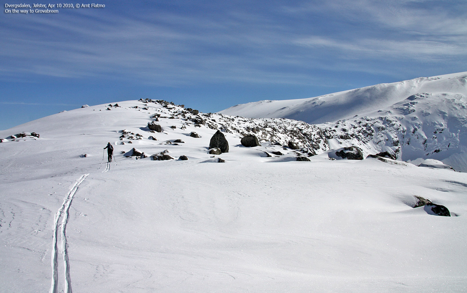
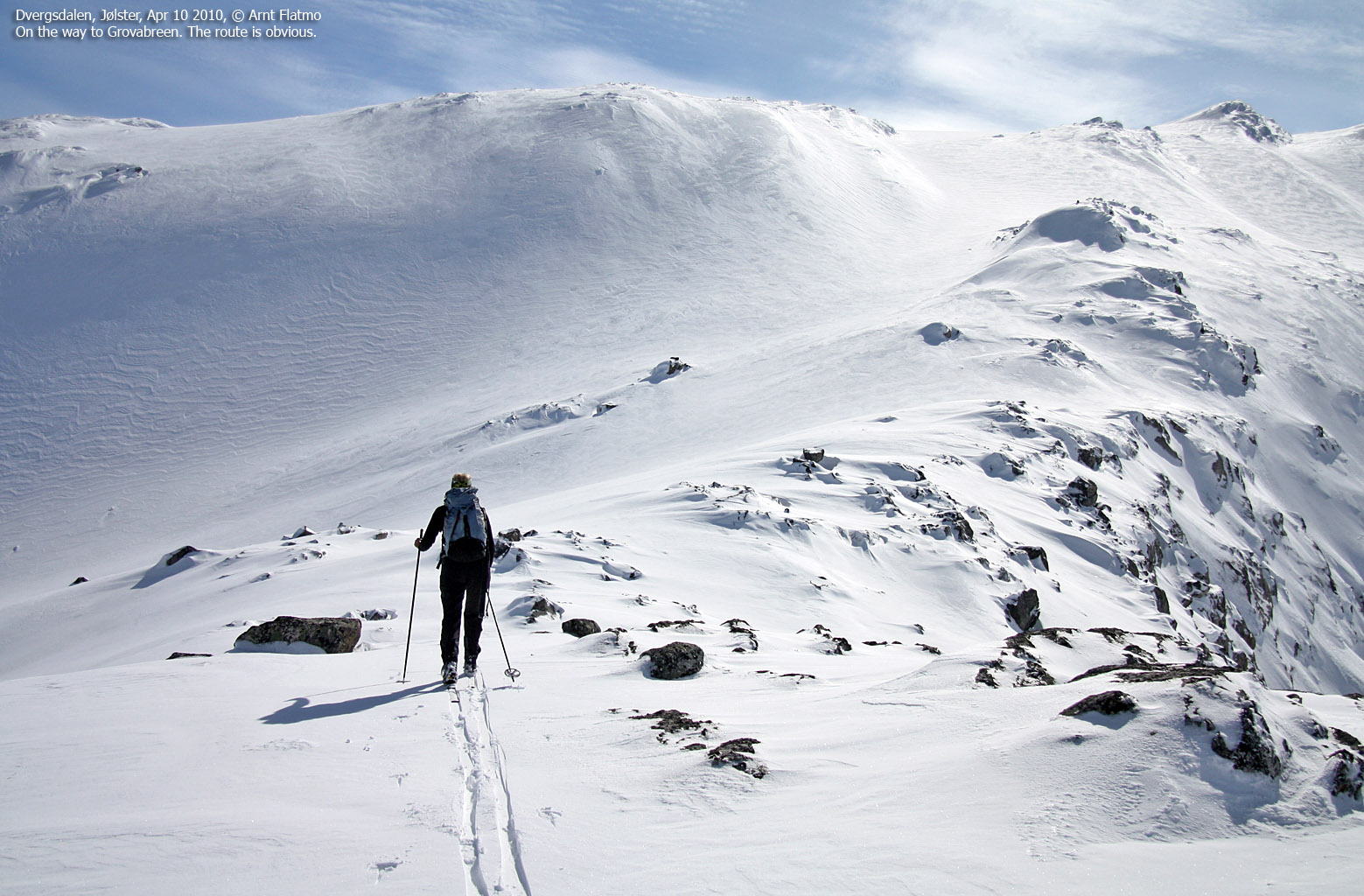
On the way to the adventure
(Click for larger image)
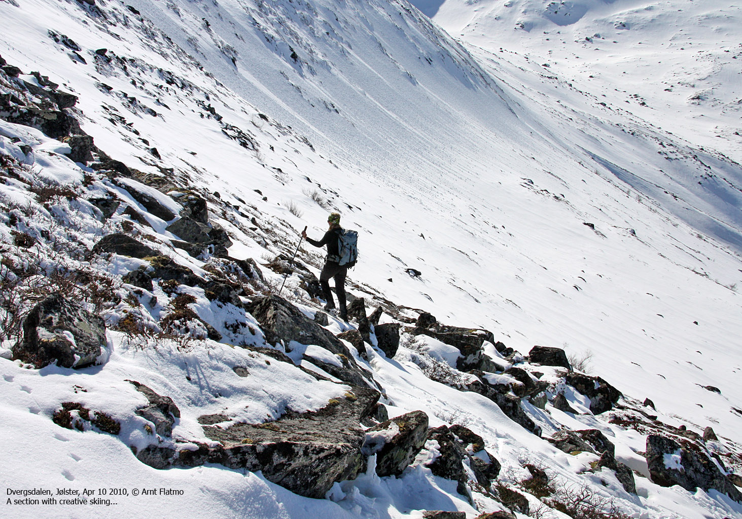
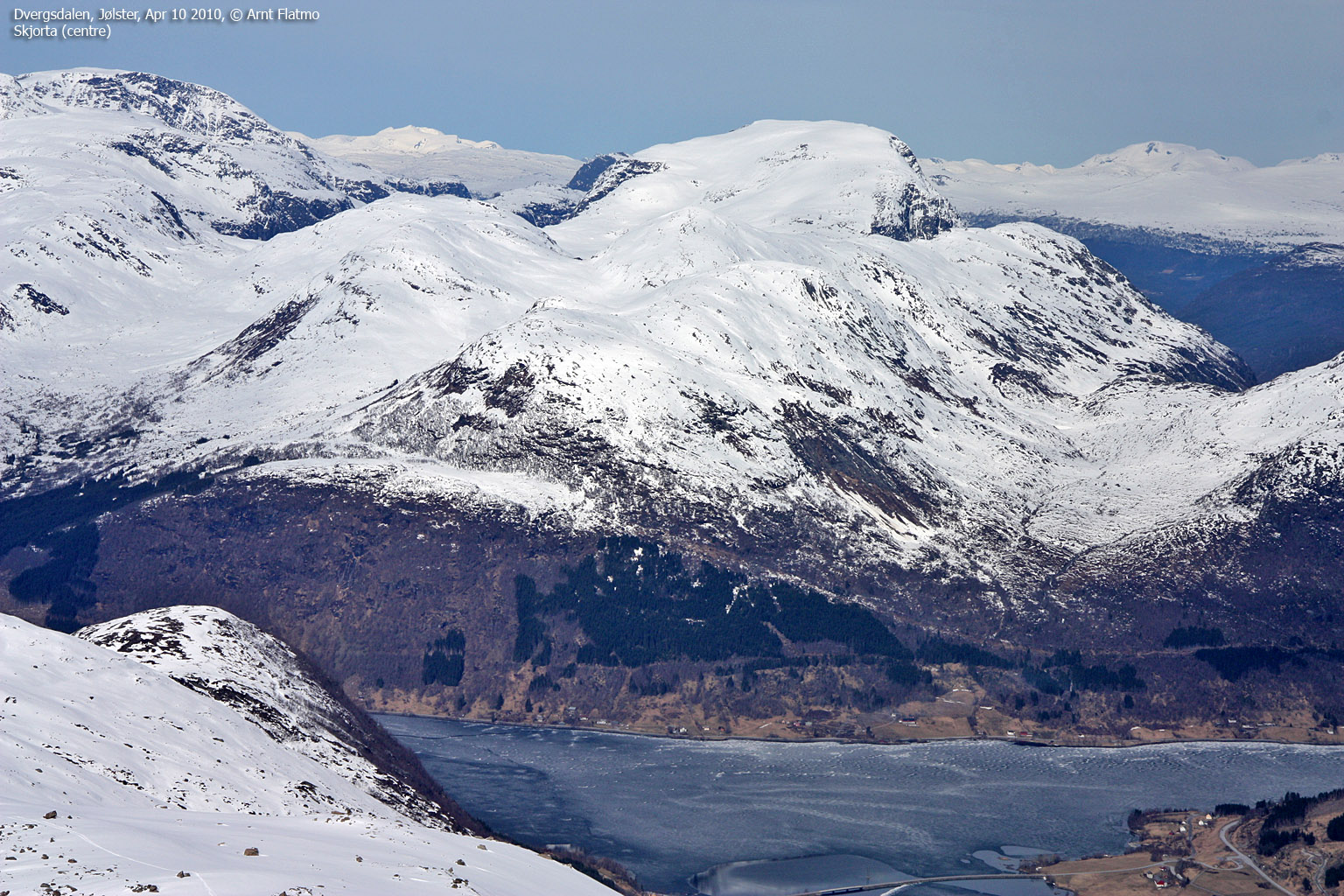
To me, the real trip began as soon was we reached the Tverrfjellet - Salsegga ridge. It all came along together simultaneously; the flow, the rhythm, the sensation, and the mojo. We stopped for lunch at point 1256m on Salsegga - right on the Jostedalsbreen national park border.

Pause on Salsegga
(Click for larger image)
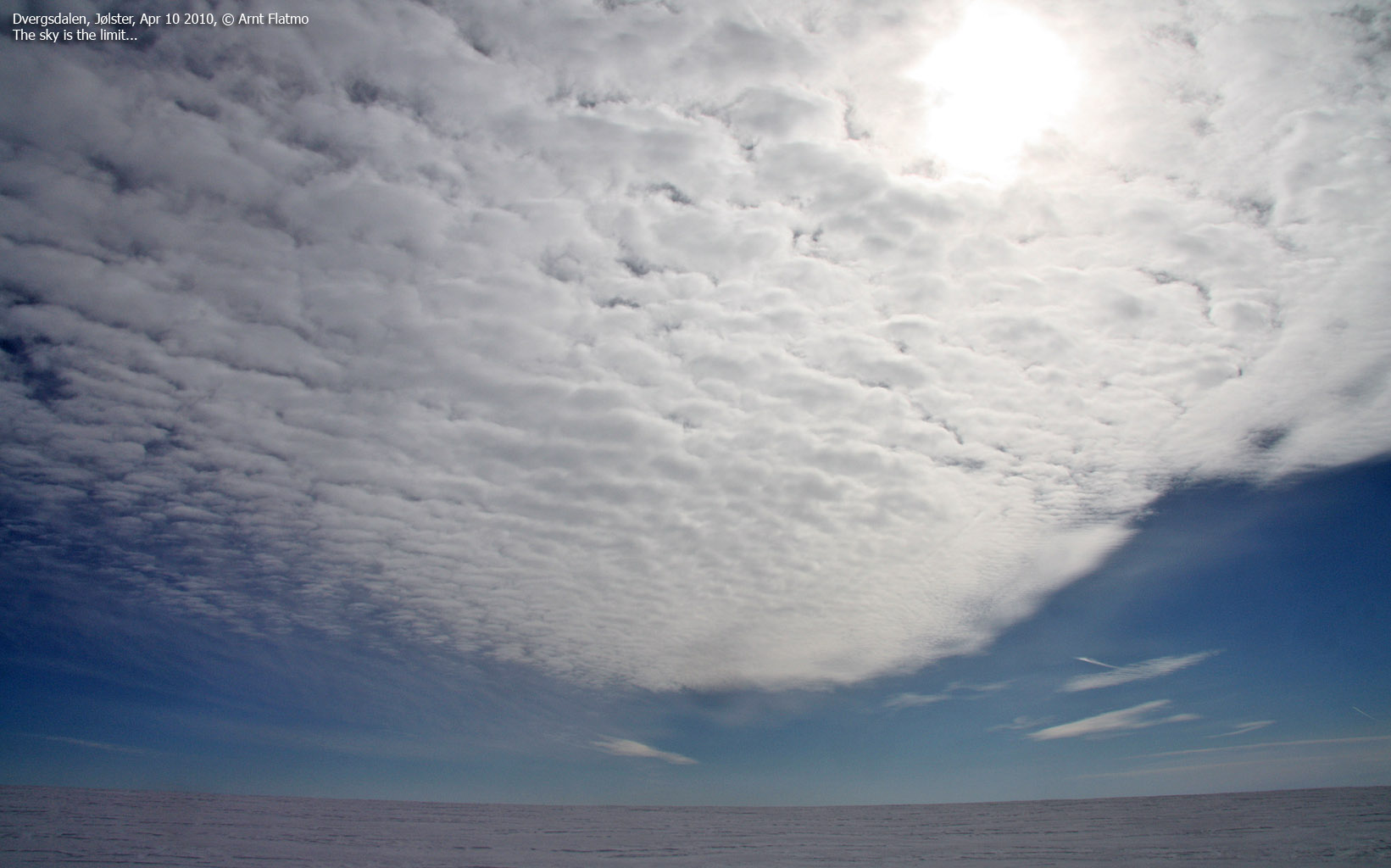
I really looked forward to get on the glacier, well knowing that there would be a few "boring" kilometres with nothing but flat terrain. I haven't always enjoyed skiing glaciers. The first - Fresvikbreen - was nothing but a nightmare, Jostefonni was a hard two-day project, I was trembling of fear (of falling down) on my way up Folgefonni, and my feet were absolutely killing me while traversing Jostedalsbreen. And not to mention the glaciers on Greenland - certainly not easy street! But today, there would be no negative thoughts. None whatsoever!

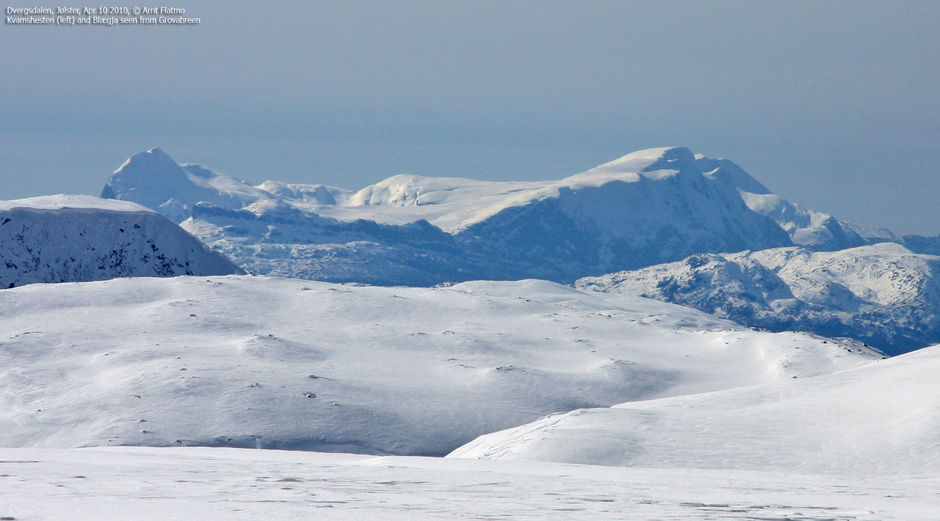
On the way across Grovabreen
(Click for larger image)
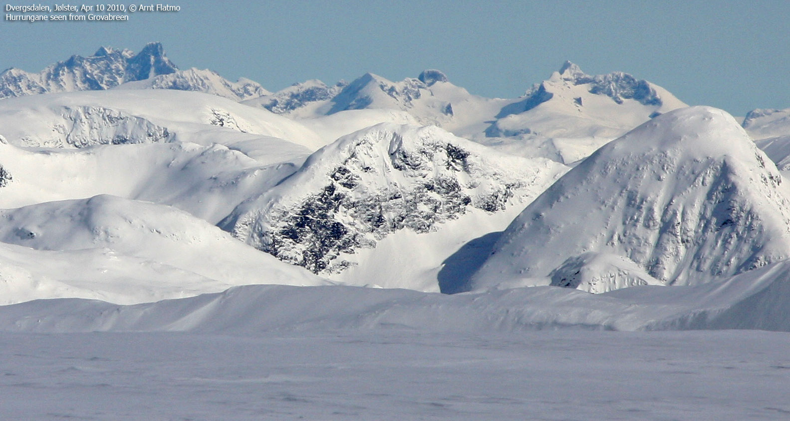
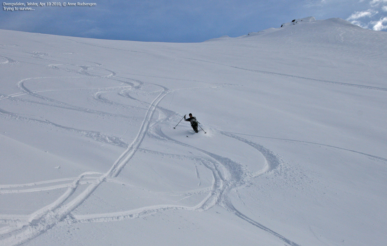
It turned out that none of us had a GPS map that included the high point. Thus, we would have to pin-point the summit location based on the horizon view (an exercise which is always fun, providing visibility is good...). After arriving on what we assumed was (roughly) the top, we skied around in circles until we were confident that we were on top of Grovabreen. Our location was 32 V 368604 6819603, which (in retrospect) was 100m northwest of the high point on the Garmin GPS map. But we skied 50m in that direction (southeast) and there was no doubt that we were going downhill (and the horizon towards the northwest gradually disappeared). In other words, point 1636m on the Garmin map is not correct!

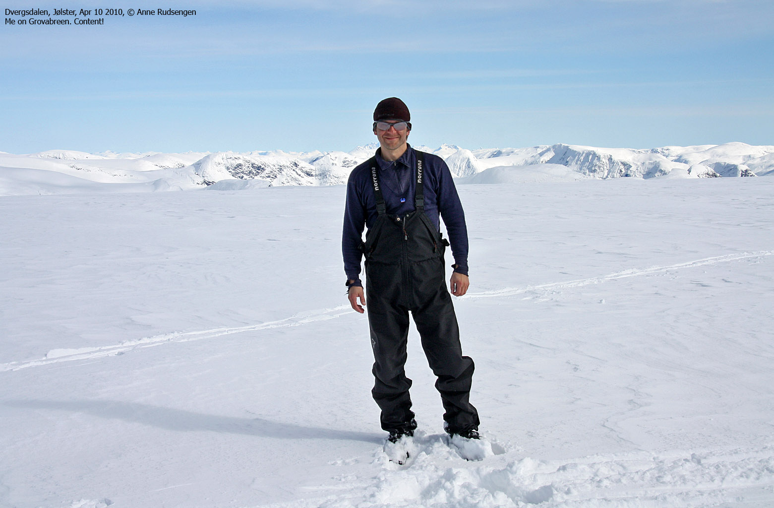
On top of Grovabreen
(Click for larger image)
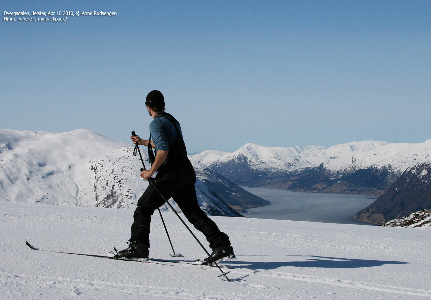
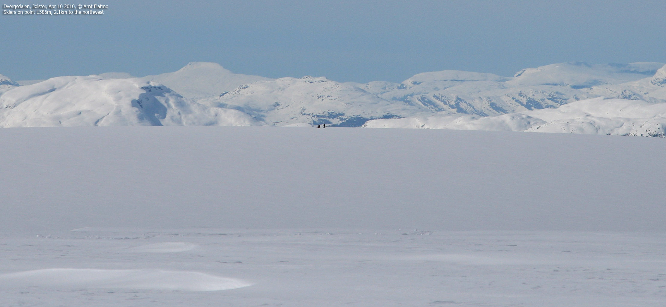
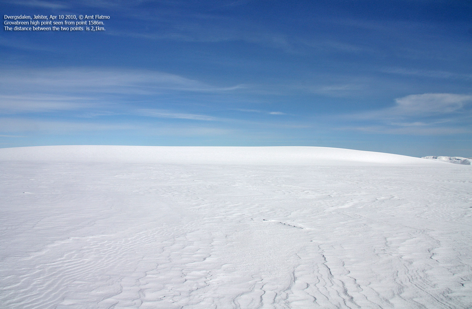
We arrived on the top 2:55pm, 3h:35m after heading out. With the stunning 360 deg. panorama, it felt as we were on top of the world. I remember a slight sensation of worry, considering that I would have to figure out all the tops for the panorama pictures. It was a hot day, and we should have brought more water. Perhaps more sunscreen, too. A couple of skiers appeared on point 1586m, 2,1km to the northwest, and according to Anne - this is the point where skiers normally turn around. We agreed to ski over this point and then descend into Fagredalen. Little did we know how fun this descent would be.

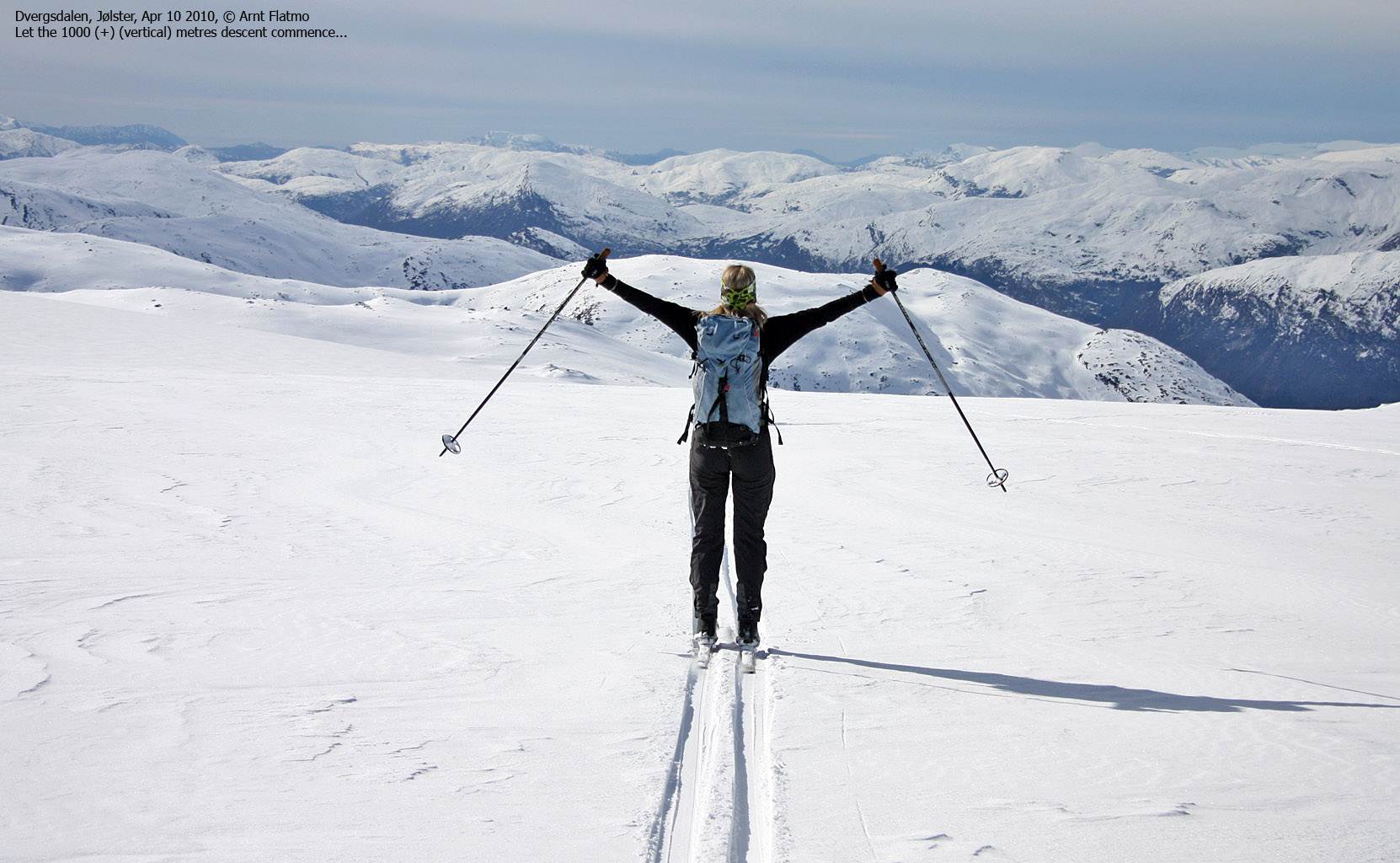
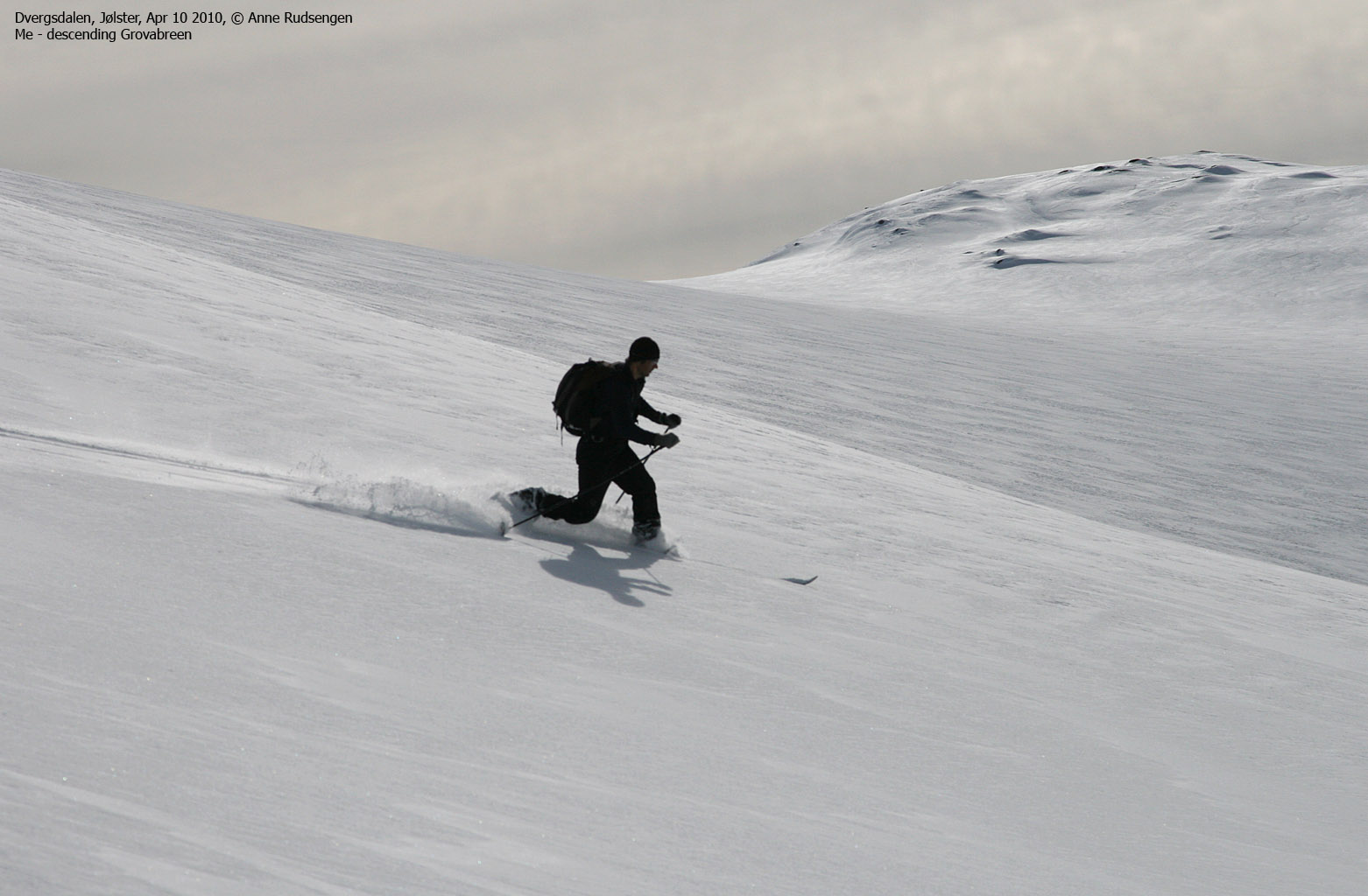
Descending from Grovabreen
(Click for larger image)
We were skiing on regular mountain skis (demanding a better Telemark technique than I possess) and I hadn't any high hopes for a memorable descent. But the snow turned out to be just perfect, and the descent was fun from beginning to end. Naturally, I took my share of falls, but with this amount, they seemed to be inconsequential (I have a strong fear of twisting my knee cap - again).

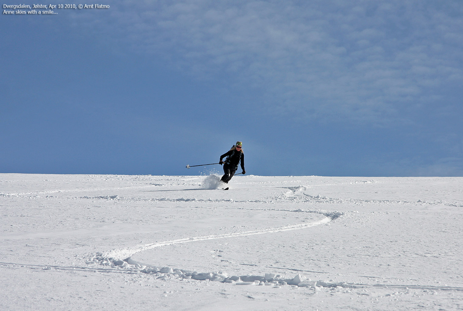
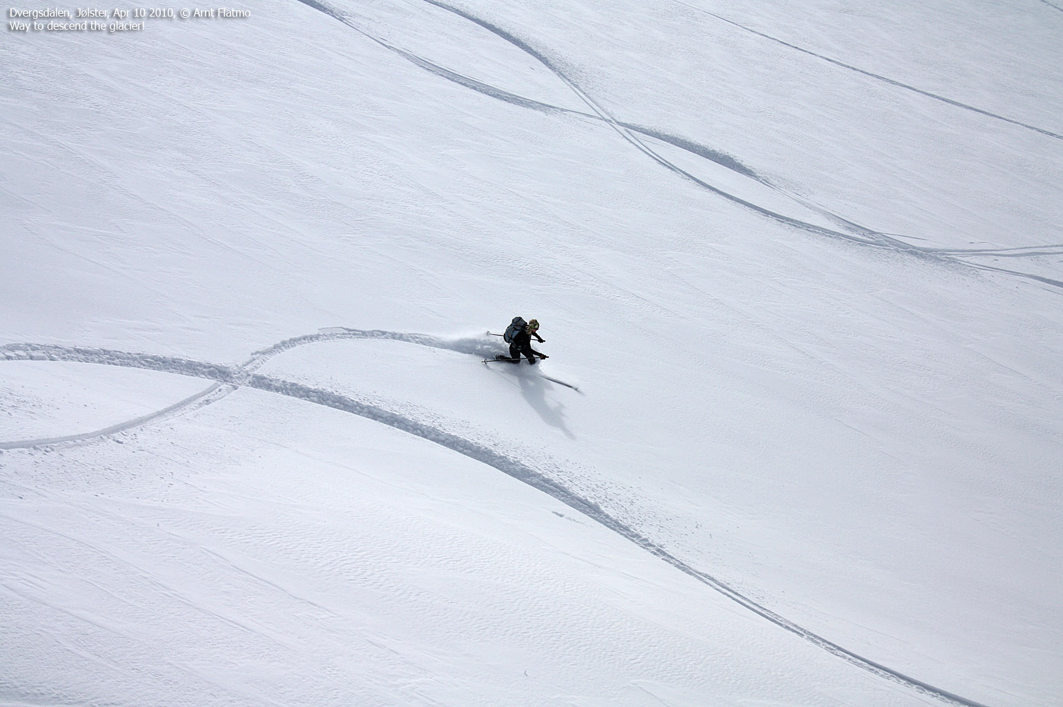
The closest thing to heaven...
(Click for larger image)
The descent through the Fagredalen forest was also heaps of fun. With bush and trees popping up everywhere, one had to think fast, even though the mind wasn't always as fast as the will. We returned to the trailhead 5:10pm - 6h:50m after leaving. It was yet another wonderful day in the Sogn og Fjordane mountains...

Mind vs. will
(Click for larger image)
Next day: Fivlenosi


man")


")


