Norwegian Mountains, Sogn og Fjordane
Hogden, 601m
Svarstadveten, 591m (Bergsideveten)
| County/Municipality : | Sogn og Fjordane/Stryn | ||||||
| Maps : | 1318-I Stryn (Statens Kartverk, Norge 1:50 000) | ||||||
| Primary factor : |
Hogden: 168m Svarstadveten: 38m |
||||||
| Hiked : | Oct 2011 | ||||||
| See also : |
| ||||||
| See also : | Other Sogn og Fjordane mountains |
Introduction
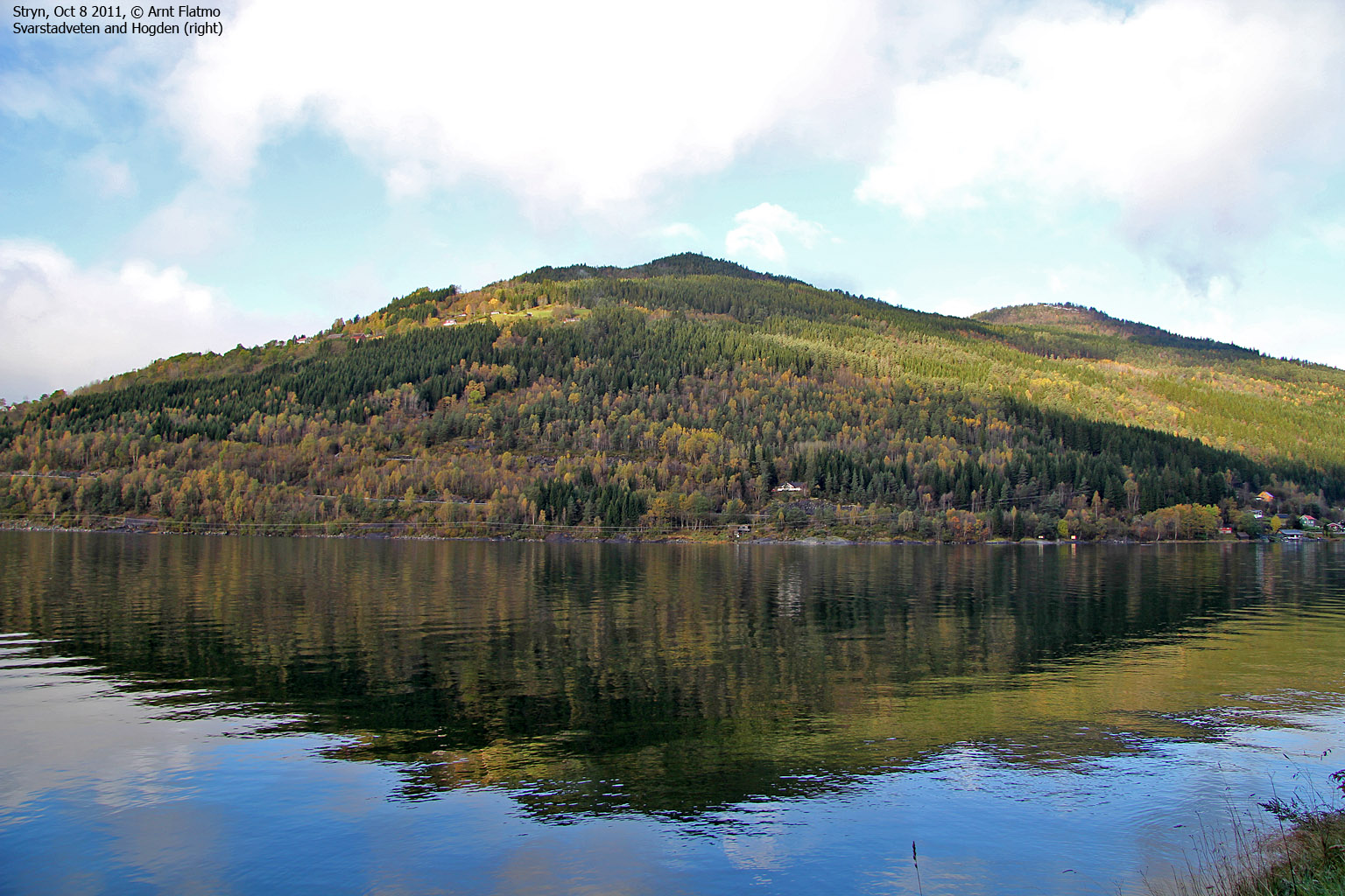
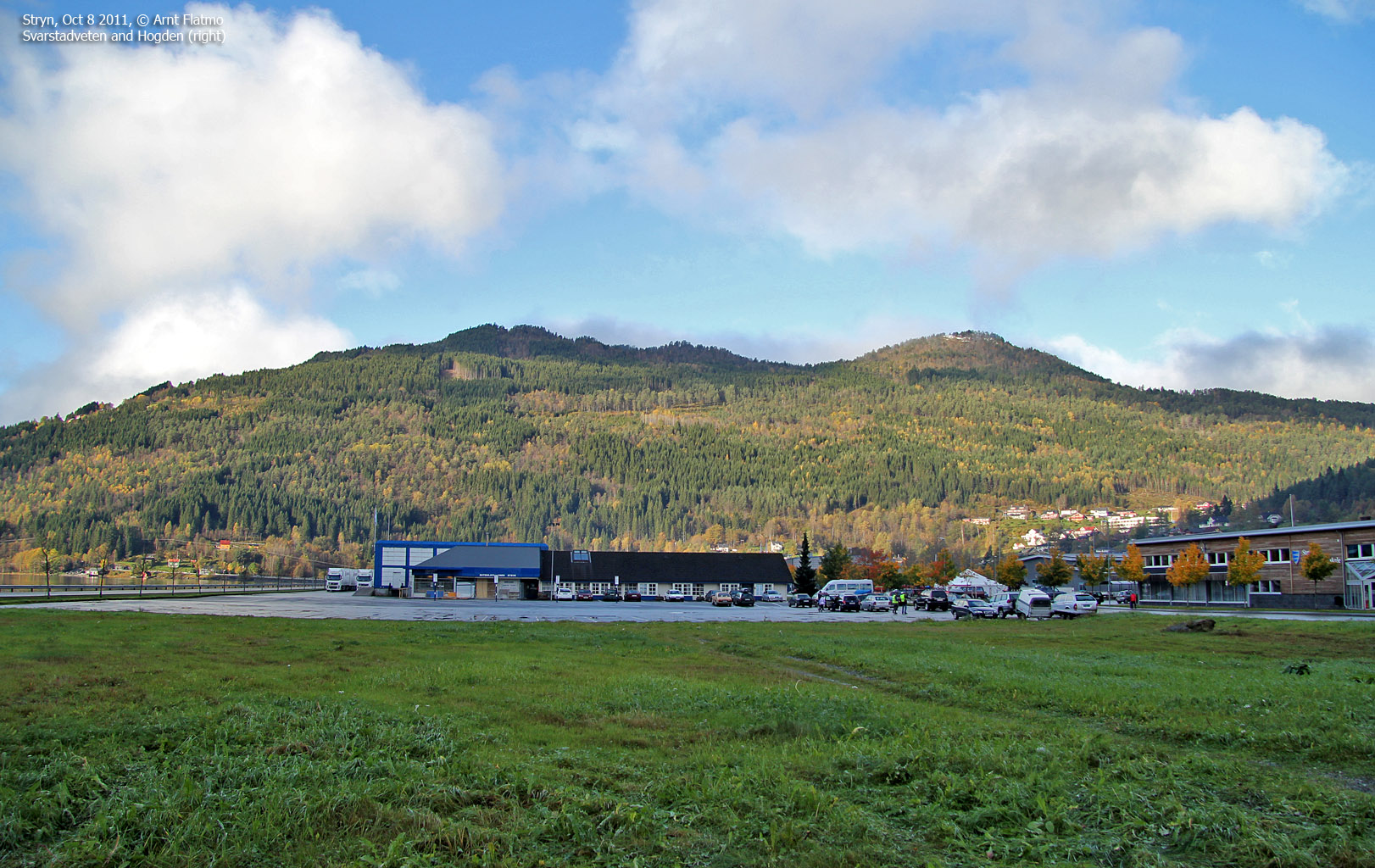
The tops Svarstadveten and Hogden are located just 3km west of Stryn, and they are two of the most accessible and popular Stryn "city mountains". These two tops are also among the lowest in Stryn municipality.
Svarstadveten and Hogden

(Click for larger image)
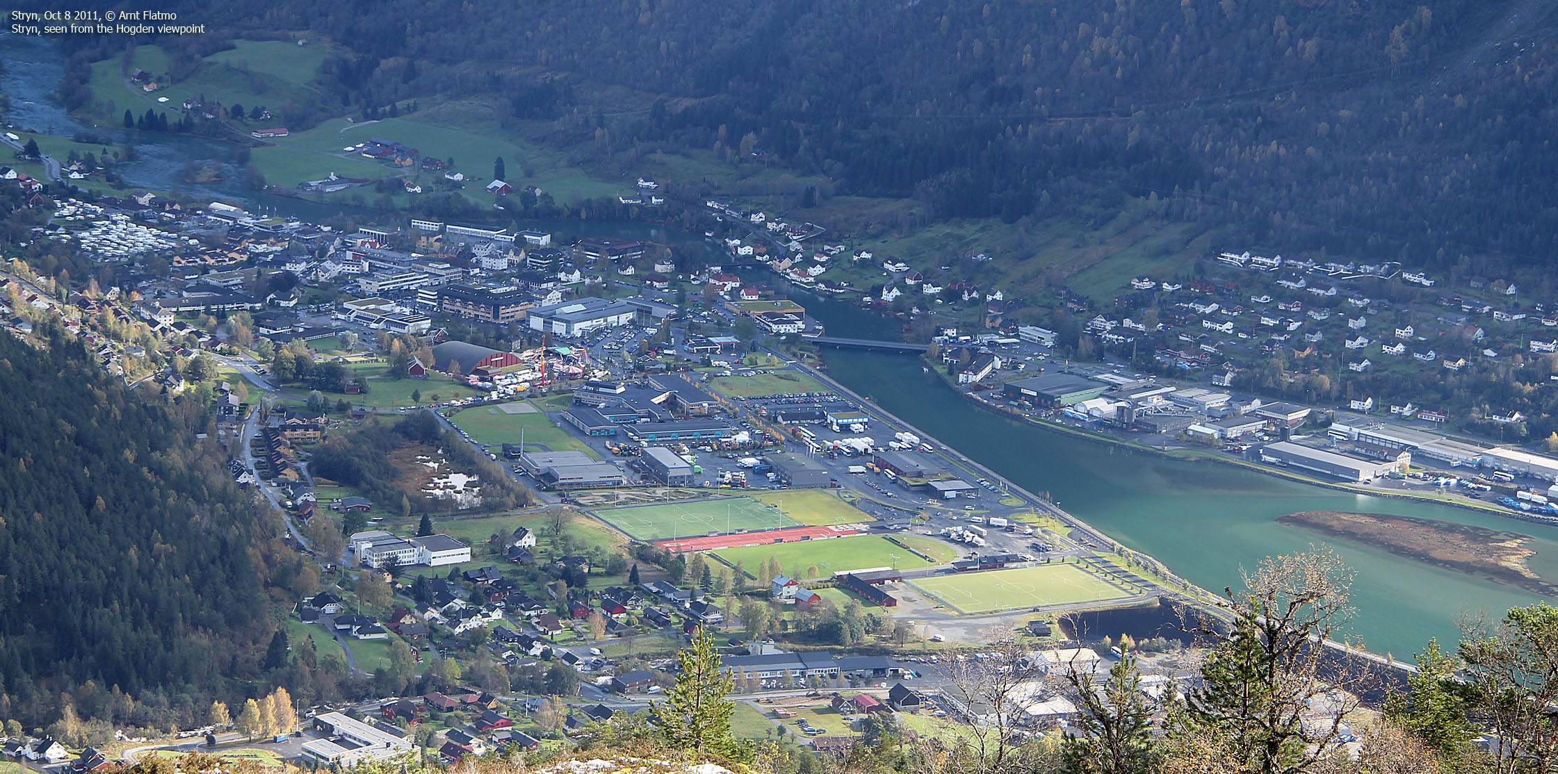
The normal starting point is Vinsrygg. Follow the mountain road to Lundesætra and follow the forest round trip route describe further down on this page. Upon descending Hogden, you'll have an excellent view towards Stryn. This is an excellent family hike!
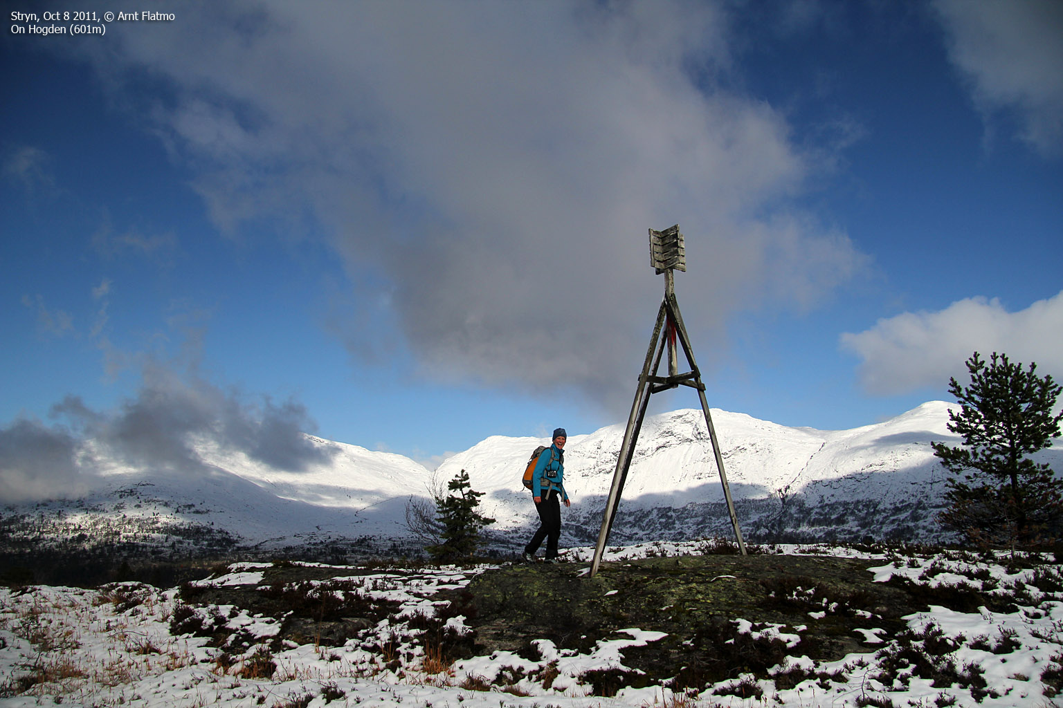
On top of Hogden

(Click for larger image)
Primary factor:
Hogden (Norge 1:50,000: 601m, Økonomisk Kartverk: 600,96m, UTM 32 V 377203 6866444) has a primary factor of 168m towards the higher parent mountains to the north, e.g. Gulkoppen (1306m). The defining saddle (approx. UTM 32 V 376909 6867737) is found near Lundesætra. Ref. Økonomisk Kartverk (5m contours), the saddle is within the range 430-435m, interpolated to 433m.
Svarstadveten (Norge 1:50,000: 591m, Økonomisk Kartverk: 590,78m, UTM 32 V 377258 6865456) has a primary factor of 38m towards the higher parent Hogden. The defining saddle (approx. UTM 32 V 376986 6866150) is found between these two tops. Ref. Økonomisk Kartverk (5m contours), the saddle is within the range 550-555m, interpolated to 553m.

Google map
Google's interactive map. You can zoom, pan and click on the markers.
|
|
|
Trail descriptions
| This disclaimer is regarding all of the literature and instructional guides posted on the westcoastpeaks.com website. These instructions are guidelines only, and should not be used in lieu of common sense or judgement when attempting any of the actions involved or instructed. Westcoastpeaks nor myself will not be liable nor will it indemnify any form of compensation to anyone who has injured, harmed or even killed themselves or others while following any of the instructions written within the website. It should be noted by any persons willing to undertake any of the instructions provided that mountains offer varying levels of risk, regardless of size or incline. Risks to be considered are as follows but not limited to: wild animals, weather, the terrain, bad judgement, inappropriate or insufficient equipment, improper training or experience and of course, bad luck... |
The route descriptions are valid per Oct
2011.
|
Route 1: Vinsrygg - Svarstadveten - Hogden (summer/autumn)
|
|
Access
(all distances are approx. distances)
The starting point for this route description is Stryn - more precisely the RV60/RV15 roundabout in the centre of Stryn. Follow RV15 to the west (Hornindal/Nordfjordeid) for 3,8km. Turn right when you see the "Vinsrygg" signpost (N61.88787 E6.66012). Drive 1,4km and turn left when you see the "Vinsrygg" signpost again (N61.88998 E6.68518). Follow this road 1,9km up to Vinsrygg (N61.89512 E6.68489) and the mountain toll road. You should try to find parking here, although there is no public parking. Take the time to ask for permission...
The route

Svarstadveten:
Follow the mountain road upwards for 1,1km. Turn left when you see a tractor road and a map on your left-hand side (N61.90460 E6.68218). Don't follow the tractor road, instead locate the forest path that begins here. Look for a sign up in one of the trees. After 0,2km on the forest path, you run into the tractor road again, but keep going straight ahead. Follow the marked path all the way up to Svarstadveten (N61.90187 E6.66373), where you'll see an antenna and a building that has a visitor register on one of its walls.
Hogden:
Follow a marked path that runs to the northwest. The path takes you to a lake, and then you can either a) continue off-trail north to Hogden, or follow the marked path - which, most likely - in the end takes you to Hogden after a slight detour. In general, the area between Svarstadveten and Hogden is quite boggy. Hogden summit is marked by a huge trigonometric point (N61.91071 E6.66201).
Descend Hogden to the east. After approx. 0,5km, you'll reach an excellent viewpoint (N61.90931 E6.67006) with view towards Stryn. There is also a visitor's register here. The path seems to fade away here, but go left (north) and locate the path that runs down the forest ridge. When you reach a crossing tractor road, just cross it and continue on the path. When you reach another crossing tractor road, turn left and follow it down to the main Lundesætra road.

Pictures and Trip reports:
- Hogden and Svarstadveten, Jan 1 2020
- Hogden and Svarstadveten, Aug 6 2018
- Svarstadveten and Hogden, Oct 8 2011
 westcoastpeaks.com
 Other Sogn og Fjordane mountains
 Other Norwegian mountains


