
|

Hvannadalshnúkur seen from the highway(No Javascript) |
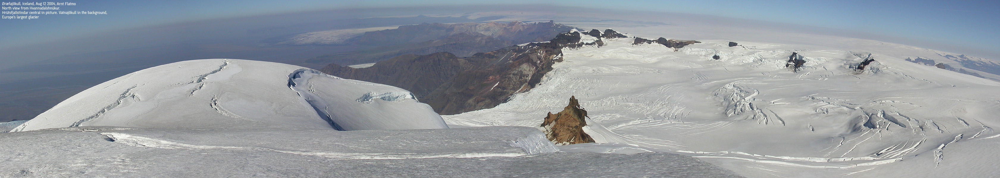
Hvannadalshnúkur is the highest point on Iceland, located on the Öræfajökull glacier, a southern spur of the largest glacier in Europe - Vatnajökull. Vatnajökull was recently covered in the international newsroom due to the eruption near Grímsvötn Dec 18 1998. Öræfajökull connects to Vatnajökull via Hermannaskard at 1350m elevation. Several routes lead up to Öræfajökull and Hvannadalshnúkur, all from south-southwest.
From the southwest, you can follow the Virkisjökull or Sandfellsheidi routes. From the south (a high road takes you up to 700-800m elevation) you can follow the Sléttubjörg ridge up to the glacier. Mountain guides are available at the Visitor Center at Skaftafjell. Another useful source of information is fjallamennska.is. The mountain guides can be reached via email:mountainguide.is or mountainguide.is. Their phone # in Reykjavik is 354 - 587 9999 and their cellphone in Skaftafjell is 354 - 894 2959.
Maps:
You will find Iceland maps on the web-sites listed below.
Good enough for our usage was the Skaftafell 1:100 000 map.
I am trying to obtain rough maps for use on this web page, but the sources I have checked so far demand annual royalty.
Primary factor:
Hvannadalshnúkur has a primary factor of 2119m being the highest point on Iceland.
Aug 11, Bjørn and I left Reykjavik and headed eastbound towards Skaftafjell and the main goal for this holiday - Hvannadalshnúkur 2119m. Along the way, we stopped by a few sites like Seljalandsfoss, Skógafoss and Dyrhólaey. Pictures from these sites can be found here. We arrived the Skaftafjell area in the evening and rented a cabin at Svinafell. We went to the visitor center to obtain more information about the mountain, but all we ended up with was a 1:100 000 map. We took at the trip to the end of the Svinafellsjókull before we called it the night.
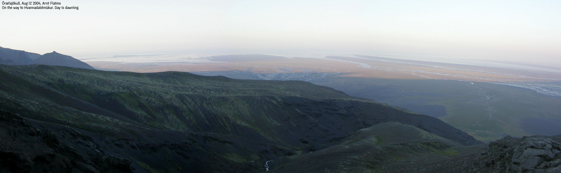
We got up 04:00AM in the morning and drove to the Sandfellsheidi trailhead. We left the trailhead 05:00AM just as day was dawning. No need for headlights. The weather was (still) sensational, although the horizon was a bit hazy. The trail was faint, but the direction was quite obvious. The first task was to cross a river, and we tried to cross at the place we reached it. I stepped onto a large rock to determine the sequence of steps and when the rock sunk into the river, I was soaking wet on both feet. Not a good way to start a 2100m ascent.
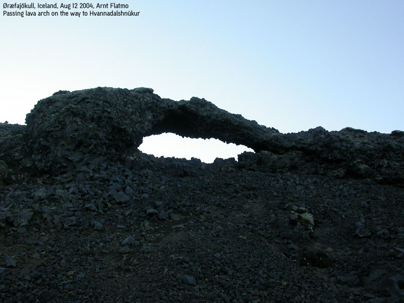
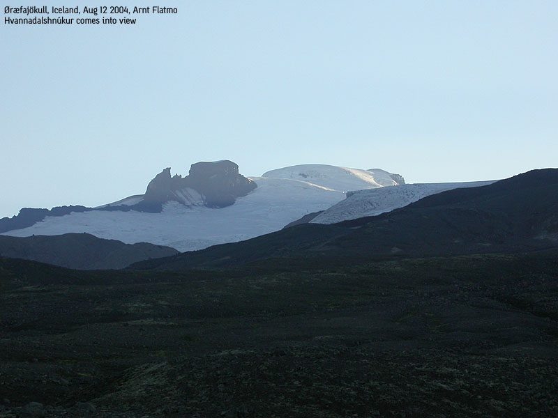
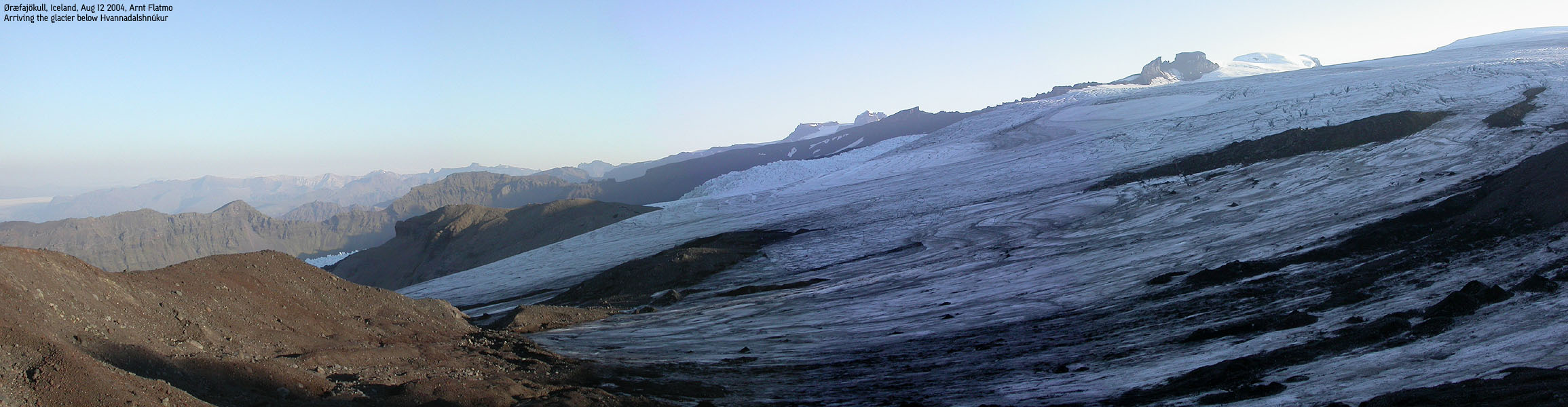
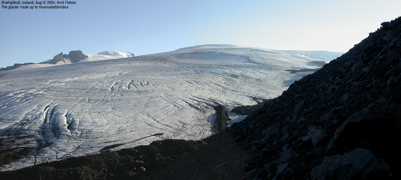
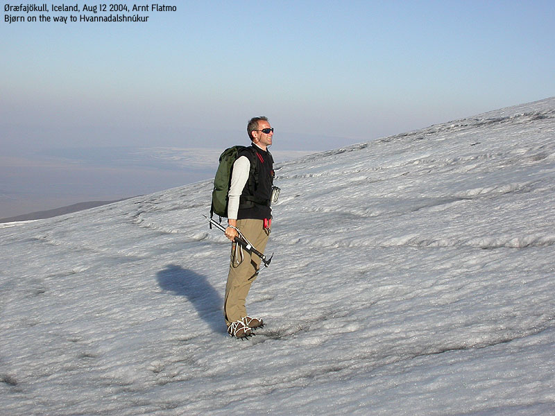
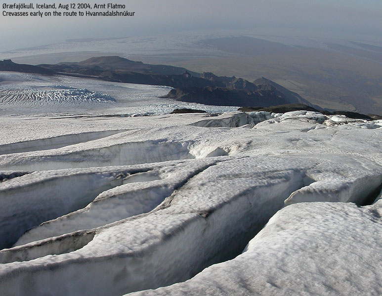
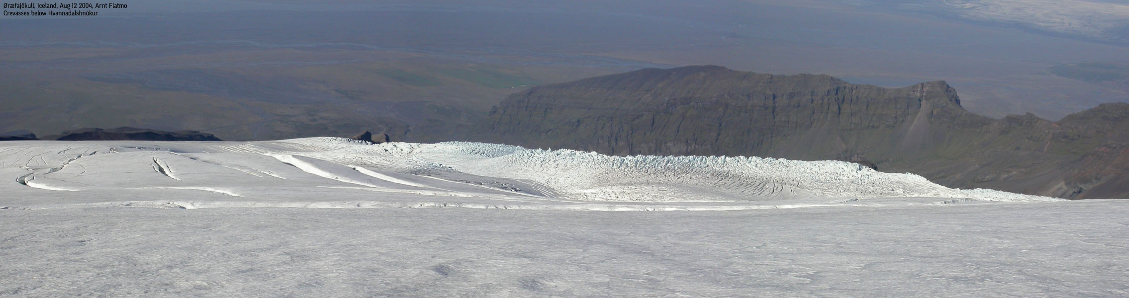
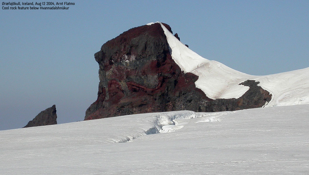
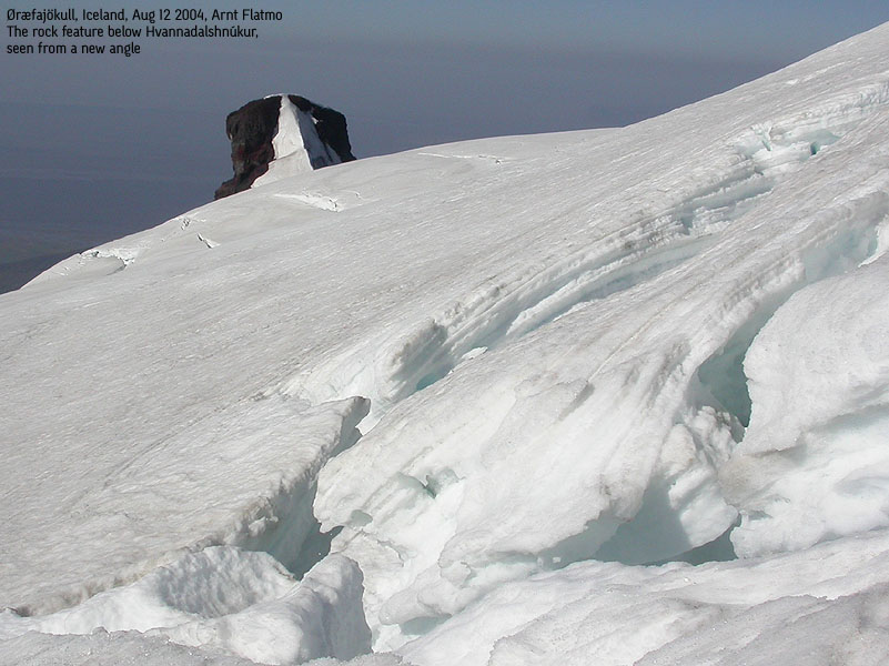
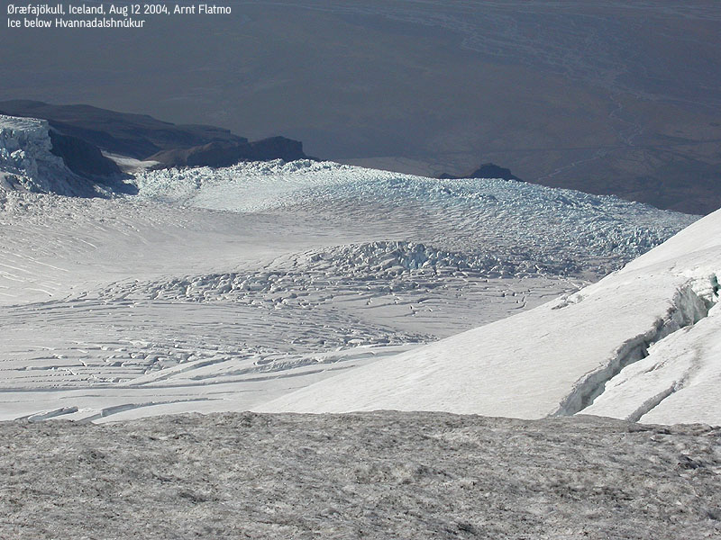
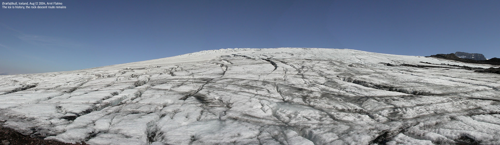
We found a better place to cross (higher up) and were on our way up the - quite boring - route up to the glacier. Above 700m, only cairns indicated where the general route went. After approx. 5,5Km we arrived the glacier at approx. 1400m elevation (don't remember exactly). By now, we had the summit in view, and the direction was still obvious. The glacier side was not very steep, and blue ice revealed all the crevasses. We pulled out crampons and axes and headed upwards. Steering between the crevasses was quite easy and soon we entered a thin layer of wet snow above the blue ice.
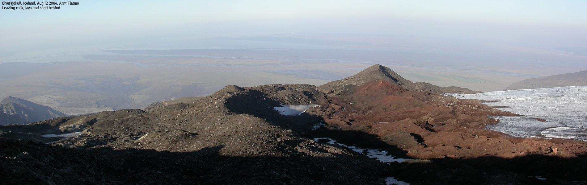
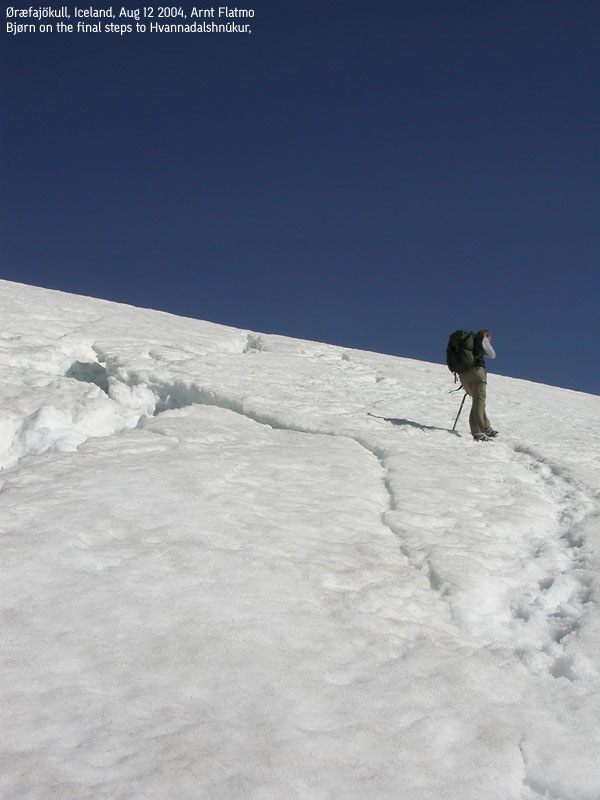
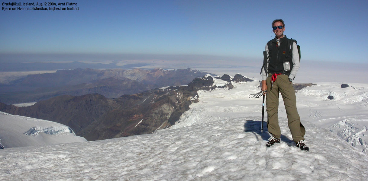
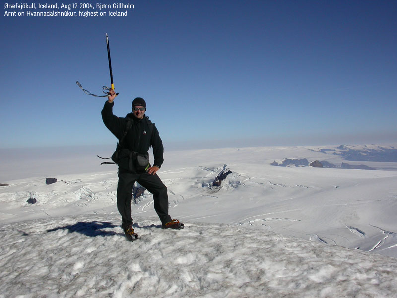
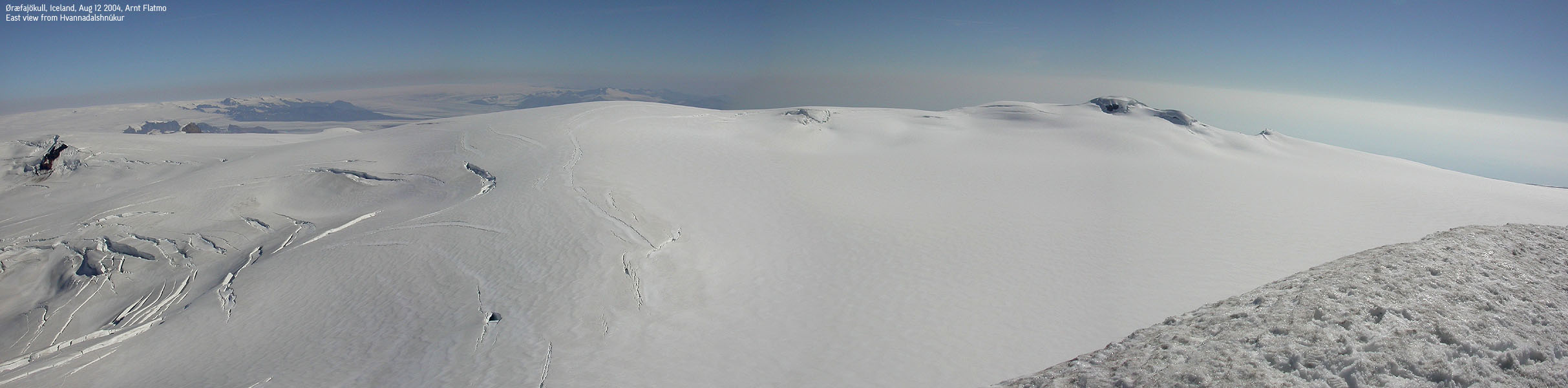
After a while we saw tracks, and quite a large number of them. We decided to follow them, as they were clearly heading the right way. By 09:15Am, we reached the Öræfajókull plateau. A long and boring glacier crossing was still ahead of us before we could take on the final 250m vertical meters to the summit. A few crevasses ran across the final hill and called for some focus during the crossing. It was altogether fairly unproblematic and we were standing on top of Iceland by 10:45AM. Haze prevented us from getting a good look at Vatnajökull. There was a noticeable wind on the summit, so we agreed to have lunch a bit further down.
From our lunch-break position, we saw two roped groups and two trailing hikers. We ran into the groups on our way back across the glacier. The mountain guides were not very pleased to meet two extremely stupid hikers who surely had never been to a mountain before. And certainly not a glacier. It is never pleasant when people are yelling in your face, and this unpleasant encounter took away any positive feeling I had about the mountain. We tried to put this encounter aside, because we both felt confident that we were operating within the necessary realm of security. But this was easier thought than done.
We tried to vary the boring route down the mountain side and were back at the trailhead 14:30PM after spending near half an hour by the river, cooling our feet. My feet were quite cool enough as my feet never really dried up after the river encounter on the way up. I can't speak for Bjørn - who looked pretty fit to me, but to me the trip was far less exhausting as I thought it would be. Looking aside from our long stop down by the river, the trip had taken 9 hours, with 2100m vertical ascent. I was more than ready to get away from this mountain and get onto the next.
Our next target was Hekla. We tried to reach the Hekla area by driving through Landmannalaugar. After approx. 60Km on gravel roads we had to surrender where a river crossed the road. We went back to the highway and checked into a cabin at Vellir on the south coast.
Next stop: Hekla
Move cursor to read notes, and click on the images to see full version.
Some of the thumbnails may have been cropped to fit the format.


No Javascript:
1 2 3 4 5 6 7 8 9 10 11 12 13 14 15 16 17 18 19 20 21 22 23 24 25 26 27 28 29 30 31 32 33 34 35 36 37
