
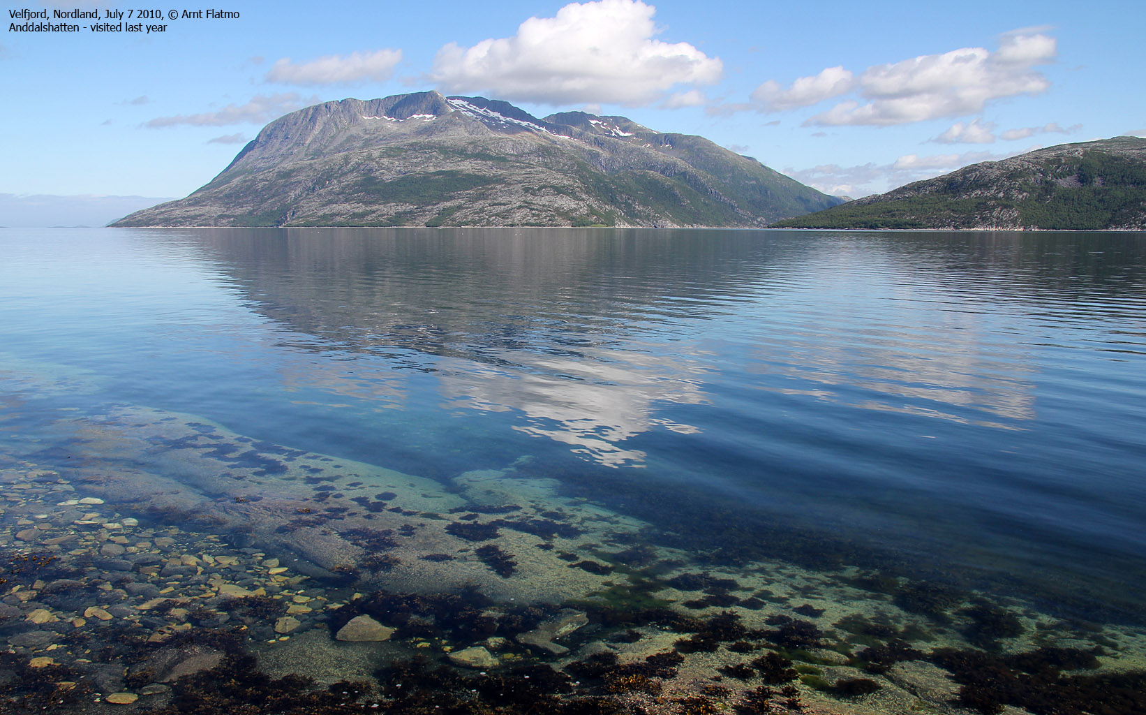
Norwegian Mountains, Nordland
Tosbotn - Kjelviktinden - Tosdalen, July 7 2010
To the main Kjelviktinden page (maps, route descriptions, other trip reports, etc.)

The route up from Kjelvika
(Click for larger image)
It was the fourth day of our summer vacation in Nordland county, and after a series of short walks and hikes, it was time for a proper one. Kjelviktinden - Bindal's highest point - was high on my wish list, and I suggested to Anne that we should take a trip to the Tosen region when the weather became a bit more stabile.
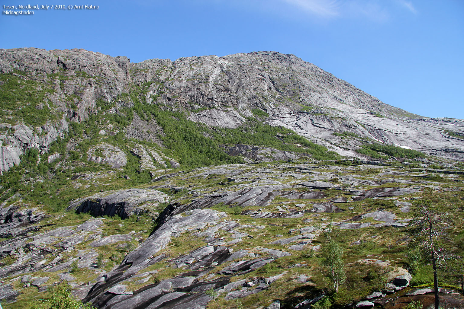
In the meantime, I started thinking about the route. Kjell Iver Johansen's home page was useful as always, but he had hiked via Middagstinden, and I wasn't sure if I wanted to go this way. So what about Tosdalen? This valley seemed to provide a good route to the top, but what about the rivers? I called Trond Tveråli, who knows the Tosen region quite well, and who has helped me out before. Trond explained that the Tosdalen route involved several river crossings. We then talked about the route from Kjelvika, and Trond kindly offered to take us there in his boat. This was just perfect! Now we had a great round trip to look forward to, and I could barely wait...
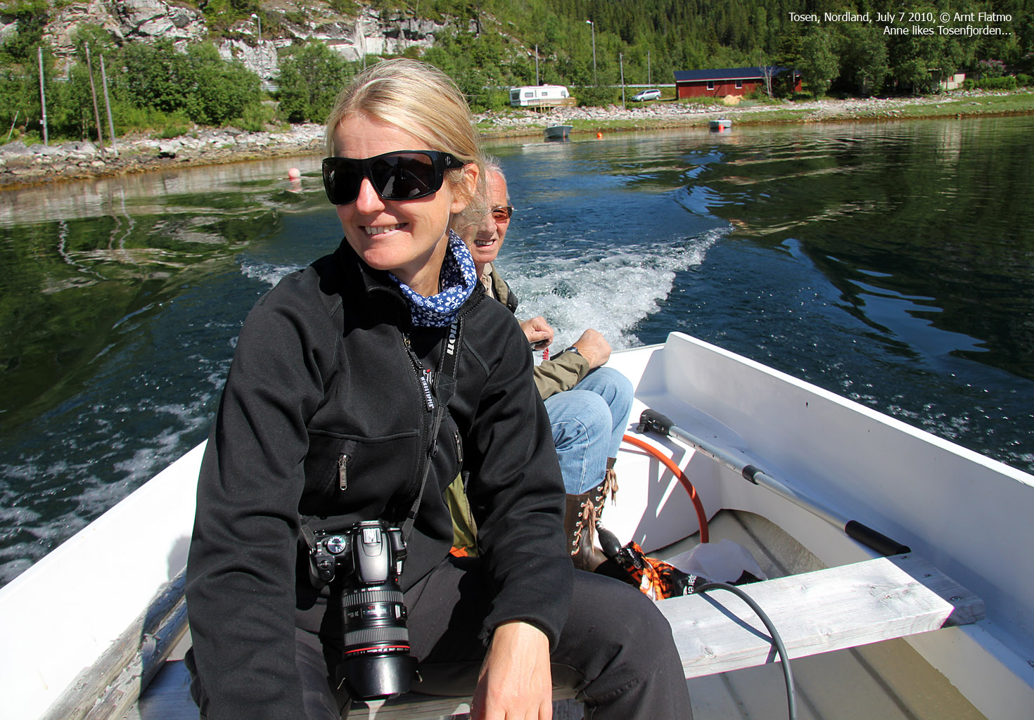
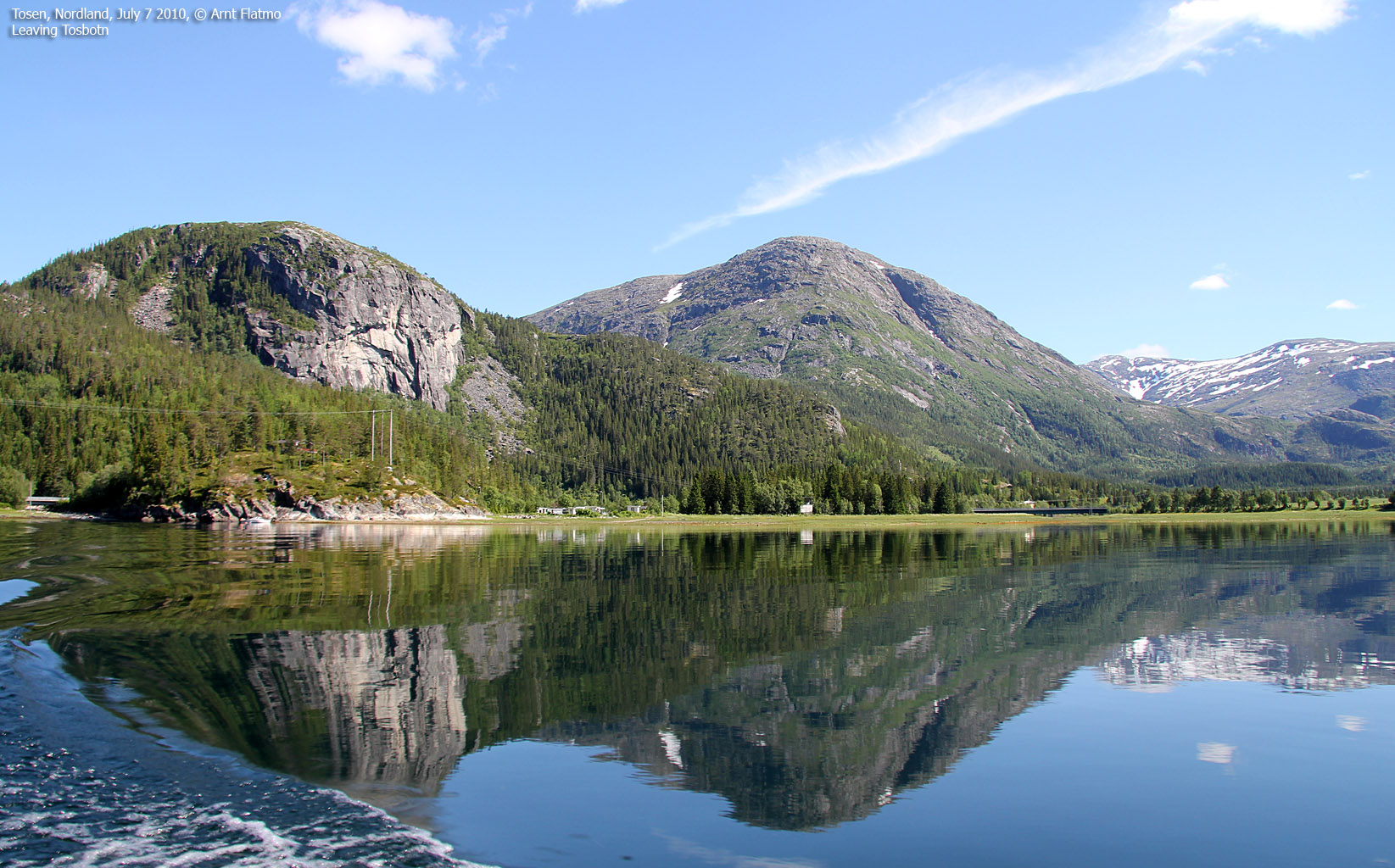
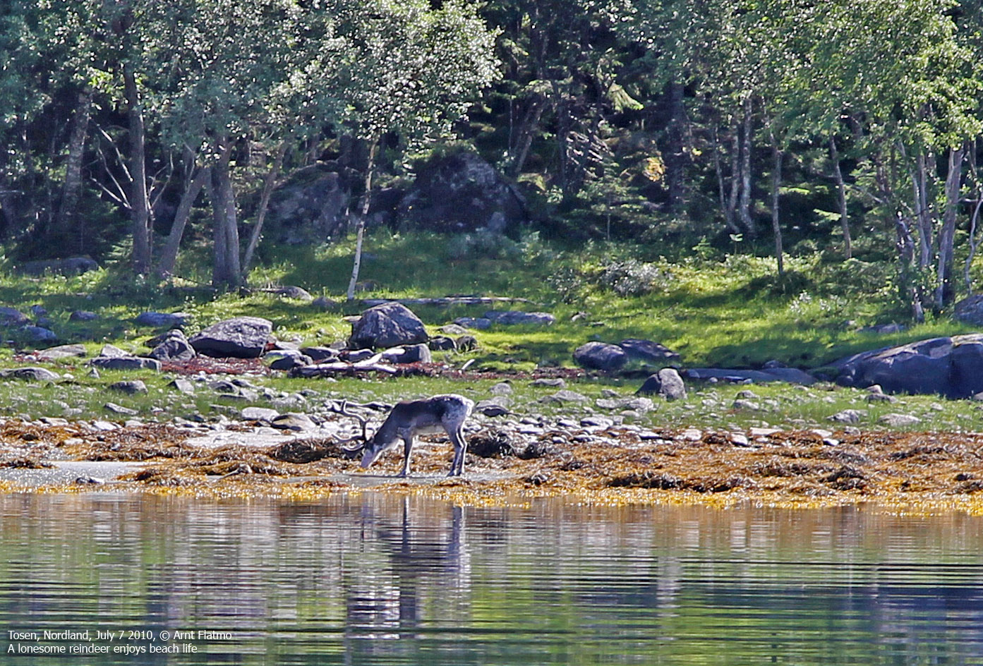
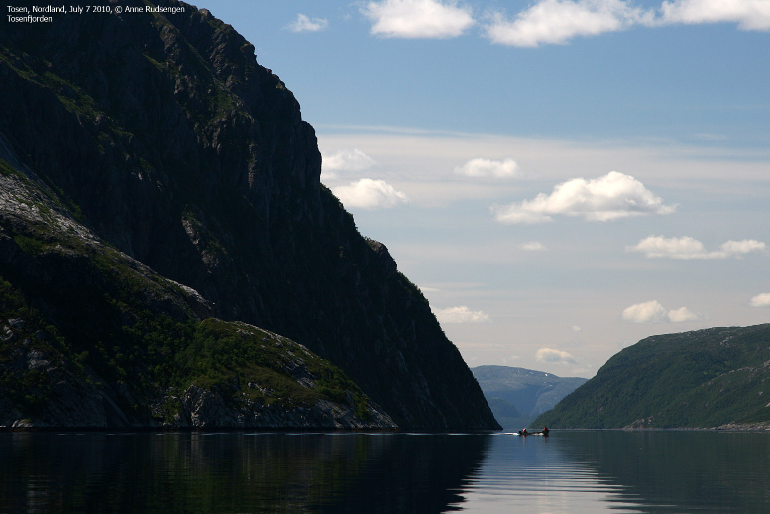
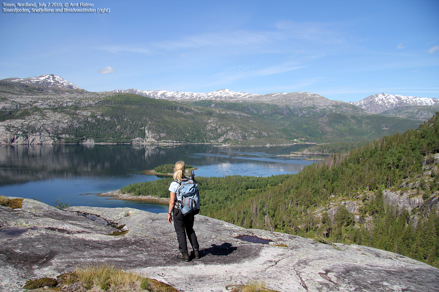
July 7 looked to be a gorgeous day, and I called Trond the day before. As he had to go to Trofors in the morning, we would have a late start, but with 24 hour daylight, this was of no concern. The next day, we parked the car outside Tosentunnelen, got picked by Trond and Beate (returning from Trofors), and half an hour later (12:15pm), we were in Trond's boat - on the way to a new adventure. Tosenfjorden was still as wine in a glass, and everything (reindeer included) reflected in the water.

On Tosenfjorden
(Click for larger image)
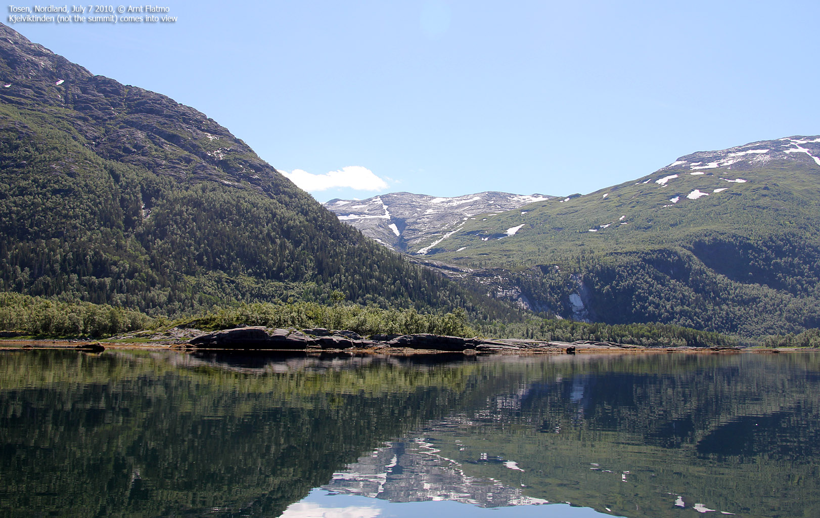
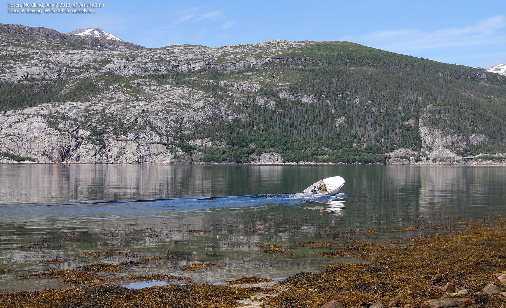
Trond dropped us off at Kjelvika, and we had a long walk ahead of us. We had a short lunch break down by the fjord, letting the views and the gorgeous weather sink in. I was very pleased to show this part of my home turf to Anne. I've been fascinated by Tosenfjorden ever since I was a kid, and reminisced some of the early morning fishing trips for rose fish, many, many years ago.
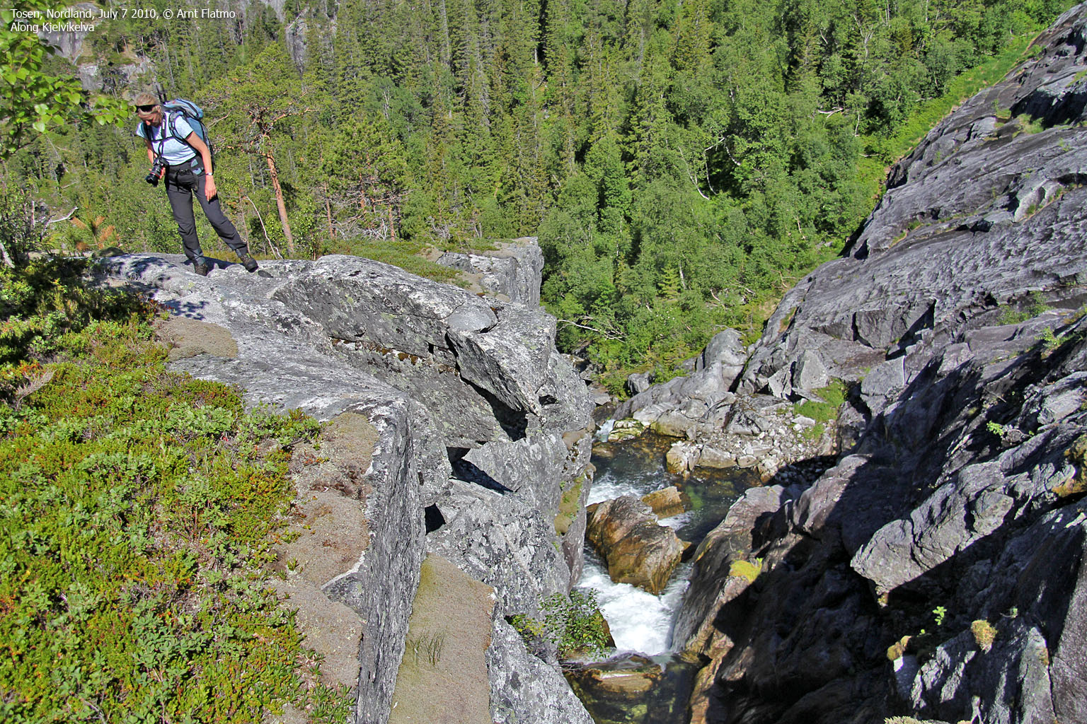
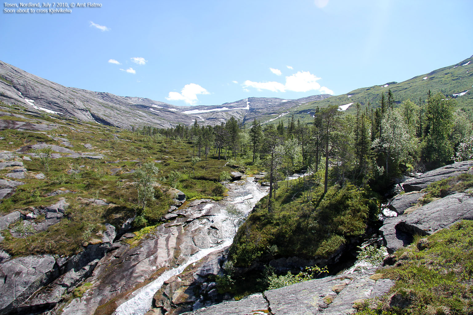
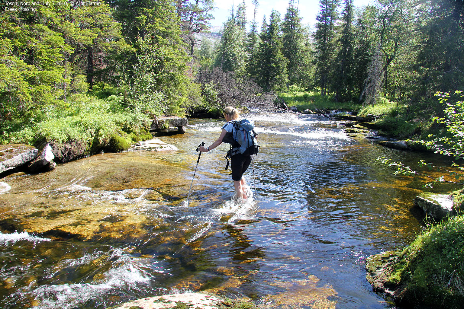
12:55pm, we headed out and found the path along the river after a little while. We lost track of it in the forest, but found it again a bit higher up. The path faded as we got the main valley in view. We found a good place to cross Kjelvikelva - through two separate creeks. We might as well get used to fording creeks and rivers. There were still plenty to come...

Crossing Kjelvikelva
(Click for larger image)
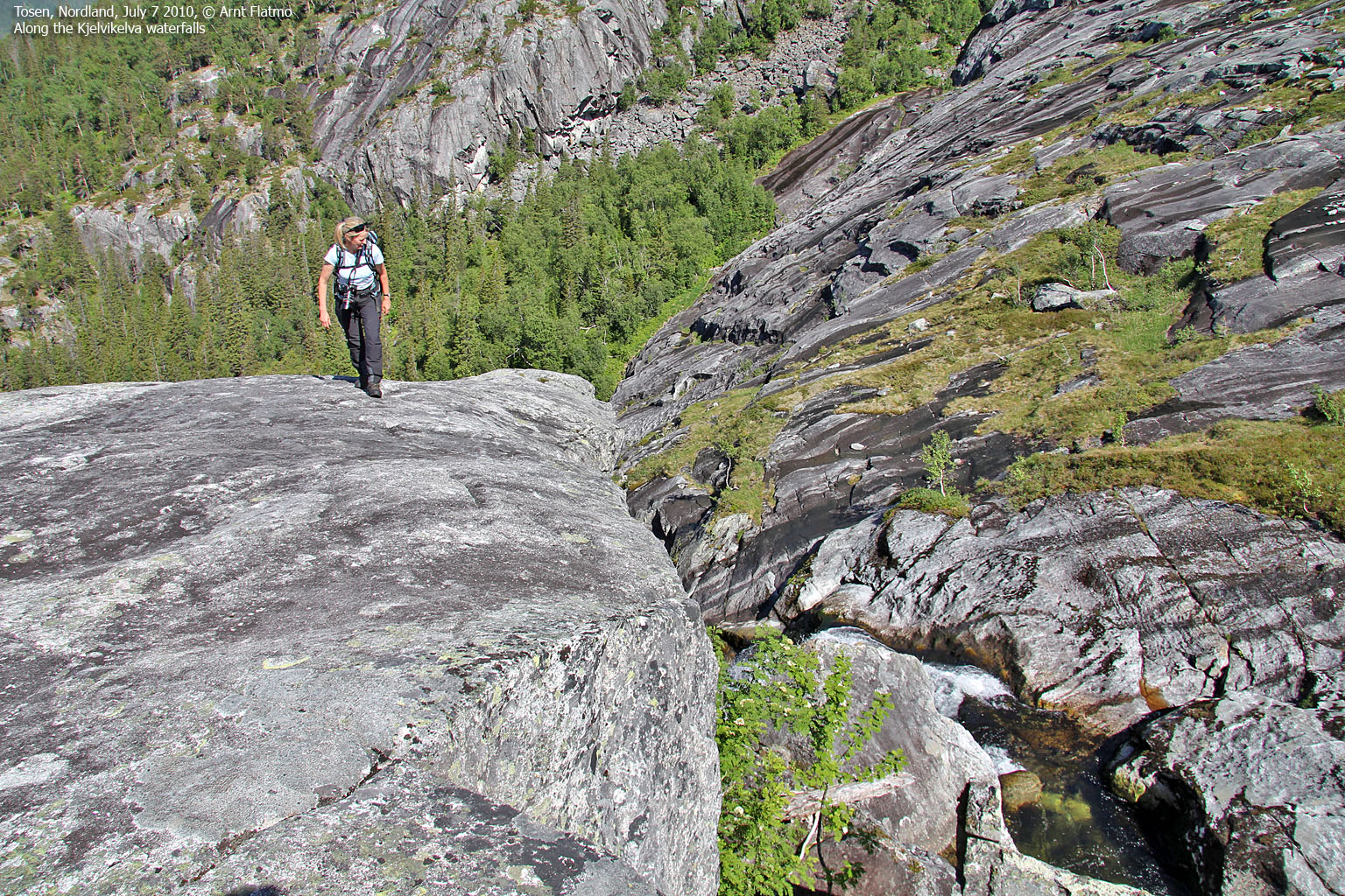
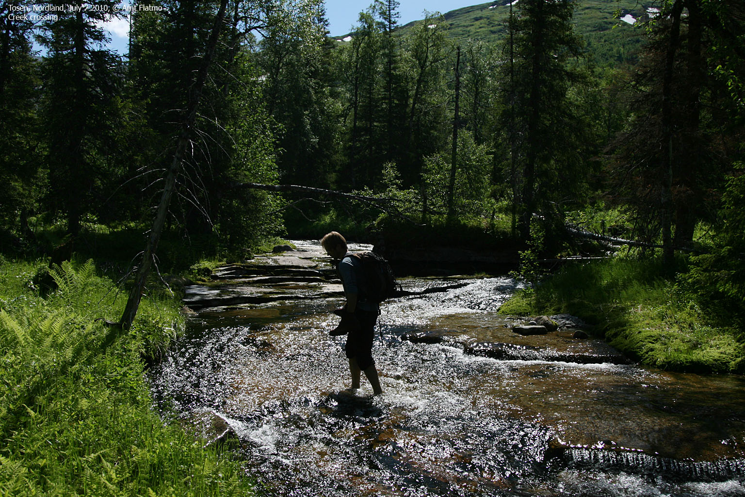
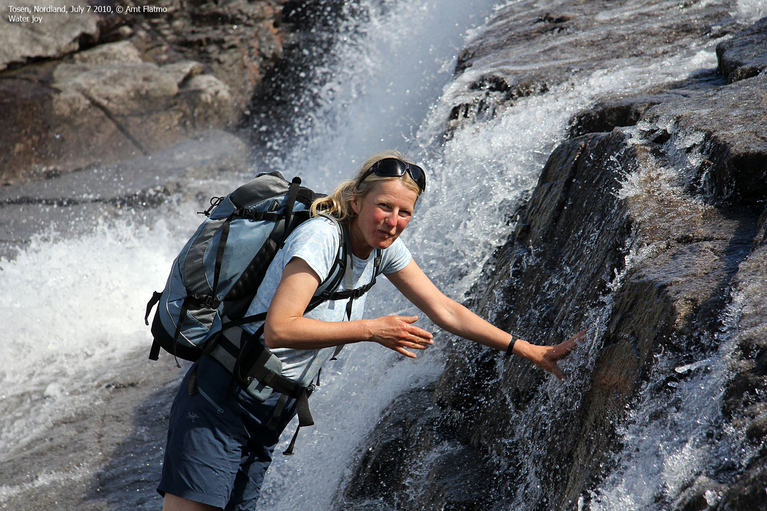
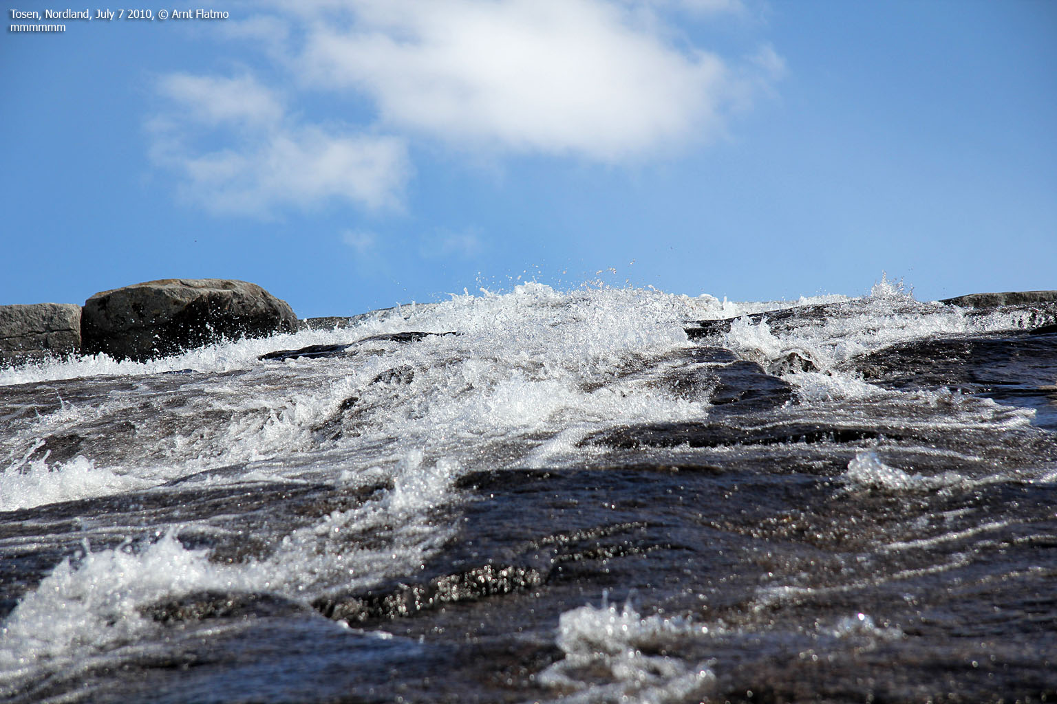
The first section up the valley offered bush and wasn't particularly fun. Once on rocky ground at 300 meters, the hike got much easier. We crossed another creek before taking on the long hill up to Tsoevtsetjahke (949m). I enjoyed being close to the river. There is just something about running water that attracts me to it. I could have stayed there all day. And Anne seemed to enjoy it as well...

Water joy
(Click for larger image)
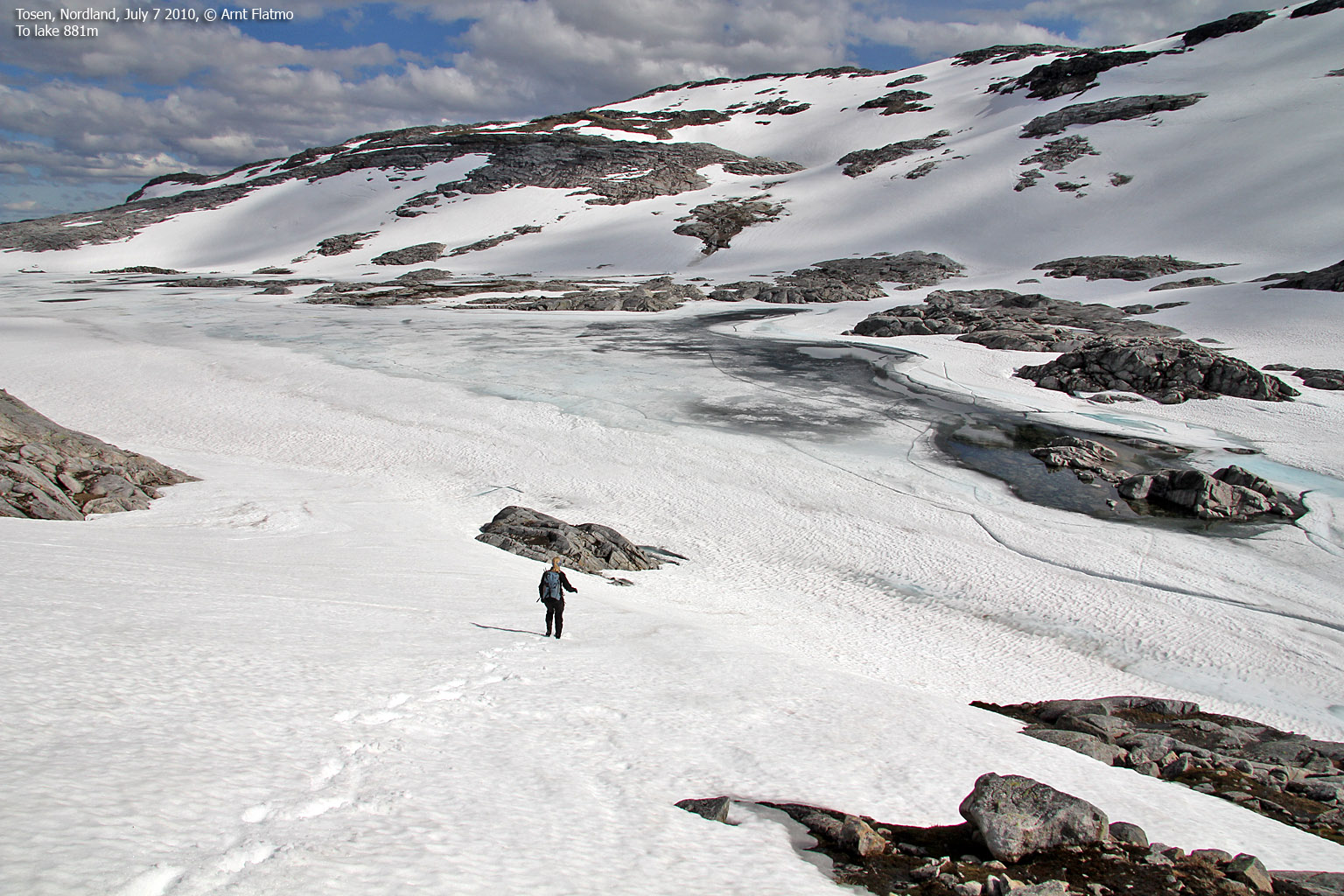
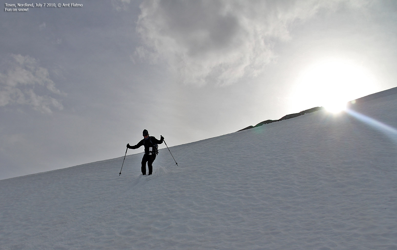
On top of Tsoevtsetjahke, the terrain changed dramatically. The blue fjord and green valleys were now substituted with naked mountains and snow all around. We enjoyed our second lunch for the day, with Kjelviktinden just across lake 881m. The temperature dropped suddenly and we had to put more clothes on. But when we reached the lake, we were almost dying from the heat. Much of the lake had surface water, but we could see at least 0,5 meters of ice below us. Welcome to Norwegian summer!

On lake 881m
(Click for larger image)
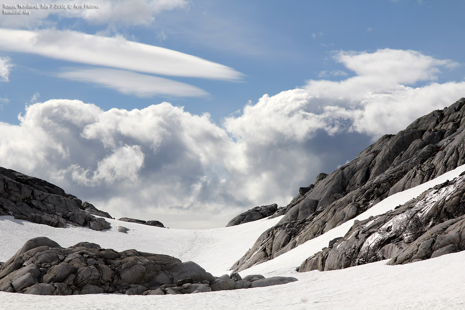
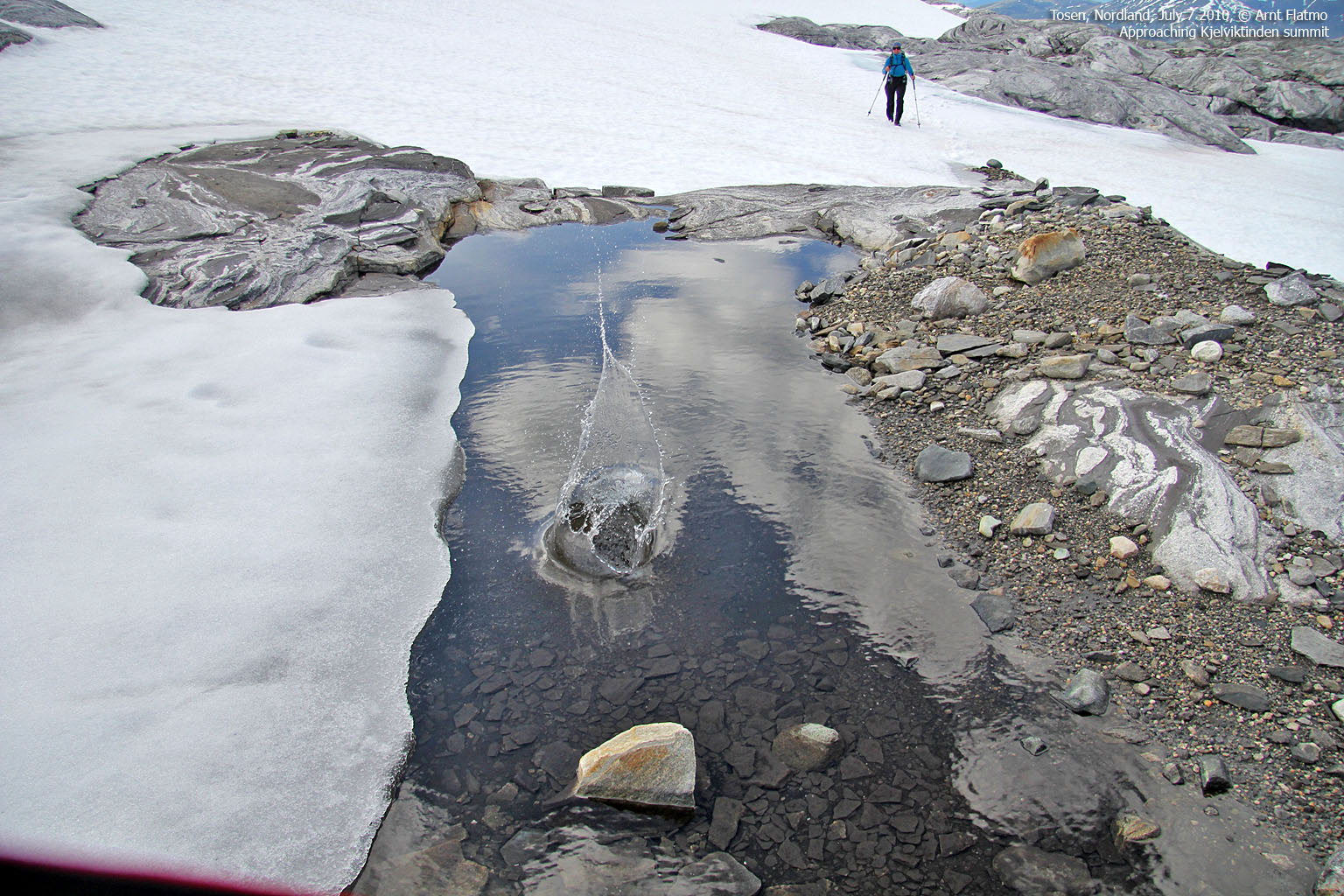
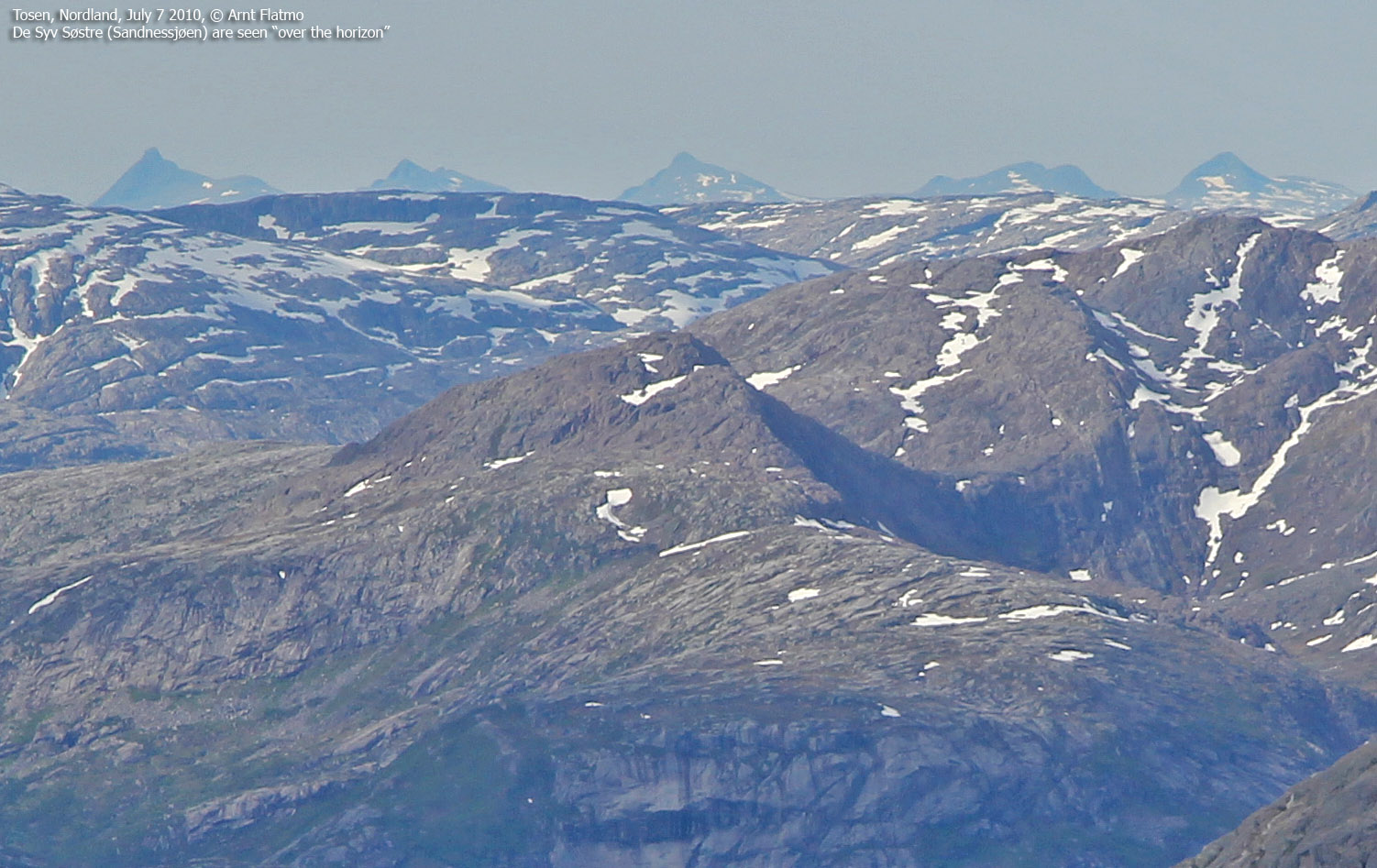
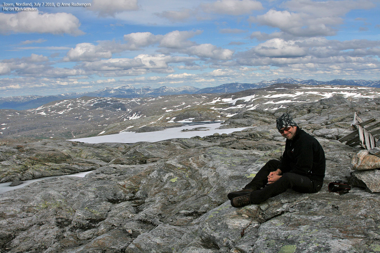
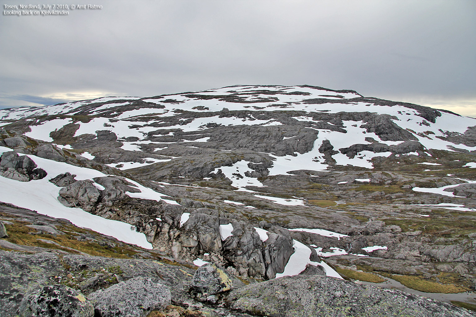
After an 1,4km snow plod up to Kjelviktinden, we arrived on the summit 4:45pm - 3h:50m after leaving Kjelvika. Bindal's highest mountain top was in the bag! But the best thing was that we were only half way to Tosentunnelen - our destination, and we were excited about what we had in store. Kjelviktinden was a chilly place, so we didn't stay long. But long enough to enjoy the 360 deg. panorama, which included De Syv Søstre, Børgefjell, Visttindan, Heilhornet and a heap of mountains that I couldn't identify.

On Tjelviktinden
(Click for larger image)
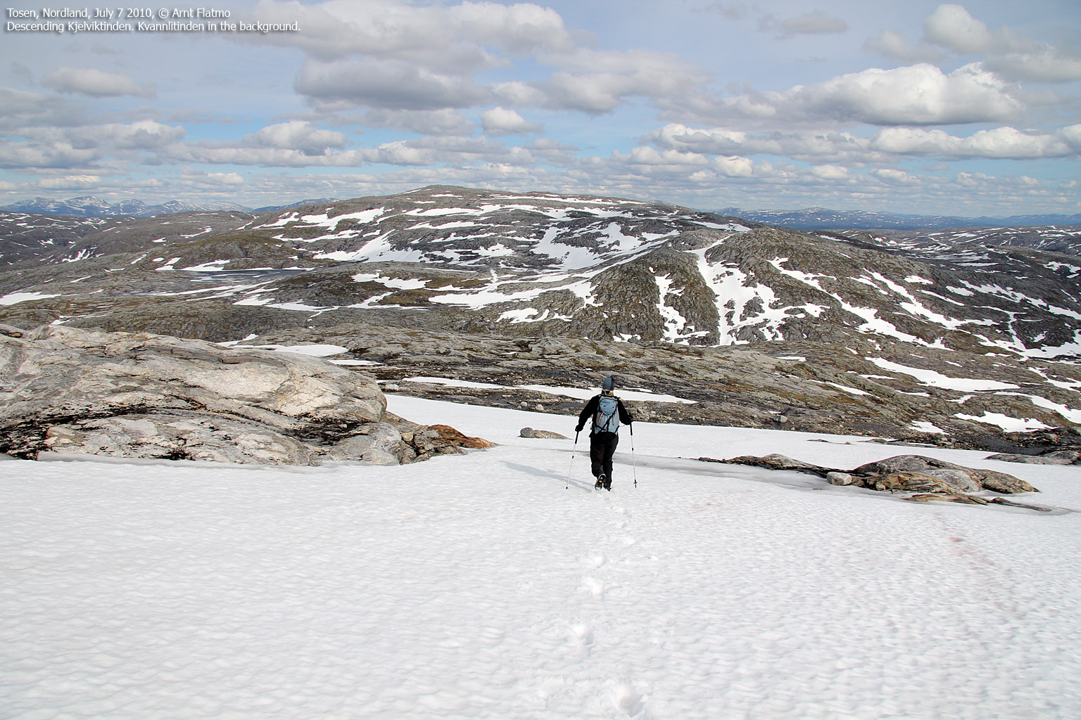
Thanks to the snow, the descent from Kjelviktinden to the east went quite fast. We aimed for the south side of lake 690m, and took advantage of some huge chunks of snow to get to a point which would lead us to the ridge above. But first, we had to cross yet another creek - just as cold as the others. Crossing the snow above the lake had its nerve. Especially for me, who didn't even have poles. A fall into the lake would have been spectacular, and I kept my camera ready when Anne crossed. Not that I hoped that she would fall (God forbid!), but if she did, I would certainly not want to miss the shot...

Along lake 690m
(Click for larger image)
Once on the ridge above, we started looking for a way down. While waiting for Trond at the tunnel, we talked to another man who urged us not to descend this ridge too early. A quick look towards the slabs below us explained why. We followed the ridge until we were confident that we could descend in a safe manner.
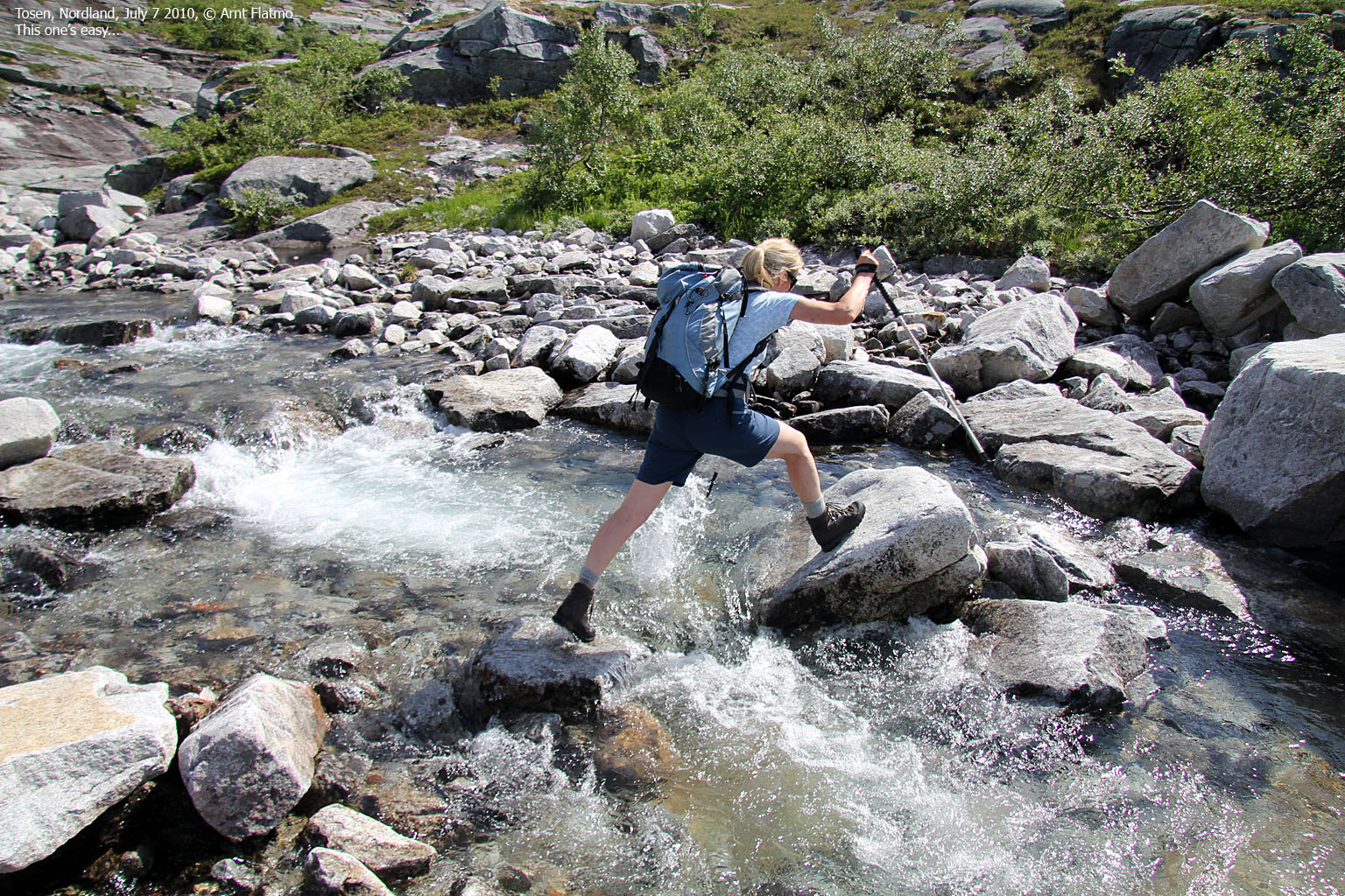
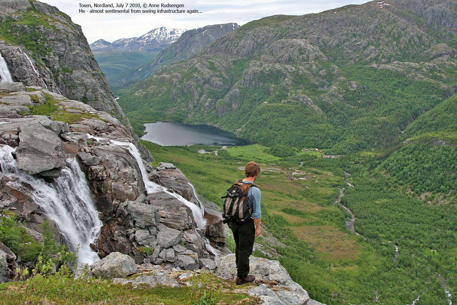
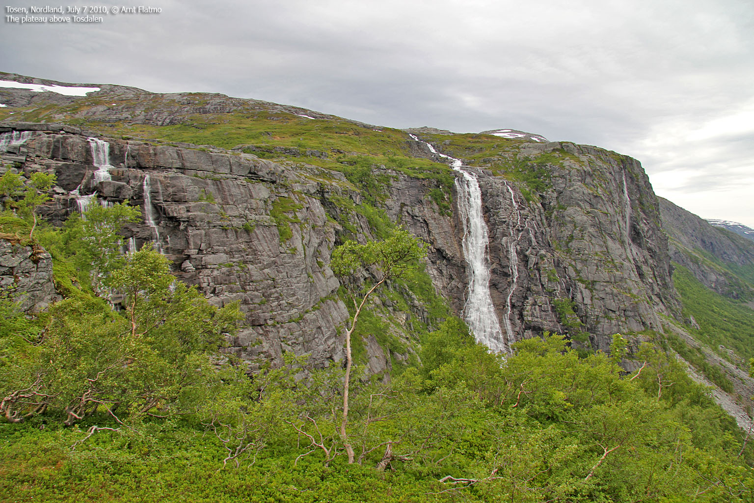
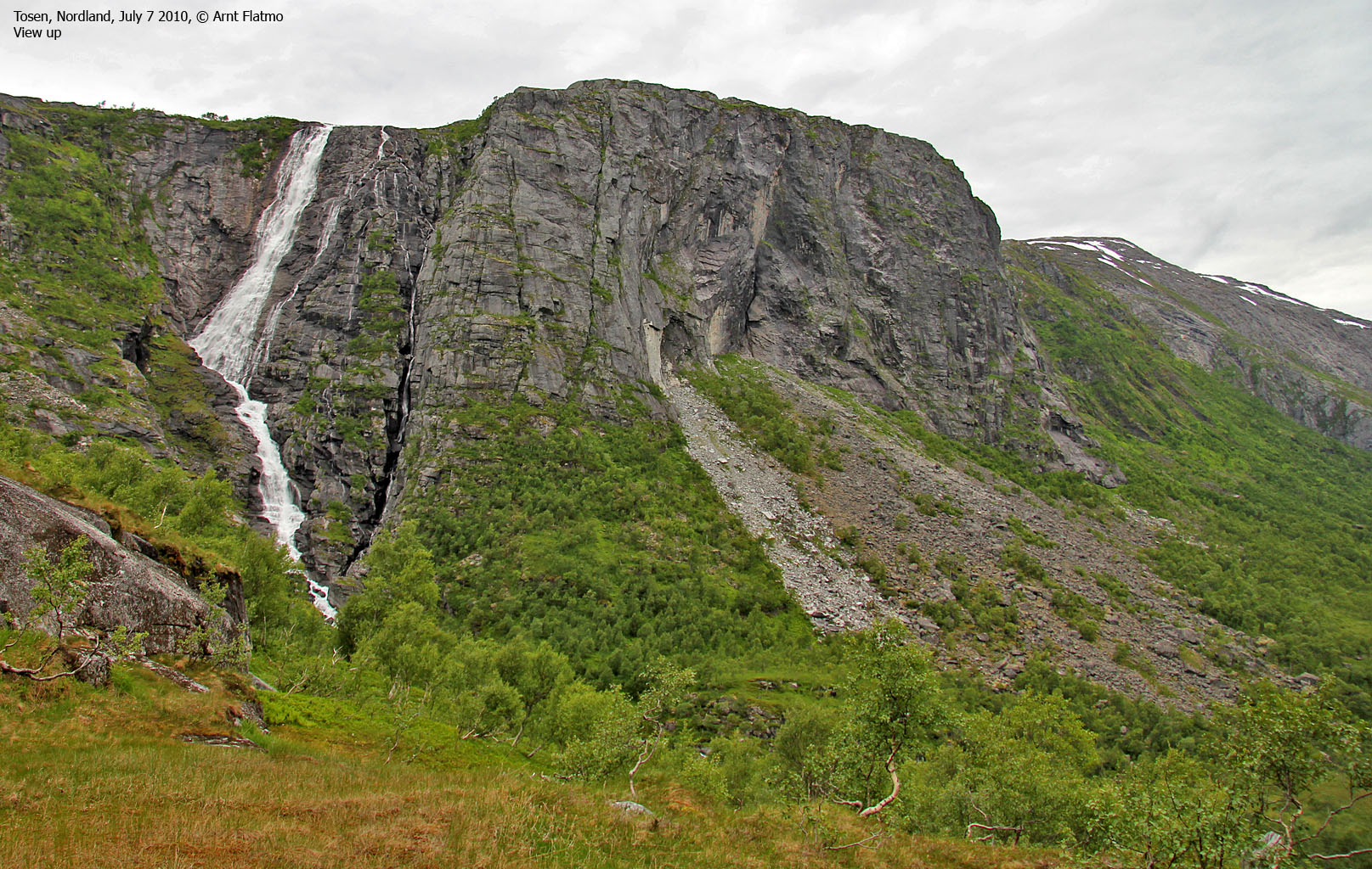
We were now west of Keilåtinden (555m), and we knew that we would have to follow the ridge from Keilåtinden into Tosdalen. But first, another creek (the fifth) had to be crossed. The view into Tosdalen was phenomenal, and the waterfalls contributed to give me a Jurassic Park feeling. We could see the highway in the distance, and it was a bit satisfying that there was actually an end to this hike.

Tosdalen
(Click for larger image)
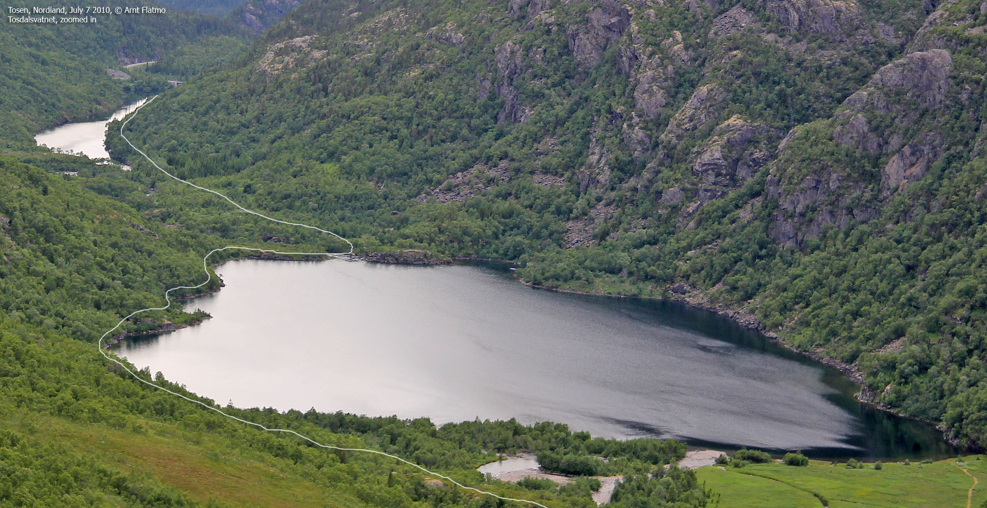
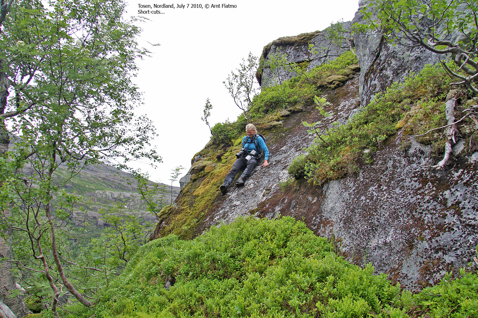
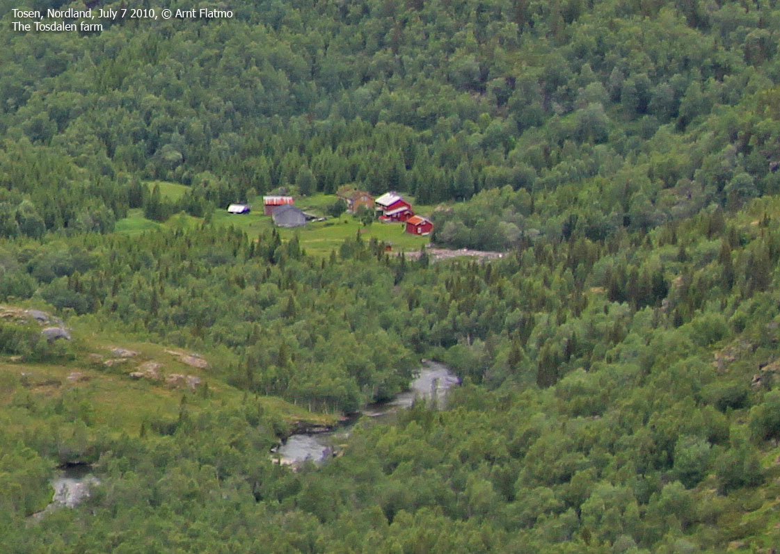
Descending from Keilåtinden was fun; we had to actively find the route down the number of ledges until we reached the valley. The man at the tunnel had told us to cross the main river immediately, then locate a path towards the Tosdalen farm, cross the river from Durmålstinden on a bridge, then cross the main river again and locate a path on the west side of Tosdalsvatnet. We didn't understand what this was good for, and decided not to cross the main river.
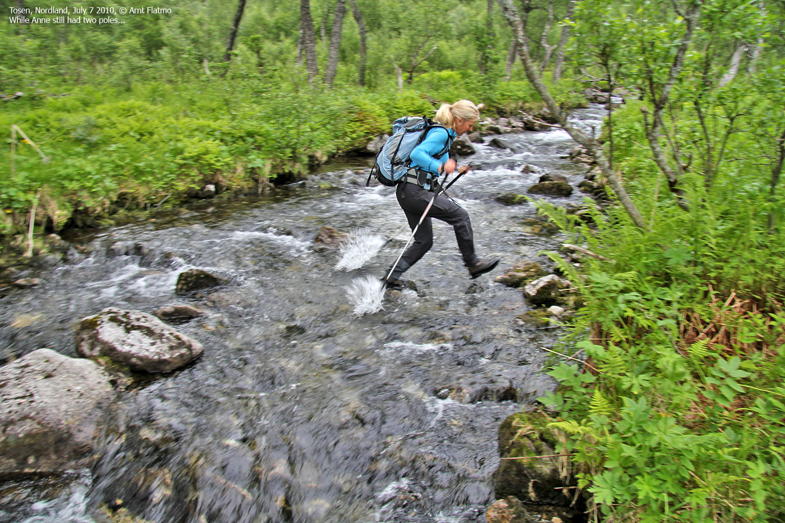
Instead, we had to cross 4 creeks (ranging from minor to major) coming from the waterfalls, and experienced our first mishap. I needed a pole while crossing the largest creek, and once I got across, I threw the pole back to Anne. Unfortunately, the pole had a steady course straight to her face, and coming fast as an axe, she had no other alternative than to protect herself. The pole landed in the river and was never to be seen again...

One pole down...
(Click for larger image)
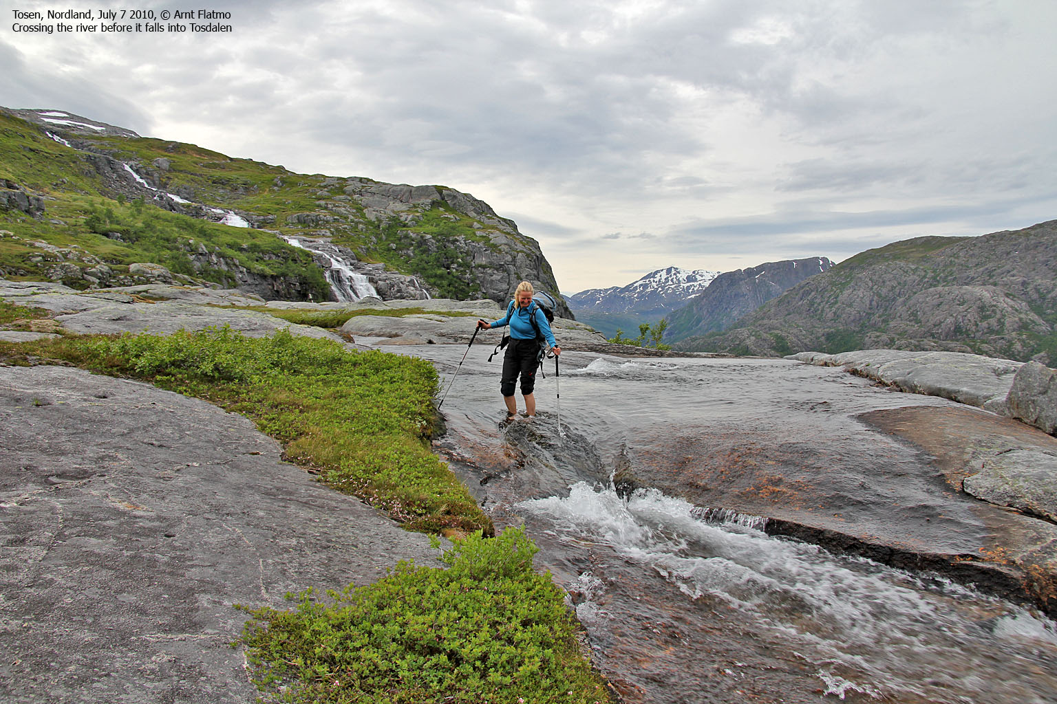
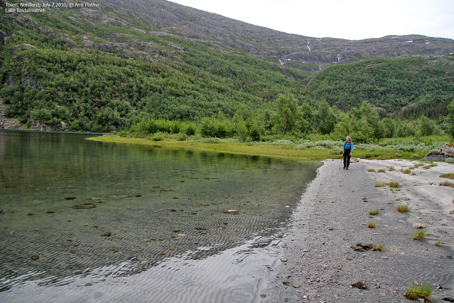
We continued towards Tosdalsvatnet while consuming our last chocolate bars. Approaching the lake, there was no sign of a path, and walking up and down small forest ridges in high grass was just unpleasant. But eventually, we stumbled across the path and had a fairly easy hike to the north side of the lake. We knew that we had the final river crossing ahead of us, and I felt a state of excitement and nervousness.
When we got to the river, the feeling of excitement quickly vanished. This was by far the most serious crossing so far, and we ended up with two different strategies. Anne decided to ford the river with her boots on, while I wanted to give it a try barefooted. I searched around for a stick, but could only find a thick log of wood. Well, that would have to do...
The first 3/4 of the crossing went just fine, but when I reached the point where the current was at its strongest, I had problems getting the log into the water. It didn't take long before my feet got pretty cold, and I was in a hurry to a) back out or b) quickly find a way to proceed.
Eventually, I managed to force the log into the water, and it got stuck between two rocks. I was then able to make my move, while leaning on the log. And seconds later, I was across. Anne's way was probably more comfortable, but on the expense of getting soaking wet. That said, she didn't look particularly happy, fighting the current in the middle of the river...

The final river crossing
(Click for larger image)
We reached Tosentunnelen (and the car) 9:10pm - 8h:15m after leaving Kjelvika, and almost after leaving Tosbotn. We had walked 19,4km with a vertical gain of 1250 meters. To me, all the elements in the hike added up to the epic category, and I will cherish the memories for many years to come. This hike was perhaps not about endurance and challenges, but it was all about water!

Me and running water
(Click for larger image)


")


