
|

Initially, I assumed that the name "Ospåsen" would translate to "Aspen hill" in English, but from what I have learned, it's the result of saying "Åsebøåsen" in dialect. The name of the hill refers to the small place Åsbø/Åsebø just east of the hill.
You will find a number of paths around in the forest, but it's only a 5-10 minute walk from Åsebø up to the high point. On top, you will find an antenna, but unfortunately no views. There is an opening in the forest just west of the high point, but the view is limited. The parking offers better than views than from within the forest.
Askøy island has no tops exceeding 300m elevation, but there are 4 hills that have a primary factor exceeding 100m; Kolbeinsvarden (231m - 231m), Ospåsen (170m elev. - 147m pf), Storåsen (190m elev. - 137m pf) and Folleseåsen (166m elev. - 116m pf).
Ospåsen (M711: 170m, Ø.K: Highest contour is 170m) has a primary factor of 147m towards the higher Storåsen (190m) The saddle is found between Lakes Heiavatnet and Båtavikvatnet. Ref. Økonomisk Kartverk (5m contours), you cross the 25m contours on the high routes, but not 20m. The saddle heights have been interpolated to 23m.
Notes: Class ratings are in reference to YDS. Click here for more information.
The trails described below are not necessarily the *easiest* trails to this mountain.
|
Åsebø - Ospåssen round trip (summer/autumn)
|
|
From Bergen, drive to Askøy (toll road). Once across the Askøy bridge (toll bridge), follow highway RV562 "Ravnanger". Once out of the Stongafjelltunnelen tunnel, drive 10,9Km on RV562 and turn left (no roadsign) when you see the "Ask" sign on your right. Follow the road upwards. Go right in the first junction and park at the next junction (without blocking for traffic). There is space for two cars. You see a rack of mailboxes in this junction.
Go left in the junction and follow the paved road to the uppermost house. The forest path begins here and forks after a couple of minutes. Go right. The antenna on top is only a few more minutes away. The high point is (probably) on the path that passes the building to your right. I had no urge to check the dense forest to the left for any higher point.
Continue southwest on the path and after 100m you see a bench. This is one of the few viewpoints in the forest. Turn right (north) and follow the main path back down to the highway. Go right in all forks. When you reach the highway, turn right and walk the remaining 820m back to the trailhead.
|
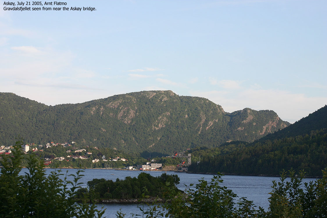
Trip notes July 21 2005Work demanded that I stayed in areas with cellphonce reception. This narrowed down the operating area, and I decided I could give Ospåsen a visit. From distance, it looked like a fairly big hill. Perhaps comparable to Storåsen. It wasn't. It took me 10 minutes up to the high point, and I felt a bit disappointed. 5 of these minutes were spent arguing with the dog, who decided that he shouldn't walk at all. I refused to carry him on this perfectly good forest path. I pushed him one meter. He turned around and showed me the remaining teeth. I pushed him another meter and this was repeated for 5 minutes. At last, he decided to walk. He was whining for the lunch-box when we reached the top. The nerve! I headed across the forest and figured I could do another Askøy hill. Instead I ended up driving up to Herdla. I had never been there before and took good time, taking pictures along the way. I didn't actually walk around in the nature preserve, but will allocate one evening to do so. It was nice driving up to Herdla. It was quite windy, as keeping the camera steady was a challenge. Some of the out-of-focus pictures will tell the story.
|
To Ospåsen


Cruising around on Askøy


No Javascript:
1 2 3 4 5 6 7 8 9 10 11 12 13 14 15 16 17 18 19 20 21 22 23 24
Other hordaland mountains
 Other Askøy K. mountains
westcoastpeaks.com
Other Askøy K. mountains
westcoastpeaks.com

