
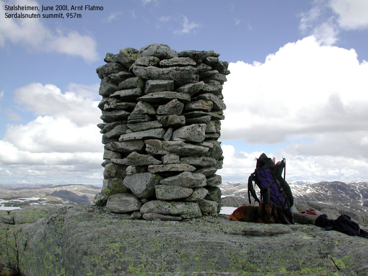
Sørdalsnuten, 957m
|
 Sordalsnuten seen from Instebotnsknolten |
Access:
On highway E39 (Bergen - Sognefjord), just before the highway rises up to the top of
Romarheimdalen valley (coming from Bergen), exit towards Dyrkollebotn.
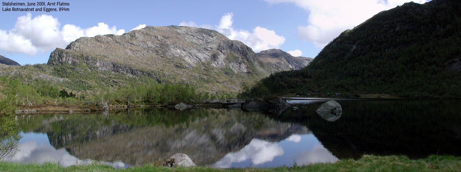
Follow the road until you get to lake Botnavatnet, then follow the gravel road as far
as you get. There is room for a couple of cars there.
The trail:
|
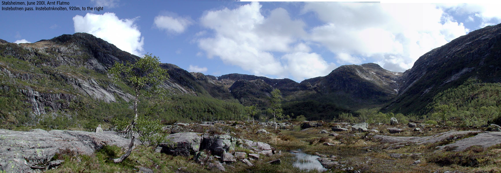
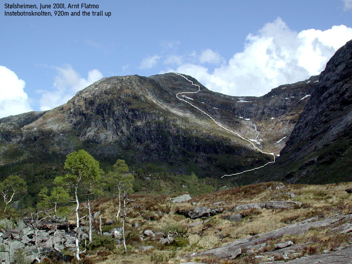
A "T" marked trail runs up the waterfall, on the right-hand side. Above the waterfall, the trail runs on the right side of lake Fossvatnet (Langeneset). Soon you will have lake Instebotnsvatnet on your right side. The "normal" approach would be to follow the "T" marked trail all the way to lake Heimsta Sørdalsvatnet, before you head south over Instebotnsknolten (920m), but for the impatient, a shortcut can be found (thanks to the guys at University of Bergen who are chasing highest points in all Hordaland kommuner). When you have passed lake Instebotnsvatnet on your right, and you have a ridge on your right side, cross this ridge as far north as convenient, and head for the river coming down from Gavlen. It may look a little dangerous, but if your are used to mountains, it's not. Follow the river around a bend, and when you see a "road" of rocks going up to the left, follow this. A grass corridor can be found on right side of the rock "road". At the top, turn right just below Instebotnsknolten, and ascend this mountain either at once, or from the other side. (I climbed up in the middle, at the steepest part. No problem there either). From here, you have Sørdalsnuten summit in clear view. Head down from Instebotnsknolten on the east side, and cross over a ridge before you descend to lake Ljosavatnet. There is a crossing section which takes you over to the foothills of Sørdalsnuten. Hike southeast and you will head directly to the summit. |

|
Notes:
This is a tough hike. Steep while climbing up along the river and up to Gavlen.
It took me 2,5 hours up and 2 hours down. You should plan for more.
Lots of water supplies. Be a little careful in the very beginning while climbing down
Gavlen. It's easy to slip on the grass before you reach the rocks. If you fall, you
will slide a few meters, but you could get injured (I say, looking at the blue marks
on my lower arm).
The sheep were obnoxious. Down in Instebotnen valley, twentysome sheep set after me (or was it the dog), screaming like crazy. And I get fined if the dog is not on leash?
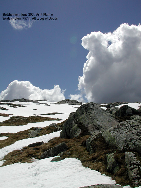
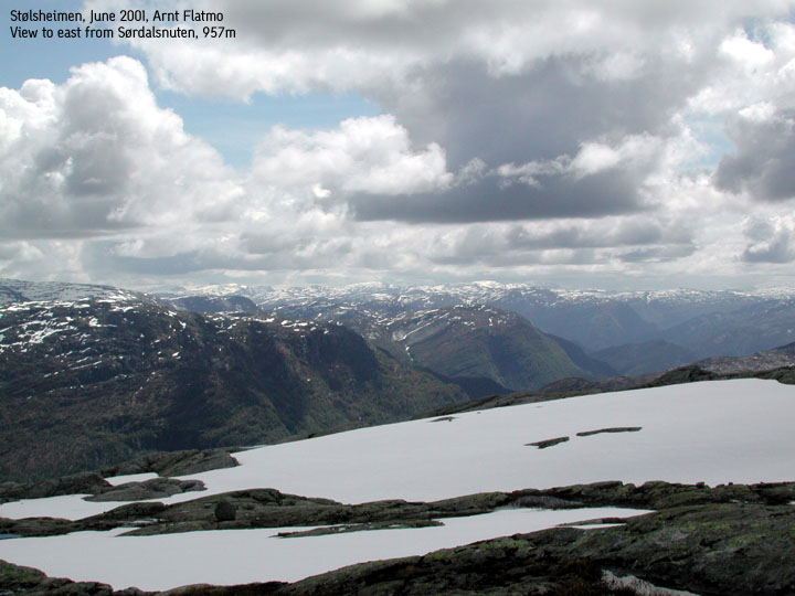
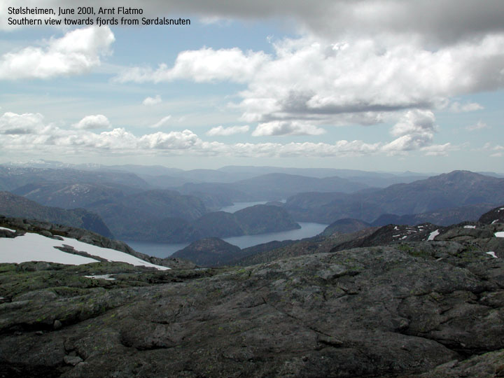
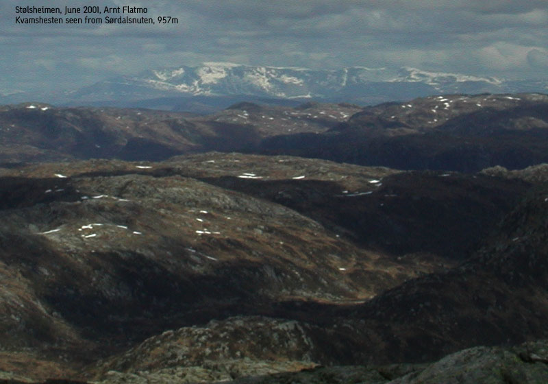
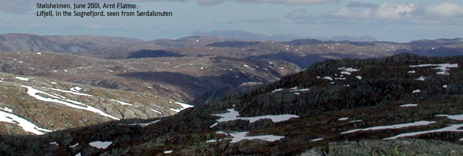
Oh, great views, of course. You see Lifjell by the Sognefjord, a good view of Kvitanosi, highest in Stølsheimen at 1433m, and even Kvamshesten on the north side of the Sognefjord.
Pictures: (move cursor to read notes, and click on the images to see full version)


Other trail descriptions for this region: