
Norwegian Mountains, Møre og Romsdal
|
| Fylke/Kommune : | Møre og Romsdal/Stranda | ||||||||||
| Maps : | 1219-II Geiranger (Statens Kartverk, Norge 1:50 000) | ||||||||||
| Primary factor : | 379m | ||||||||||
| Hiked : | July 2009 | ||||||||||
| See also : |
| ||||||||||
| See also : | Other Stranda mountains |

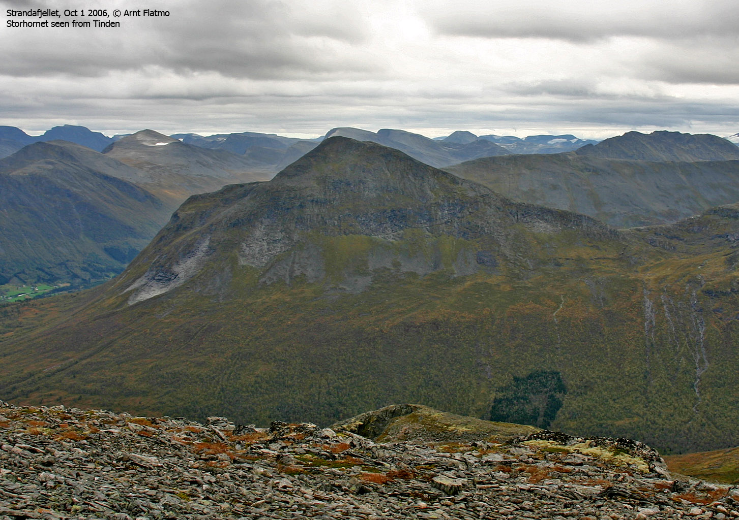
Storhornet (The big horn) is one of the peaks that surround the Strandadalen valley, and is in general considered to be an easy top. The most popular routes run from Habostadsætra in Habostaddalen and Mesætra in Strandadalen (this is the route described on this page). There is also a path from Svefonna at the entrance of Habostaddalen.
Storhornet is the northeast top on a mountain ridge that stretch between Strandadalen and Norangsdalen. This ridge also includes Leirvasshornet and Smørskredtindane. A traverse of this ridge falls into the category of advanced mountaineering.

Storhornet (Norge 1:50,000: 1309m, Økonomisk Kartverk (ØK): 1309m, UTM 32 V 387746 6903014) has a primary factor of 379m towards the higher parent mountain Leirvasshornet (1531m). The defining saddle (approx. UTM 32 V 386856 6902314) is found in Samfunnskaret between the two tops. Ref. 1:50,000 map (20m contours), the saddle is within the range 920-940m, interpolated to 930m.
GPS measurement read 1314m (on the ground) averaged over a 10-minute period. Error margin +/- 0,9m.
Google's interactive map. You can zoom, pan and click on the markers.
|
|
|
Notes: Class ratings are in reference to YDS. Click here for more information.
The trails described below are not necessarily the *easiest* trails to this mountain.
|
Route 1: Mesætra - Storhornet (summer/autumn)
|
|
This route description is valid per July 2009
Access
(all distances are approx. distances)
Ålesund is the nearest larger city. From Ålesund, follow highway E39 towards Bergen, and then highway RV60 (Stranda) to the Magerholm - Ørsneset ferry. This ferry runs quite often; every 20 minutes in the busy hours of the day. From Ørsneset, follow RV60 (Stranda) approx. 35Km to Stranda. Turn right and follow highway RV60 southbound approx. 7,2Km (to Habostad - not signed) and turn right onto an unsigned gravel road. Note that there is a second exit 1,4km further south on RV60.
After 900m, pay toll at an unmanned toll booth (NOK 30,- per July 2008). Follow the gravel road up Strandamoldskreddalen all the way to the Storhornet signpost just in front of Mesætra (5,1Km from RV60). Park here.
The route

Cross the river on a bridge, then head along the river 175m before you turn north and pass a signpost (80m away from the river). From here, follow a vague path up the forest. At approx. 760m, the path fades and you're now in open terrain. Continue up to Samfunnskaret pass, turn right and continue (partly on a path and partly on boulder) up to Storhornet summit - marked by a proper cairn.

 westcoastpeaks.com
 Other Møre & Romsdal mountains
 Other Norwegian mountains