
Norwegian Mountains, Møre og Romsdal
Syltehornet round trip, Dec 12 2009
To the main Syltehornet page (maps, route descriptions, other trip reports, etc.)

The round trip route
(Click for larger image)
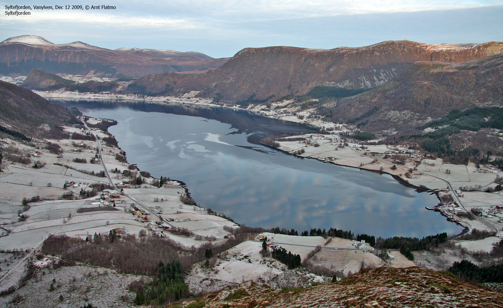
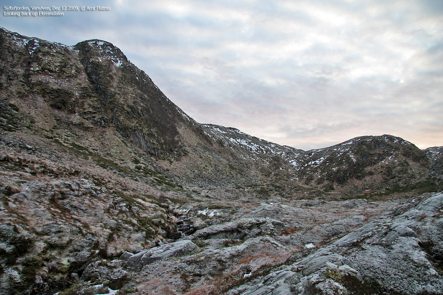
It had been clear to me for quite some time - that a hike to Syltehornet had to follow the steep ridge on the west side of Merkingselva. And the reason was that I simply had to find out exactly how steep this ridge was. It wasn't easy to tell, seen from the road. The plan was never to hike this route in December, but since there was hardly any snow below 600 meters - why not? This December morning was a beautiful one, but the clouds moved in during the day.

Morning sky
(Click for larger image)
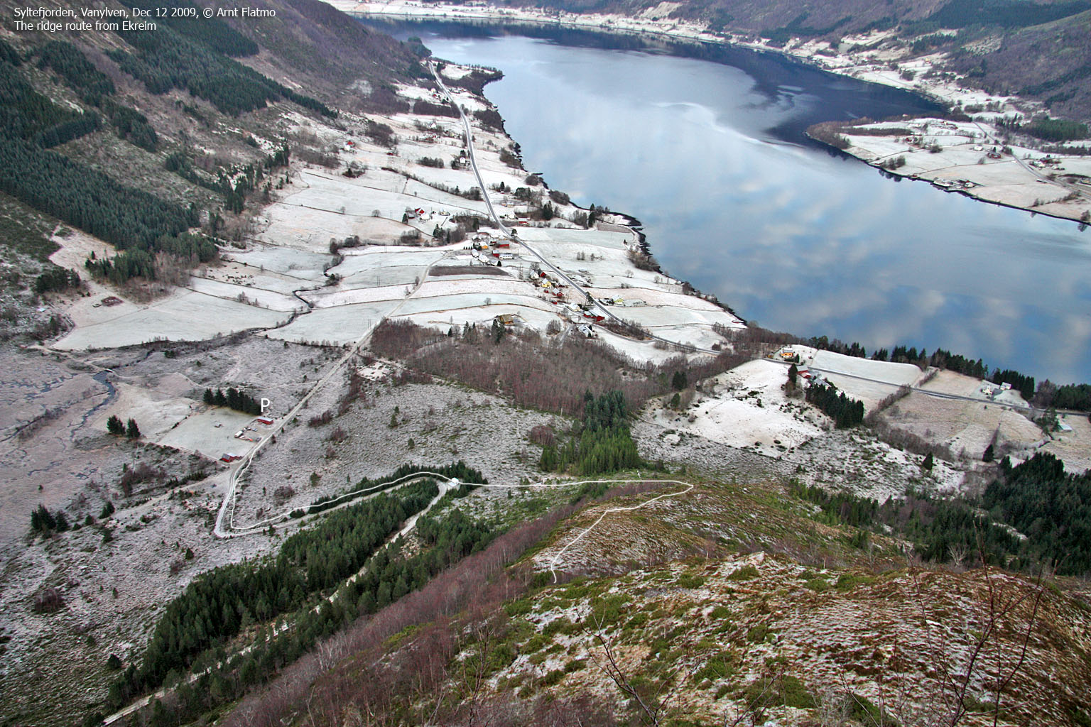
I left my trailhead near Ekreim 11:25am and followed the forest road for a little while before going off-trail up the ridge. In the steepest section, I had some "issues" with the frozen ground, but my good old ice-axe came to good use. My original plan had been to descend the same way, but I wasn't so sure any longer...

Heading up the ridge
(Click for larger image)
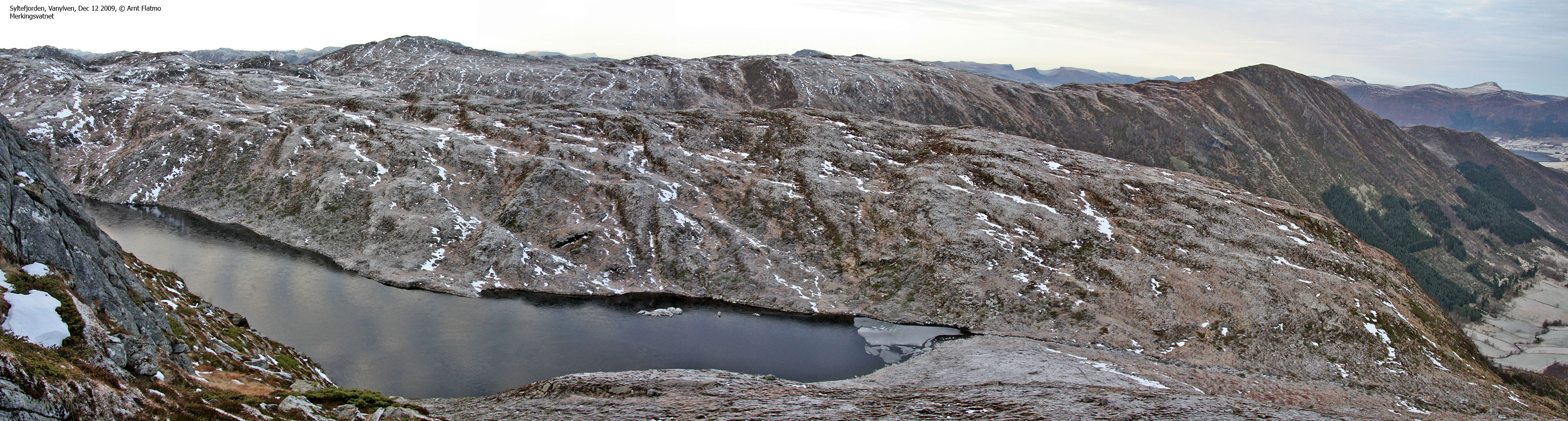
The hike up to Syltehornet was quite uneventful; I crossed Merkingselva, and found a good route directly up to the top. I arrived on the windy summit 12:42pm - 1h:17m after heading out. The top was not marked in any way, so I decided to at least leave one tiny cairn behind.
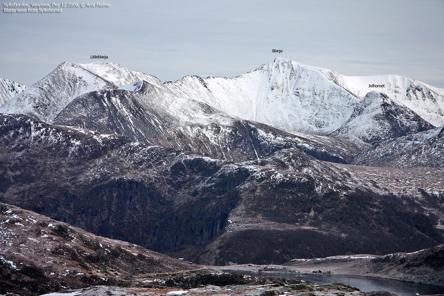
At this point, I had decided to descend via Ekreimdalen, and I started walking to the southwest. I stopped by another top 650 meters south of Syltehornet, just to make sure it was lower. My GPS read 636m - 2 meters lower than the reading on Syltehornet. I kept on heading southwest until I got to a nice viewpoint above Almklovdalen. Probably because of the quarry, this isn't exactly the most beautiful valley I know of...

Almklovdalen
(Click for larger image)
I continued to the west and found a convenient route into Ekreimdalen. I had hoped to find a path along the river, but I didn't at first. At 260 meters, I found the path, and I must have been walking pretty close to it down the valley. The path led me to a river crossing, and I found the end of the forest road on the other side. I caught up with two women who must have found it strange to suddenly have a stranger (equipped with an ice-axe) on their tail.
I returned to the trailhead 2:15pm - 2h:50m after leaving. It was a nice hike, and even Syltehornet isn't the most eye-catching mountain around, I was quite happy about having been there. I drove back home in the sunset, and could enjoy Syvdsalpane dressed in red...

Syvdsalpane
(Click for larger image)


