
For Information, maps, trailhead and route descriptions, click HERE.

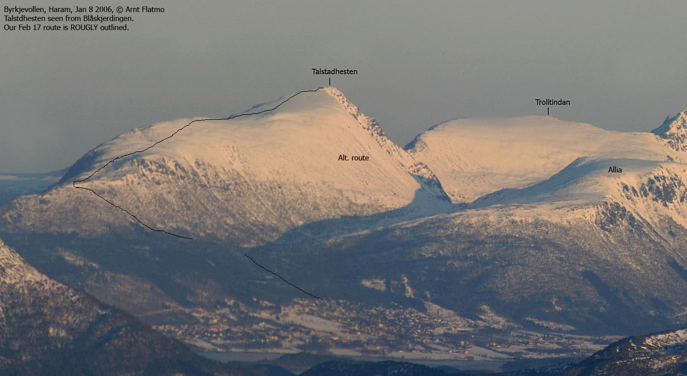
My friend Petter from Bergen came visiting this week-end. As the weather forecast wasn't particularly good, we decided to go for Talstadhesten (913m) and Snøtinden (1027m). It was certainly not because the views from the these tops were bad (on the contrary), but the elevation was more suited in case of poor weather. At least compared to other pending tops on his Møre og Romsdal to-do list.
After concluding that my (small) new car easily could support two blokes carrying full winter-gear, including skis, we left Ålesund Saturday morning and took the 08:45AM ferry from Vestnes to Molde. We followed RV64 northbound, and since our wallets were in the trunk (and the skis preventing the trunk to be opened), we had to take the old road around Tussen. We continued to Elnesvågen, and turned on the road to Hauglia. After a small search, we found the Haukåssetra trailhead.
Ascent
It was raining, although not much, and the mountains were fogged in above 650m. There was no particular wind, so the conditions were not too bad. We left the trailhead 11:15AM and reached Haukåssetra 15 minutes later. The question was now - which way?. We agreed to follow the "T" marked route northbound, although skiing terrain and this forest were certainly not compatible. Oh well, if problems - then skis off.
We lost the "T" route at 300m elevation, and decided to follow the terrain where it made sense. Some calories were left behind in this forest, but skiing never became really difficult. Just steep and awkward. We managed to ski all the way up to the ridge, topping out at approx. 530m elvation. From here on, the rest would be easy.
We stayed on the south side of the ridge, where there was still a tiny amount of snow left. We passed a couple of cairns at approx. 760m elevation before the terrain leveled out for a short while. By now, visibility was almost zero, yet we could distinguish between snow and the valley down to our right. It was however hard to distinguish between the fog and the cornices to our left, so we had to seek south to be on safe ground.
We reached the top of Talstadhesten 13:30PM. There was a slight breeze, but I never bothered to put on my jacket. Since the cairn was the only thing we could take picture of, the summit stay was short. We had talked about descending to the Talstadhesten - Allia saddle, but when Petter discovered (during ascent) that his crampons were missing from the backpack, the descent route was given. We didn't have ANY sort of map that would guide us down in the fog, so following our tracks back down the ridge, was probably the smartest choice.
Descent
With my 160cm skis, I could ski down the steep forest, without having to stop for turns. Petter, with 200cm skis, had to. The crampons were found along the route, and I guess that Petter made a mental note about securing items to the backpack. I had a *great* time down this forest, and was sort of sad when we reached the trailhead 14:50PM. That said, I would certainly not encourage people to ski this route, but merely state that it is possible.
We drove back to Molde and checked into Comfort Hotel, which did provide comfort as promised. And after a very NICE dinner at Vertshuset, it was time to focus on the trip to Snøtinden the following day.
Petter's trip report can be found here
Ascent


Descent


No Javascript:
 westcoastpeaks.com
Other Møre & Romsdal mountains
Other Norwegian mountains
westcoastpeaks.com
Other Møre & Romsdal mountains
Other Norwegian mountains