
This route is described as route 8 on the Uksenøya main page.
The plan didn't work out this Saturday. The plan was to climb Tverrbotshornet in Haram, and this would be more a hike than a ski-trip, so I left the skis back home. As I passed Spjelkavik, the snow hit the car window just like hail (making noise!) and the wind seemed horrendous. The flags weren't swaying in the wind, they stood still. Flat out.
The wind problem could be solved by seeking further in the country, but then I would need skis. Now that I was well on my way, I didn't want to turn around. The solution to the problem was to go to Haugtua, which I was a bit impatient to visit. It was the only top on Uksenøya that I hadn't visited yet. Besides, how pleasant would the higher mountains be on such a day? Waves of snow came and went, and if driving conditions became further difficult, I wouldn't enjoy driving. I made peace with myself and told me it wouldn't be *wasting* a Saturday by hiking a forest hill.
On the map, I saw a tempting forest road from Glomset, which meant I had to get to the other side of the island. Once there, I asked a elder man about a good route upwards, and without a second's hesitation, he explained a route in detail, without pausing. I was so overwhelmed that I had to ask if he could go through the route one more time.
The dog and I were on our way 10:30AM. The dog caused my heart to skip a beat or two when he seemed willing to walk. This paradise moment lasted until we reached a forest road junction and we were supposed to turn right. The dog insisted on following the main road, and eventually, I had to put him in the backpack. At road end, I didn't find "the opening in the forest" that the man had talked about. Above me was a pretty dense and rugged forest, and a cut forest (but with plenty of juniper) further ahead. I hate juniper and chose the dense and rugged forest, which only lasted for 5 minutes. 11:30AM, we were standing on top of Haugtua, with absolutely nothing to look at, except for the summit point.
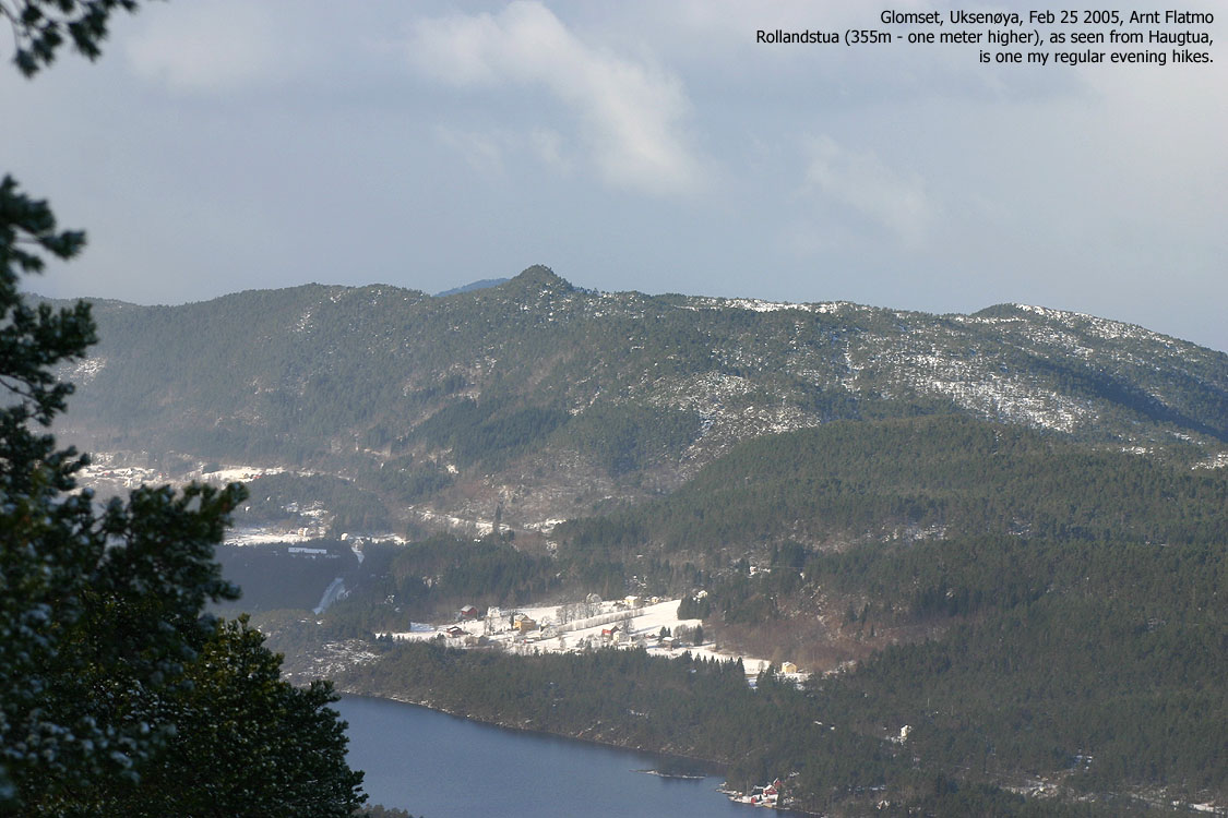
All of the sudden, the clouds began to break up, and after 10 minutes, it was a gorgeous day up there. I felt for extending the hike, and when I saw tracks down the east ridge, I decided to see where they went. Troll - the "downhill dog" seemed happy to be back on the ground and followed willingly. I met a couple on the way up, and I learned that they came from the north side of the island. I followed their tracks until I reached a forest road. I turned right and made my way through the forest and back to Glomset. We were back at the car 12:50PM, just as another snowfall set in. I had briefly considered to drive to Sjøholt and hike Verahornet (518m), but dropped this idea now. I drove home and practiced bouldering in my back-yard instead.
Note: Year on pictures is wrong (2005). It should read 2006.
To Haugtua


Pictures from the top


No Javascript:
1 2 3 4 5 6 7 8 9 10 11 12 13 14 15 16 17 18 19 20 21 22 23
 westcoastpeaks.com
Other Møre & Romsdal mountains
Other Norwegian mountains
westcoastpeaks.com
Other Møre & Romsdal mountains
Other Norwegian mountains