
|

Vikenakken, one of the very lowest tops in Vestnes kommune (municipality) is Helsetnakken's close neighbour where Tresfjorden and Romsdalsfjorden meet.
There are several routes to the top, but by far the easiest route runs from Vikesetra. Most people also ascend Helsetnakken from here. You have good view towards the Molde mountains across Romsdalsfjorden, and the hike only takes half an hour.


Vikeakken (Norge 1:50,000: 530m, Økonomisk Kartverk: 529,57m, UTM 32 V 407166 6943048) has a primary factor of 92m, towards the higher parent mountain Helsetnakken (674m). The saddle (approx. UTM 32 V 407618 6941659) is found in Hjelvikskaret between Ellingholnakken and Nonshaugen. Ref. Økonomisk Kartverk (5m contours), the saddle height is within the range 435-440m, interpolated to 438m.
Google's interactive map. You can zoom, pan and click on the markers.
Notes: Class ratings are in reference to YDS. Click here for more information.
The trails described below are not necessarily the *easiest* trails to this mountain.
|
Vikesetra - Vikenakken (summer/autumn)
|
|
Access
(all distances are approx. distances)
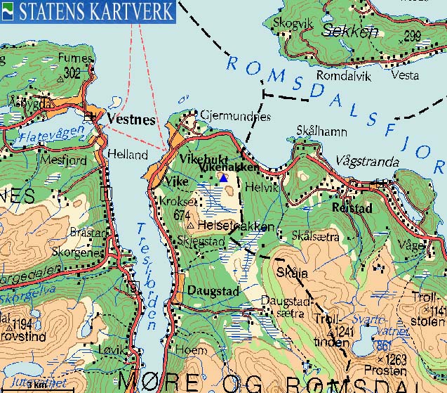
From Ålesund, follow highway E136->E39 eastbound towards Åndalsnes. You pass the village of Sjøholt, drive across Ørskogfjellet, down Skorgedalen valley to the Molde/Åndalsnes junction just before you reach Tresfjorden. Turn right towards Åndalsnes, and drive 19Km, passing the village of Tresfjord along the way.
Turn right by the Vikesetra sign (the church is to your left). Turn immediately right again, drive 100m and then turn left (signed). Drive 2,4Km up to the Vikesetra parking.
The route
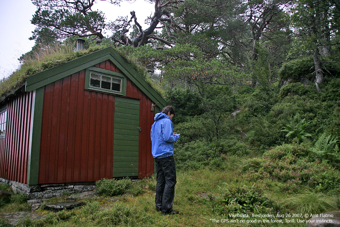
Head up to the Vikesetra cabins. Proceed 400m (southeast) to a signed path fork. Turn left, the other path heads towards Helsetnakken.
Follow the path northeast 100m up to another cabin with a nice place to rest just in front.
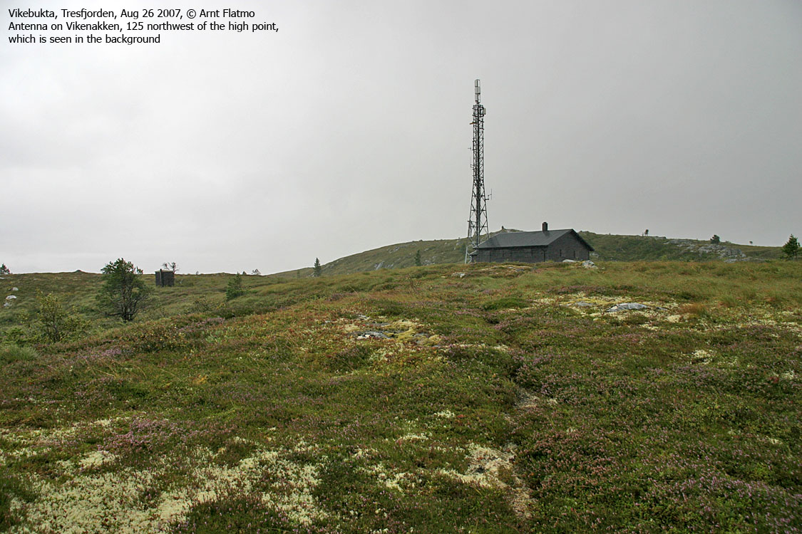
Proceed northeast towards Vikenakken's northwest ridge. The path gets gradually more vague, but the direction should be obvious. You'll pass an antenna and a building before you reach the high point just beyond. The high point is marked by a cairn and a trigonometric point.
 westcoastpeaks.com
Other Møre & Romsdal mountains
Other Norwegian mountains
westcoastpeaks.com
Other Møre & Romsdal mountains
Other Norwegian mountains

