
Norwegian Mountains, Møre og Romsdal
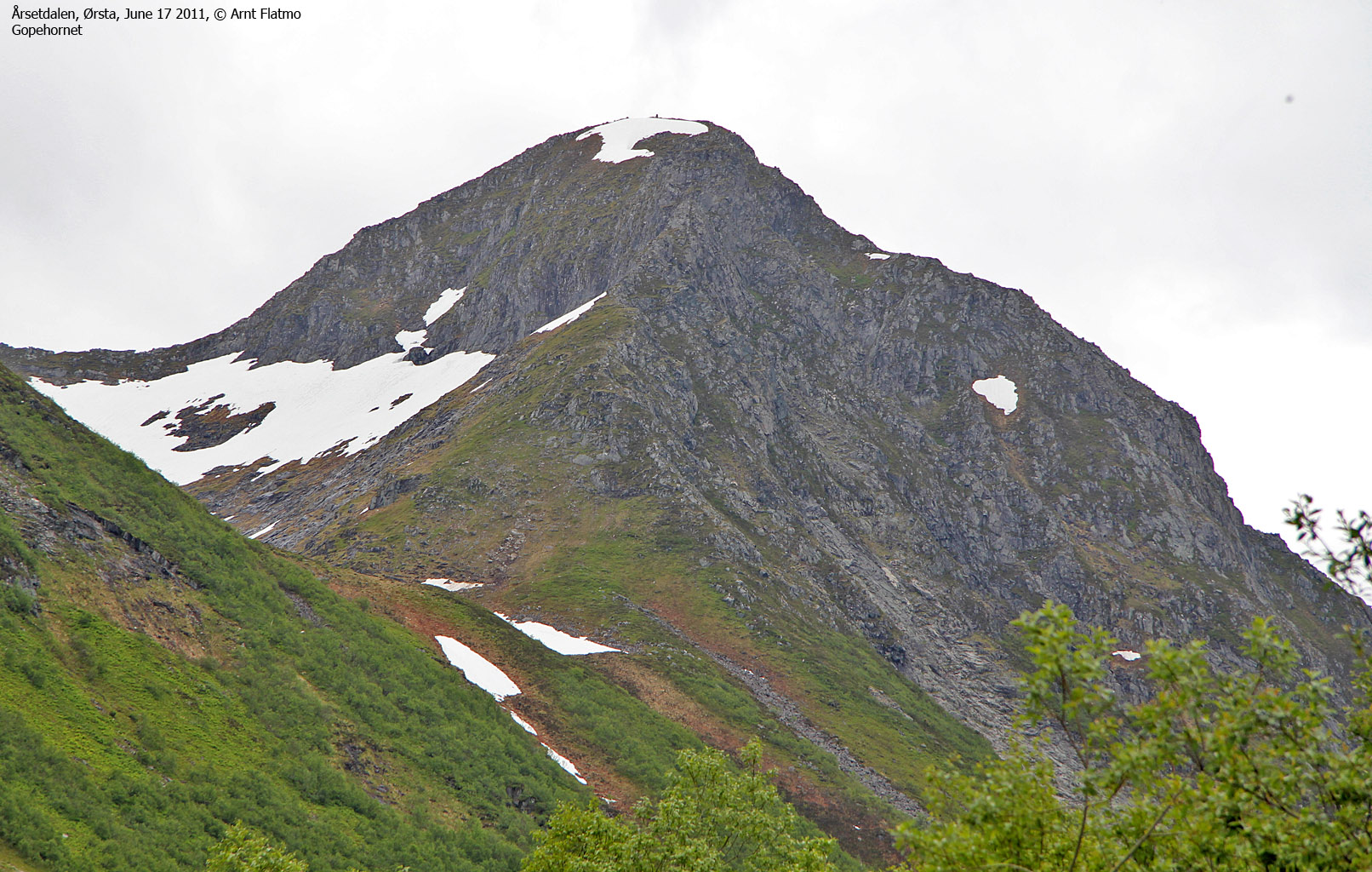
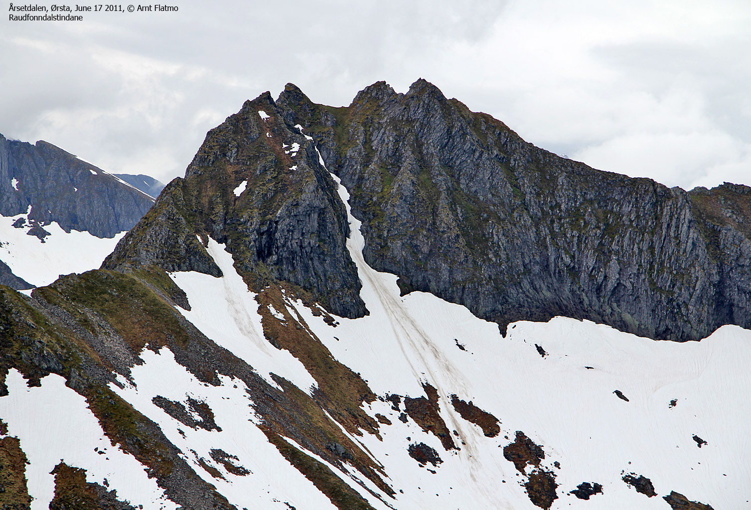
Litle Gophornet (781m) and Gopehornet (998m) from Årsetdalen, June 17 2011
To the main Åvasstinden/Gopehornet page (maps, route descriptions, other trip reports, etc.)
")
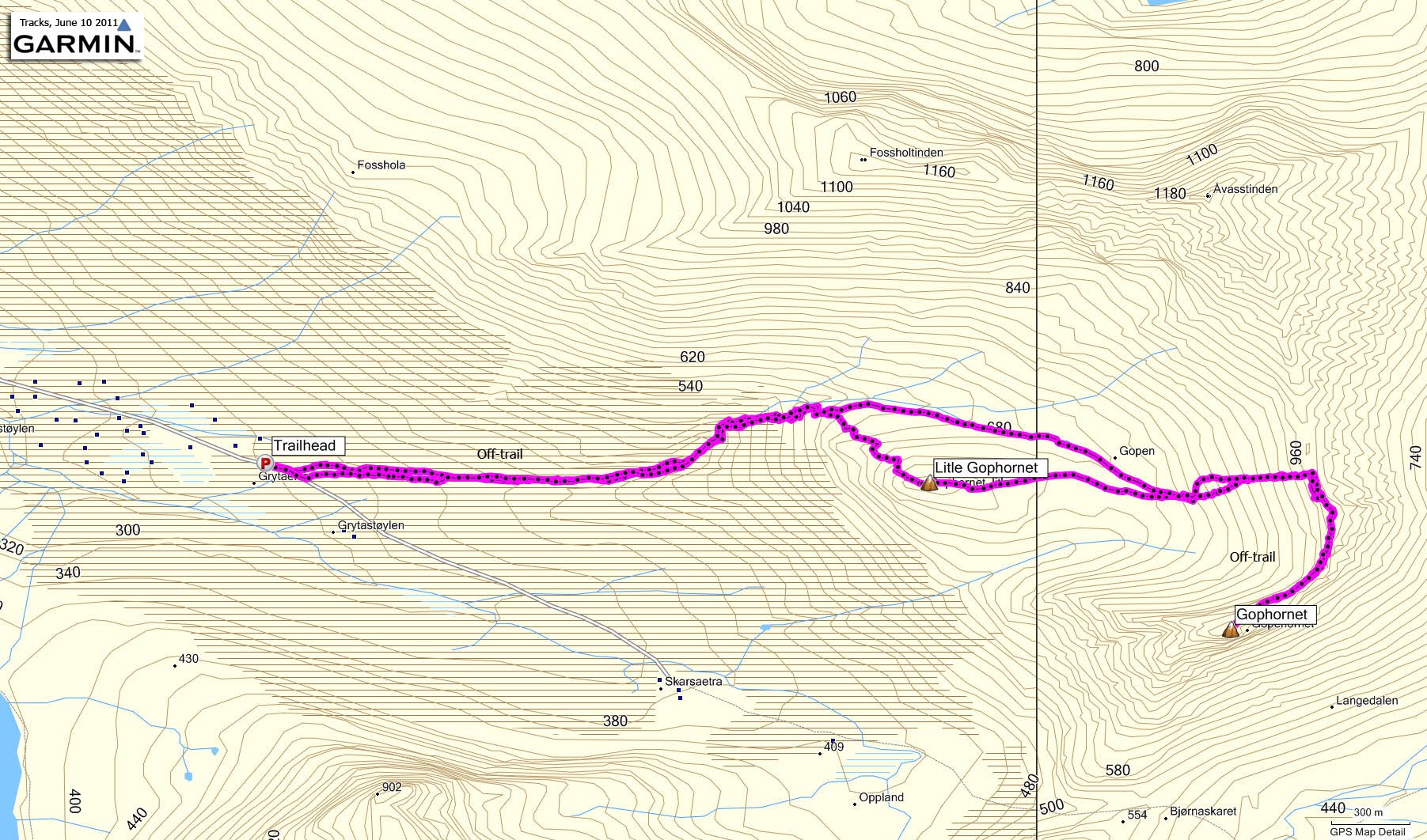
The route to Gopehornet (hiked in summer)
(Click for larger image)
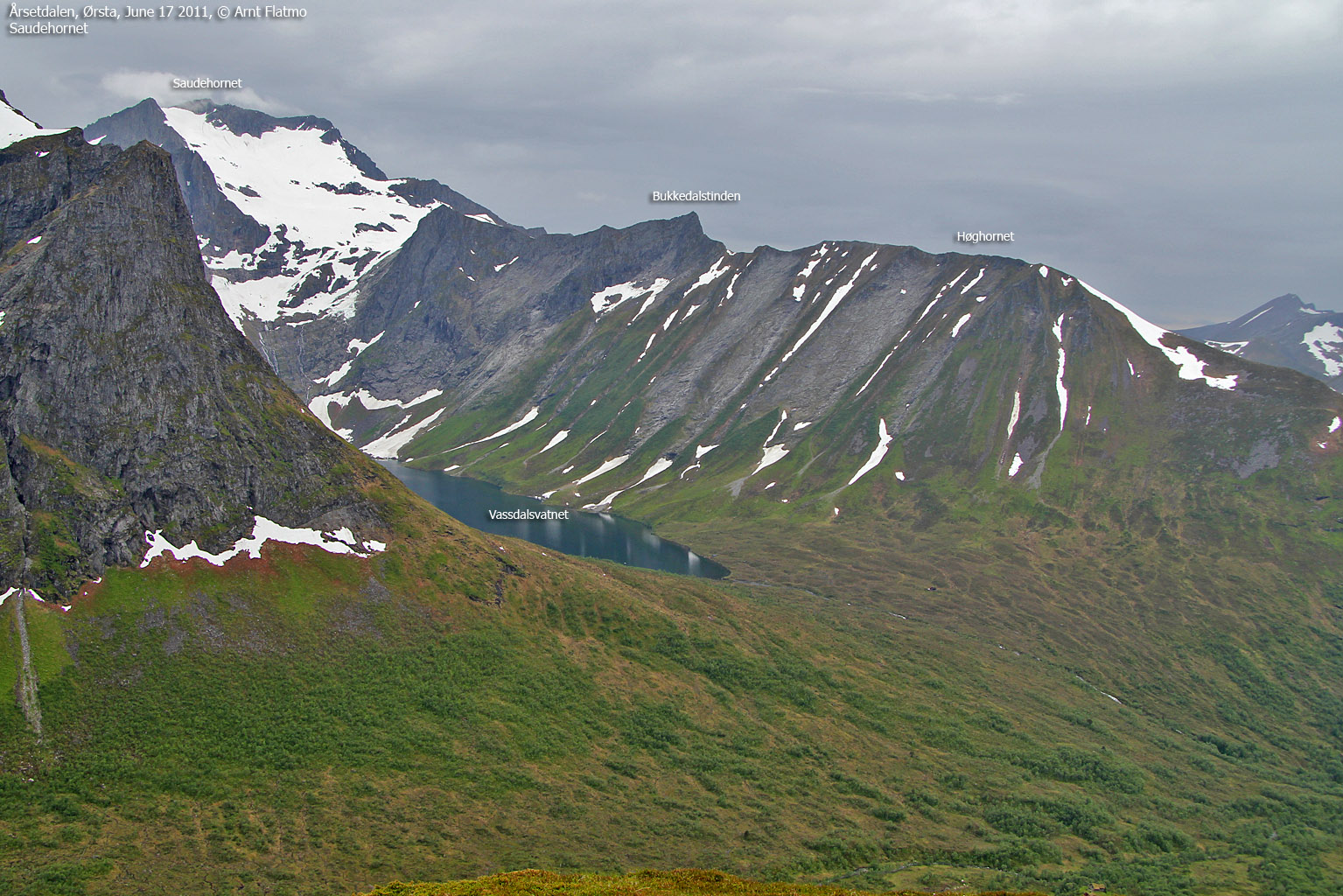
Gopehornet was a peak that I had wanted to visit for a while, but I had absolutely no information about any kind of route. The only thing to do was to have a look for myself and I decided to do so on a Friday afternoon in the midst of June. My target was the west ridge. Based on what I could see on pictures, it looked steep and it scared me...
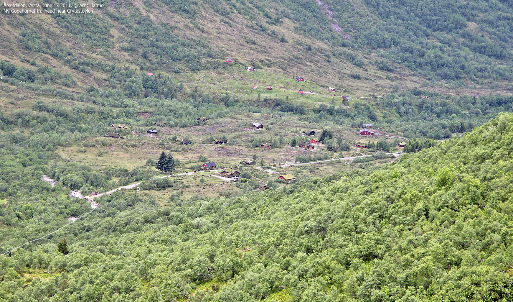
Getting there ...
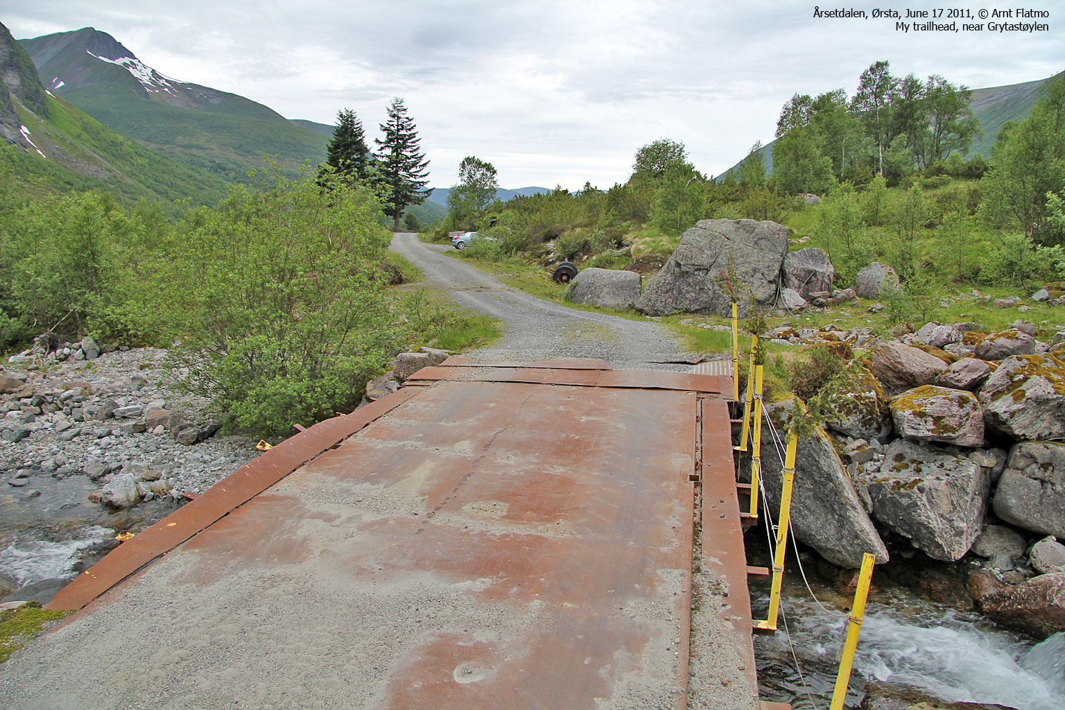
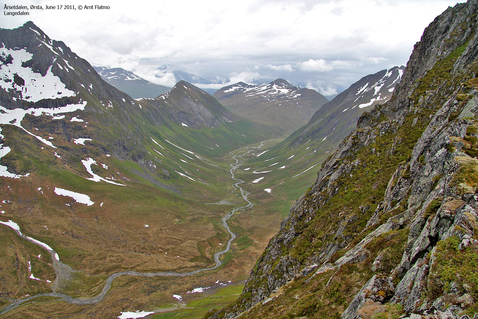
On my way up Årsetdalen, I decided to ask people I saw about Gopehornet. A man - obviously a local farmer, pointed me towards a house, and I decided to make the visit. Perhaps it would be worth the while. At this house was a person who obviously knew the local mountains inside and out. At first, he was very worried about this stranger (me) heading up to Gopehornet at this time of the day, but after I seemed to have relaxed him, he told me to go via the Åvasstinden - Gopehornet ridge. And he mentioned details that revealed a good knowledge about the mountain. Uplifted, I continued towards my trailhead near at Grytaelva. As there didn't seem to be a path, the river would be the best way to approach the mountain.

My route to the mountain
(Click for larger image)
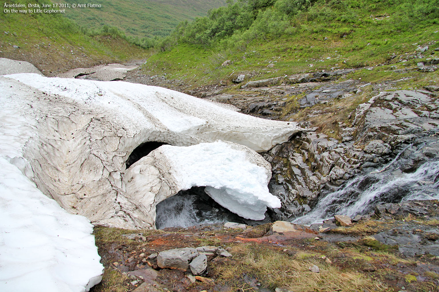
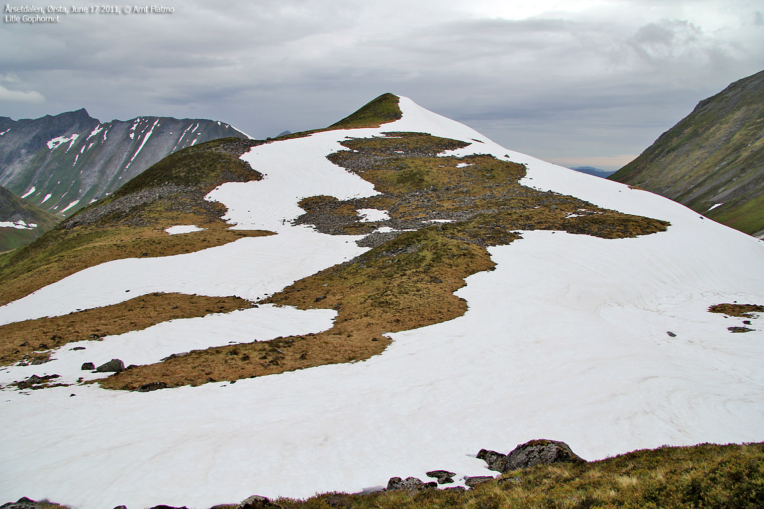
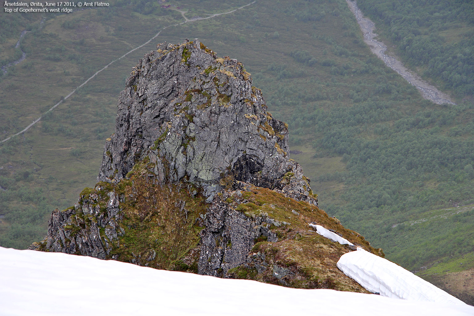
Litle Gophornet ...
The river route was a bit cumbersome, but at least I didn't have to fight bush. After 0,8km, I ran into snow and had to proceed on the south side of the river. The first section was a bit steep and I had to make sure I didn't slip or do anything else of the foolish sort. The ice-axe was a good friend, and together we gradually made our way up to the top of Litle Gophornet.

My route to Litle Gophornet
(Click for larger image)
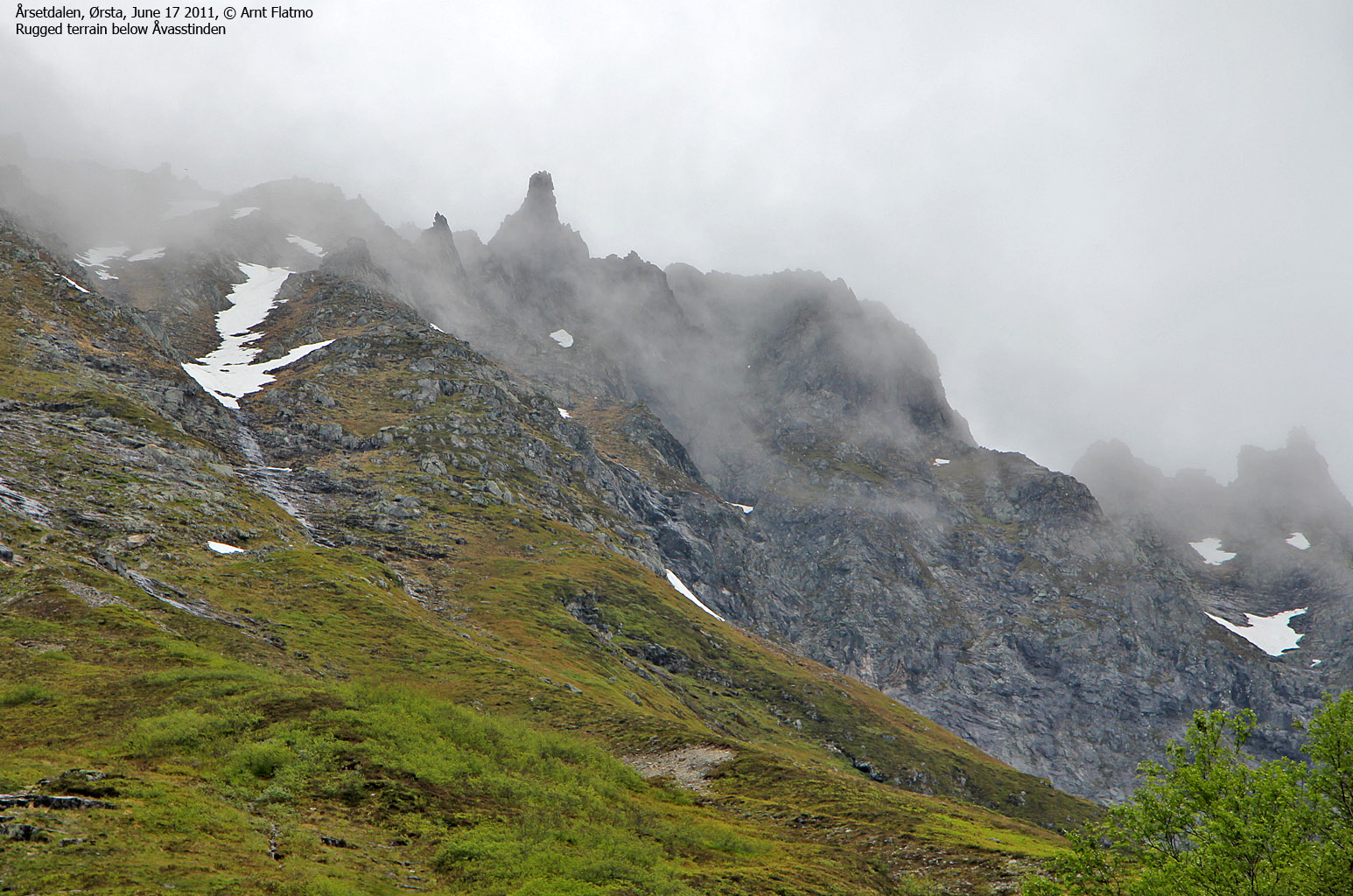
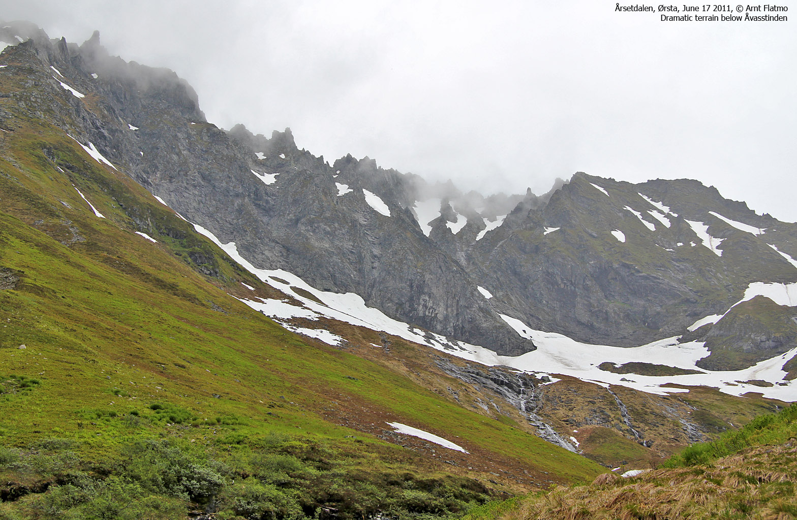
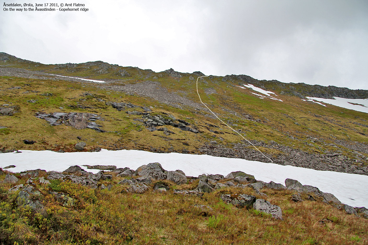
To the ridge...
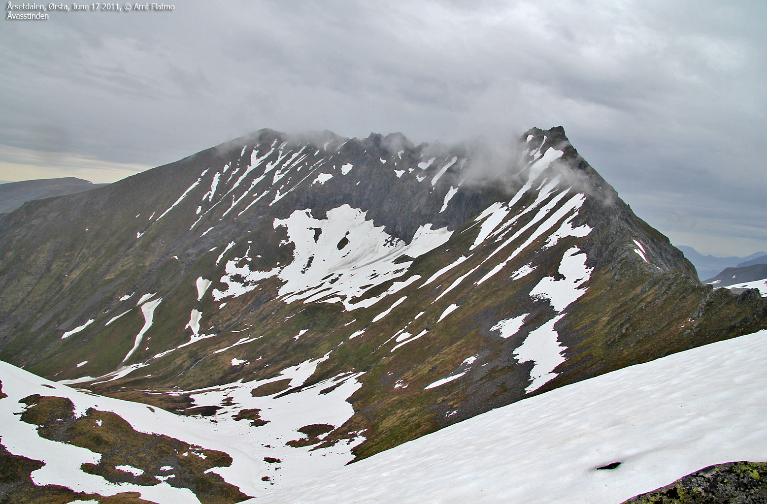
Åvasstinden was hidden in fog and the wild terrain below it seemed to blend in well with any Norwegian Troll fairy tale. It was time to choose a route up to the ridge. It didn't take me long to make my decision; I was looking for a route free of snow, and there wasn't much to choose between. Moreover, my choice of route seemed like a good one and I assumed I would make it to the top of the ridge without any sort of problem.

My route up from Gopen
(Click for larger image)
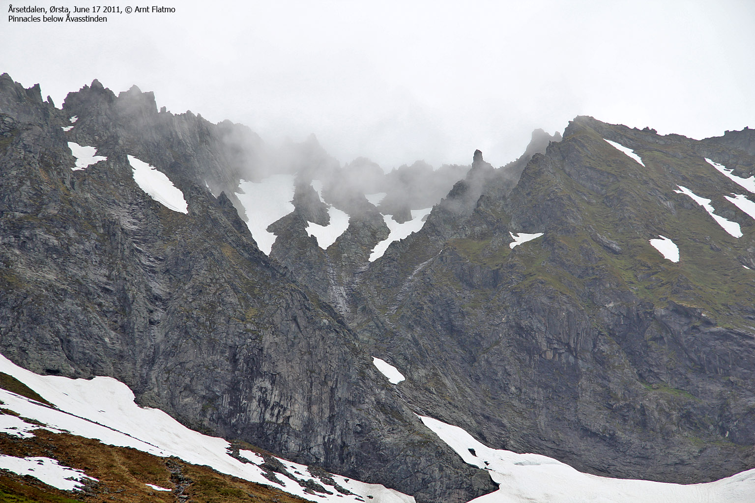
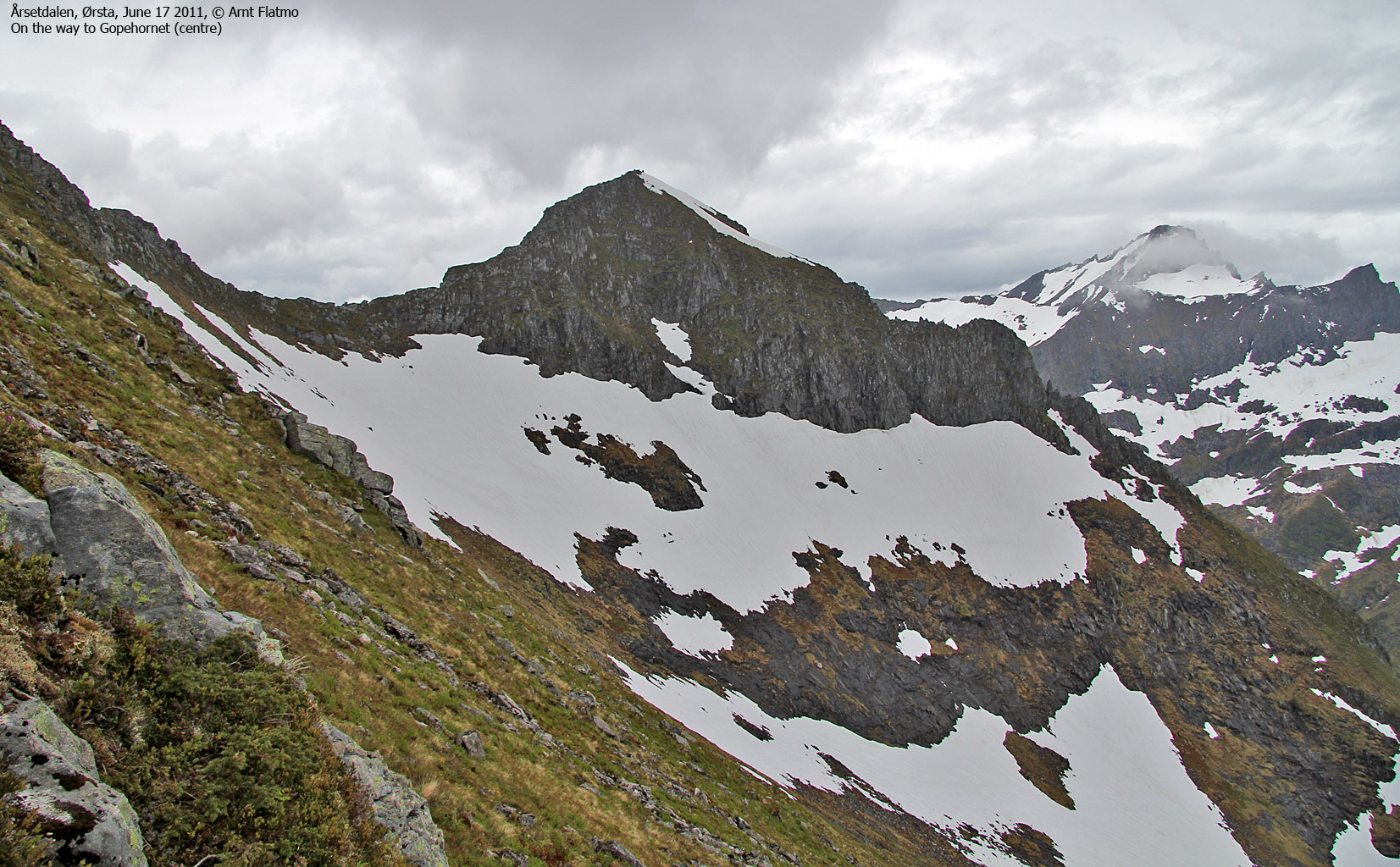
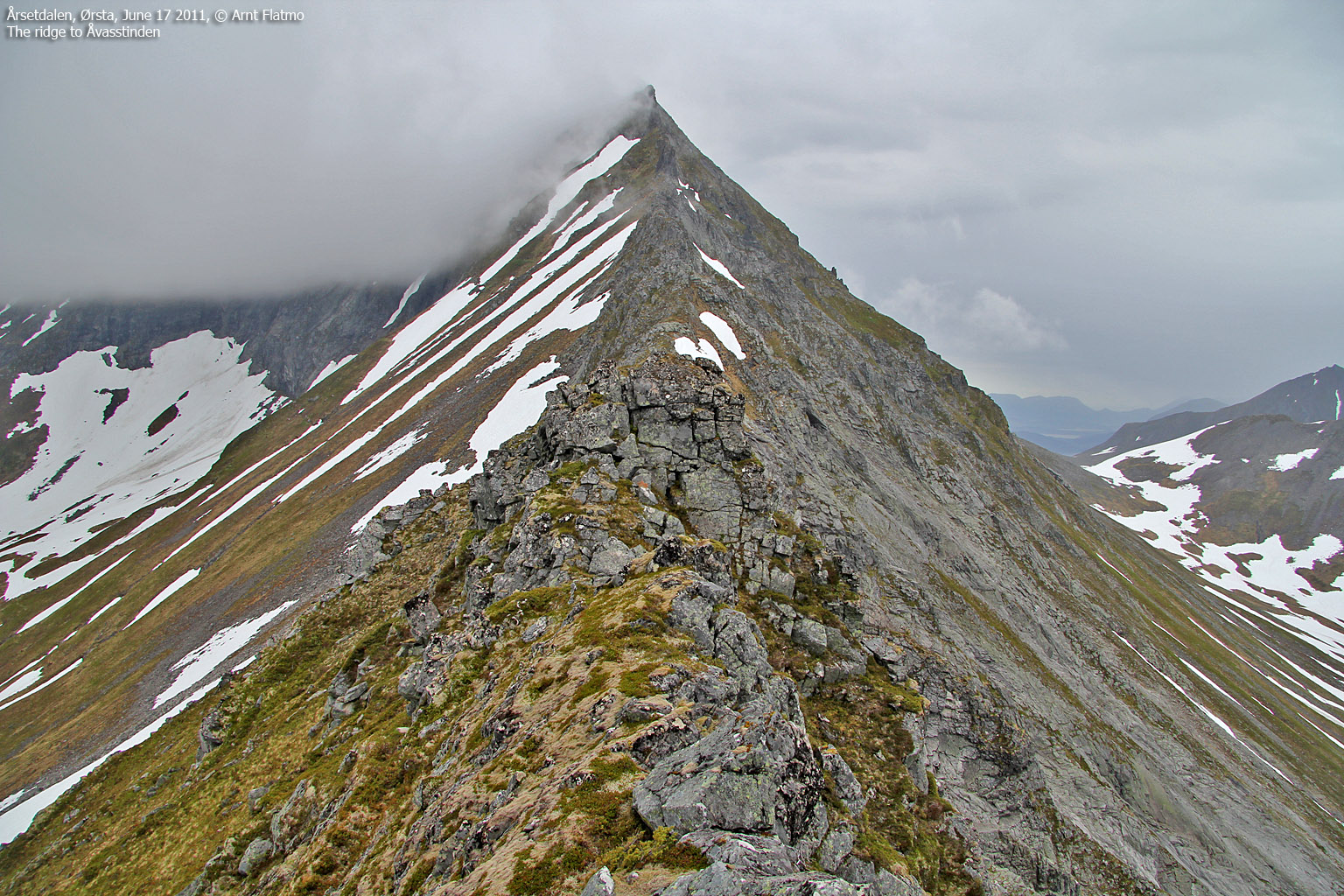
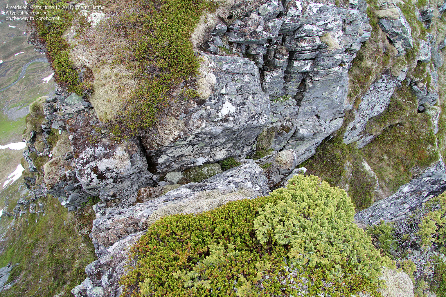
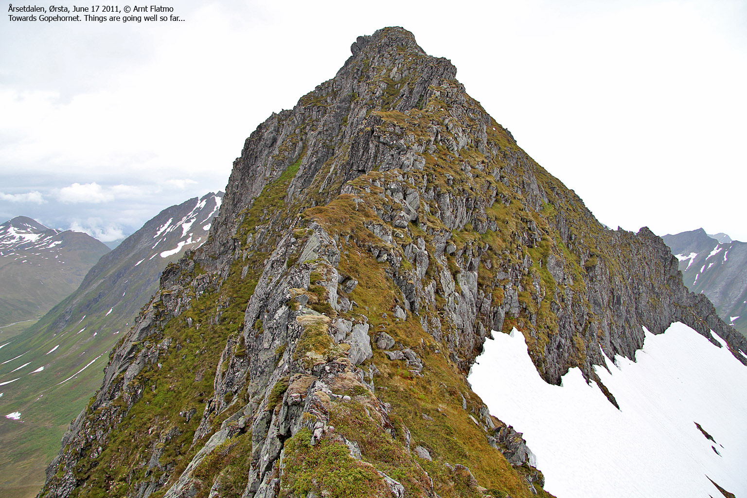
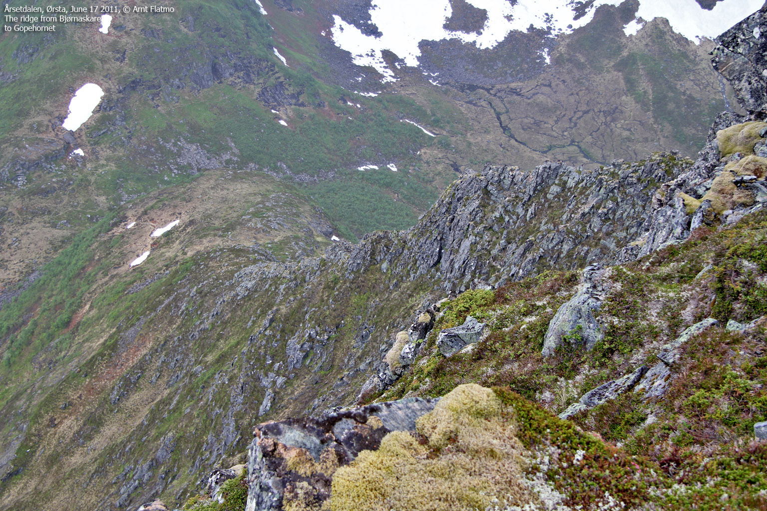
Along the ridge ...
I was right. Although steep, the route up to the ridge was easy enough. But as I followed the ridge in the direction of Gopehornet, I immediately ran into terrain that I strongly disliked (narrow ridge, unstable rock) and I chose to pass around these obstacles by descending into the adjacent gully (grass) and top out on the ridge further ahead.
Then followed an easy section before the terrain again became a bit awkward, but obstacles could easily be passed on the right-hand side. The lesson learned was that as soon as I left the ridge crest, route finding became an important task. But once the route was found, the route was also fairly easy. Or should I say; exposed and fairly easy...

On the ridge towards Gopehornet
(Click for larger image)
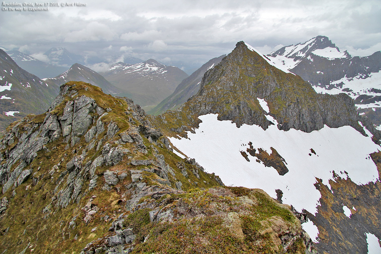
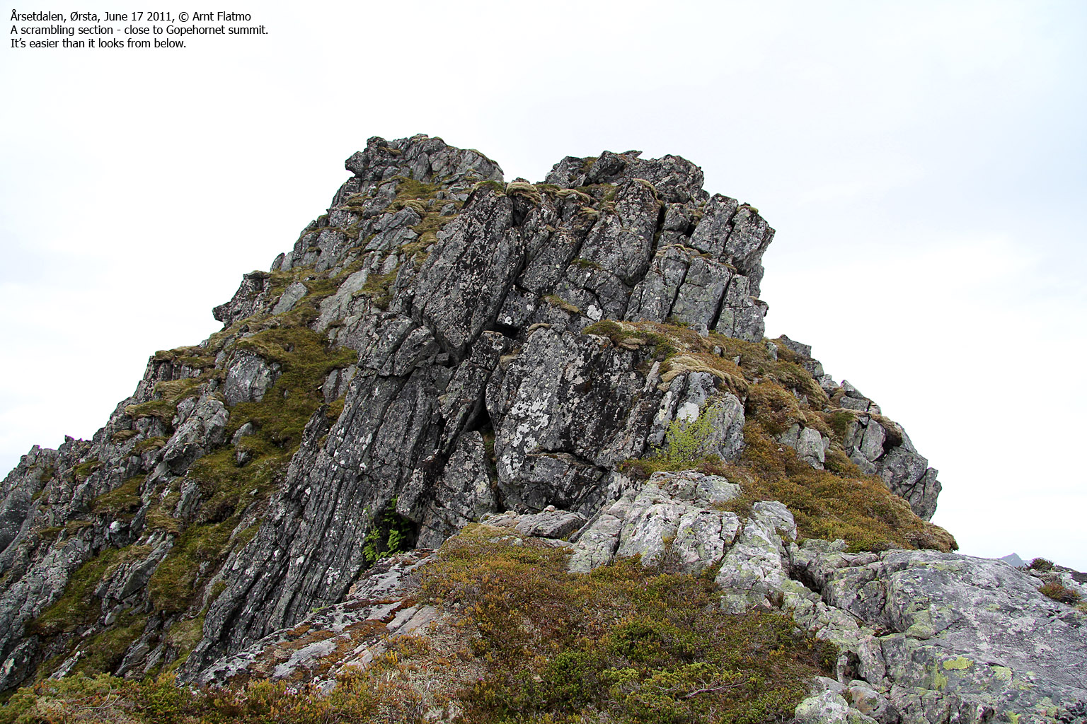
The final section of the ridge ...
I hadn't really paid attention to the fact, but suddenly it was apparent that I had been descending 50-60 meters before facing the final section up to the summit. I looked up the 80 meter high summit ridge and wondered what "fun" it would have in store for me. There was something halfway up the ridge, and I didn't like it...
But the summit ridge was easier than the ridge I had followed so far. That "something" I had seen from below was easily sorted out (scrambled) and a few minutes later - I was standing on top on Gopehornet! The time was 7:30pm, and it took me 1h:55m to get there. There were times I was in doubt, but lo and behold - now I was finally up here.

On top of Gopehornet
(Click for larger image)
Descent ...
As I retraced my steps down the mountain, and the adrenaline sunk to a normal level, I tried to put Gopehornet into a category. If you divide the Ørsta mountains into two categories; 1) the ones where you just walk and don't have to worry about anything and 2) the rest, then Gopehornet was clearly among the easier tops in the rest category.
Back in Årsetdalen, I decided to "report back" to the man I had spoken with earlier. He seemed to enjoy the report from "the stranger", and we parted a few minutes later.
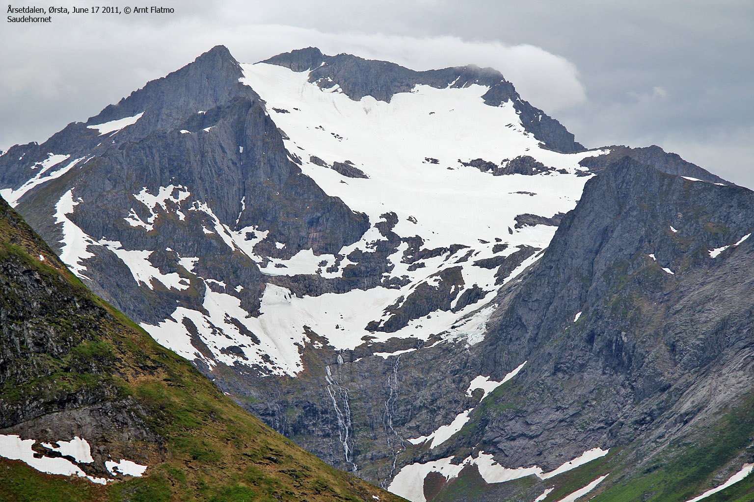
Later, I learned that a friend of mine had ascended Gopehornet via the south ridge (from Bjørnaskaret) and the man I spoke with in Årsetdalen told me that some ascended via the west ridge. That ridge looked so steep that I'm not sure if he confused the west and the south ridge, but the point is that the route described above is not the only route to Gopehornet. And - some climb Åvasstinden via this ridge, too...

The ridge towards Åvasstinden
(Click for larger image)


