Norwegian Mountains, Sogn og Fjordane
Filefjell
Berdalseken, 1814m (Store Berdalseken)
| Fylke/Kommune : | Sogn og Fjordane/Lærdal & Årdal | ||||
| Maps : | 1517-III Borgund (Statens Kartverk, Norge 1:50 000) | ||||
| Primary factor : | 731m | ||||
| Hiked : | Apr 2011 | ||||
| See also : |
| ||||
| See also : |
Other Sogn og Fjordane
mountains on westcoastpeaks.com |

Introduction
Berdalseken is the highest peak in the vast mountain region defined by Årdalsfjorden, RV53 Årdal - Tyin and E16 Tyin - Lærdal. The highest peaks in this region are Store Berdalseken (1814m), Vestre Berdalseken (1800m) and Raudbergsnuten (1805m). The summit is shared between the municipalities of Årdal and Lærdal and as no higher mountains appear within a radius of 15km, the field of view is impeccable.
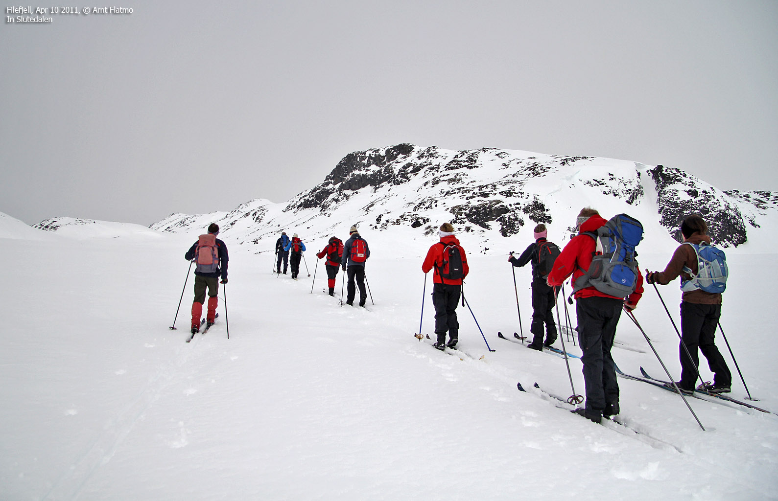
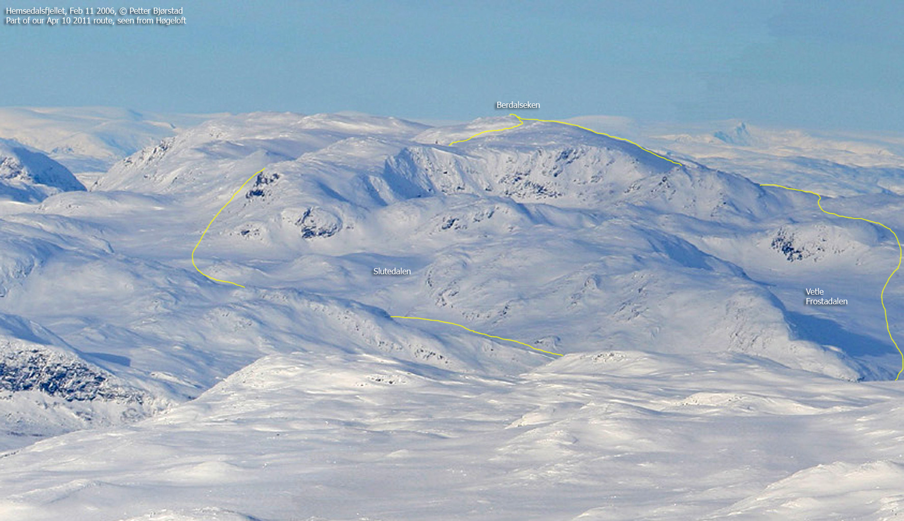
This web page describes a winter/spring round trip which is (albeit fairly long) neither steep nor difficult. The starting point is Sluten on Filefjell, the ascent route follows Slutedalen and the descent route follows Vetle Frostdalen. The entire route is normally regarded as avalanche safe...

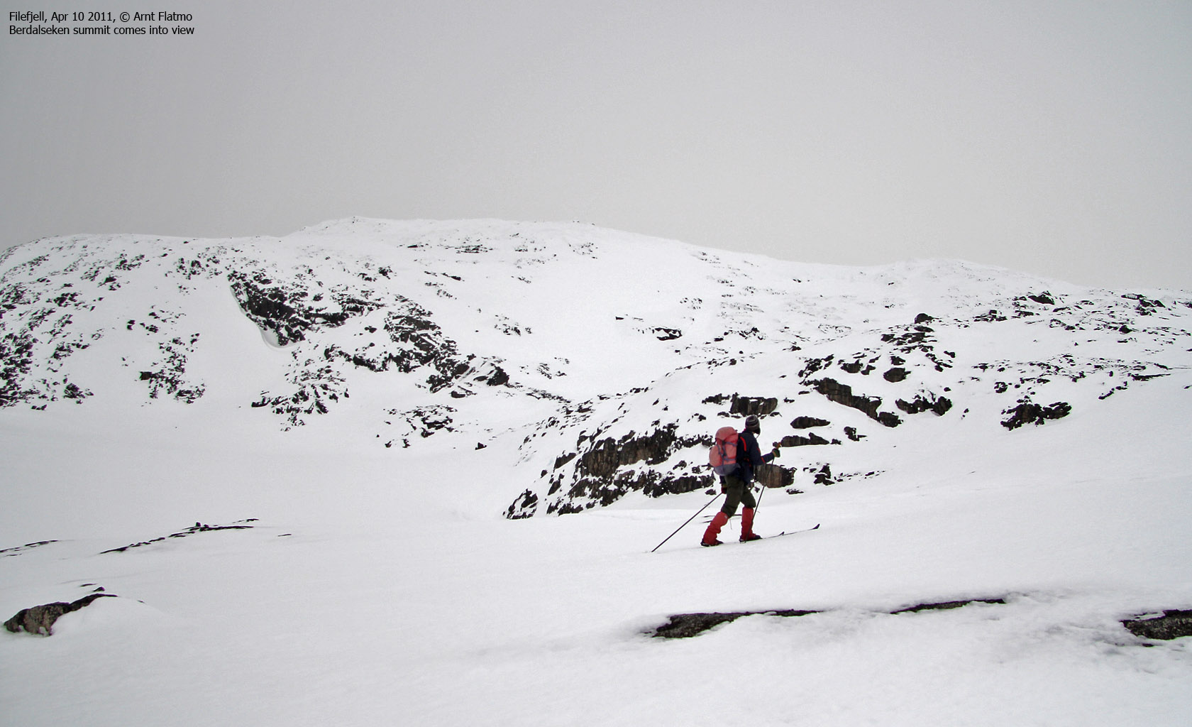
Berdalseken summit comes into view

(Click for larger image)
Primary factor:
Berdalseken (Norge 1:50,000: 1814m, Økonomisk Kartverk: -, UTM 32 V 441777 6785874) has a primary factor of 731m towards the higher parent Langeskavlen (1878m). The defining saddle (approx. UTM 32 V 458921 6788668) is found at Svejistølen by Lake Tyin. Ref. Økonomisk Kartverk (5m contours), the saddle is within the range 1080-1085m, interpolated to 1083m. The PF route also crosses Eidet between lakes Tyin and Bygdin.

Google map
Google's interactive map. You can zoom, pan and click on the markers.
|
|
|
Trail descriptions
|
Route 1: Smeddalsvatna - Berdalseken (winter/spring round trip)
|
|
This route description is valid per Apr 2011
Access
(all distances are approx. distances)
The starting point for this trip is
Filefjell. Approx 13,3km (E16 road distance) west of Tyinkrysset, locate
the road (N61.16454 E8.02079) to Sluten between lakes Øvre and Nedre
Smeddalsvatnet. If the road to Sluten is closed because of snow, look for
pockets along highway E16.
Part of the Berdalseken round trip (© Petter
Bjørstad)

(Click for larger image)
The ascent route
From E16, cross the river between the two lakes on a bridge and follow the road in the direction of Valdresdalen. Approx. 1km after the bridge, leave the road and ascend west into Slutedalen (N61.16553 E8.00136 - between the two creeks). You may have to find your way around a cornice - under normal circumstances a trivial task.
Follow Slutedalen to Lake Slutevatni and pass the lake and point 1418m on the north side. Turn north and switchback up the hillside. Once you pass point 1724m's west ridge, change your direction to the northeast (opposed to heading directly towards the summit - in steeper terrain). Then follow the summit ridge west to the summit (N61.20294 E7.91656), which is marked by a huge cairn.
The descent route
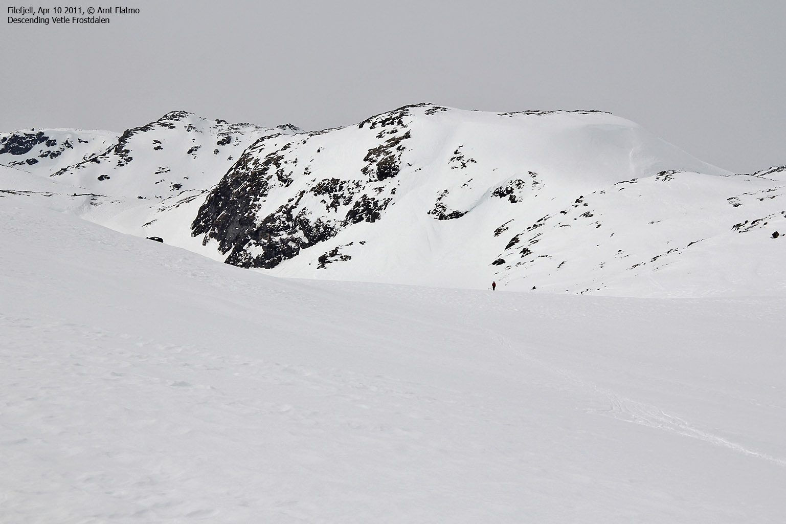
Follow Berdalseken's east ridge and descend in the direction of point 1656m, which you pass on the north side. Continue through the pass between points 1656m and 1578m. Proceed east/southeast and descend into Vetle Frostdalen between the two 1495m points. Descend the valley until it is natural to turn south - in the direction of the bridge and the trailhead.
In Vetle Frostdalen

(Click for larger image)
Pictures and Trip reports:
- Berdalseken on skis, Apr 10 2011


