
Norwegian Mountains, Møre og Romsdal
Blåskjerdingen NE ridge & Storknausen, Sep 6 2008
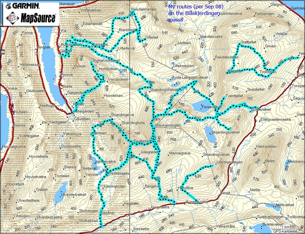
To the main Blåskjerdingen page (maps, route descriptions, etc.)

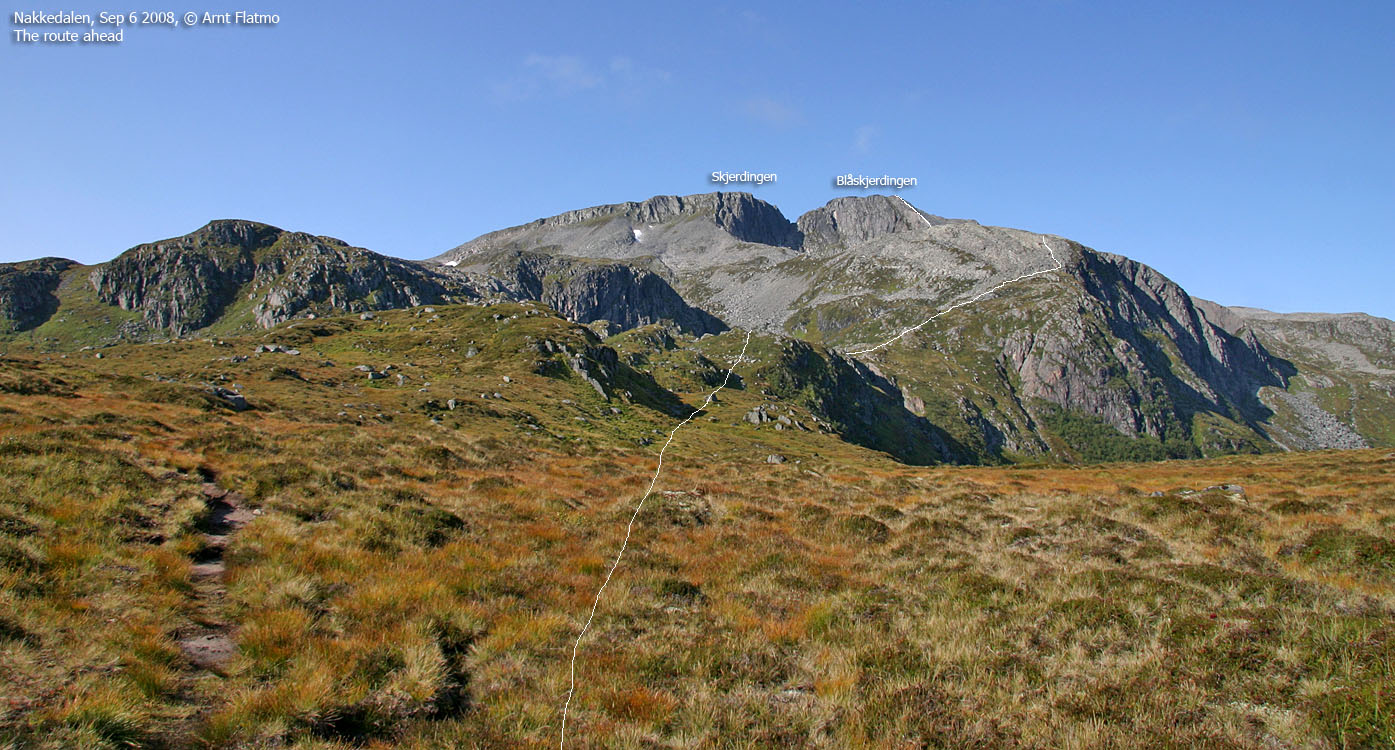
The upper route
(Click for larger image)
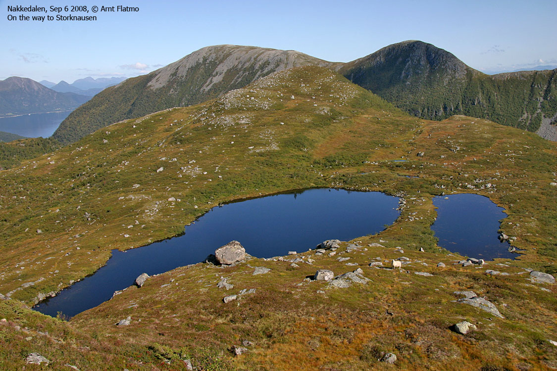
This trip ended up on my to-do list when I took the above picture in 2006. I had never paid attention to the northeast ridge before, but when I noticed it from Blåfjellet, it looked intriguing. It seemed steep and not-so-steep at the same time. One day I'd better learn the truth.
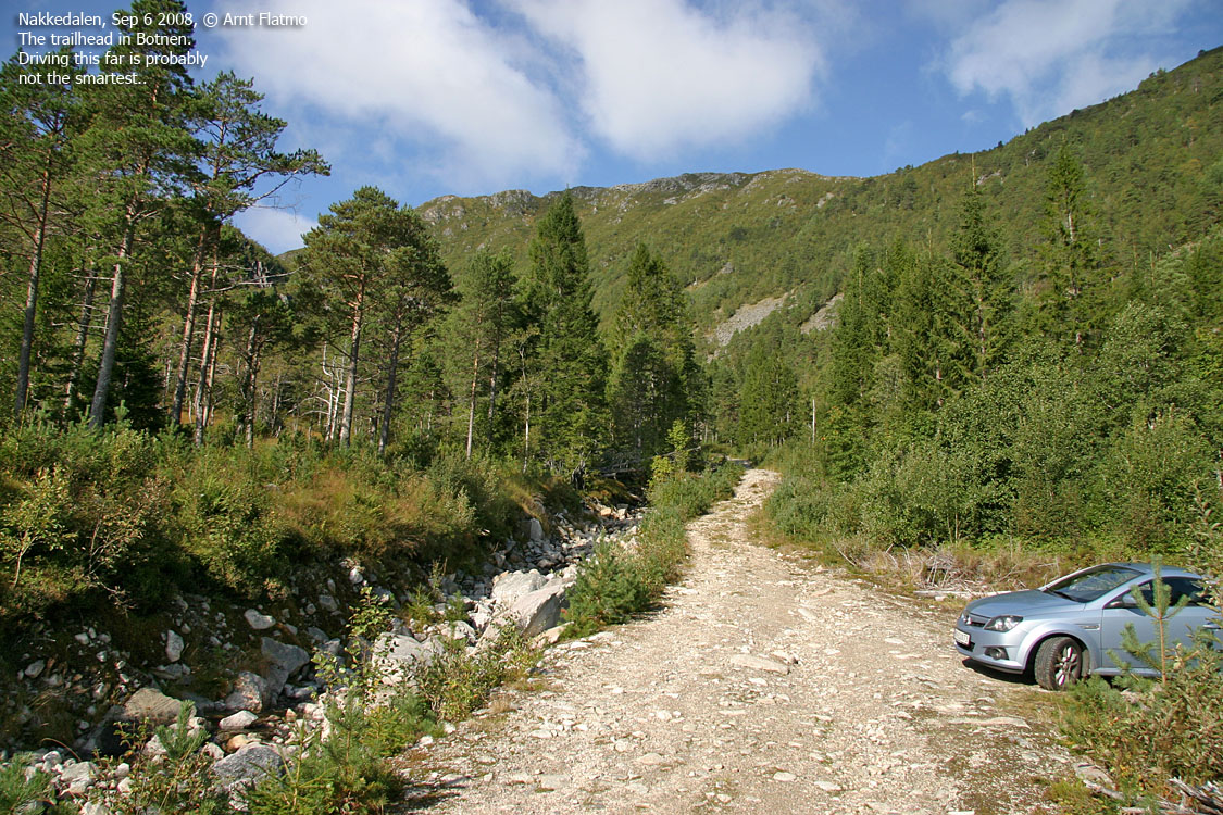
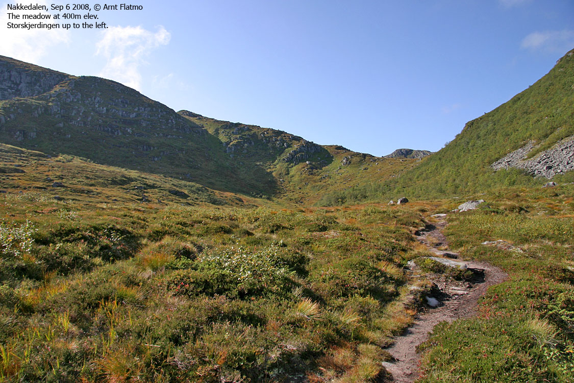
Truth day turned out to Sep 6 2008. I decided to hike from Nakkedalen and via Botnen. The actual plan was to ascend the northeast ridge, descend from the gap betwen Skjerdingen and Blåskjerdingen, and pay Storknausen a visit on my way down. The road into Botnen was much rougher than the last time I was here. When I finally found the wisdom to park, I stroked the Tiger gently on the hood and apologized.

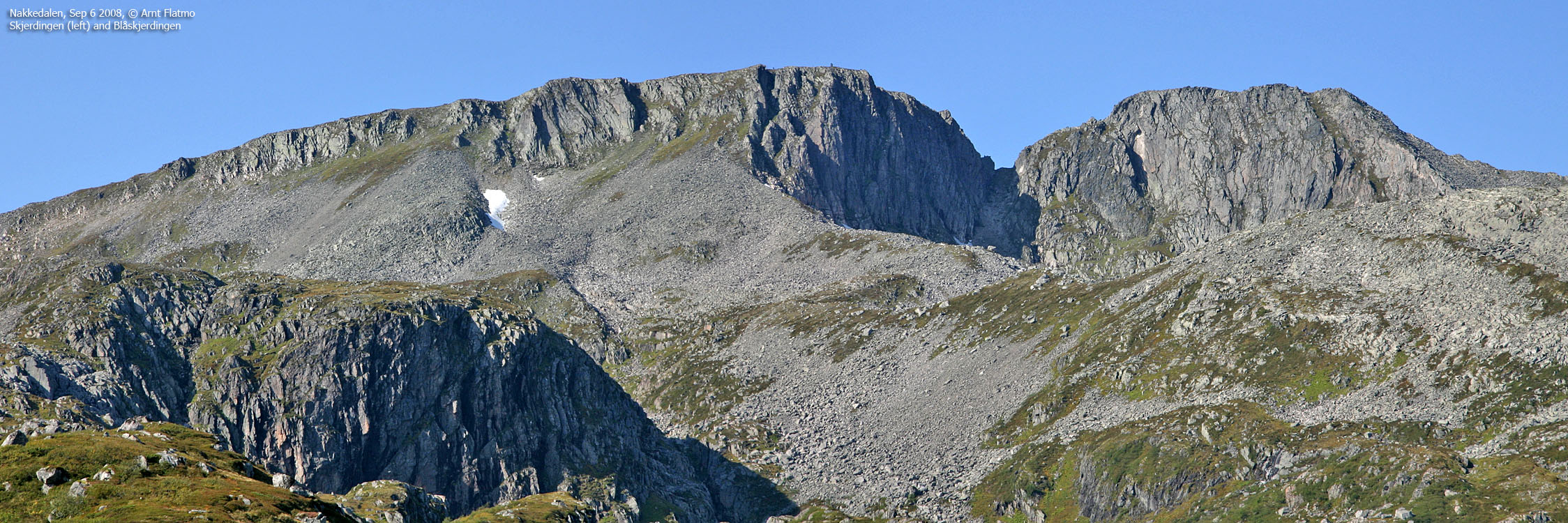
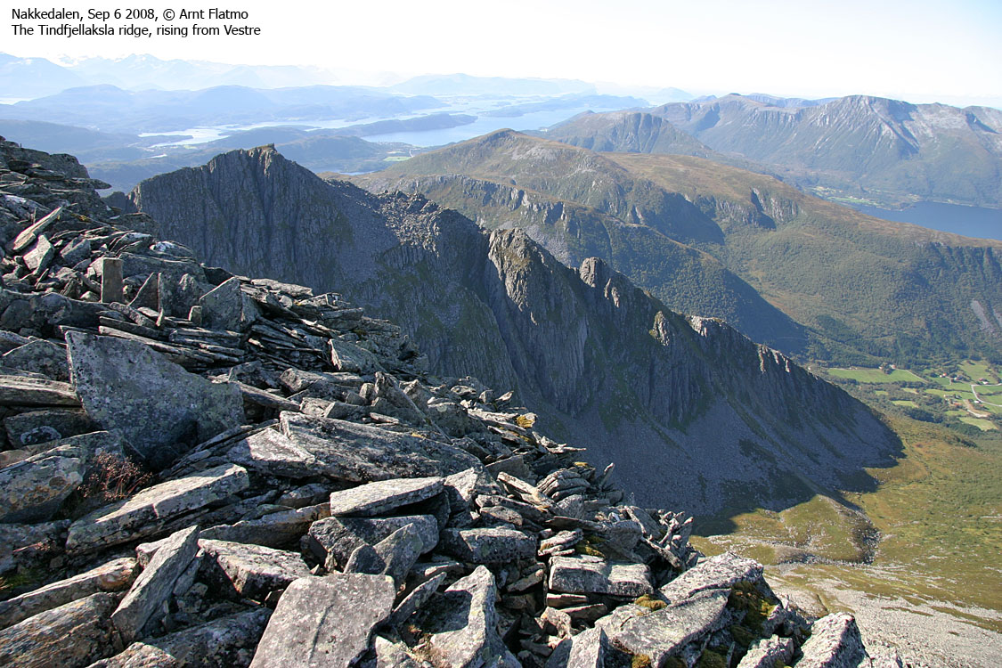
The northeast ridge to the right
(Click for larger image)
As I approached the ridge, I understood that this would not be a difficult task. But when I got on the ridge, the ridge crest was quite interesting. There was YDS class 4 climbing on the crest, class 3 scrambling on the side of the crest, and class 2 scrambling further to the right. Something for everyone. I skipped a couple of the most nervewrecking rocks, but stayed true to the crest most of the time. I reached the top of Blåskjerdingen (1069m) 12:50pm - 1h:30min after leaving the trailhead. The vertical gain was 870m.

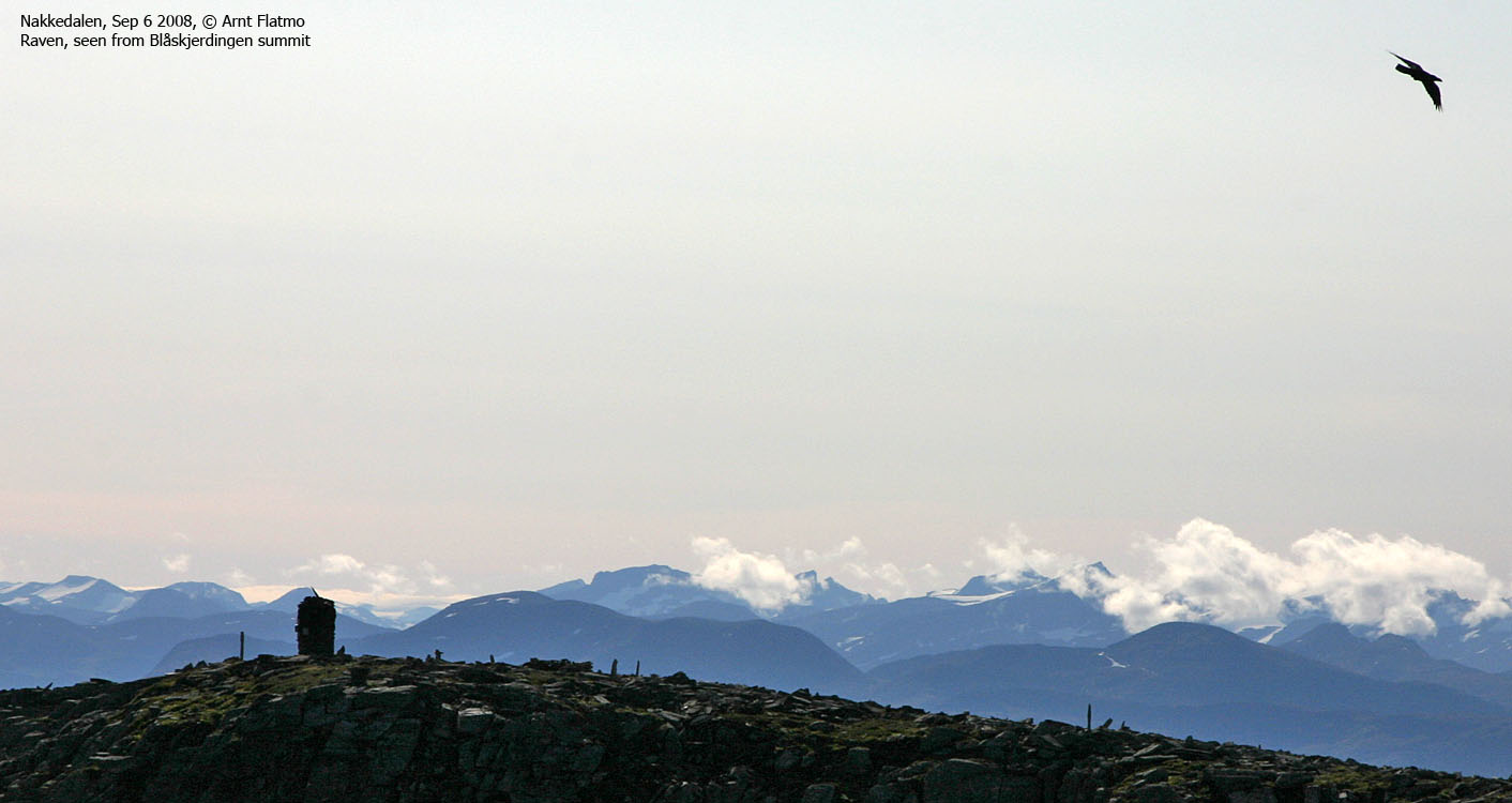
Ravens on Blåskjerdingen
(Click for larger image)
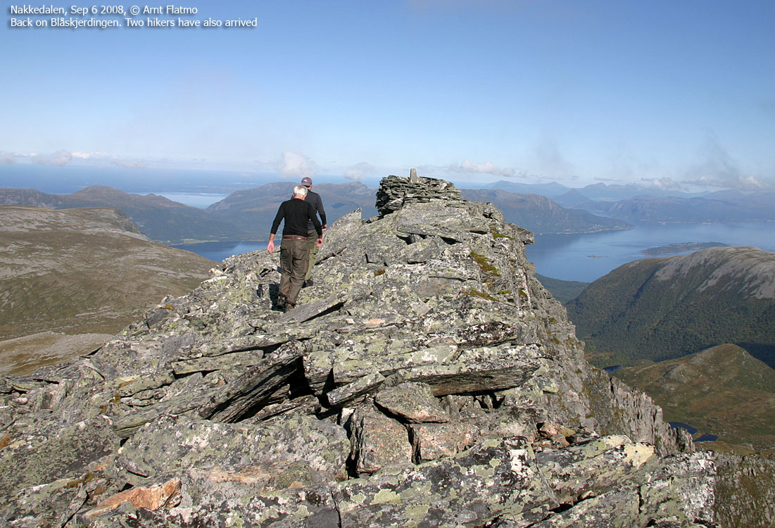
I went over to the other summit on this mountain - Skjerdingen (1061m). A couple of girls from Skodje paid close attention to my descent from Blåskjerdingen. When I arrived on Skjerdingen, they asked me about the route. One of the girls didn't have a very strong head for heights, and I said I could at take them down to the gap, and they could make up their mind from there. Based on the descent to the gap, I suggested that one of them shouldn't take the trip up to Blåskjerdingen, and she seemed very happy about the decision. The other, who would have done the scramble well, stayed loyal to her friend. I was asked to lead the way back up to Skjerdingen, which I of course did. I felt good about this; helping someone to step outside the safety zone, without regretting it.
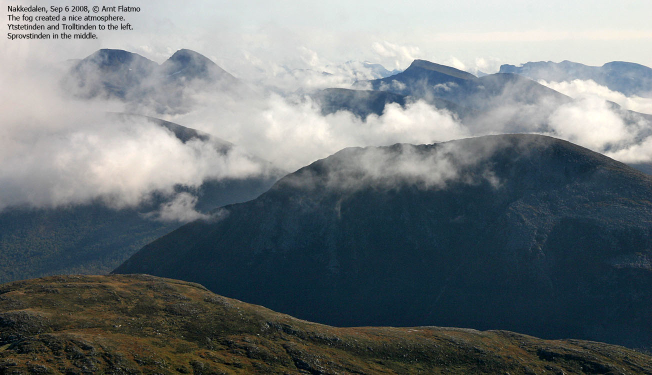
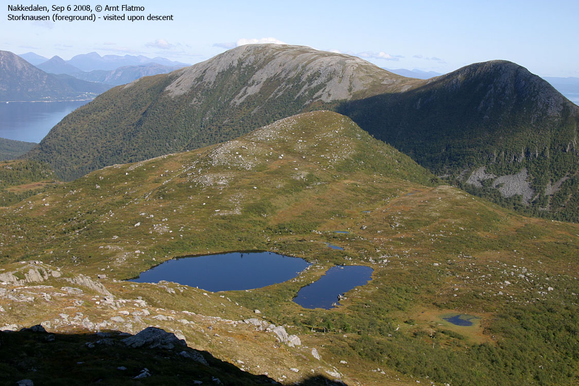
As stated, my plan was to descend from the gap, but back down in the gap, I changed my mind. The gravel was loose, and I could not risk a fall. I went back up to Blåskjerdingen, along with two other hikers that had just arrived. From Blåskjerdingen, I followed the northeast ridge down to 900m, where I turned northeast, in direction of Storknausen.
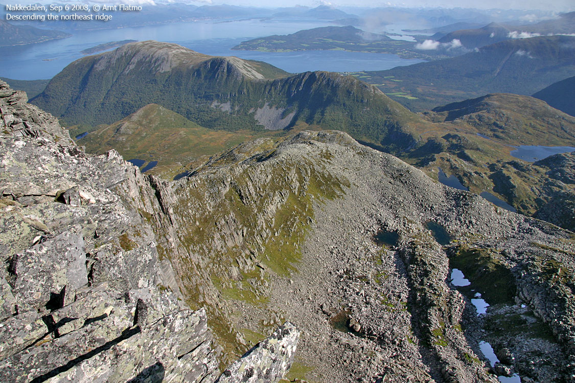
Descending the northeast ridge
(Click for larger image)
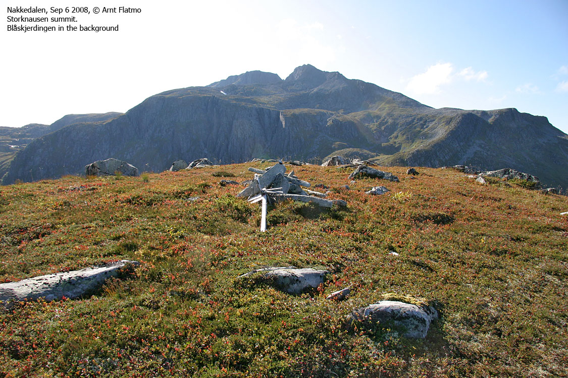
I couldn't remember what the terrain looked like, but knew there was a huge drop towards Lake Forsevatnet. Pure instinct (or just plain luck) led me to the first place that allowed me to descend towards Storknausen. 2:30pm, I was on top of Storknausen, with a fine view down to the Rekdalsdalen valley. It's a map name, but I have a big problem using names like that. Rekdal already denotes that there is a valley! Rekdalsdalen is valley valley!
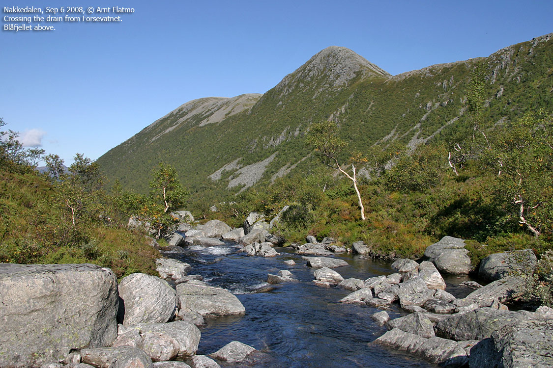
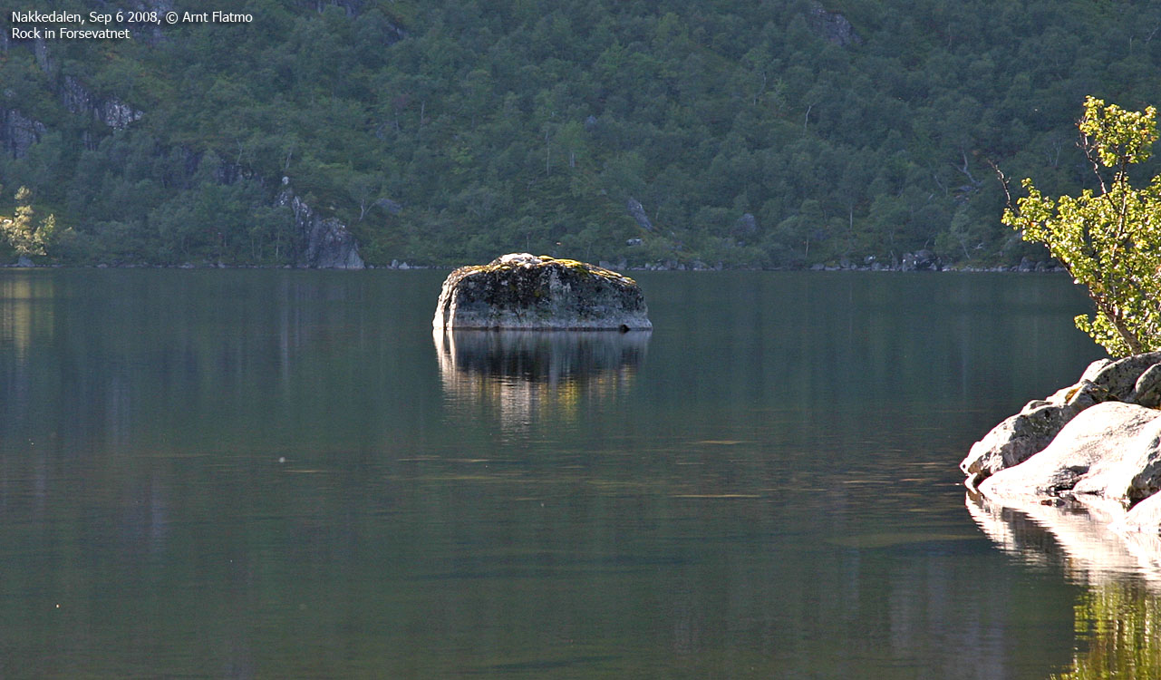
Anyway, I descended to Forsevatnet, crossed the drain and found myself a good old-fashioned cumbersome route up the forest, topping out on Tverrfjellet's south ridge at 500m, before joining my ascent route. 3:30pm, I was back at the trailhead, 4h:10m after leaving. It was just a superb hike, which I recommend to anyone who likes to step outside the regular paths.


