Norwegian Mountains, Møre og Romsdal
Bølia, 703m (Bølifjell)
| Fylke/Kommune : |
Møre og Romsdal/Surnadal |
| Maps : |
1420-IV Stangvik (Statens Kartverk, Norge 1:50 000)
1421-III Halsa (Statens Kartverk, Norge 1:50 000) |
| Primary factor : |
670m |
| Hiked : |
July 2008 |
| See also : |
|
| See also : |
Other Surnadal
mountains |
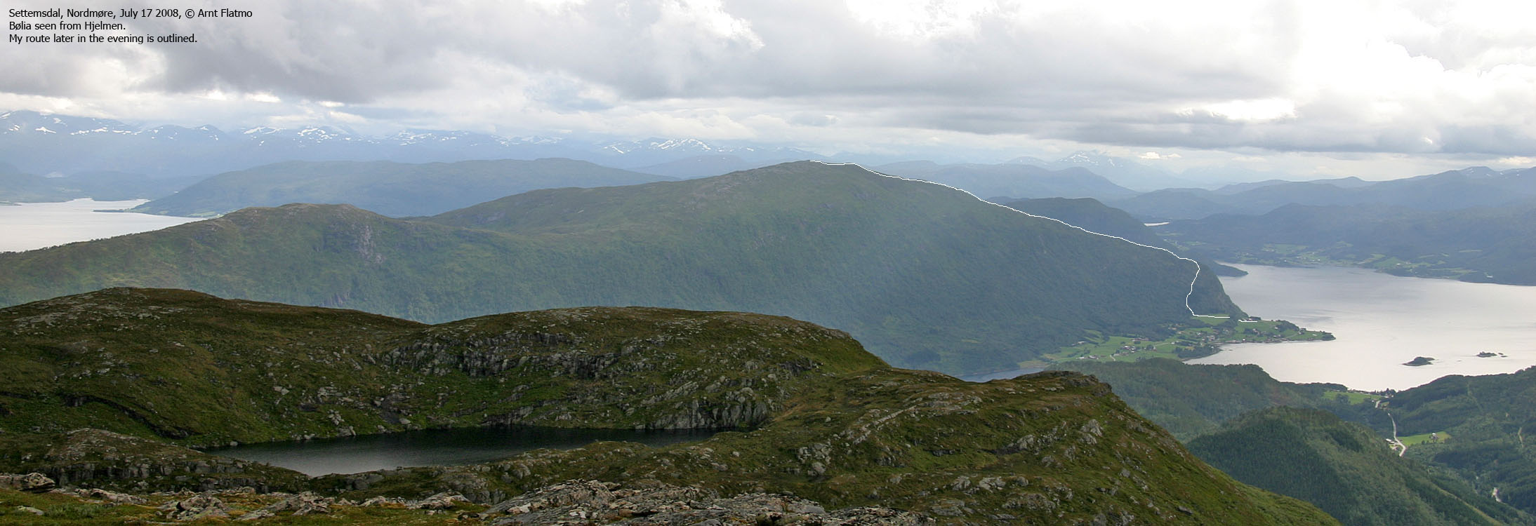
Bølia seen from Hjelmen

(Click for larger image)
Introduction
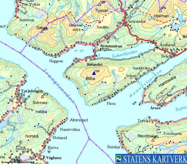
Bølia is a mountain top on a peninsula with Halsafjorden
(Trongfjorden) to the west, Hamnesfjorden to the south and
Bøfjorden/Åsskardfjorden to the north. There are several routes to the top, but
the most frequently used route (assumption!) runs from the Bøfjorden side, and
is the route described on this page.
The summit offers great panoramic views. To get a feel for the
views, look at the panoramas taken from Saksa (6,2km
to the northwest). Bølia was fogged in upon visit.
Primary factor:
Bølia (Norge 1:50,000: 703m, Økonomisk
Kartverk (ØK): 703,09m, UTM 32 V 468584 6985246,
has a primary factor of 670m
towards the higher parent mountain Hjelmen (978m).
The defining saddle (approx. UTM 32 V 476047 6987023) is found further 7,6km to
the east/northeast, near Sjøheim. Ref. Økonomisk Kartverk (5m contours), the saddle is within the range
30-35m, interpolated to 33m.
GPS measurement on the summit cairn (approx. 2m high)
read 706m, averaged over a
10-minute period (error margin not recorded).
Google map
Google's interactive map. You can zoom, pan and click on the markers.
Trail descriptions
These route descriptions were valid per July 2008. All distances are approx. distances.
|
Route 1: Bøfjorden - Bølia (summer)
| Difficulty : |
Class 1 (YDS) |
| Exposure : |
No |
| Distance : |
Approx. 4km to the top (2D distance) |
| Time : |
Approx. 1,5-2 hours to the top |
| Starting Elev.: |
Approx. 50m |
| Vertical Gain : |
Approx. 650m |
|
|
Access
(all distances are approx. distances)
From Molde, follow highway E39 (Kristiansund) to the northeast.
Just after passing the manned toll station on Bergsøya island, turn right and
continue on E39, and don't follow the road to Kristiansund through the Freifjord
tunnel. At Kanestraum, take the ferry to Halsa.
From Halsa, follow E39 7,1km to Betna and then turn right towards
Surnadal (signed). Continue on this road 8,5km. Turn right towards
Bølandet (signed).
Drive 3,5km and turn left towards Bølandet (signed).
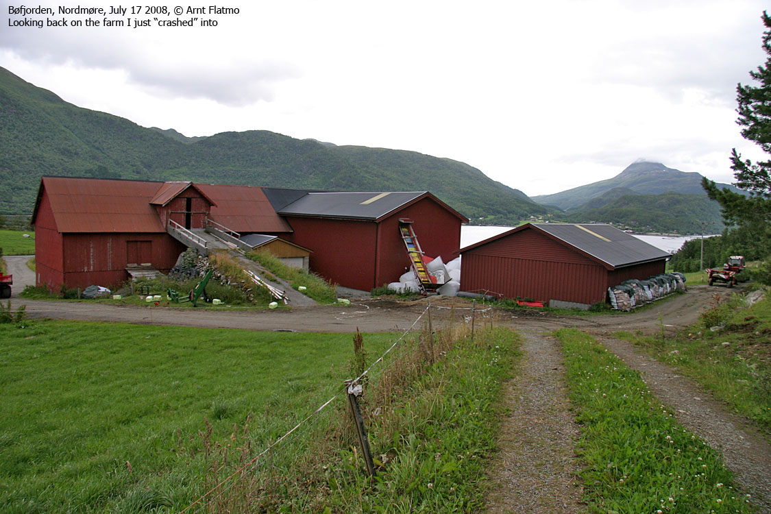
Continue on this road 3km (pass the bridge across Bøsundet) to Bøkleppvegen
road. Follow this road up to the nearest farm and ask for permission to park.
Alternatively, find parking down along the road.
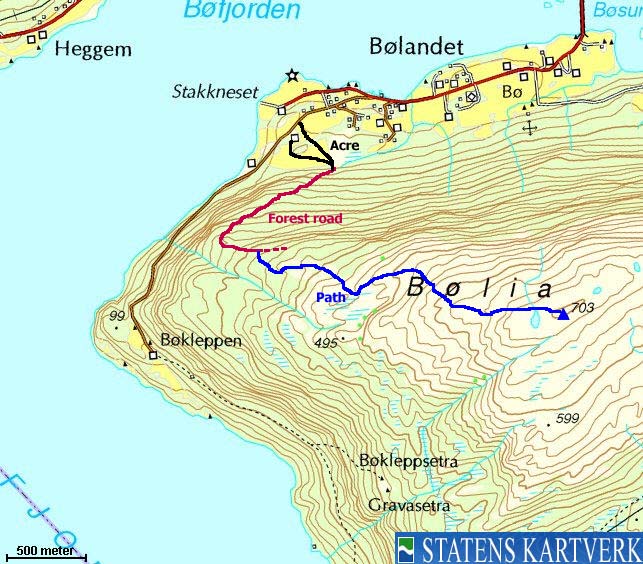
The route

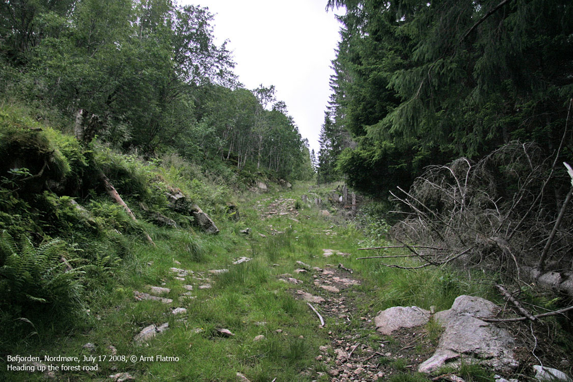
The forest road to the ridge
(Click for larger image)
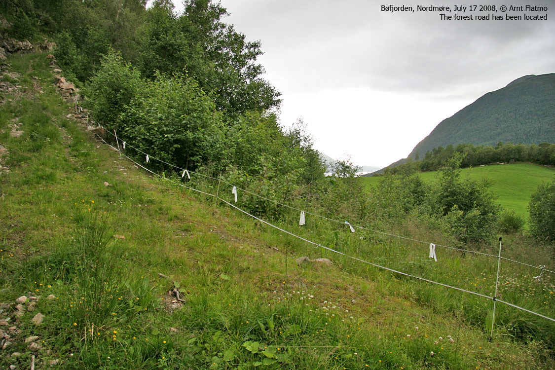
From the farm,
follow the field outskirts to the
forest road that begins inside
the forest. The forest road runs
steep in the southwest direction to 250m elev. The forest road turns to the
east and just before the forest road begins to descend at 320m elev., get up on
the forest ridge to your right and locate a vague path. Follow this path
eastbound towards Bølia summit.
The route is marked with sticks near the summit area. The summit is marked by a
proper cairn.
Pictures and Trip reports:
 westcoastpeaks.com
Other Møre & Romsdal mountains
Other Norwegian mountains westcoastpeaks.com
Other Møre & Romsdal mountains
Other Norwegian mountains
| 


