
Norwegian Mountains, Nordland
Dalaunfjellet (800m) from Langfjorden, July 5 2010
To the main Dalaunfjellet page (maps, route descriptions, other trip reports, etc.)

Dalaunfjellet
(Click for larger image)
Well established in our Brønnøysund base-camp for the summer, Dalaunfjellet was the first mountain that Anne Rudsengen and me were to visit in the Brønnøy region. We had worked our way up north through Hasetkammen in Sør-Trøndelag and Romsskåla on the Nord-Trøndelag/Nordland border, and I looked forward to show Anne my other backyard. Upon visiting Øyrtinden almost one year earlier, I promised myself to come back for Dalaunfjellet. The weather wasn't the best, but Dalaunfjellet would get a visit today!
The starting point would be by Langfjorden, approx. 1km north of where I started out towards Øyrtinden a year ago. We left the power plant 12:30pm and followed a tractor road upwards. And now I'm being unfair to tractors, which don't havoc roads anywhere near this. We're probably talking heavy construction vehicles here. It's the ugliest tractor road I've seen in Norway. Where's the revegetation plan?

On the tractor road
(Click for larger image)
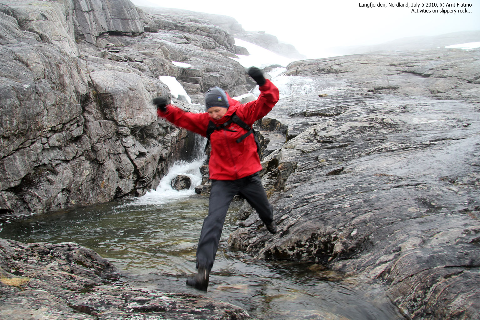
We finally got off the tractor road and made our way to the dam west of Svartvatnet. The dam was easy to cross, although we had to scramble off the concrete. Based on a surface wound, Anne suggested that the dam was falling apart, but I reckoned it would survive until we were down from the mountain...

Hoppla-hey
(Click for larger image)
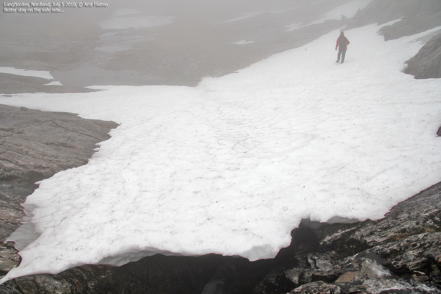
As we made our way up the mountain (following cairns for a while), the weather turned against us. We were soaking wet by the time we reached point 734m - the first of three humps on Dalaunfjellet. In thick fog, we continued to point 791m and proceeded directly towards the high point at 800m. Without paying much attention to the GPS, we started drifting in the wrong direction. I noticed that we were heading west of the summit and adjusted the course sharply to our right. We both got a feeling that we now were heading back towards point 791m, but the GPS confirmed that we were on the right course. We reached the top of Dalaunfjellet 3pm - 2,5 hours after leaving Langfjorden. And little did we see...

On top of Dalaunfjellet
(Click for larger image)
During our ascent, I had noticed a potential descent route directly towards Storvatnet, and discussed this option with Anne. Exploration is always fun, even in fog, and after a (very) short stay on the summit, we headed into a small valley between point 800m and point 791m.
There was still snow left in this valley, and the snow was a double-edged sword; it offered an easy descent, but beneath was a river that was eating its way through the snow. Certainly not something we wanted to fall into. After a discussion about safety on snow, we agreed on the fact that we disagreed and got off the snow after a little while.
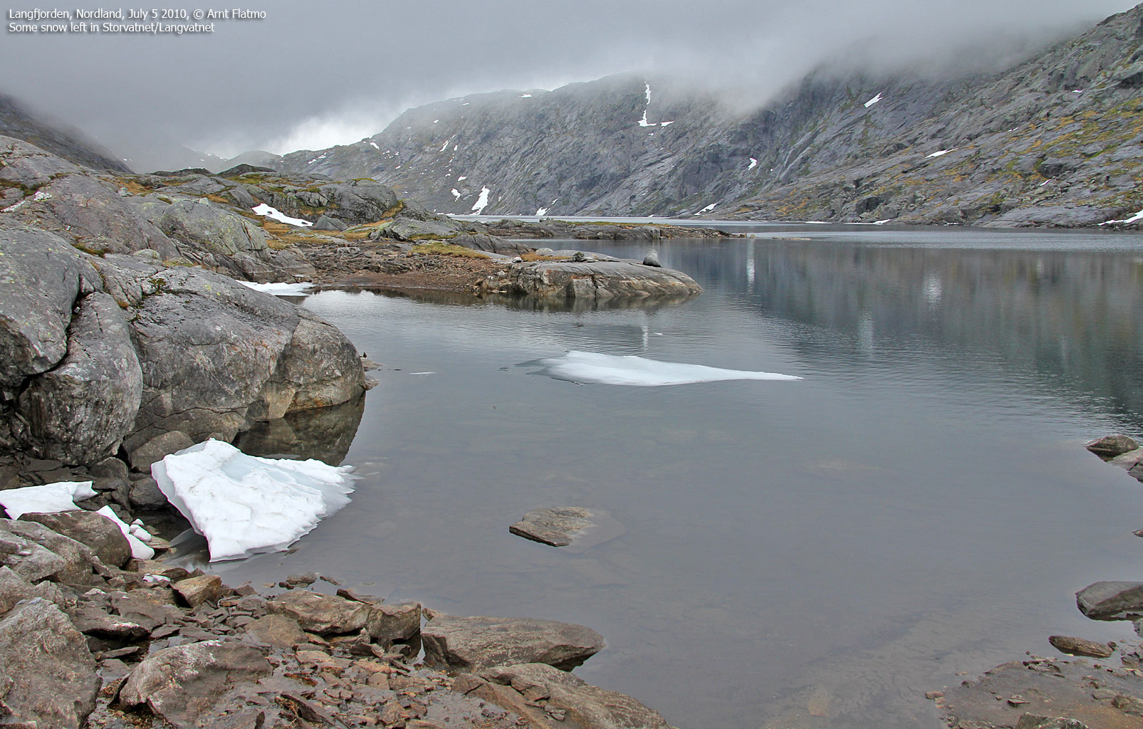
Reaching Storvatnet (also known as Langvatnet) was nice; we were now below the fog, and could enjoy nature that none of us had seen before. Moreover, it wasn't raining anymore. We turned right (southeast) and followed a river that was not on the maps. Nevertheless, it was obvious that the lake had to drain this way. We passed a dam and were satisfied by the fact that the river still looked rather a bit wild.

The river from Storvatnet
(Click for larger image)
Above Lake Svartvatnet, we could see construction work in progress. Most likely on the pipeline system from Lake Tettingsvatnet. Heavy machinery was at work here, and we assumed that this vehicle could very well have made its way from Langfjorden (opposed to have been flown in by helicopter). Which would explain the tracks along the tractor road...
We joined our ascent route and returned to the trailhead 5:02pm - 4,5 hours after heading out. This was our last rainy hike for a while, and could enjoy Klapparfjellet and Bufjellet on Sømna in nice weather the following day. Trip reports to be posted soon....

Construction work above Svartvatnet
(Click for larger image)


")


