
Norwegian Mountains, Møre og Romsdal
Gulberget (160m), Indre Harøya (41m) - Mar 28 2013
To the main Gulberget page (maps, pictures, other trip reports)

The route, as seen in Google Earth
(Click for larger image)
It would have been quite comfortable to spend the Easter holiday on sunny Søre Sunnmøre, but when the ambition is to visit at least 100 new mountain tops every year, one has to hit the road from time to time. And this time, Anne and me chose Fræna as the destination and went on an ultra-short journey.
I had "unfinished business" up in Fræna and there were some mountain tops that fit Anne's bad back and my bad foot quite well. Gulberget was one of them. Skoften was another. And the list was longer...
We needed a base-camp and Anne found Gule Hytteutleie near Bud. After an enjoyable drive from Gurskøya to Fræna, we arrived there in the afternoon and the cabin was already warm. It was a most excellent start of our Easter holiday in Fræna...

View from our cabin
(Click for larger image)
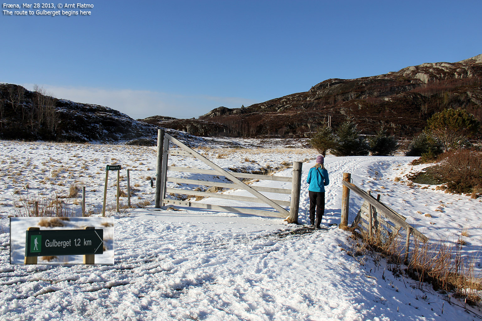
Gulberget (160m)
With "Idling gets you nowhere" as motto, we headed out shortly after checking in. Gulberget was awaiting. We parked by the cemetery and followed a gravel road 0,5km up to a building that I forgot to investigate. Water plant? We continued on the forest trail and reached the top 25 minutes after heading out.

On Gulberget
(Click for larger image)
It was darn good to be back in Fræna. It was 5 years since I last visited this region and I remembered most of the mountain tops that I could see from Gulberget. Skardsettinden was a particular nice sight...

Skardsettinden
(Click for larger image)
I proposed the following plan to Anne; Gulberget today, Høgheitinden (Elnesvågen) on skis for tomorrow and Skoften (Malmefjorden) - on our way back home the day after tomorrow. This would give me 3 new tops and that was OK, given my inflammated foot On a good day, that ambition would have been doubled. Anne shrugged her shoulders, probably finding little meaning to this type of planning...
We descended via the neighbor top, giving us a nice round trip hike - 2,7km in total. We were back at the car 5:40pm - 1h:15m after heading out. The dogs seemed definitely happy, just like the humans were...

Descending Gulberget
(Click for larger image)
Indre Harøya (41m)
I felt it was a little early to call it a day, so we convinced Anne that we ought to visit Indre Harøya. For some reason that I cannot explain (and I don't have to...), I wanted to visit the high point - 41m. But we read the GPS wrong and followed a road marked "Private". The sign was not so unusual in itself, but we passed a house where they had video cameras outside! Creepy!
We soon discovered our error and got back on the right track, which led us to a stone quarry. The first sign told us that if we didn't belong there, we couldn't drive in. Fair enough. So we walked in...
The next sign stated that there was avalanche danger (rock, of course) and that further access was prohibited. As we could see absolutely no way how we could inflict an avalanche (it could certainly not come from above...), we agreed that the sign had no real meaning, and hence - could be safely ignored.
We could see that there was a drill close to the high point. It seemed like the overall plan was to tear the high point down. And if they take away 2 meters, the island high point gets to be somewhere else. I found the thought quite enjoyable, but accept that it takes a mountain nerd to think this way...

Indre Harøya high point ahead
(Click for larger image)
It was time to get back to the cabin and prepare dinner, so we didn't hang around for long. But then came an eagle and sat down not too far away from us. So then I had to go on a photo mission.
As it was quite late in the day (7pm), there wasn't enough daylight to get the pictures I wanted, but in the end I was quite happy about getting anything at all...

Eagle passing Indre Harøya
(Click for larger image)
When we returned to the cabin, Anne served a delicious dinner (as she always does) and the dogs were spoiled rotten. Our first day of our Fræna Easter Holiday was definitely a memorable one...
The next day we visited Høgheitinden and Klempertåsen in Elnesvågen and Jærmannsburet on Gossen island. Trip report to follow...

Goodnight...
(Click for larger image)


")
")


