
Norwegian Mountains, Møre og Romsdal
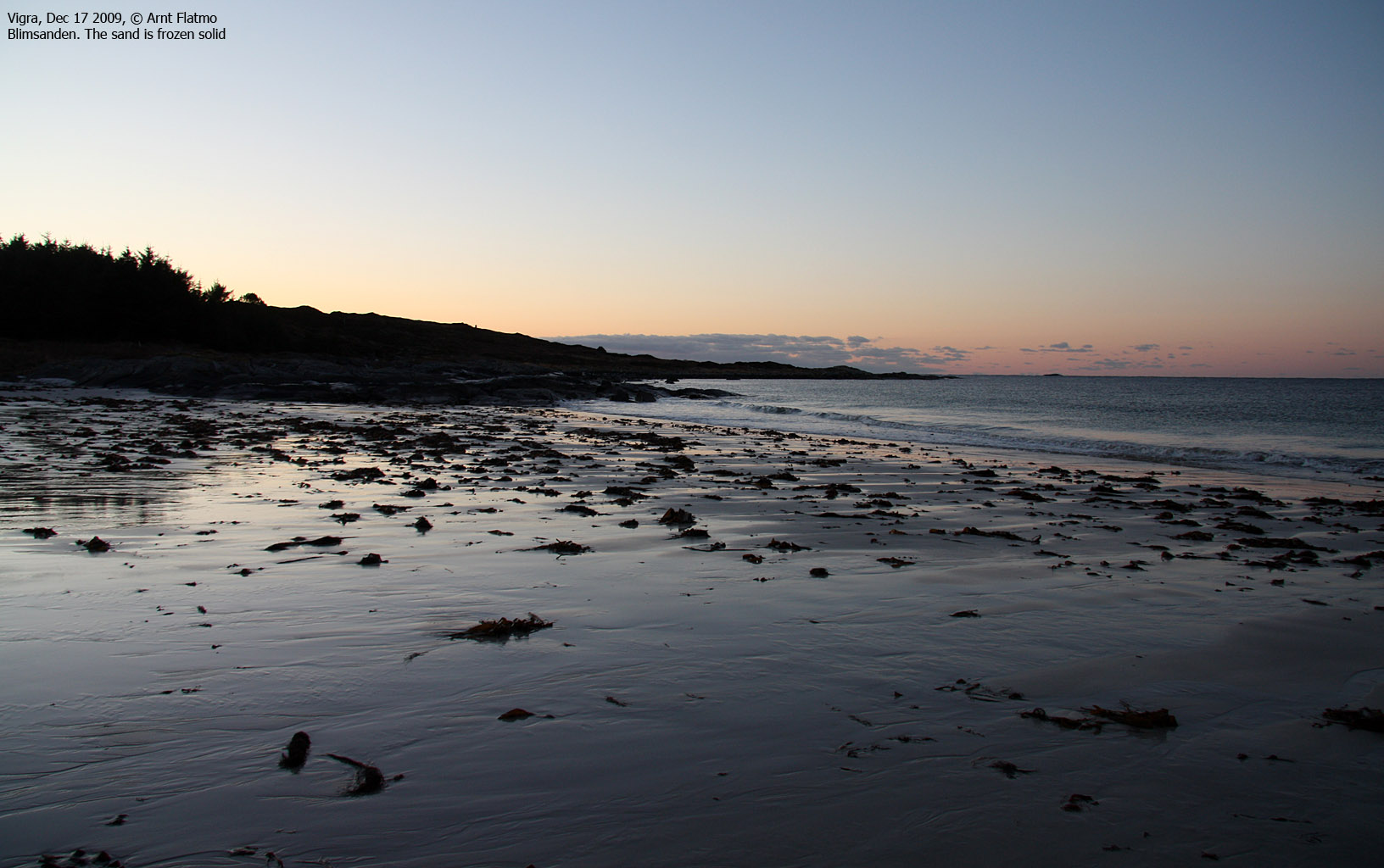
Blimsanden, Vigra, Dec 17 2009
Trollråsa, Sukkertoppen, Dec 17 2009
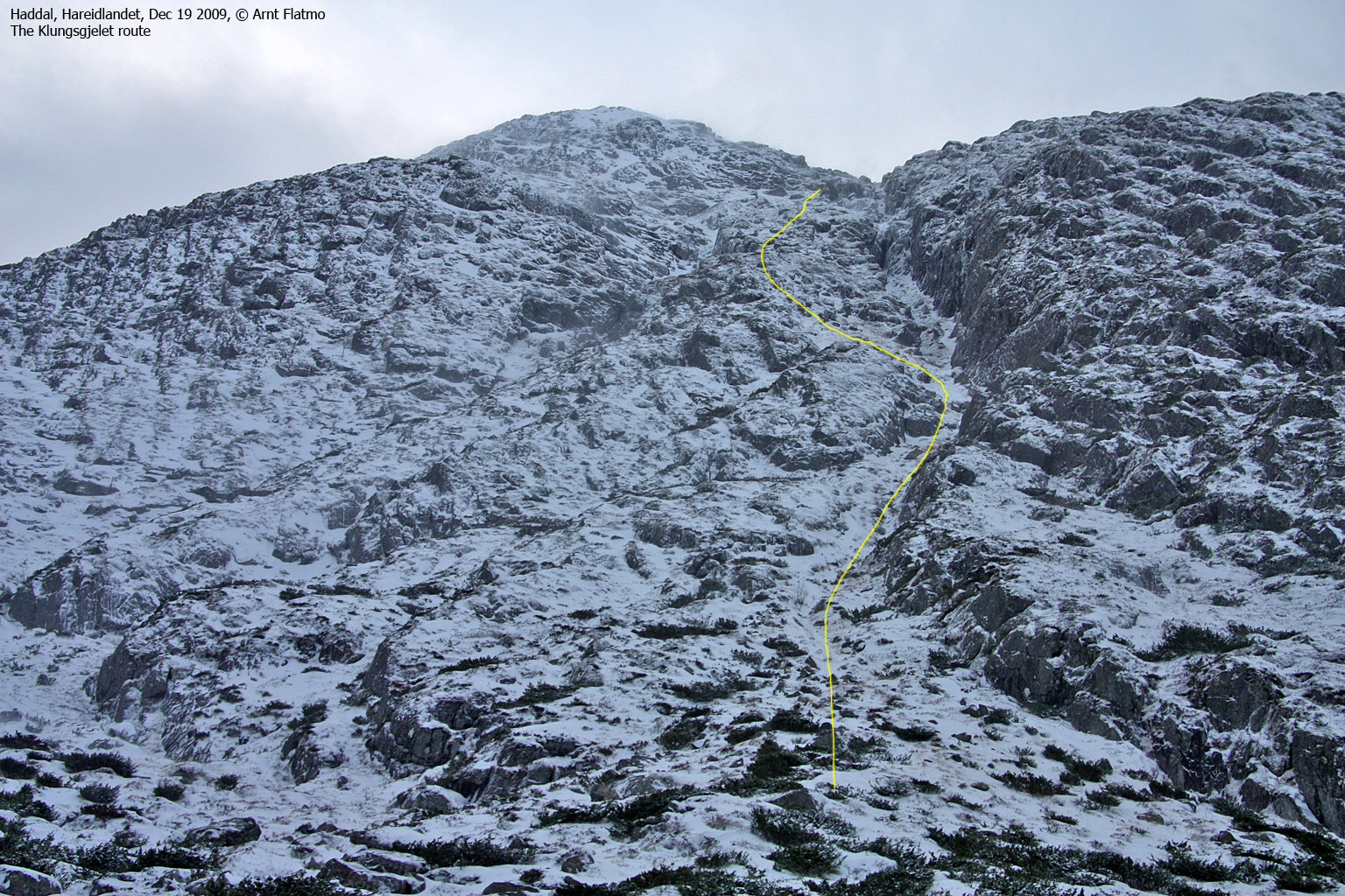
Haddalshornet via Klungsgylet, Dec 19 2009
Saursegga & Nipa/Gjøna, Dec 20 2009
To the main Haddalshornet, Sukkertoppen & Saursegga pages (maps, route descriptions, other trip reports, etc.)
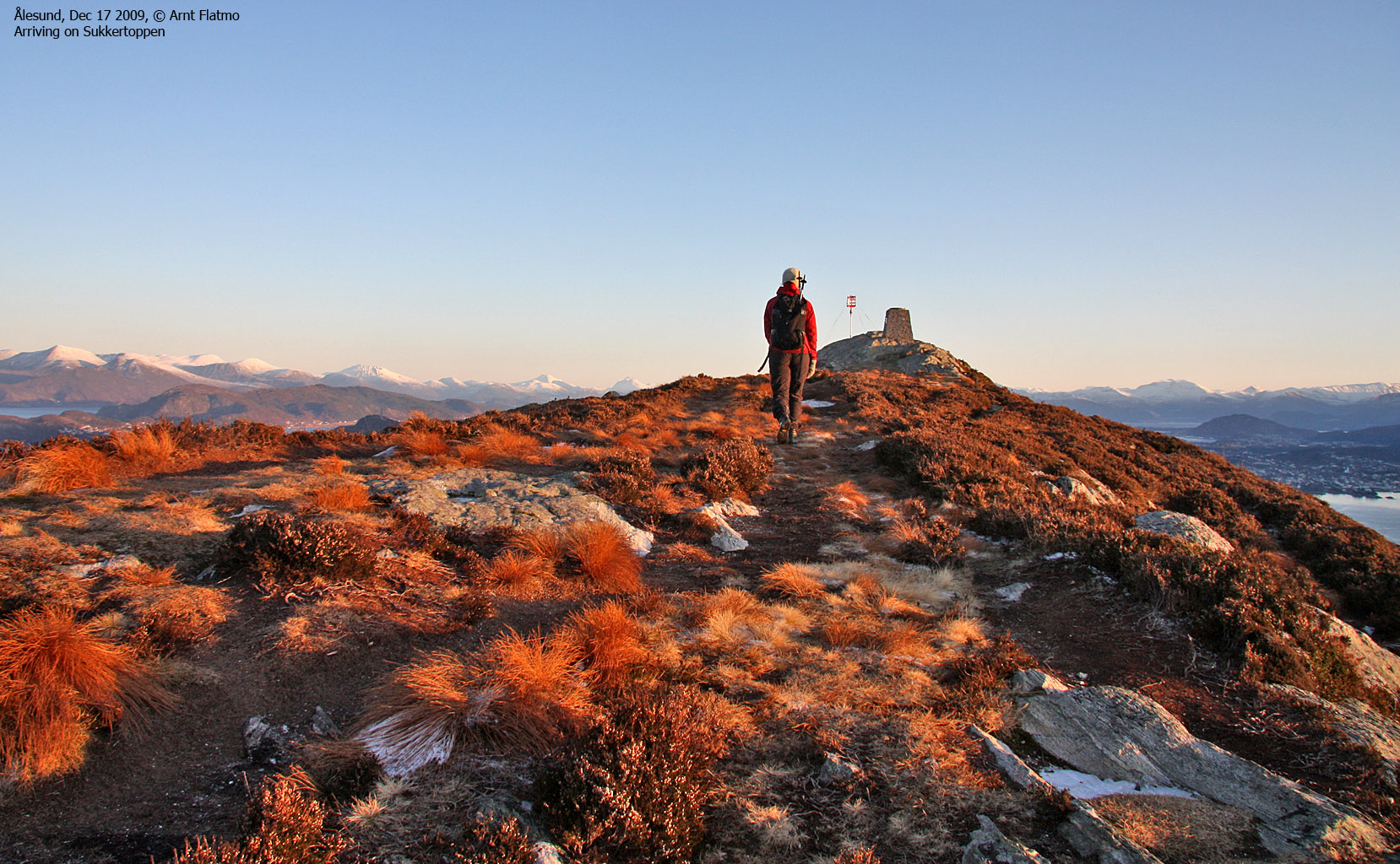
Trollråsa, Sukkertoppen, Dec 17 2009

Trollråsa, Sukkertoppen
(Click for larger image)
We had a few spectacular weather days in December, and they were spent visiting some of my favourite places in the Ålesund & Søre Sunnmøre region. Along came Anne Rudsengen, on a visit from Sogndal.
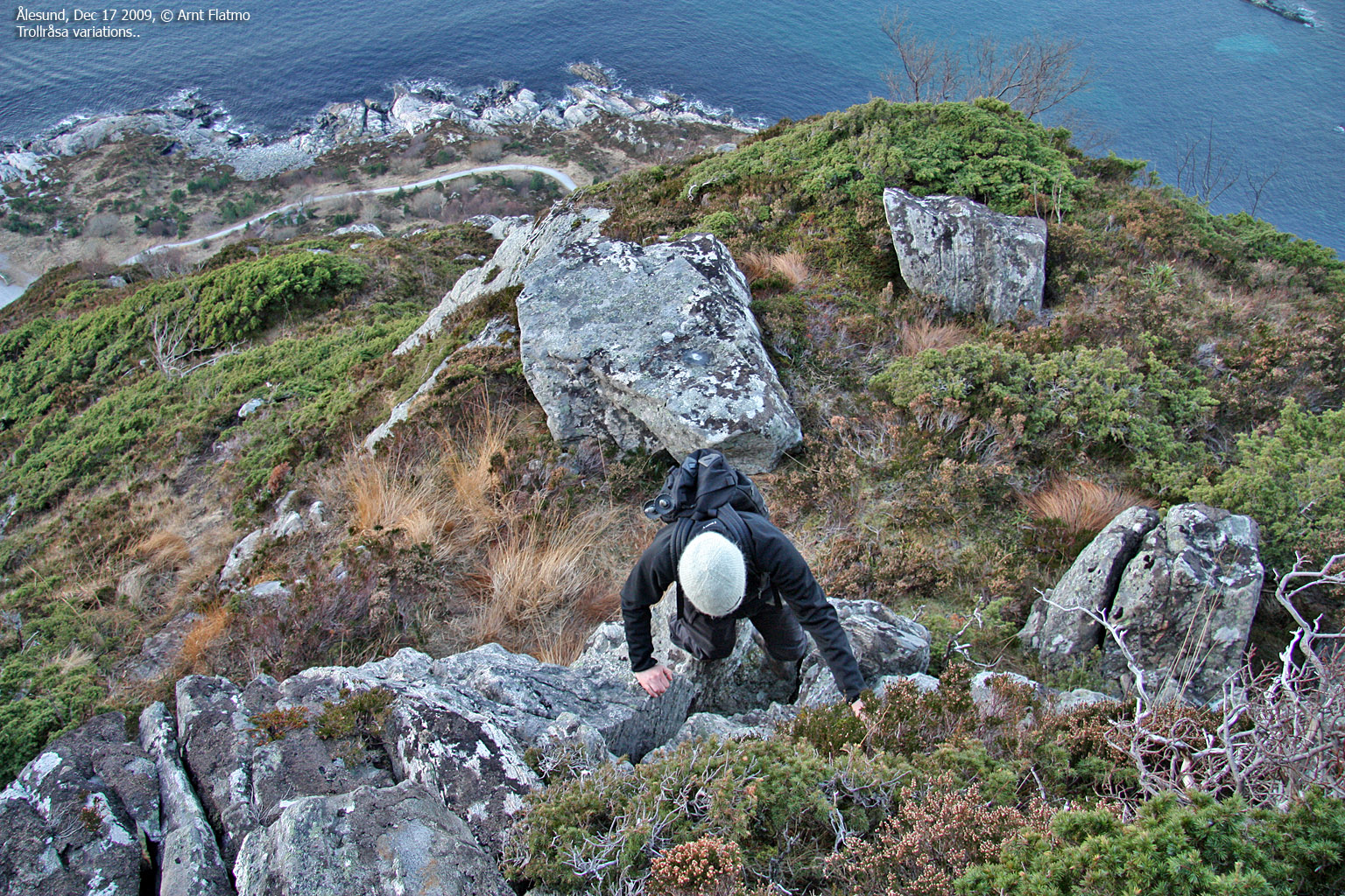
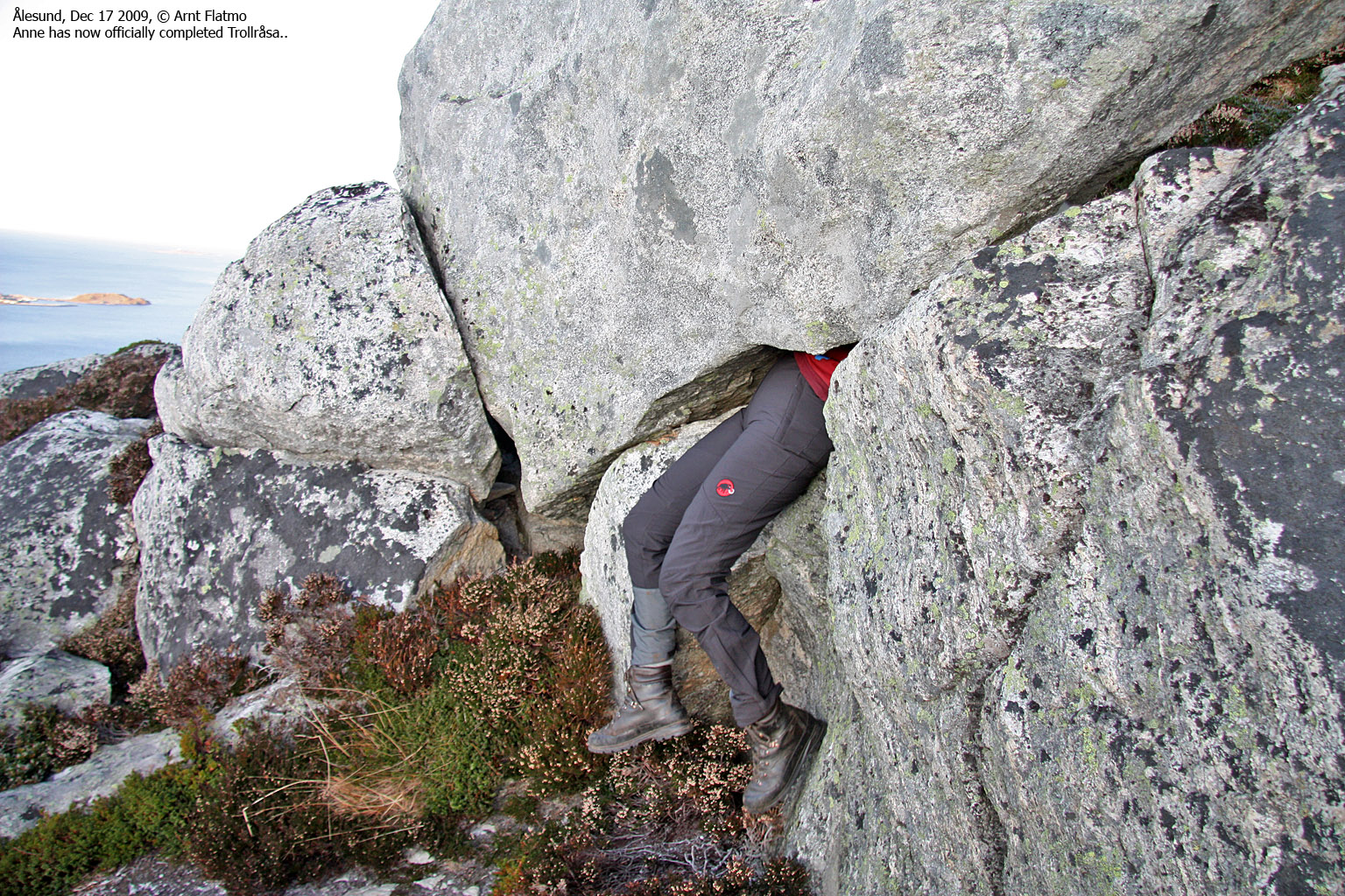
I had only been up Trollråsa once in 2009, and as I wanted very much to do this nice hike again, this became our first stop. When we stopped halfway up to sign the visitor's register, Anne could well understand why I was so fond of this route. The view from Sukkertoppen summit was just as beautiful as always, and although I've taken countless pictures up here, I just had to take one more panorama (see "Pictures" below).
The Trollråsa route can be seen on this picture.
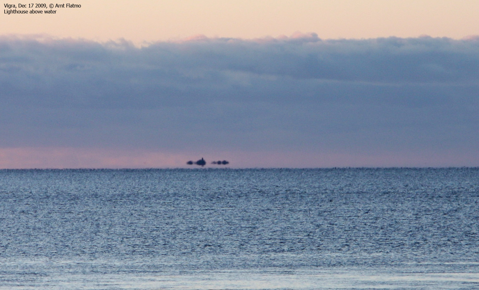
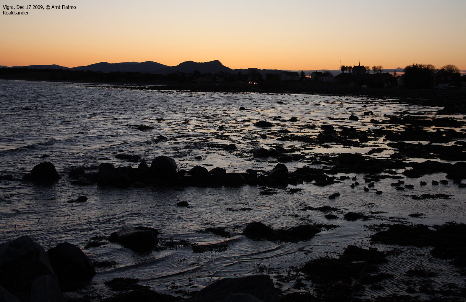
Blimsanden, Vigra, Dec 17 2009

Blimsanden, Vigra
(Click for larger image)
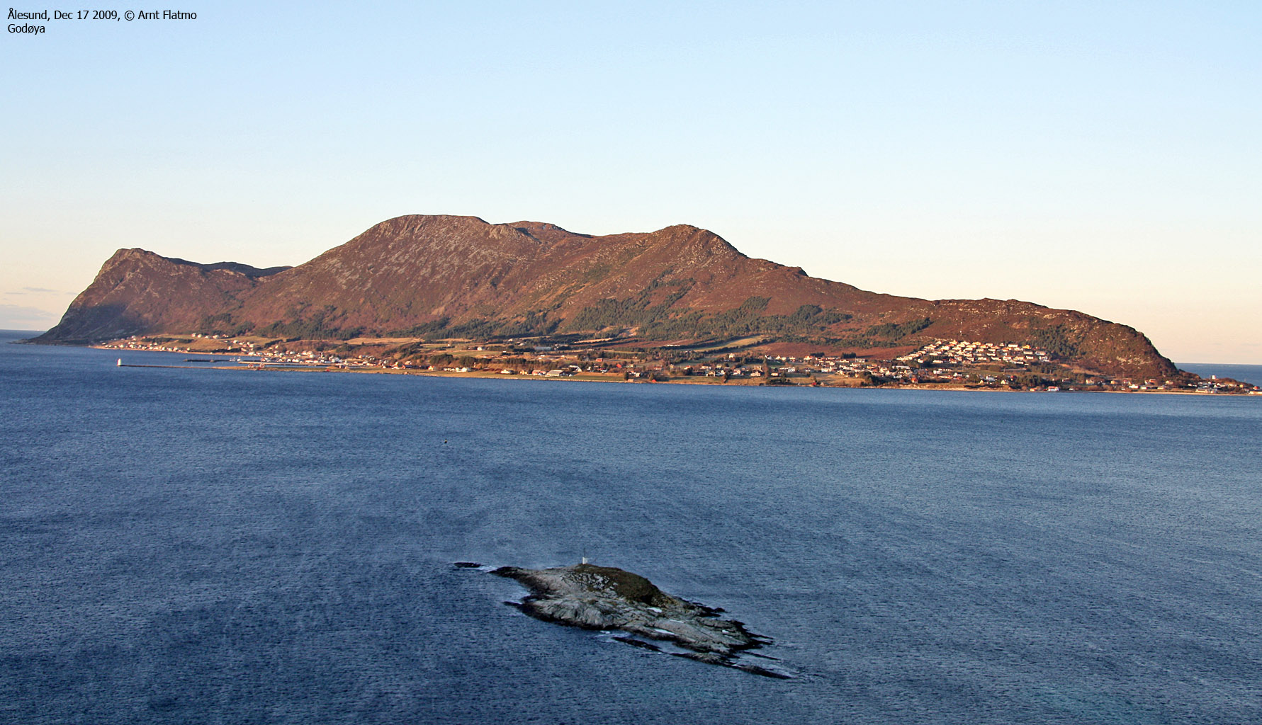
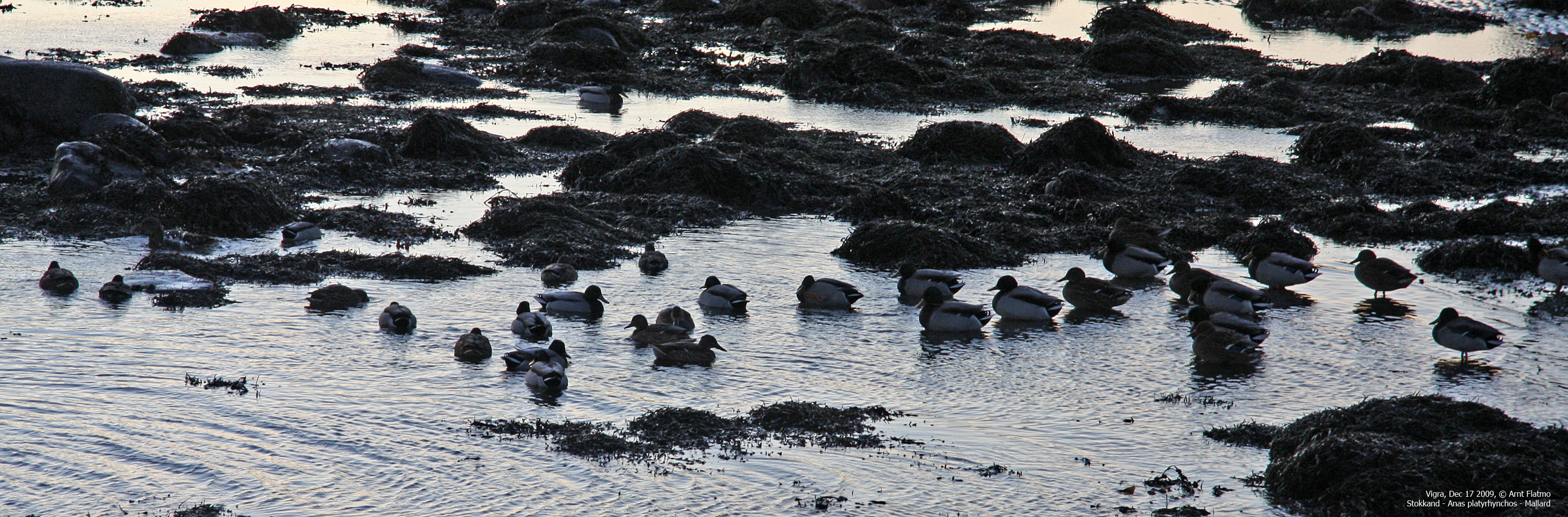
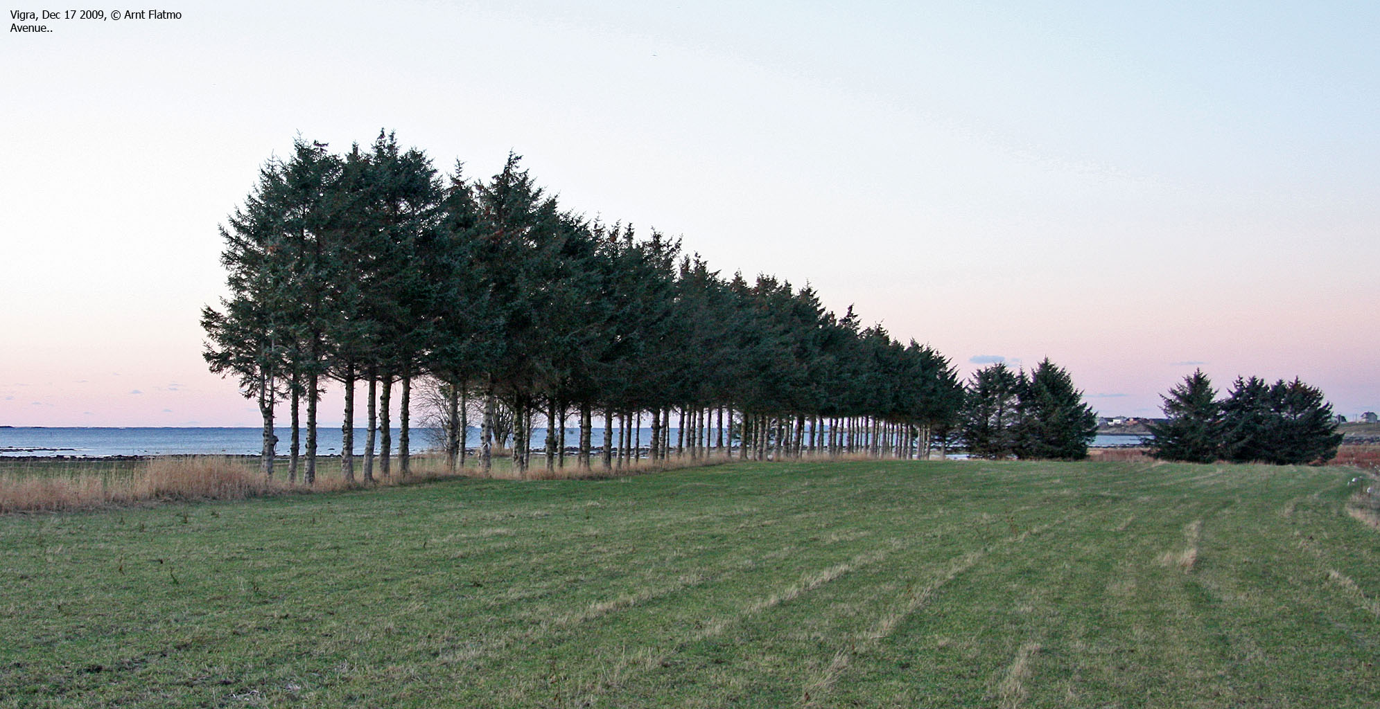
As Anne lived on Vigra for a year, she wanted to see her old turf again. So we drove to Blimsanden. I've never walked on a frozen beach before, so that was a first. It's strange to walk on a sandy beach and NOT leave footprints. We also stopped at Roaldsanden - a place I've visited several times, just to watch the birds.
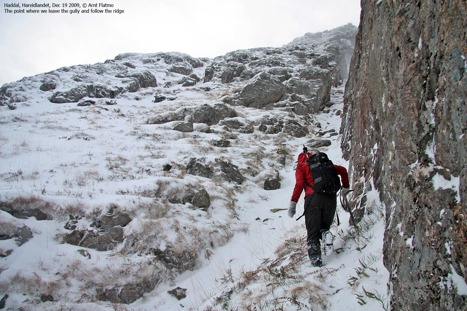
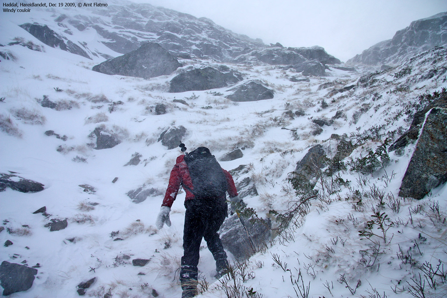
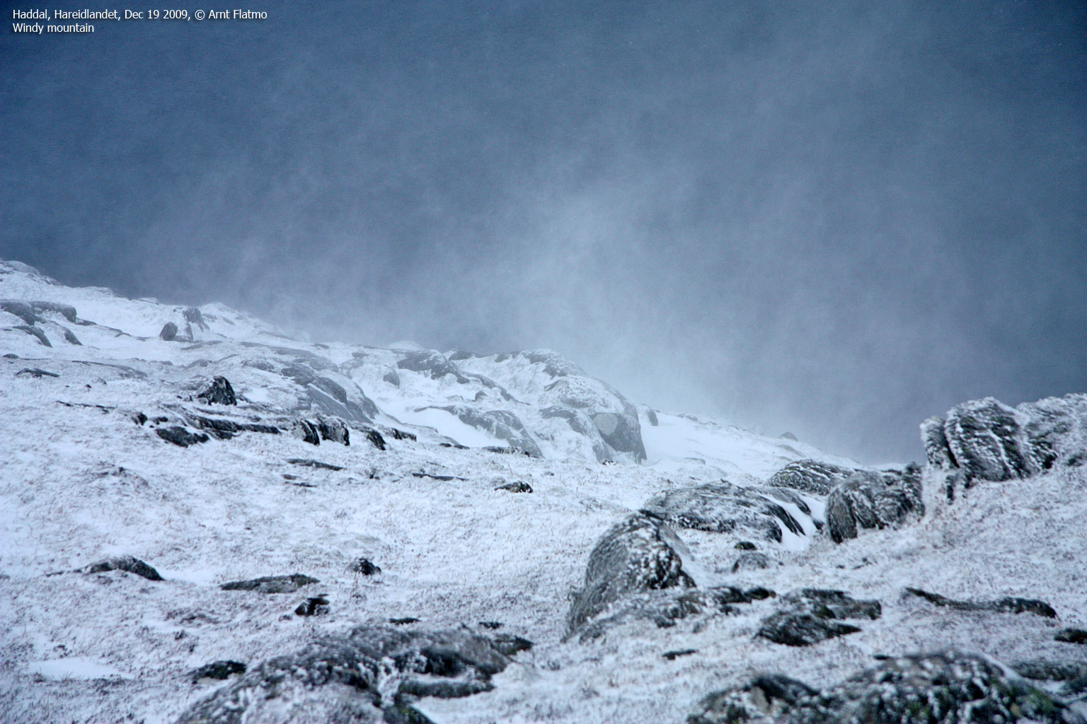
Haddalshornet, Ulstein, Dec 19 2009

On Haddalshornet
(Click for larger image)
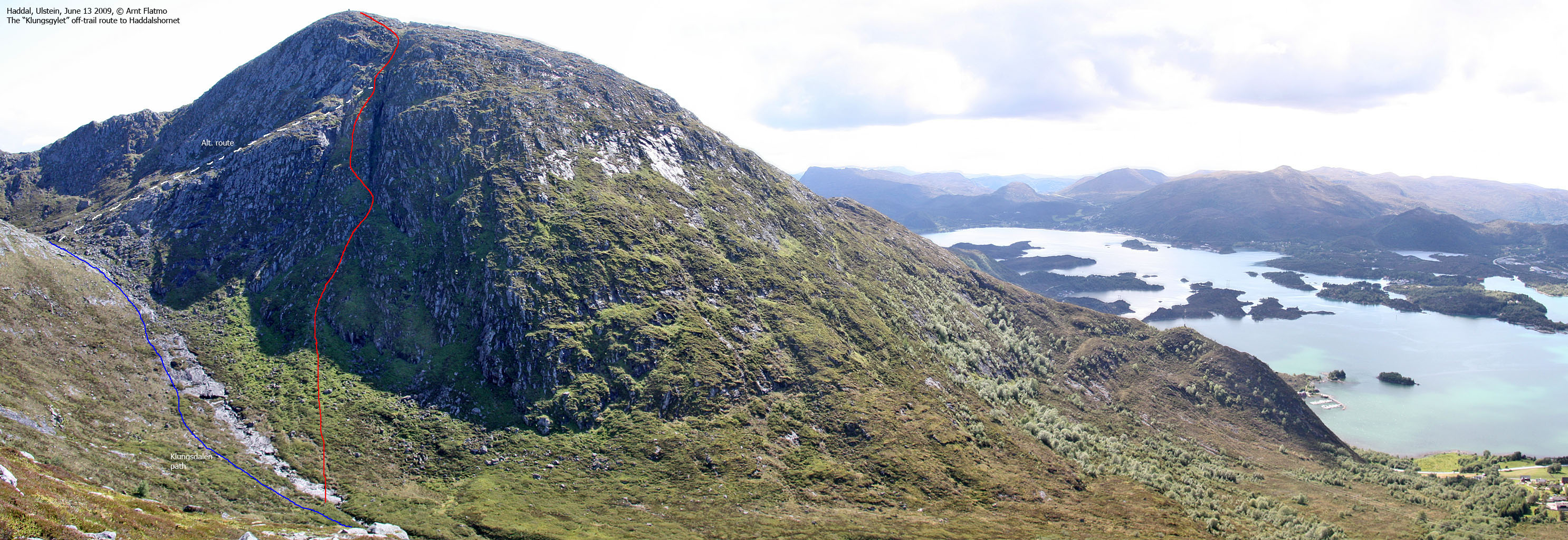
Two days later, we scrambled Haddalshornet on the Klungsgylet/Klungsgjelet route. This is my local substitute for Trollråsa, and I looked forward to show this route to Anne. As I had hoped, she found the route to be quite steep, and the snow added an extra dimension to the hike. It would have been very difficult to ascend this route without ice-axes, and the route's crux demanded two axes for a safe passage. It was quite windy, and even though the summit barely exceeds 600m, it felt like a winter ascent of a proper mountain.
The Klungsgjelet route can be seen on this picture.
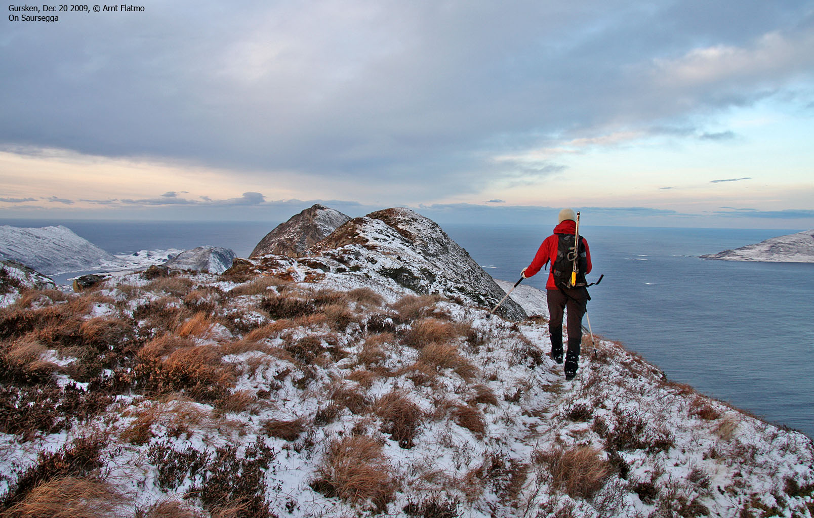
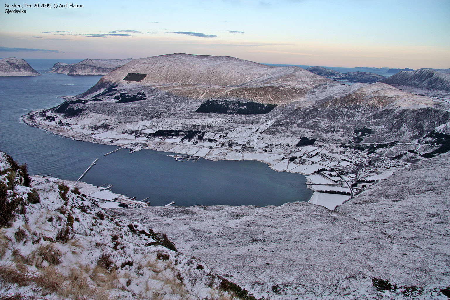
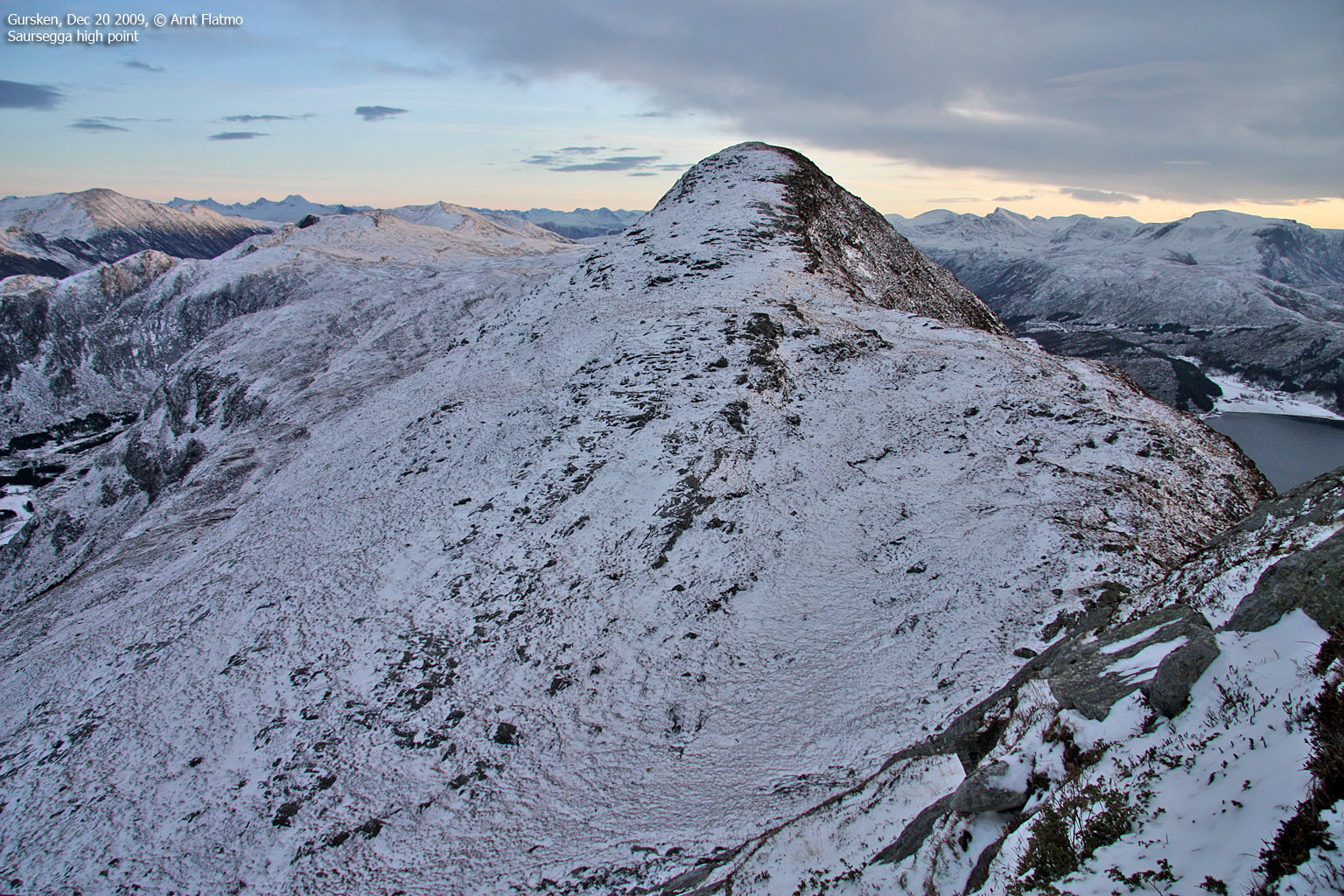
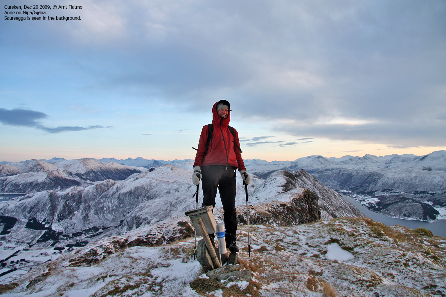
Saursegga & Nipa/Gjøna, Sande, Dec 20 2009

On the way to Nipa/Gjøna
(Click for larger image)
Saursegga and the top Nipa/Gjøna is one of my favourite walks on Gurskøya. The hike from Haugsbygda up to Saursegga isn't so spectacular, but once you're on the the ridge proper, you just might get that wow! feeling. And Anne seemed very pleased about the coastal terrain.
The wind was still very chilly, and we had to dress accordingly. I had considered an approach directly from the Gursken fjord, but with all the ice present in the gullies, the normal route seemed to be the best (and safest) choice.


")
")

")
")

")


