Norwegian Mountains, Møre og Romsdal
From Heglakinna to Sandeskaret, May 3 2009
(This is a trip report only. There is no main page)

For some odd reason - every since the first time I ever heard about the world's smallest independent mountain range - Sutter Buttes (CA, USA), I've been wanting to go there. Some years ago, while being in California, I was about to, but then I discovered there were some private property issues involved. I don't know where this fascination comes from, but this may give a clue as to why I ended up on traversing 5 small tops (none exceeding 100m) on Leinøya island. As the main Sunday walk!
Another clue is that a virus had drained my body of energy, and even the thought of hiking a larger mountain was simply too much. The final motivational factor was that I needed to find out the name of one of the other Leinøya tops. In other words, I would be ringing doorbells again...
As the Sutter Buttes have already claimed this fantastic title, the ridge I had planned to walk would then not be the smallest independent mountain range in the world, although it sure looked that way. I guess it's something in the definition of what a mountain range is....

Arrivinging at Bø, a man was out walking. I decided to take the opportunity to ask about the name of the local mountain top I had been pondering on; "Hello, I've got a question", I said. "You're from the eastern part of Norway, and you're lost?", he replied. If it hadn't been for the fact that he was from the eastern part of Norway too, I might have considered this to be "hostile" reply. But this was a very funny guy. He pointed me to a house where I was guaranteed an answer to my question, but there was a confirmation taking place. I have to admit I was tempted to ring the doorbell (and perhaps even bring the ice-axe) just to give them something to talk about over dinner. But I didn't.
I drove around at Ytrebø, looking for a place to park. In the meantime, the funny man had caught up and I asked him with my finest eastern dialect; "Say, where is the parking house?". No such facilities were to be found at Ytrebø, and he offered me to park on his property. And then I headed for the smallest independent mountain range on Leinøya island..

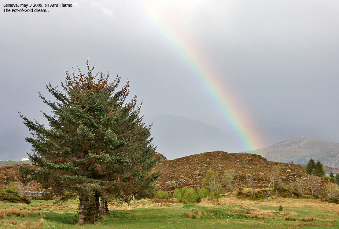
I followed a road and then a path out to Bøneset, before ascending Heglakinna (90m). It started to rain, but just lightly and the wind wasn't an issue at this elevation (..). I was a bit surprised how steep it was between Heglakinna and Brattefjellet (91m)- the next top. In fact, there was only one route I could descend along. There was some more scrambling up to Brattefjellet, although I could probably have found an easier route.
On the way to Husebruna (81m) - the third top - it was raining more. There was no distinct path across this ridge, and this was not the nicest walk I've ever done. The fourth top was Kalskarryggen (76m, also known as Kallen), separated from the neighbour tops by clefts. The rain was pouring down as I descended from Kalskarryggen and began looking for a way up Sjorafjellet (95m, also known as Bautane).
Sjorafjellet was thick forest, but I came over a marked path as I reached the top. I followed this path down to Sandeskaret - the pass between this ridge and the Leinehornet - Leinebjørnen mountain. I was back at Ytrebø after 1h:25m, and a total walking distance of 3,8km. The vertical gain wasn't exactly screamingly high - only 220m.

Then I drove to Sande to ring doorbells. I was looking for signs of someone who could have a relation to the local mountains. I picked my house and rang the doorbell, after checking that the flag pole didn't have a flag up (celebrating confirmation day). The usual scepticism was quickly replaced with smiles, and I got the information I wanted.
This mission had been a success. It was probably this uplifting moment that gave me the energy to also visit Leinehornet - the highest top on the island.


