Norwegian Mountains, Sogn og Fjordane
Heida, 994m
| Fylke/Kommune : | Sogn og Fjordane county/Stryn municipality | ||||||
| Maps : | 1318-IV Hornindal (Statens Kartverk, Norge 1:50 000) | ||||||
| Primary factor : | 144m | ||||||
| Hiked : | Feb 14 2015 | ||||||
| See also : |
| ||||||
| See also : | Other Sogn og Fjordane mountains on westcoastpeaks.com |
Heida and Bergsetnakken

(Click for larger image)
Heida and Bergsetnakken ...
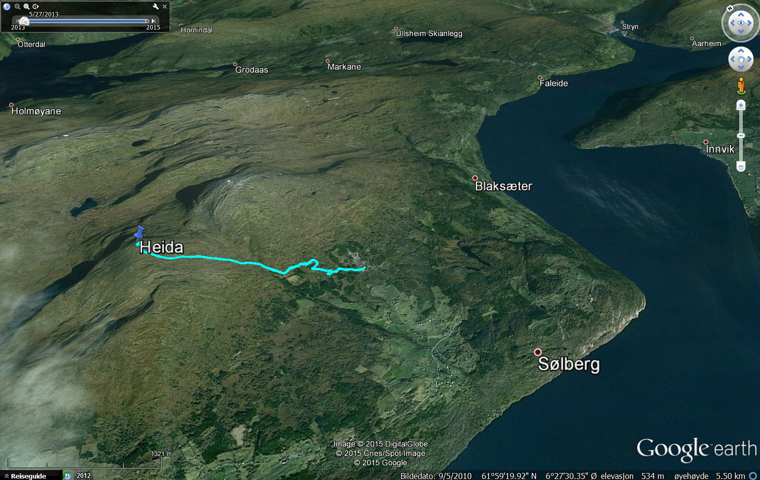
...are two neigbour tops east of Randabygda by Nordfjord. This is great terrain for skiing and you can do both tops on a combined round trip. Below is a route description for a ski-trip to Heida from Vangen Skisenter (skiing centre) and it is easy to include Bergsetnakken and come back the starting point.
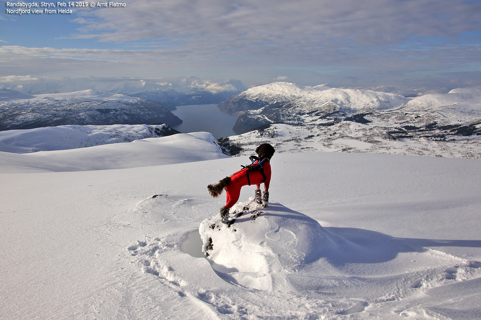
The view from the top is superb, although Glitregga to the north and Bergsetnakken to the west obscure part of the panorama. The view towards the tops across Nordfjord is just superb.
Nordfjord view

(Click for larger image)
Primary factor:
Heida (1,50:000: 994m, Økonomisk Kartverk.: -, UTM 32 V 364575 6862099) has a primary factor of 144m towards the higher parent mountain Bergsetnakken (1133m). The defining saddle (approx. 32 V 365415 6861928) is found in Bubergskaret between the tops.. Ref. the 1:50,000 map (20m contours), the saddle is within the range 840-860m, interpolated to 850m.
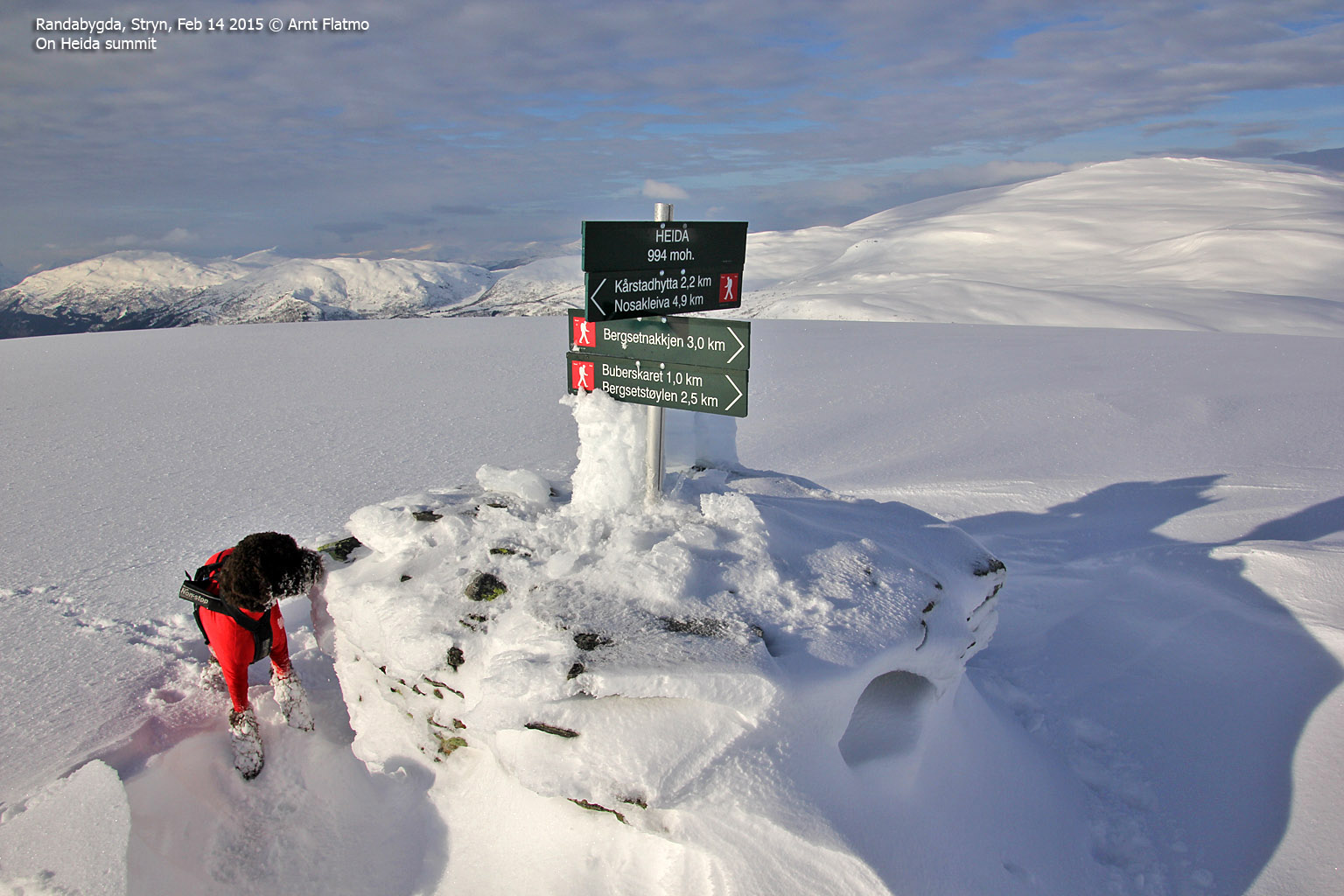
Heida summit

(Click for larger image)
Google map
Google's interactive map. You can zoom, pan and click on the markers.
|
|
Route descriptions
| This disclaimer is regarding all of the literature and instructional guides posted on the westcoastpeaks.com website. These instructions are guidelines only, and should not be used in lieu of common sense or judgment when attempting any of the actions involved or instructed. Westcoastpeaks nor myself will not be liable nor will it indemnify any form of compensation to anyone who has injured, harmed or even killed themselves or others while following any of the instructions written within the website. It should be noted by any persons willing to undertake any of the instructions provided that mountains offer varying levels of risk, regardless of size or incline. Risks to be considered are as follows but not limited to: wild animals, weather, the terrain, bad judgment, inappropriate or insufficient equipment, improper training or experience and of course, bad luck... |
|
Route 1: Vangen Skisenter - Heida (winter)
|
|
This route description is valid per Feb 2015
Access
(all distances are approx. distances)
The starting point for this route description is Vangen Skisenter. You can get there via road RV13 from Faleide (east - near Stryn) and Lote (west).
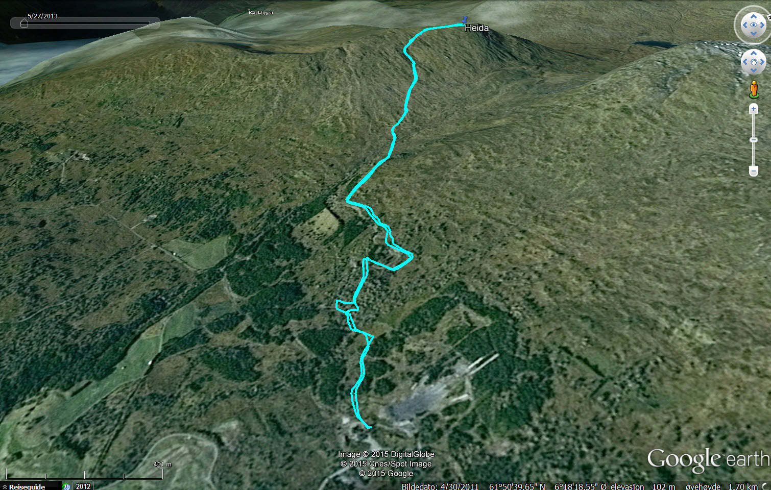
The skiing route from Vangen Skisenter to Heida

(Click for larger image)
From Vangen Skisenter, follow the mountain road towards Bergsetstøylen. It is not signposted, but it is the road that goes uphill from the parking. After 1km, you reach the first cabin. Follow the road to the westernmost cabin and follow Bergsetelva for a little while before you cross it and keep a northwest course to the top. The summit has a cairn and a signpost.
Descend your ascend route or visit Bergsetnakken also. From Bergsetnakken, you can descend south across Lyhamrana and return to Bergsetstøylen.
Area overview

(Click for larger image)
Pictures and Trip reports:
- Heida on skis, Feb 14 2015
 westcoastpeaks.com
 Other Sogn og Fjordane mountains
 Other Norwegian mountains


