
Norwegian Mountains, Møre og Romsdal
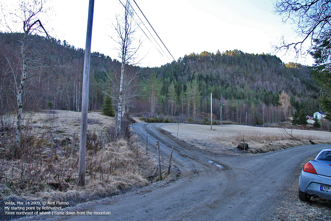
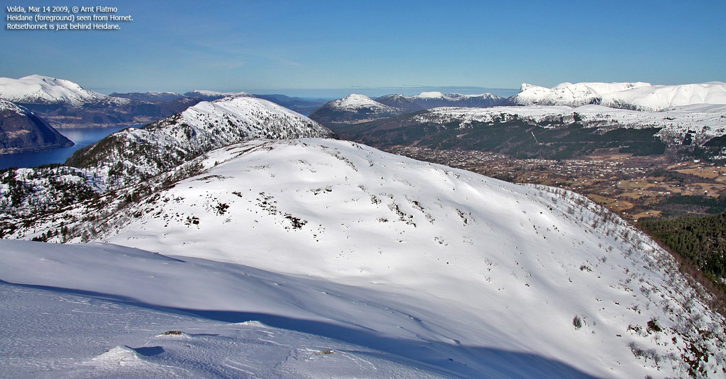
Hornet & Heidane from Rotevatnet, Mar 14 2009
To the main Hornet page (maps, route descriptions, other trip reports, etc.)

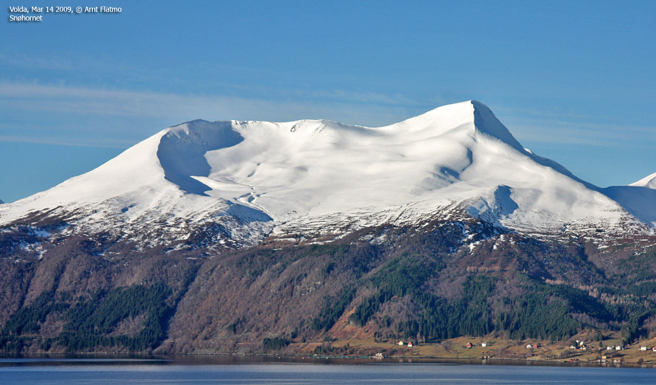
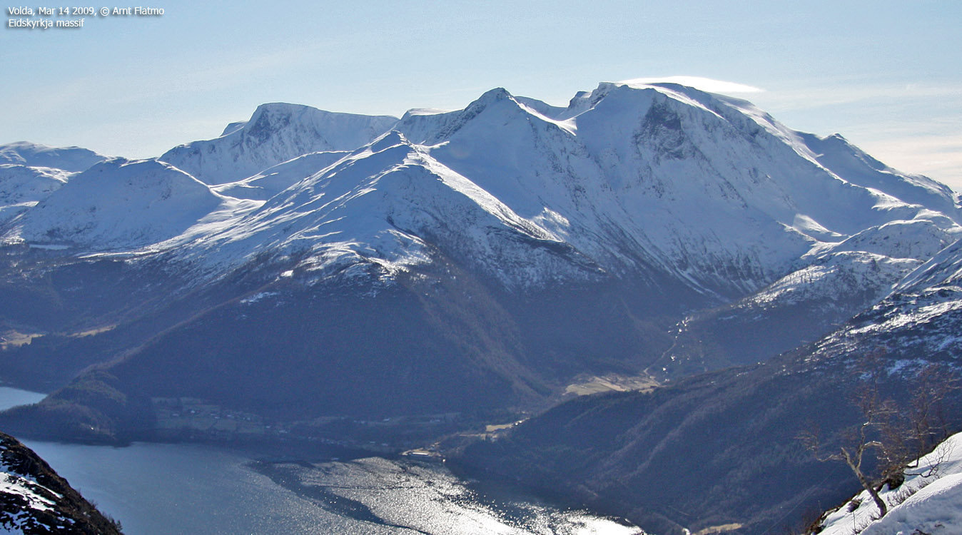
Saudehornet (Ørsta) in the morning
(Click for larger image)
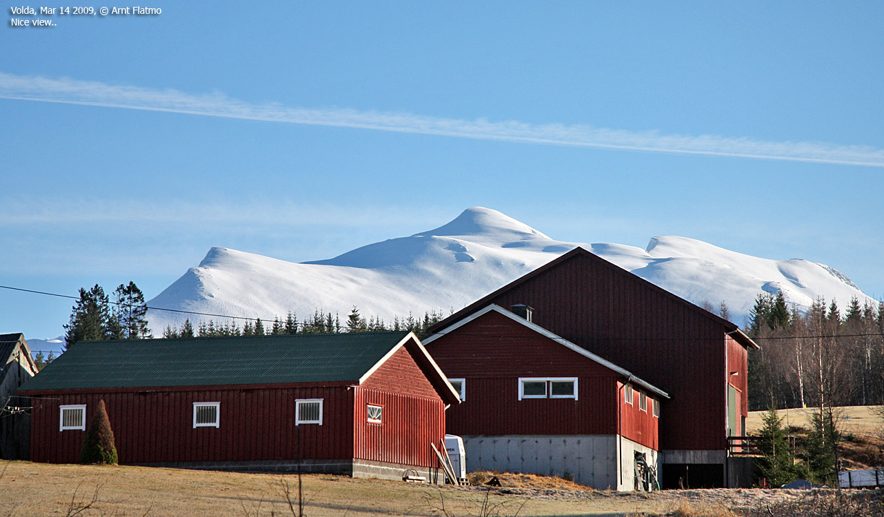
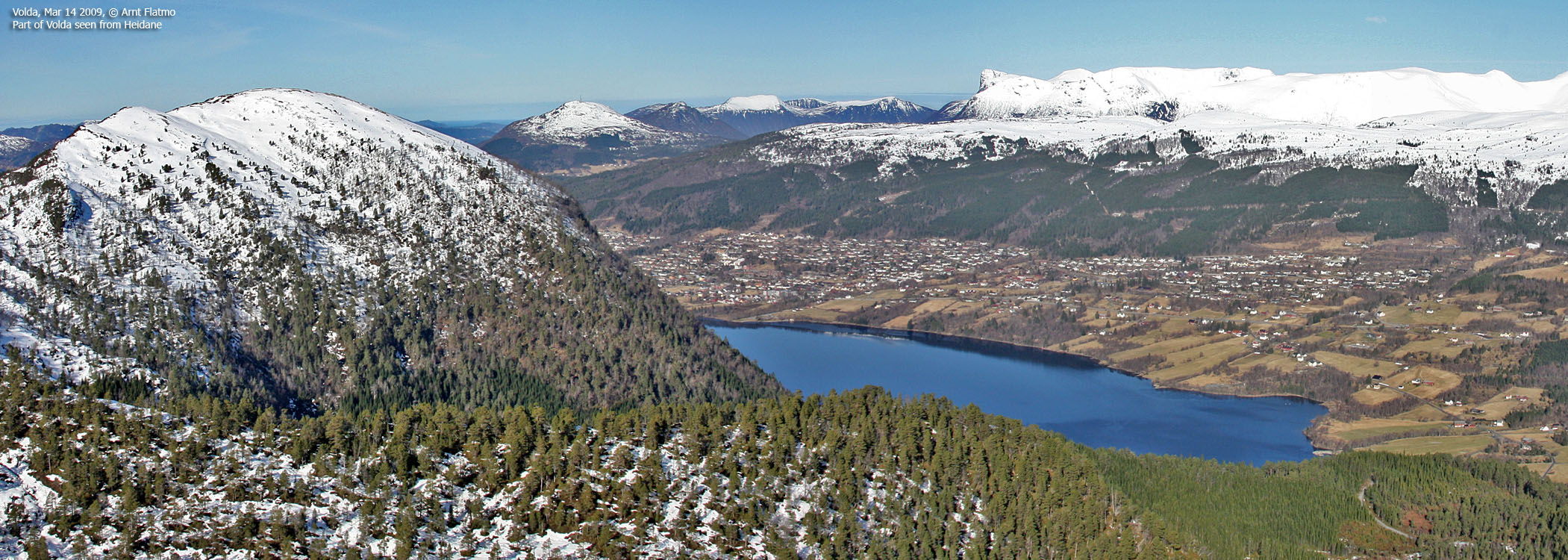
Mar 14 2009 was a gorgeous day, and I was on standby duty. Which meant that I was committed to a certain response time in case of a problem at work. Armed with a computer in the car and the knowledge that Hornet could be descended within the response time, I decided to complete the list of tops between Volda and the Vatnetdalen/Aldalen road. Normally, I stay in the local region during standby duty, but this kind of weather voids normal practice. After all, this was March, and we're not spoiled with good weather in western Norway. .
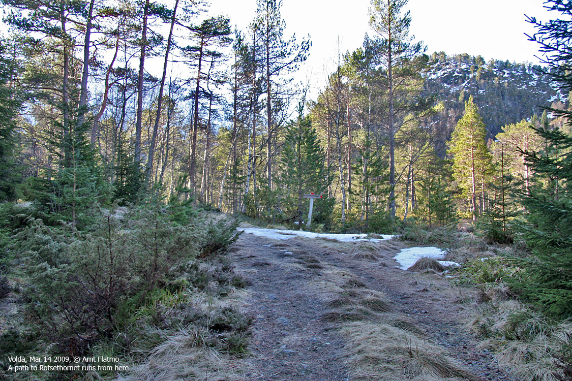
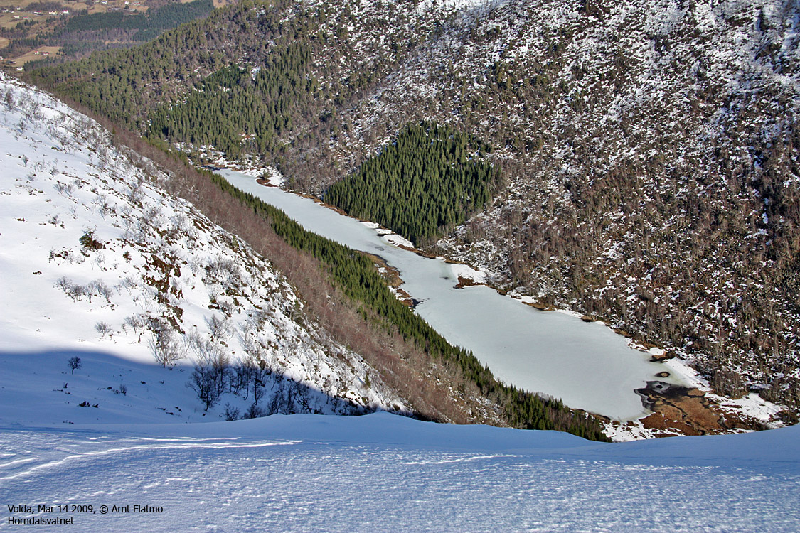
I didn't know much about Volda back-country, so I let the GPS lead me to something that looked like a forest path in the direction of Horndalsvatnet. It didn't take me long to lose the path, but I continued and hoped that something good would present itself.
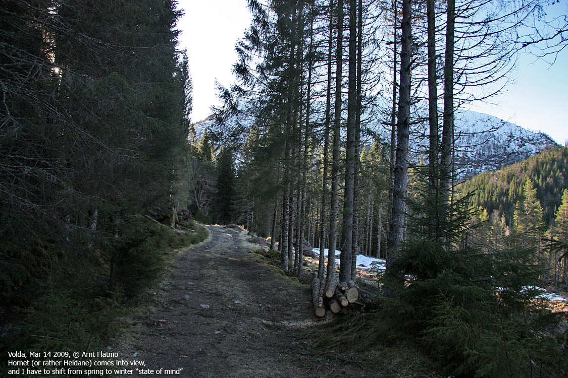
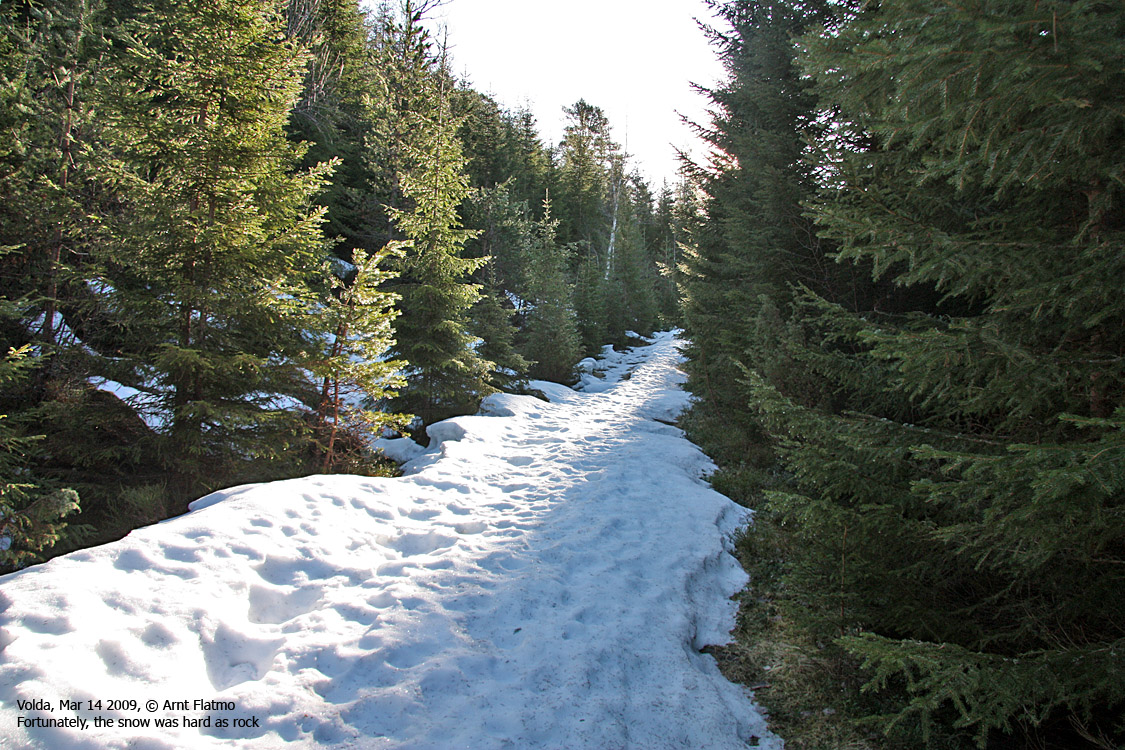
Something good turned out to be a bridge leading me onto a fine forest road. Aha! Surely the main forest road in the Volda back-country. At first, the road was free of snow, and then it became packed with hard snow that carried my weight. All the way to Horndalsvatnet.

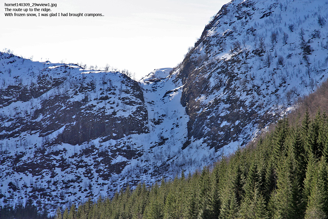
The route from Horndalsvatnet
(Click for larger image)
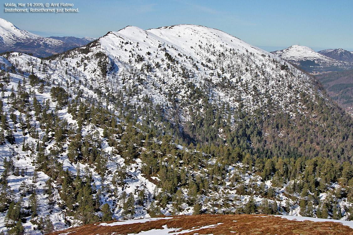
Arriving at Lake Horndalsvatnet, I was struck by the route up to the ridge above. It seemed hilariously steep. At last, it seemed that the crampons that I've been carrying around would come to good use. But first, I had to make it to the other end of the lake. The GPS said there would be a path, but I couldn't find it. Fed up with dense forest, I went down to the lake instead. But the ice on the lake was absolutely not trustworthy and I had to get back into the forest. Fortunately, I found the path and got to the other end without much more trouble.
As the snow was hard as ice, I had to use crampons to get up the steepest part towards the ridge. In the very second that I met sunlight, the snow was soft as butter. It didn't matter, though. The plod up the southeast ridge was 99% joy, and 1% effort.
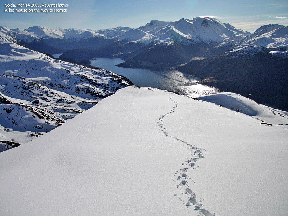
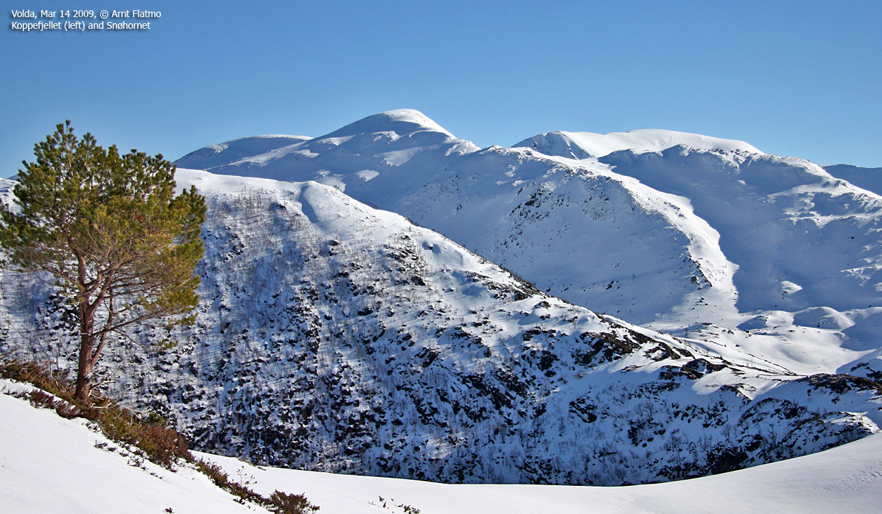
On the way to Hornet
(Click for larger image)
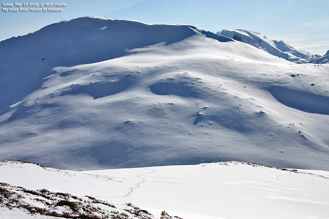
I arrived on Hornet summit 11:15am, 1h:45m after heading out. Everything was just great. The weather, the views, the temperature and the silence from my cell phone. After a short (but nice) stay on top, I moved on towards Heidane.
The top of Heidane was reached 11:36am, and now I had to determine how I should descend this mountain. With snow, the paths wouldn't do me any good, so I headed straight for Lake Dalstjørna. This short-cut was a steep one, but I found a good route down to the lake, and was now below the snow.
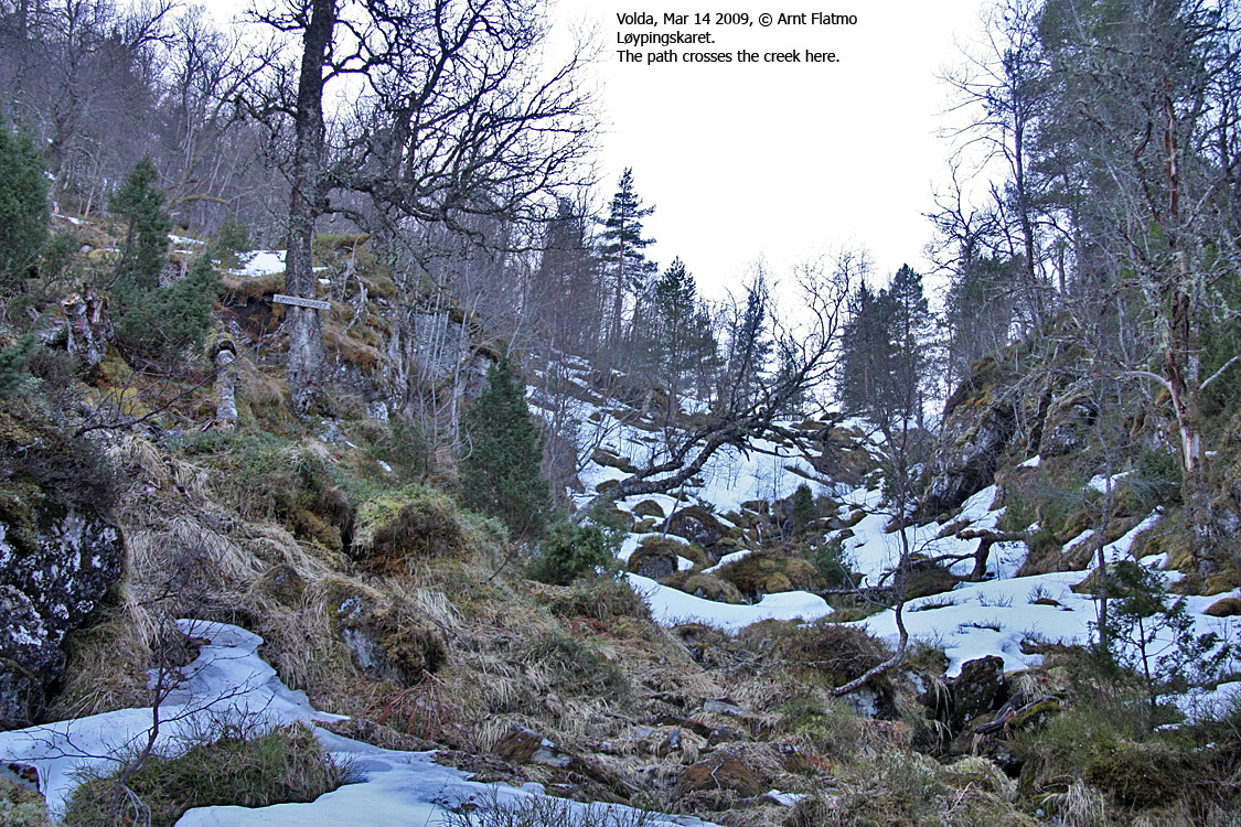
I found the path in this valley and followed it back to the forest road I was on earlier. I decided to follow it all the way down, just to see where it would take me. The road took me to the main road by Lake Rotevatnet, and my trailhead was only 700m to the northeast.
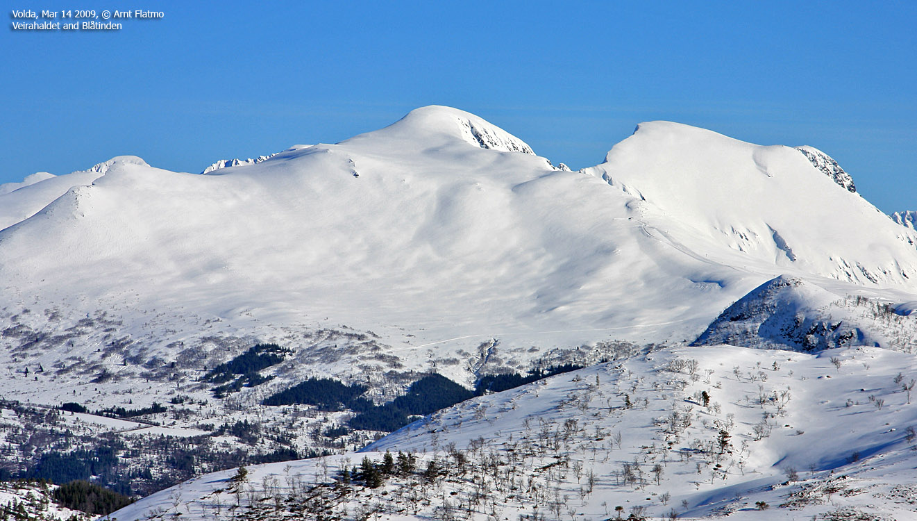
Veirahaldet & Blåtinden
(Click for larger image)
Trip facts:
The hike was 9,1km with a vertical gain of 700m and took me 3h:10m.


