
Norwegian Mountains, Møre og Romsdal
Kiberget & Breifjellet, Apr 21 2008
To the main Kiberget/Breifjellet page (maps, route descriptions, etc.)

Nice view from Kiberget
(Click for larger image)
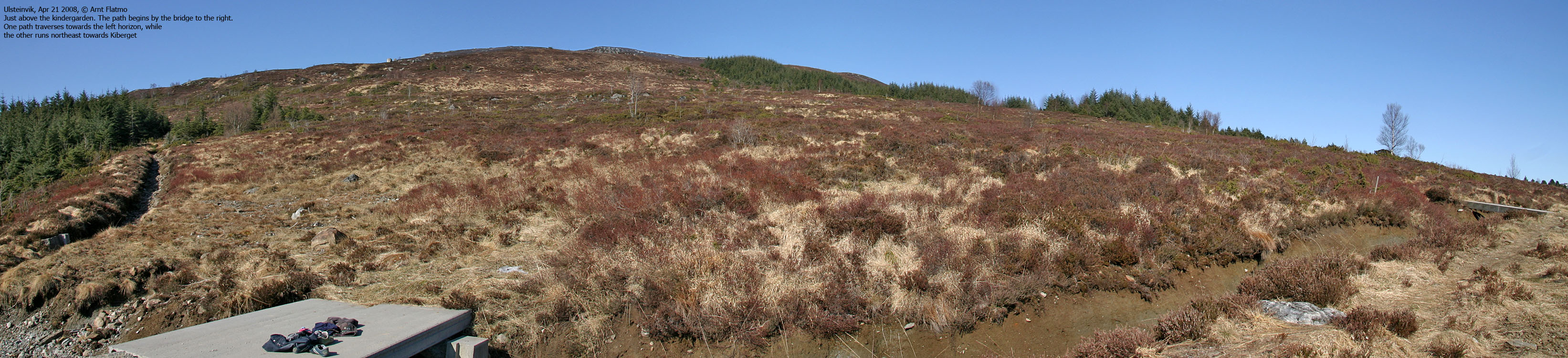
and Breifjellet was quite an uneventful walk. But that can be ok sometimes. The view towards the Ørsta peaks is actually an event in its own right. I had some problems finding the trail head and asked around. A woman took pity on me, and insisted that she would drive ahead and show me the way. At the parking lot, she wanted us to walk up a gravel road in order to show me the path. Thankful as I was, I feared she might insist to guide me up the mountain too...
Kiberget
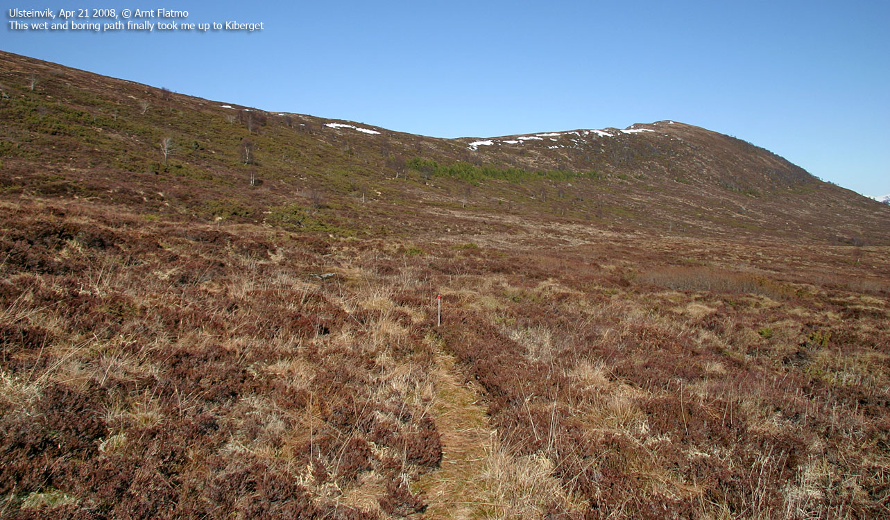
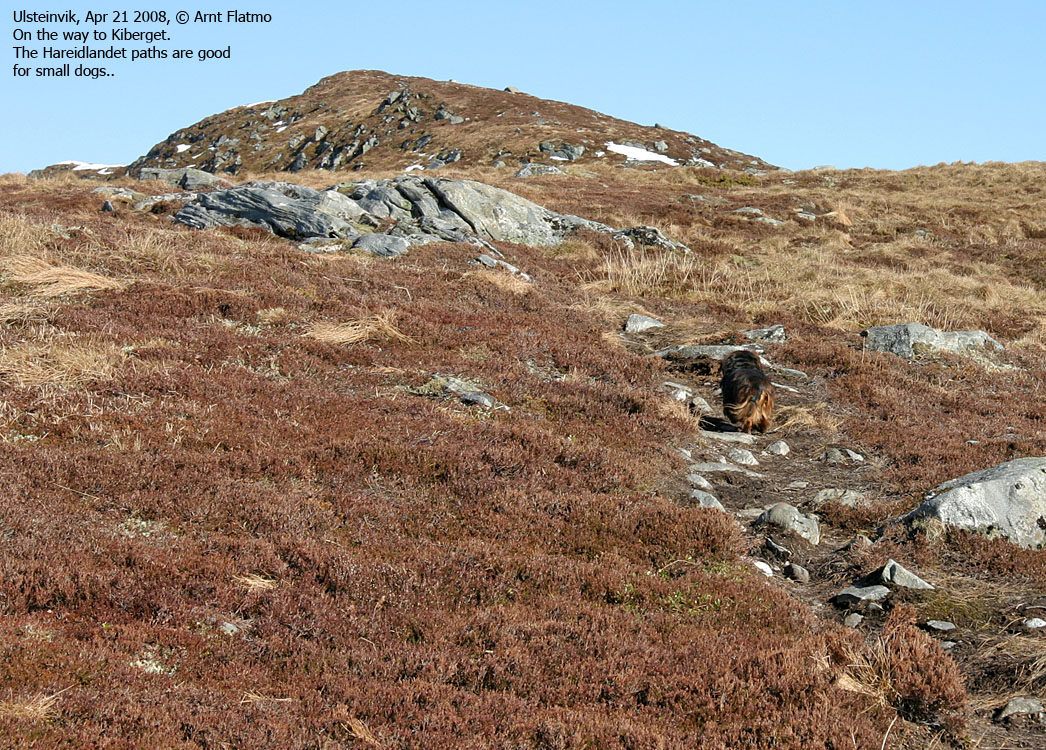
16:25PM, I headed out from the trail head below Lågskjervene. It was a beautiful day, but the path was long, muddy and a bit boring. My dog Troll and I discussed the possibility for him to walk a bit, but the conclusion was that he would ride in the backpack. At least until we found a dry and gentle ridge. Half an hour later, we arrived on the ridge. It was gentle, but only a short section dry. Anyway, Troll insisted to battle with rotten snow. He's a brave soul..
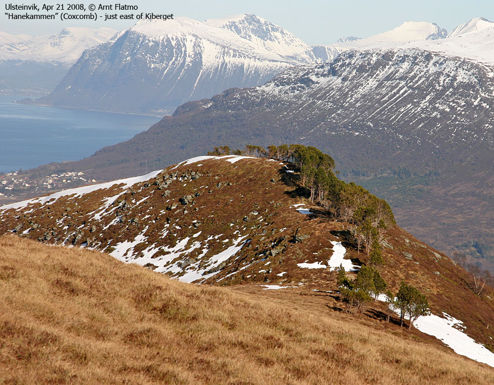
We reached the high point 17:13PM. The air was crystal clear and the Ørsta peaks were as pretty as they get. Another hiker arrived on the top and we chatted a while before I moved on.
Breifjellet ..
was a really boring experience. I couldn't determine whether the meadow in-between was bog or a lake with floating turfs on top. Once on the ridge to Breifjellet, there was no path. Just soft turfs. I continued hastily across the top (18:03PM) and descended in the direction of the Lågskjervene viewpoint, where I picked up a path. Further down, I took a wrong turn in a trail fork and was on my way to some place west of trail head. That would have been fine, had I not determined that I wanted to be on the 19:00PM ferry. After a quick short-cut across another annoying meadow, I was back at the trail head 18:31PM - in good shape for the ferry.


