
Canary Islands, La
Palma
"La Ruta de los Volcanes"
Pico Birigoyo (1807m)
Montaña la Barquita (1809m)
Montaña de los Charcos (1852m)
Pico Nambroque (1922m)
Hoyo Negro (1936m)
Montaña Del Fraile (1908m)
Volcan de la Deseada (1945m)
Montaña Los Bemejales (1875m)
Volcan Cabrito (1859m)
Caldera del Bucaro (1694m)
Volcan de San Martin (1597m)
Montaña Pelada (1441m)
Jan 1 2015
To the main La Palma page (General
La Palma hiking information)

La Ruta de los Volcanos
(Click for larger image)
A must-do hike
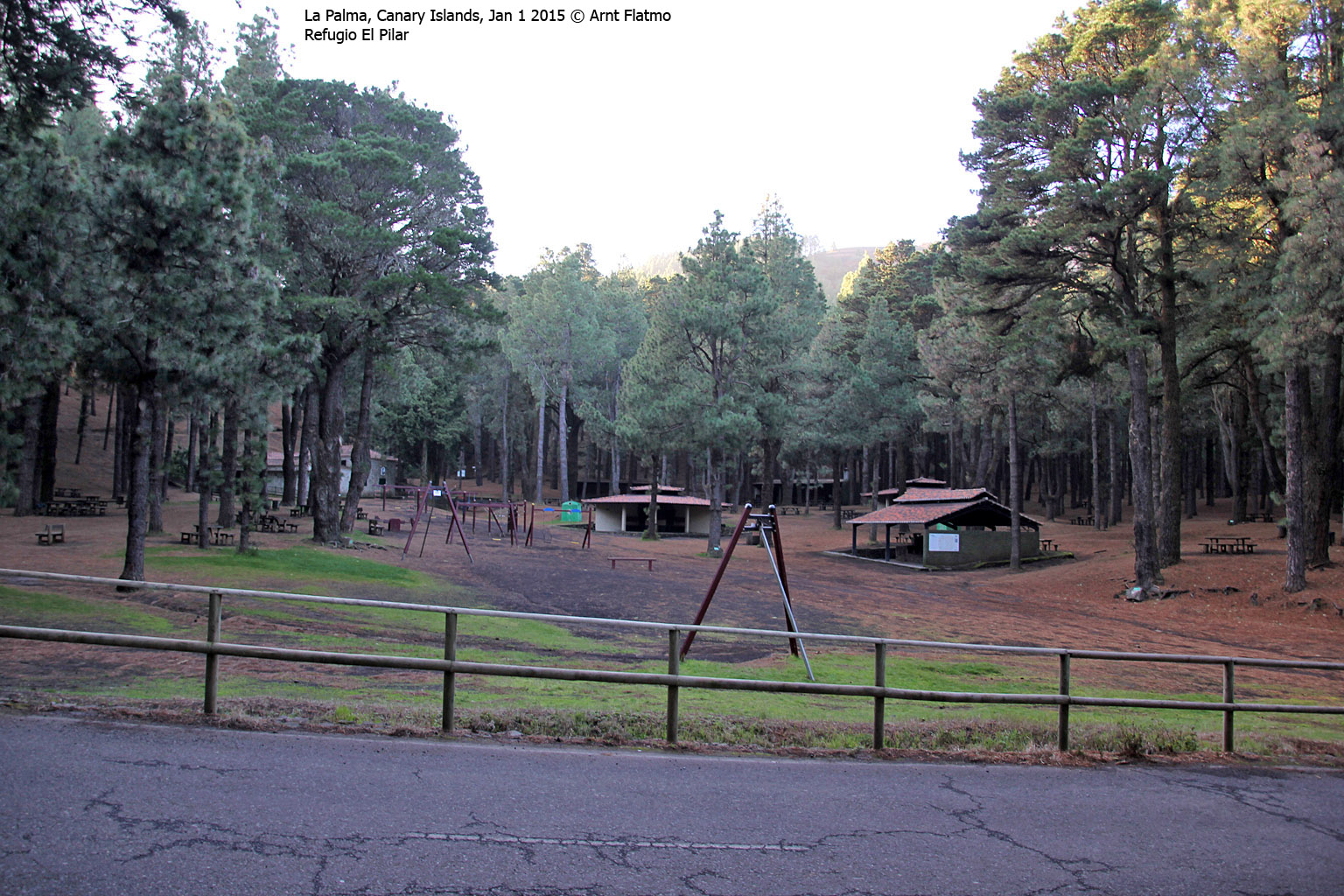
If you ever go to La Palma for hiking, La Ruta de los Volcanes is a must-do hike! The 17,1km route runs through an area with a number of volcano tops - between Refugio El Pilar and Fuencalente (Los Canarios). The route across the most significant tops extends the distance with approx. 4km.
The easiest way to go is to start at Refugio El Pilar (approx. 440m) , as the route gradually descends towards Fuencalente (approx. 720m). And this is the route that Anne and me followed.

La Ruta de los Volcanos
(Click for larger image)
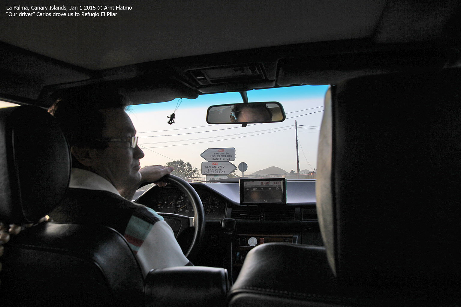
2015 Kick-off
Anne and me decided to kick off 2015 in a proper way; La Ruta de los Volcanes! A classic route that looked absolutely fantastic in Google Earth. To ensure that we were good and ready for this, we went to bed at 10pm on New Year's evening. I know, that sounds ... yeah. But that's the way it was and when our driver Carlos (from the Roque de los Muchachos trip the day before) picked us up 8am on Jan 1st, we were indeed good and ready...
We chose taxi because bus services on Jan 1st were scarce or non-existing. At 9am sharp, we arrived at Refugio El Pilar and quite frankly - we didn't expect to see any other hikers on this trip.

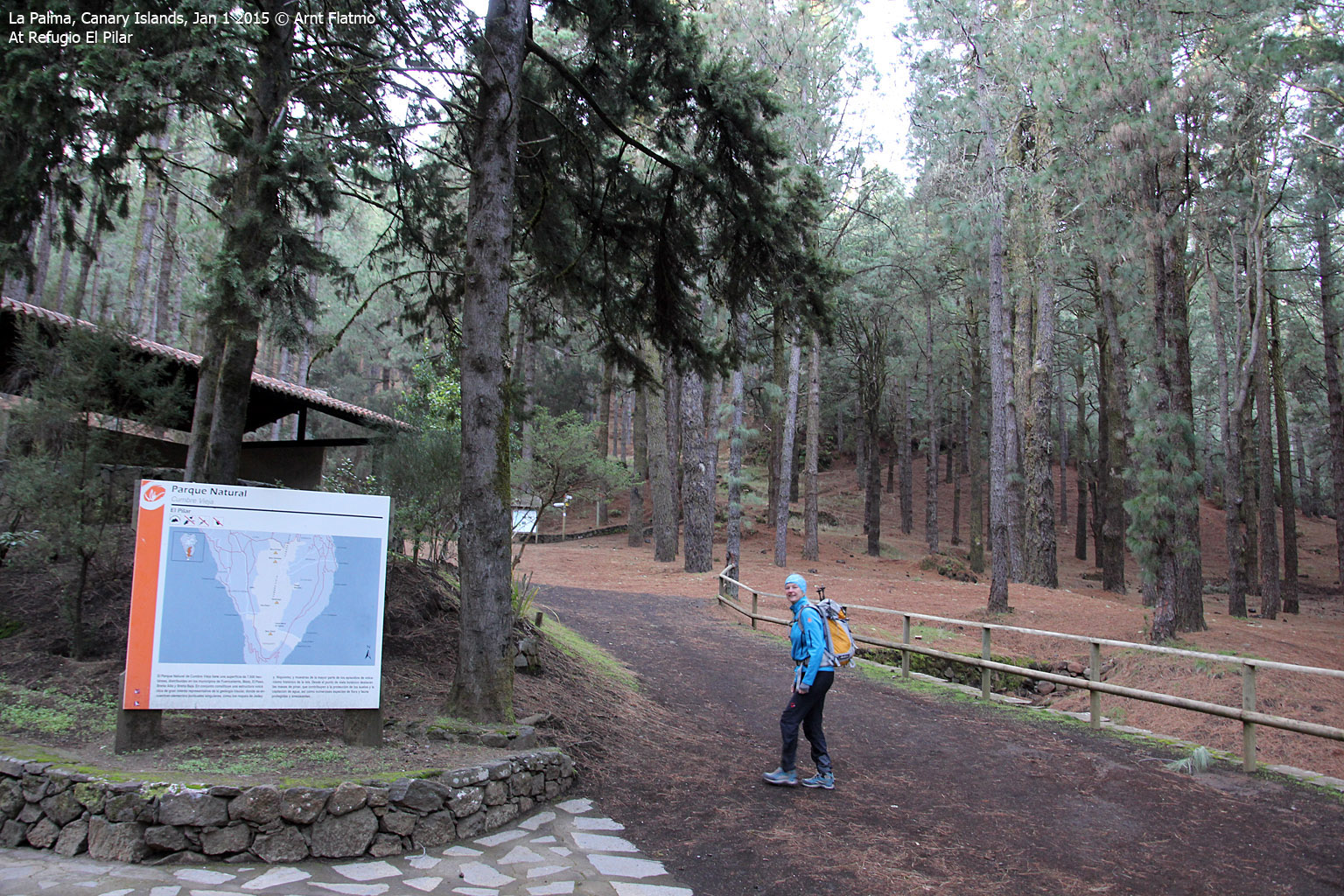
Anne is good and ready at Refugio El Pilar
(Click for larger image)
Pico Birigoyo and Montaña la Barquita
After 1,6km on the main trail, we got to a signpost that pointed to Pico Birigoyo (1807m). After all, we were not here for valley hiking so the decision to turn left was quite easy...
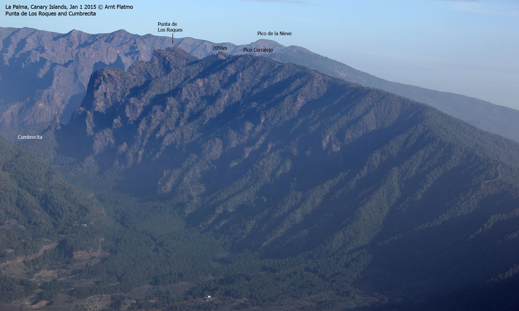
At 9:48am, we reached our first top, and had excellent views towards Caldera de Taburiente in the north;

On Pico Birigoyo
(Click for larger image)
After some pictures, we continued 0,7km along the volcano ridge to the slightly higher Montaña la Barquita (1809m - 10:02am). Given the fact that the map height for the next pass was 1706m, we could now claim our first top with 100m primary factor (PF) for the day...
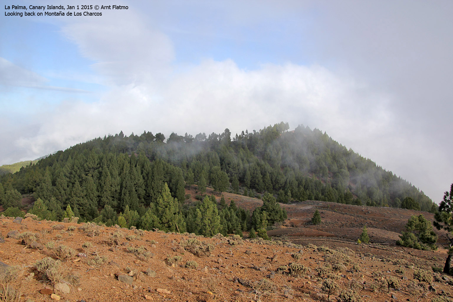
Montaña de los Charcos
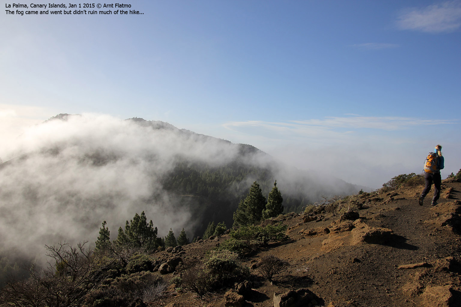
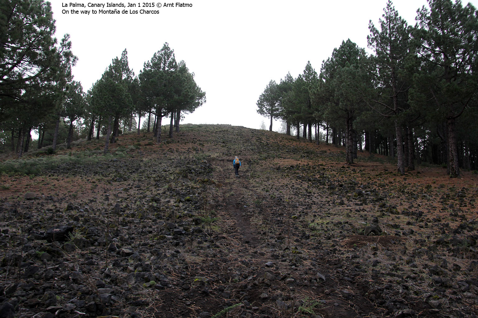
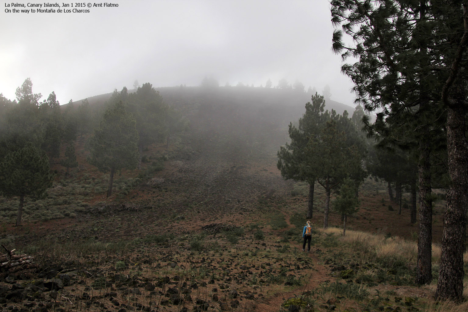
Our next goal was Montaña de los Charcos (1852m - 10:36am) - yet another minor top along the route. First we hiked 0,6km down to the 1706m pass, then 1km up to the main top - passing point 1815m along the way. Fog was now moving in and the wind was considerably colder and stronger. But even with occasional fog, the trip was still fantastic!

On the way to Montaña de los Charcos
(Click for larger image)
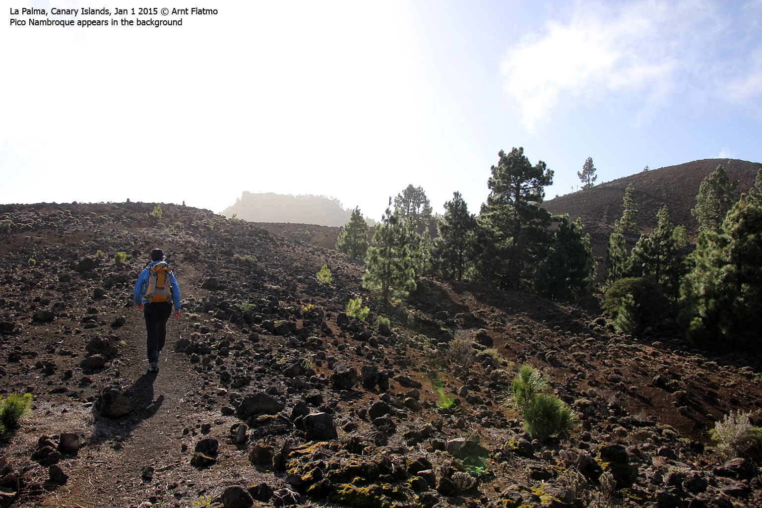
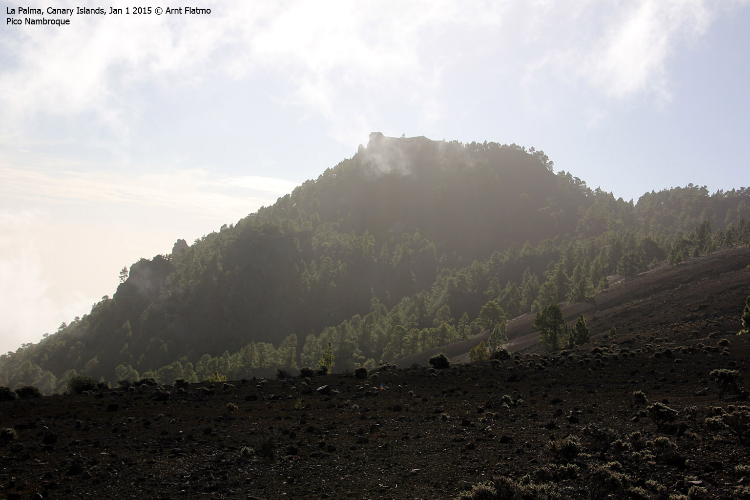
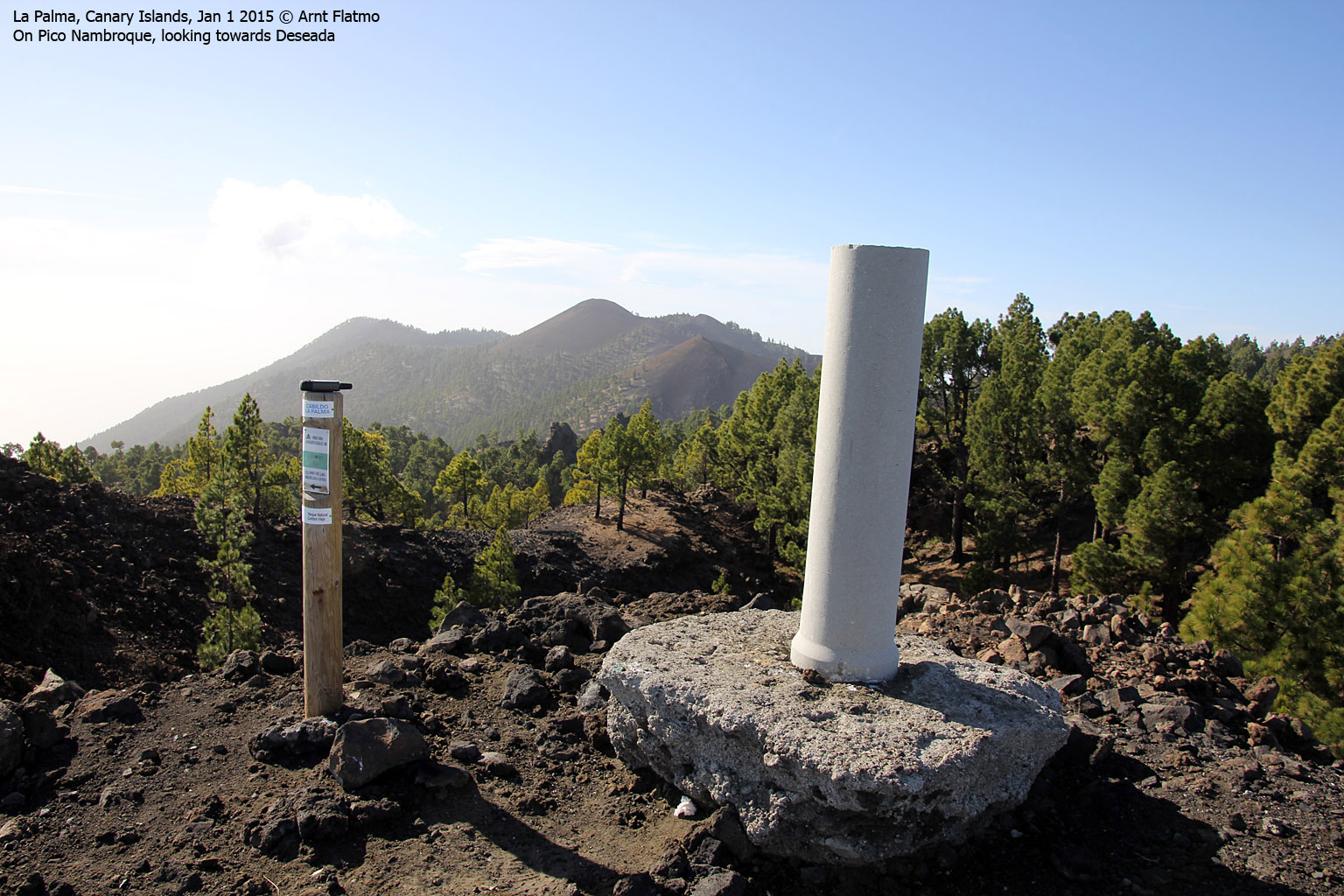
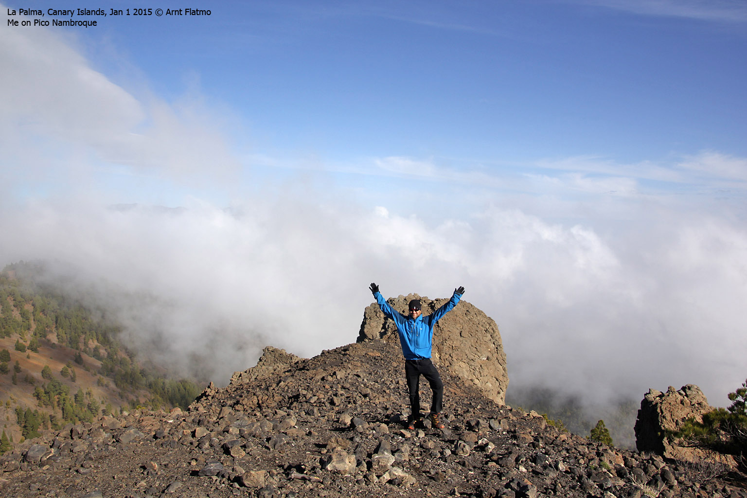
Pico Nambroque and Hoyo Negro
The landscape was gradually getting more interesting and now were on our way to the highest tops along the route - Hoyo Negro (1936m) and Volcan de la Deseada (1945m). After descending from Montaña de los Charcos, we joined the main trail and had two other hikers ahead of us.
Near Hoyo Negro, I took a detour and visited Pico Nambroque (1922m - 11:07am - and a minor top). Anne decided to sit this one out. The 0,9km detour took me 13 minutes and along the way I got the impression that the hill behind Anne was higher. And according to the map, I was right - 1936m. There was however no name, so I decided to call it Hoyo Negro - from the crater. After all, the high point was found along the crater rim.
With the next pass being 1835m (map height), Hoyo Negro was the 2nd top that had 100m PF. What a great start of the new year for peak baggers!

Hoyo Negro crater
(Click for larger image)
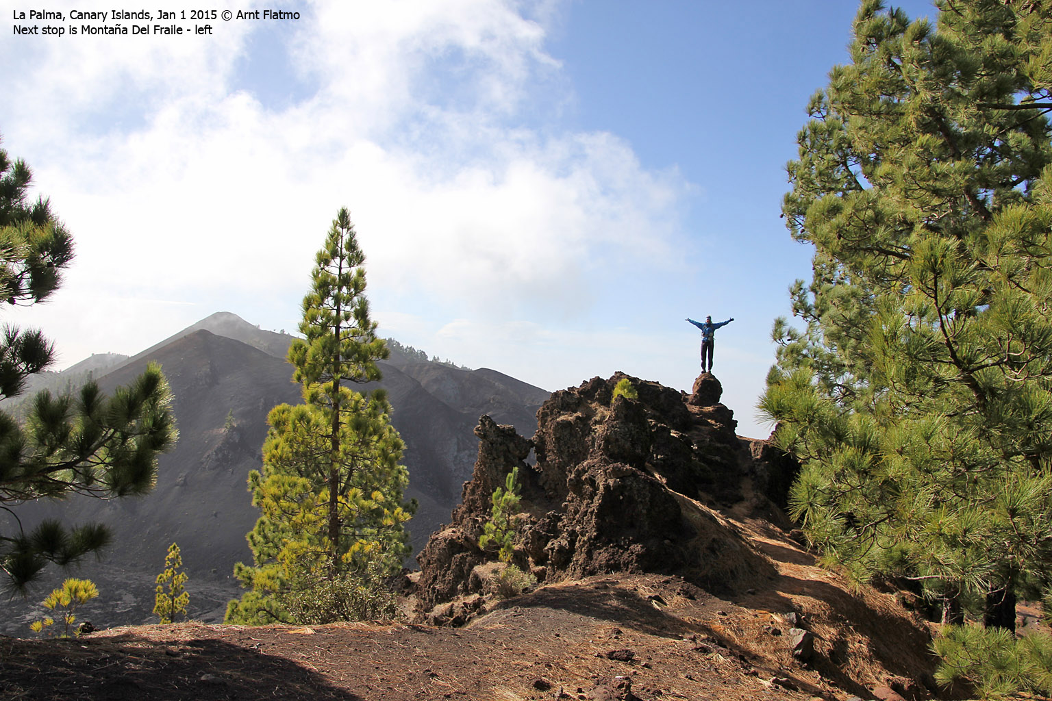
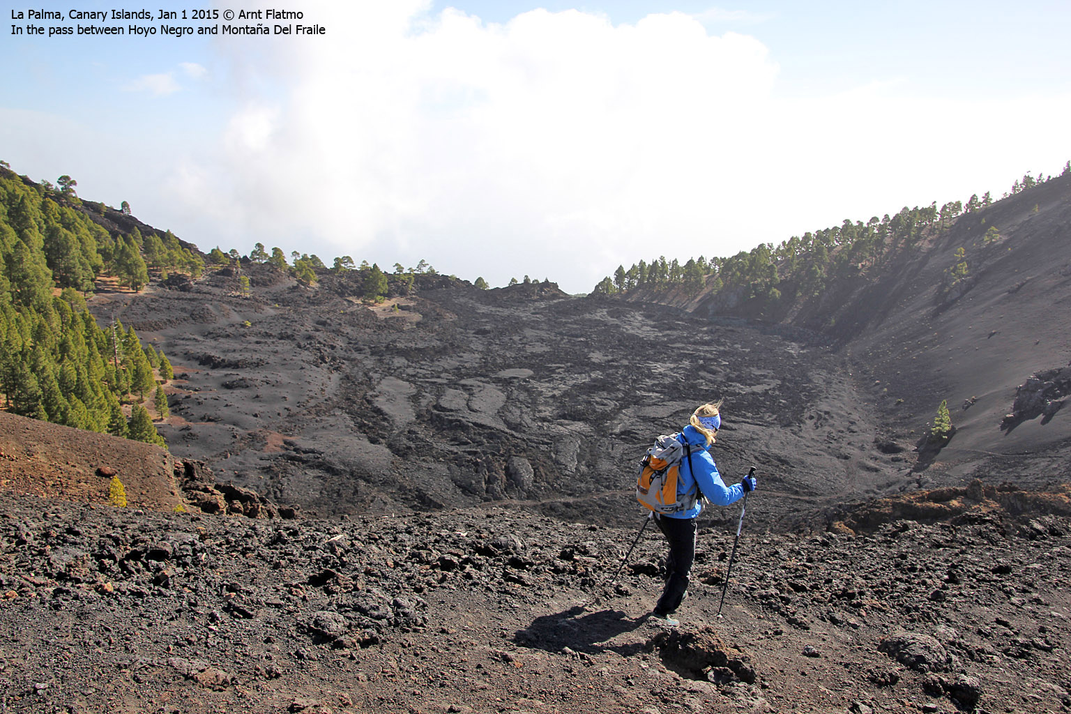
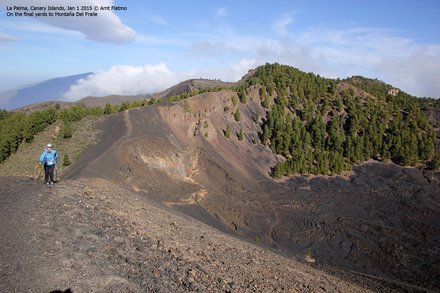
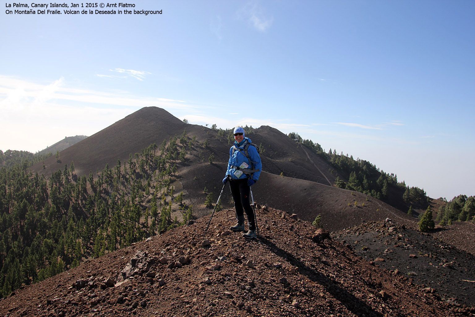
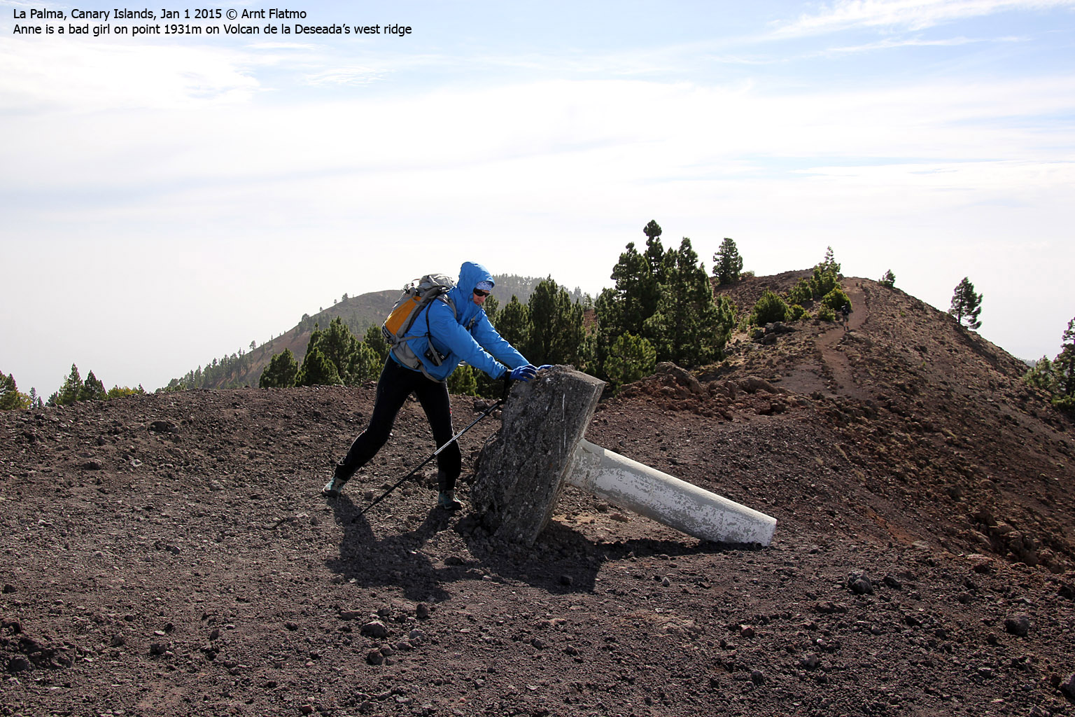
Montaña Del Fraile and Volcan de la Deseada
The landscape now got a bit "rougher" and we saw some awesome contrasts between lava and forest. The first top (yet another minor one) was Montaña Del Fraile (1908m - 11:51am). In order to reach the top we had to take another detour from the main route.

Montaña Del Fraile
(Click for larger image)
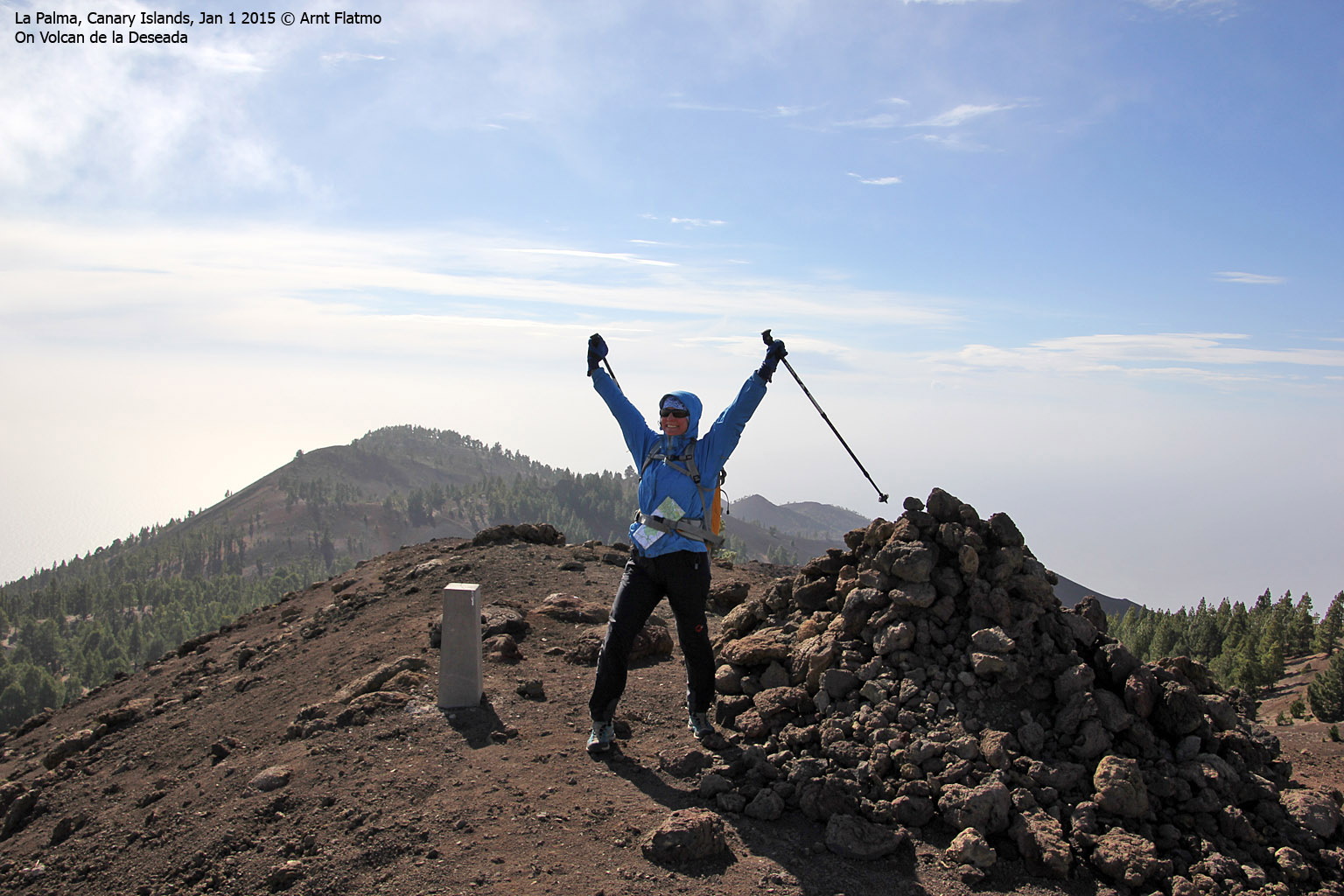
Just "up the road" was Volcan de la Deseada (1936m - 12:06pm) - the highest point along the entire route. The primary factor was approx. 579m as the PF saddle is point 1366m - just south (and above) the LP-3 tunnel.
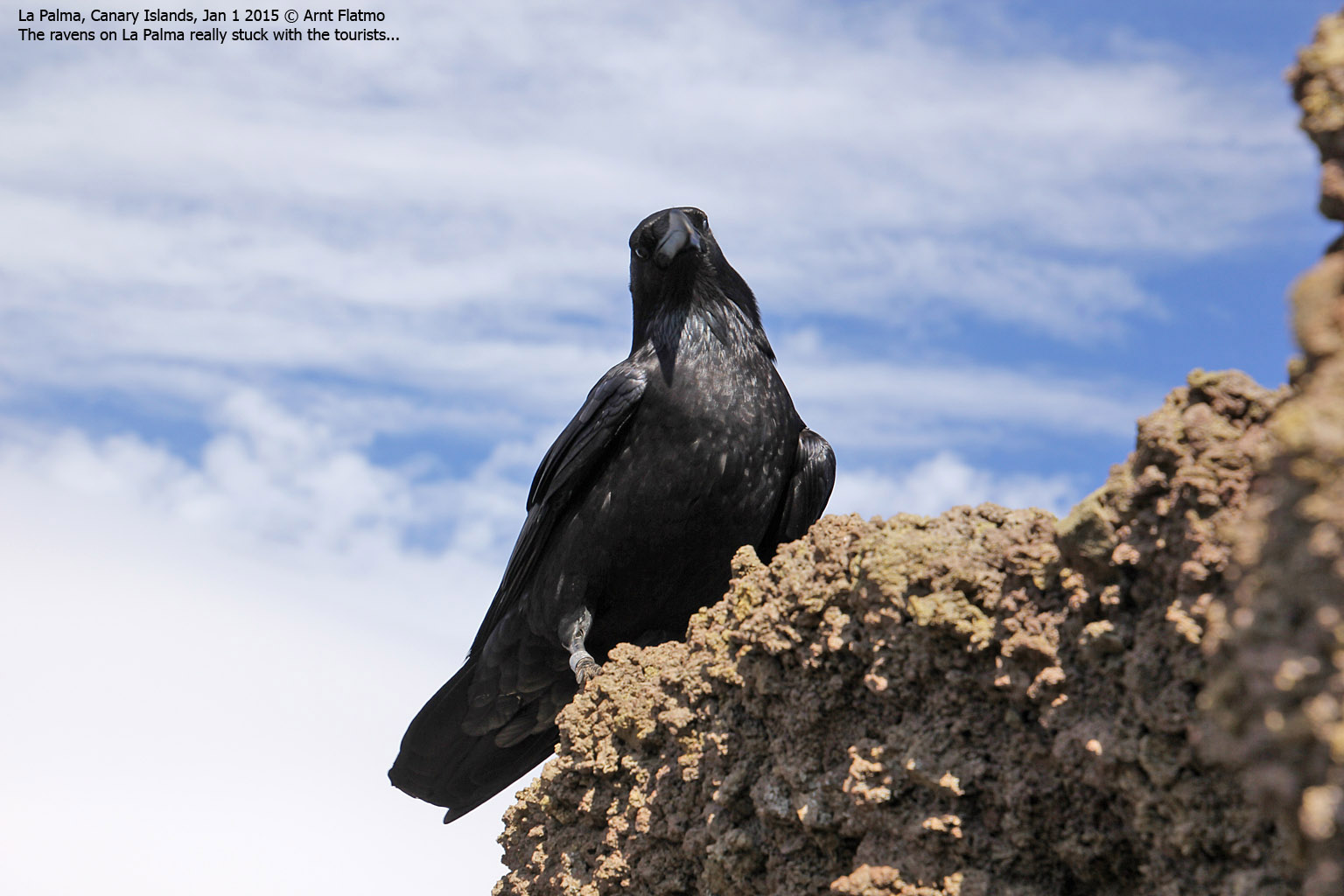
The east top was clearly higher than the west top, but we decided to visit both sides of the volcano. The wind was quite fierce up here and the raven who decided to hang out with us had either incredible fun or big problems during landing and take off. It was hard to tell...

On Volcan de la Deseada
(Click for larger image)
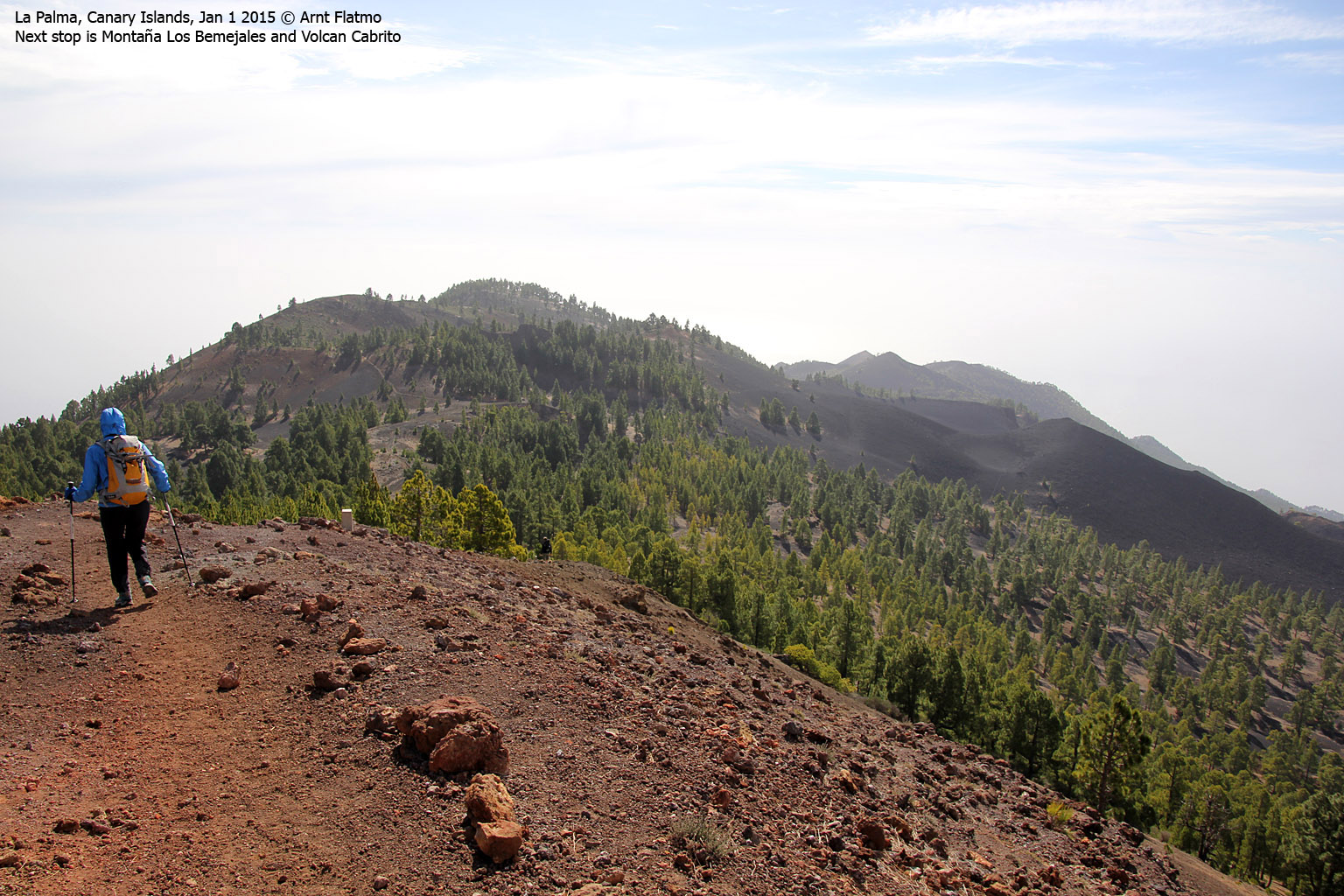
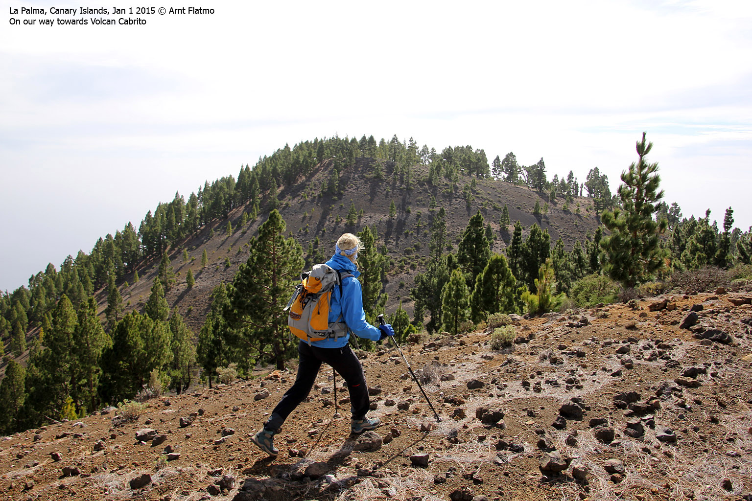
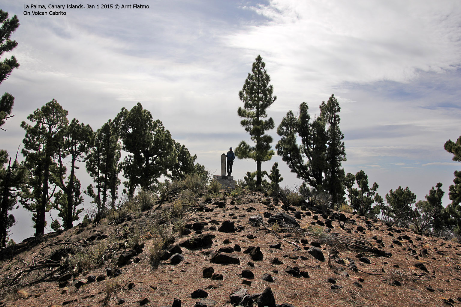
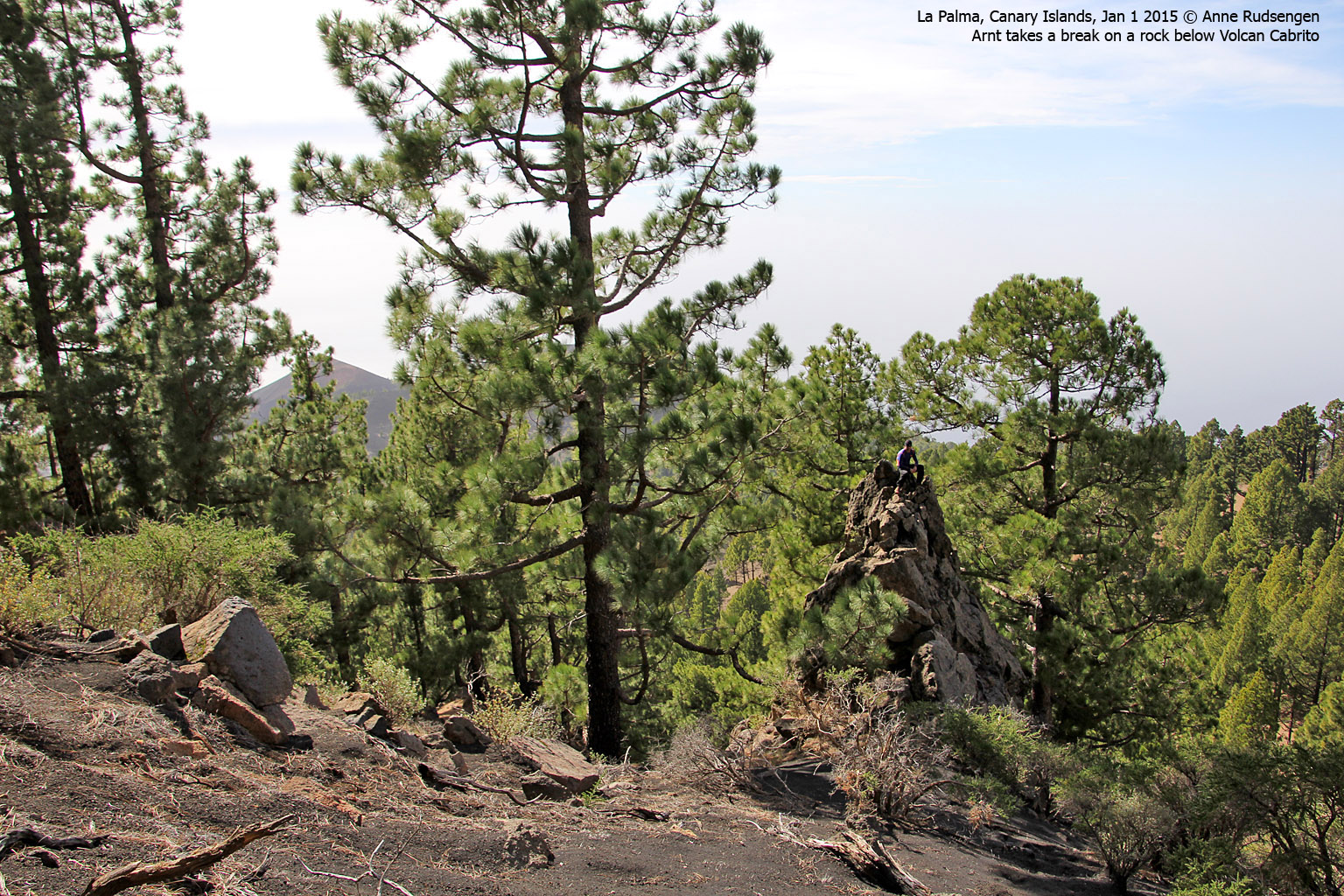
Montaña Los Bemejales and Volcan Cabrito
On the way down from Deseada, we passed more hikers and they seemed to be coming and going in all directions. Some were hiking in t-shirt and shorts, and I was freezing to the bone from the sheer sight of them...
We soon left the main trail in order to cross Montaña Los Bemejales (1875m - 12:06pm). We were now back on the ridge - the morro - and no more prominent tops were awaiting. But still, it was fun to hike across them.
Volcan Cabrito (1859m - 1:06pm) was different from the others in the sense that the descent was tricky. The semi-steep hillside got increasingly more difficult with all the pine needles on the ground. My sneakers just didn't get a grip. I could have gone skiing here!
And eventually, we were back on the motorway!

The motorway
(Click for larger image)
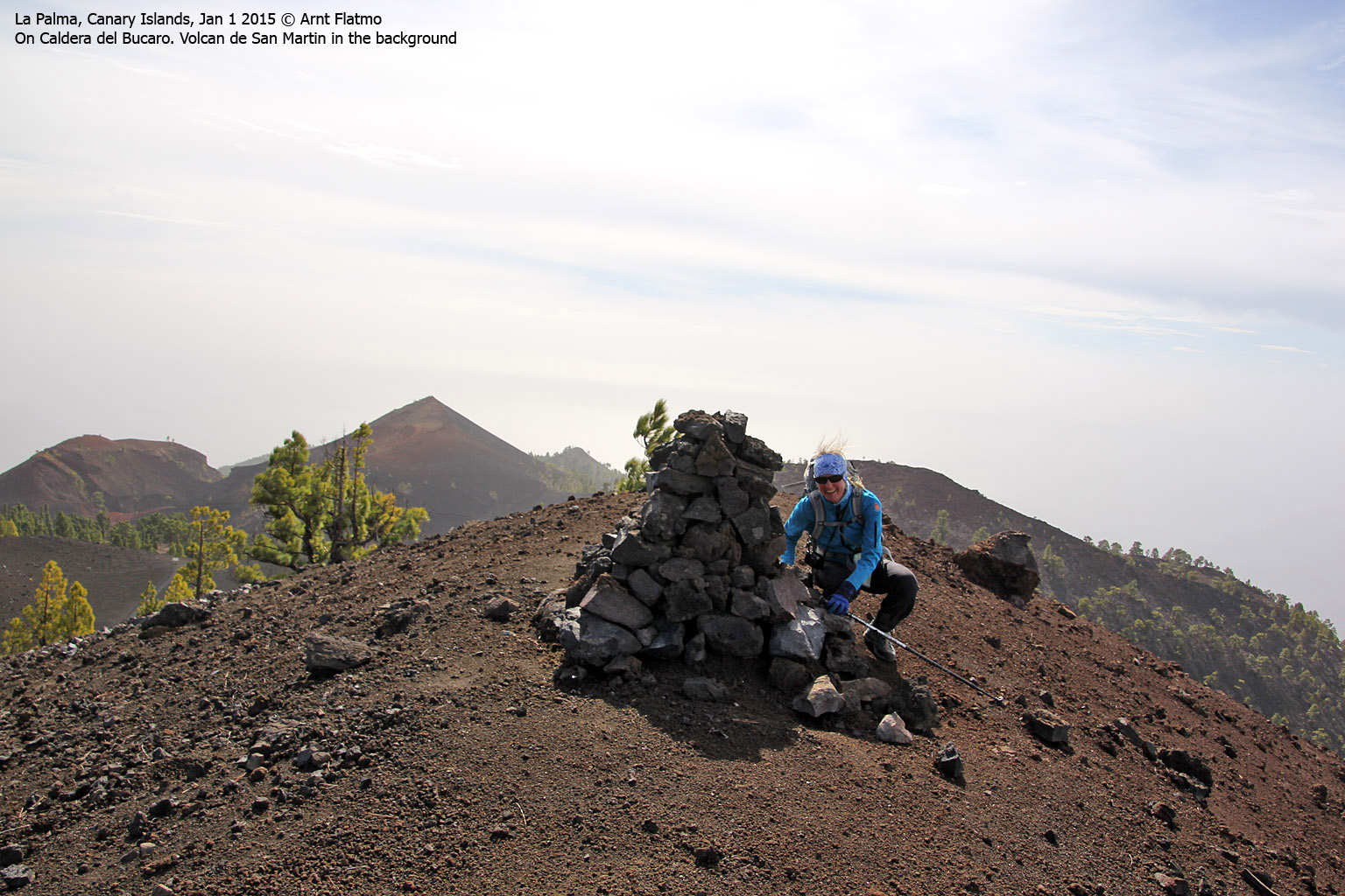
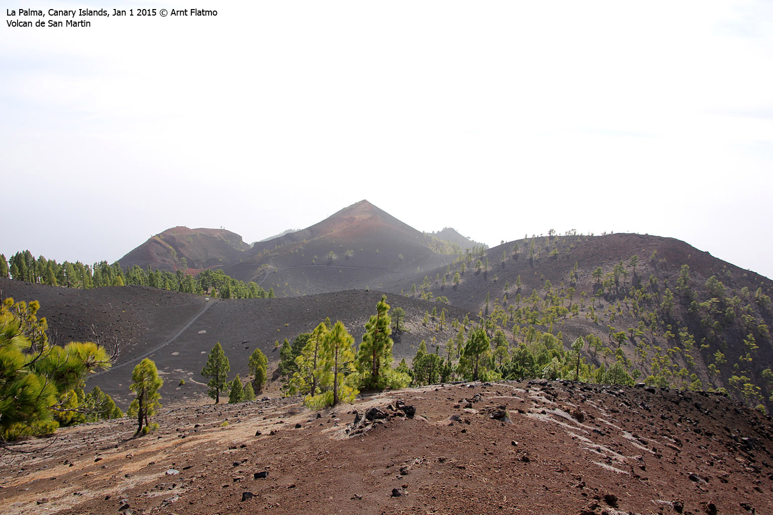
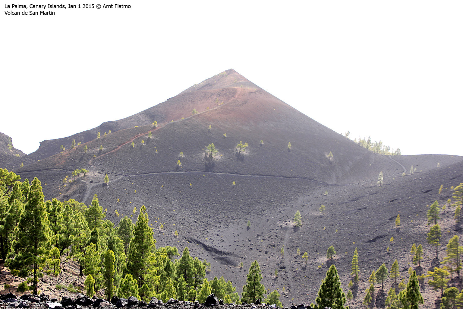
Caldera del Bucaro, Volcan de San Martin and Montaña Pelada
We didn't follow the "motorway" for very long, because all of a sudden - Caldera del Bucaro (1694m - 1:46pm) appeared on our right-hand side. It was yet-another-minor-top, but we simply had to visit it. The top didn't have a map name, so the name comes from the volcano crater.
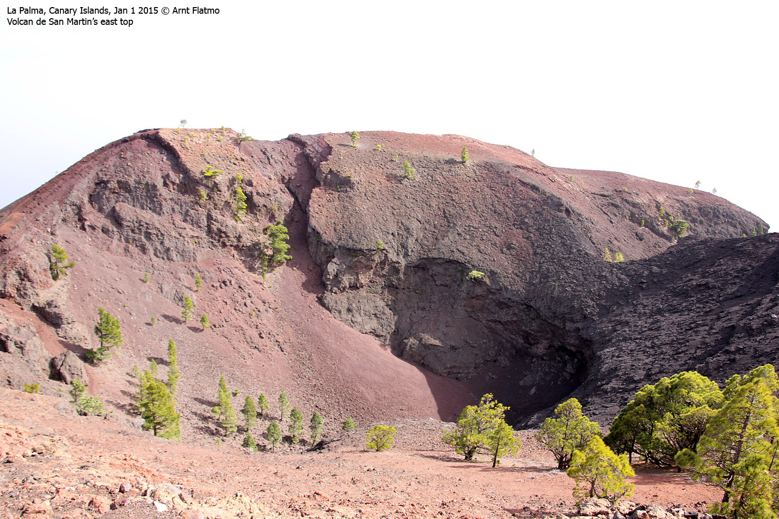
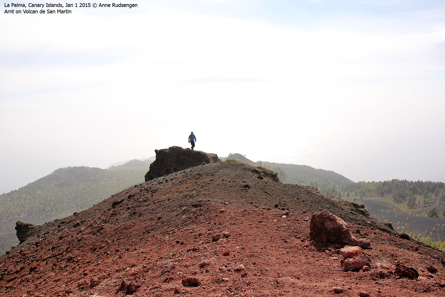
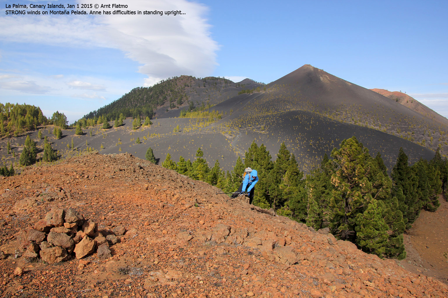
Ahead of us was a far more interesting top - Volcan de San Martin (1597m, 2:07pm) - a perfectly cone-shaped volcano top. The main trail ran on the west side of the top so the top involved yet-another-detour. The wind was so fierce on top that we had problems standing upright. Fortunately, the top gave some shelter against the wind.
The descent back to the "motorway" was quite fun, as it involved a long descent in volcanic rock that produced smoke on our tail...
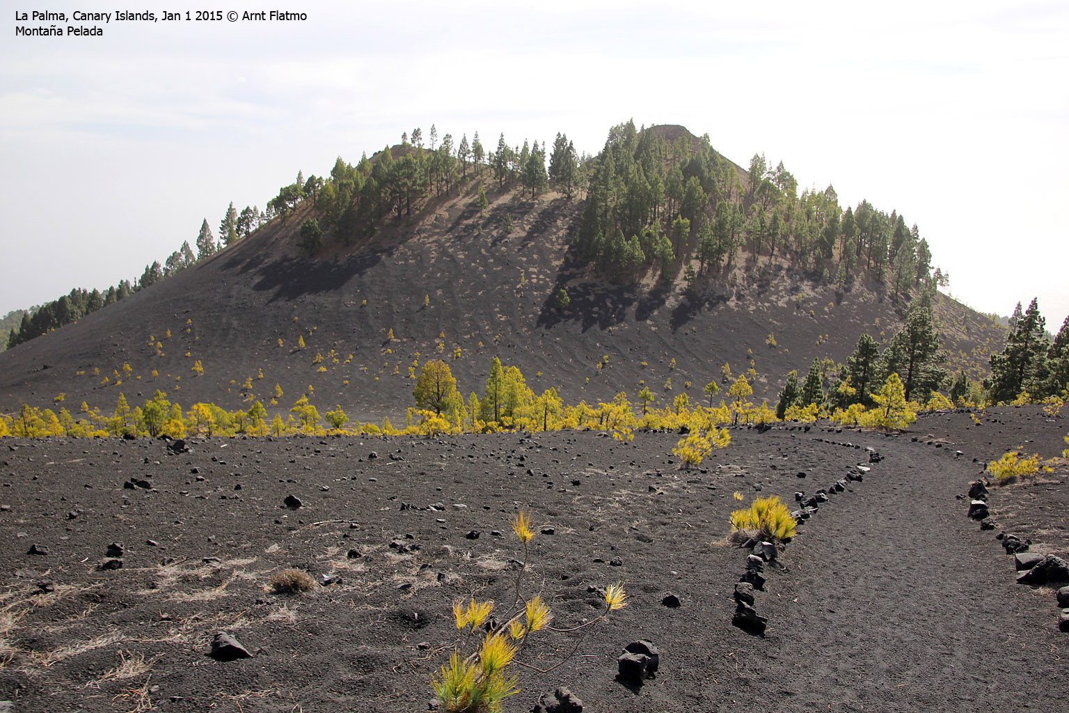
The final top - Montaña Pelada (1441m, 2:34pm) gave us the strongest wind yet and it was such a delight to get away from the summit. I pitied the ones stuck onboard an airplane, descending towards La Palma in this altitude...

Descending Volcan de San Martin
(Click for larger image)
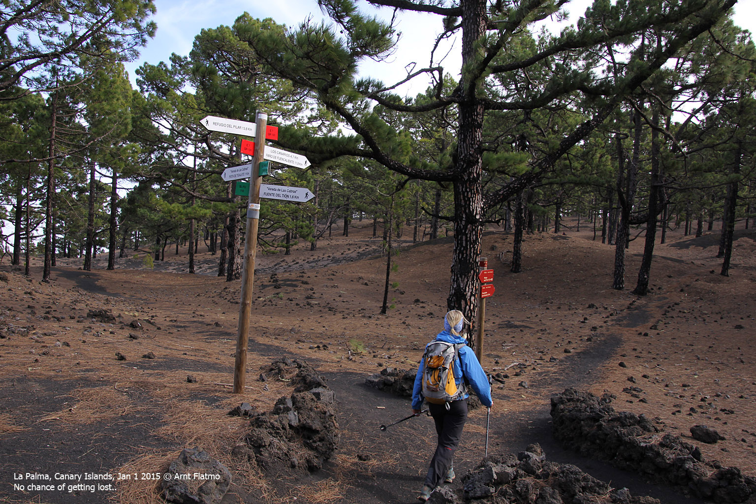
The remaining part of the hike went through the forest. A number of hikers came up from the Fuencalente side and from other sides too. While it was still great to be on the trail, we both started looking forward to reaching Fuencalente and eventually, returning to the hotel for a nice shower, a glass of wine slash beer, you know...
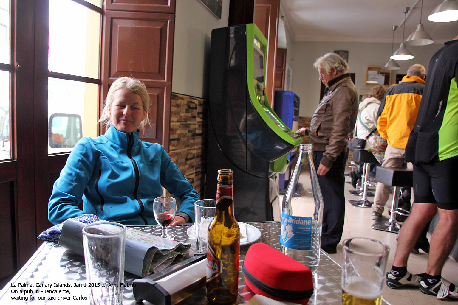
At 6:02pm, we reached a bar in Fuencalente (there weren't many open bars around) and learned that the first bus was - like - 3 hours away. If running at all. Some had told us that buses were not running on Jan 1st. To be on the safe side, we called Carlos and gave him the name of the bar. 30 minutes later, we were on our way back to Los Cancajos in Carlos' back seat ;)
")
Fuencalente (Los Canarios)
(Click for larger image)
Trip Facts
The trip was 21km in length. Vertical gain approx. 1300m and total hiking time was 7 hours.
Pictures
The pictures were taken with a Canon EOS 60D + Canon EF-S 18-200mm 3.5-5.6 IS


