
|

Follow the "Trip Reports" link at the bottom of the page for pictures.
Midmorgonshornet - a beautiful name, means Mid-morning peak (or something like that) is located by Lake Dyrdalsvatnet, between Varden (840m) and the Sandfjellet - Lauparen mountain range. The mountain can be reached from both Dyrkorn and Stordal. The Dyrkorn route is described on this page. If you want to hike from Stordal, visit the Sandfjellet page. Once on the Midmorgonshornet - Sandfjellet ridge, turn left instead of right (towards Sandfjellet).
(The mountain is called Ørndalshornet in Stordal and Midmorgonshornet on the Vaksvik side)
There is no pronounced path from Dyrkornstølen, which is the trailhead on the Dyrkorn side. There is a route that is vaguely marked, but there is no path. However, the off-trail route isn't difficult to follow. In addition to the fine view down to Storfjorden, you can spend time on watching Høgsvora, Næremstindan, Kvitnyken and Lauparen on your way upwards. From the top, the view broadens extensively. Sandfjellet and Jolgrøhornet are the dominating mountains in your field of view.
If you have the opportunity, plan for a traverse from Dyrkorn to Stordal (or the other way around). If you have a hiking mate, bring two cars. Otherwise, plan for returning to the trailhead by bus.


Midmorgonshornet (Norge 1:50,000: 962m, Økonomisk Kartverk: 962m, UTM 32 V 397751 6921646) has a primary factor of 176m, towards the higher parent mountain Sandfjellet (1322m). The saddle (approx. UTM 32 V 398518 6921066) is found at between the two tops. Ref. Økonomisk Kartverk (5m contours), the saddle height is defines as a fixed point - 786.
Personal GPS measurement averaged (over 10 minutes) Midmorgonshornet's height to 970m, with an error margin of 1,3m. The reading was done on top of the cairn, approx. 2m high. Based on previous comparisions between GPS readings and map heights, it is reasonable to assume that Midmorgonshornet could be higher than 962m.


Google's interactive map. You can zoom, pan and click on the markers.
Notes: Class ratings are in reference to YDS. Click here for more information.
The trails described below are not necessarily the *easiest* trails to this mountain.
|
Dyrkornvatnet - Midmorgonshornet (summer/autumn)
|
|
Access
(all distances are approx. distances)
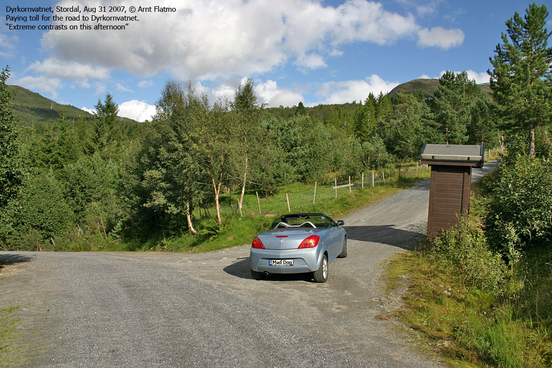
From Ålesund, follow highway E136->E39 towards Åndalsnes. From the E136/E39/Olsvika roundabout near Breivka, follow E39 28Km to the RV650 junction just after Sjøholt. Turn right onto RV650 (Geiranger/Stordal) and continue approx. 12,1Km on this road. At Dyrkorn, just after a tunnel and in a 50-zone, turn left and follow a hairpin road 1,4Km upwards. Turn right onto a gravel road and drive 450m to another junction. Turn left again, but pay toll at a self served booth before proceeding. The toll for passenger cars was NOK 20,- per Aug 2006. Follow the road 1,4Km upwards, turn left (the other road goes to Vikastølen) and drive 200m up to Dyrkornstølen where you park.
The route
Note: This is an off-trail route. There is a vaguely marked route up the forest, but not a visible path.
When you're in front of the Dyrkornstølen cabins, stay right of the fence and head upwards. You'll meet an intersecting tractor road. Turn left, and after a few meters, turn right and head up an open field which leads to some steep cliffs.
You need to get above the cliffs and you do so by passing them to the right. You'll run into a small boulder field, and this is the only cumbersome section of the route.
Once above the cliffs, follow open space (meadows, can be wet) and ascend the ridge. Once on the ridge proper, you'll pass a couple of viewpoint cairns. The ridge gradually turns southeast. You'll pass a hump before you begin the final ascent up to the summit.
Below the summit, you'll have to pass a cliffband which gets gradually easier towards the east. The summit is marked by a tall cairn.
 westcoastpeaks.com
Other Møre & Romsdal mountains
Other Norwegian mountains
westcoastpeaks.com
Other Møre & Romsdal mountains
Other Norwegian mountains

