
Norwegian Mountains, Møre og Romsdal
Storhornet on skis from Hjortedalen, June 5 2010
To the main Storhornet page (maps, route descriptions, other trip reports, etc.)
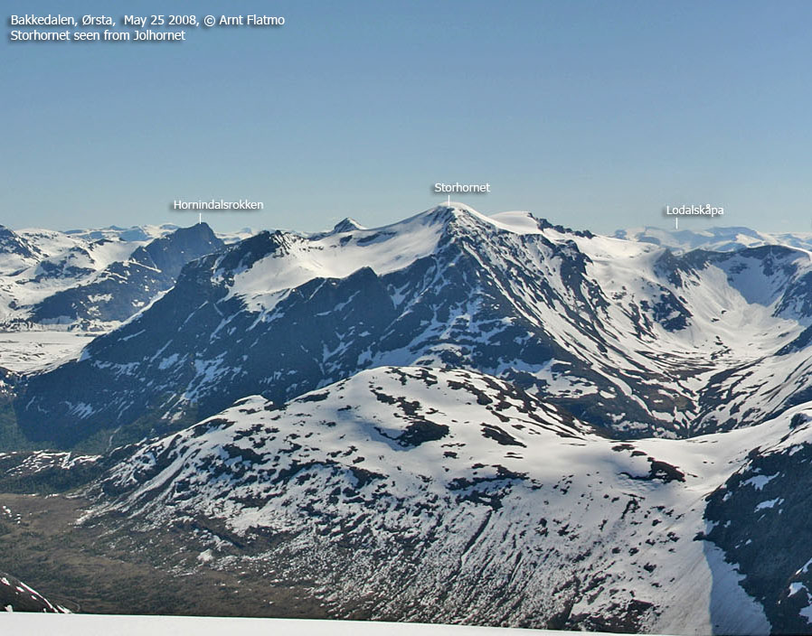
After many recent hikes on foot, it was time to bring out the skis again. The rumour on the net was that Storhornet was still an attractive mountain for spring skiing, and so Anne Rudsengen and me agreed to meet in Hornindal and give the mountain a try. My leg had been bad for more than a week, and the trip wasn't a go until Saturday morning - the day of the trip. The leg was still not good, and had the weather been any less gorgeous, it would have been a no-go. But now I was willing to limp my way up Storhornet.
I met up with Anne in Hornindal and we then drove up Hjortedalen. After getting some trailhead advice from a local, we parked at 590m. We would oviously have to carry the skis for a little while, but that was expected. We headed out 10:30am, and 30 minutes later - at 690m - we could finally put the skis on!

For no apparent reason, I had always imagined that a trip to Storhornet would be long and strenuous, but it soon became apparent that the route from Hjortedalen was (relatively) short and easy. As the foot was gradually getting better as the trip progressed, I started to consider a second top. Rokkekjerringa was an obvious candidate, but as Anne wasn't in top shape (suffering from an emerging cold), Blåbredhornet seemed like a much easier top. But that would be later. Now was the time to enjoy skiing up the Blåbreden glacier and enjoy the extensive views which got better and better by the minute.

Given our late start, we knew that the snow would be quite soft upon descent. Still, I looked immensely forward to skiing down this mountain. To me, spring skiing brings out an extra dimension of happiness. Never have a skied more than during this winter, and I've had my share of deep (and even deeper) snow, sometimes also in rather shitty weather. But this was the "reward" - cruising on soft snow with the lack of sunscreen as the only worry in the world...
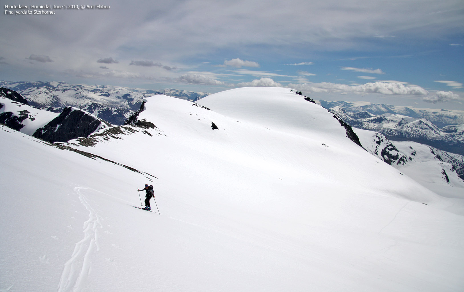
As the eager westcoastpeaks follower may have observed, Anne and I go on a lot of trips together. Anne enjoys coming to Møre & Romsdal for the Sunnmøre alps, and I enjoy going to Sogn og Fjordane for the Jostedalsbreen glacier and the surrounding regions. Storhornet was kind of in the middle and Jostedalsbreen seemed just as close as Kolåstinden and other prominent Sunnmøre peaks. In other words - the best of both worlds...
We reached the top of Storhornet 1:30pm - 3 hours after heading out. If I hadn't already been to Kvitegga, I would have nominated Storhornet as the best viewpoint on Sunnmøre. But I was probably just struck by the moment, as there are many, many "best viewpoints" on Sunnmøre. But the smile on Anne's face was unforgettable. What could I say, except for "welcome to my back yard"...

After a nice stay on the summit, it was time to decide on the second top. After seeing Bjørkehornet from Storhornet, I became slightly obsessed, but concluded that there would (hopefully) be time and opportunity to come back for this cool and rugged top, rising steep above Bjørke. Anne felt that she was fit enough for Blåbredhornet, and the matter was settled. After all, it would only be a minor detour along our descent route.
But first, it was time to enjoy the descent from Storhornet to Blåbreden. To our delight, the snow above 1200m wasn't as soft as we had feared, and the descent turned out to be unforgettable.

Back on Blåbreden, the snow dramatically changed character. In lack of a better word, suction allowed me to ascend Blåbredhornet without skins. I hadn't one single slip before reaching the summit cairn - 2:52pm. We had a short, but nice break on Blåbredhornet before moving on. The snow was really wet by now, and called for very active skiing in order to move at all.
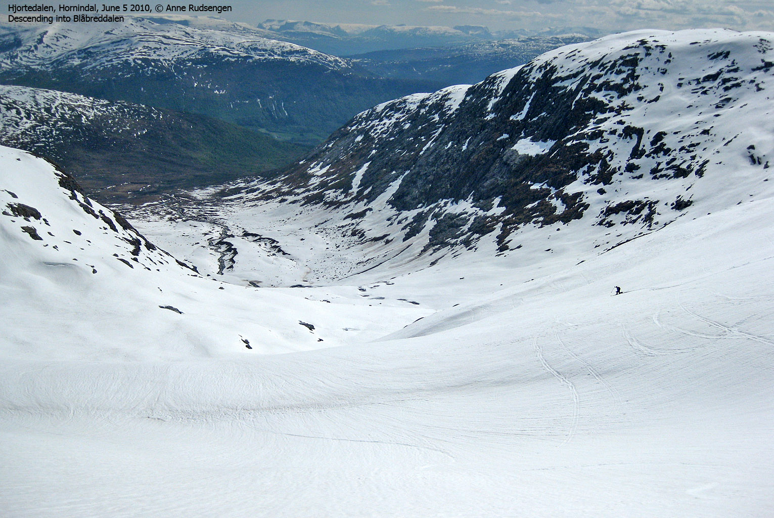
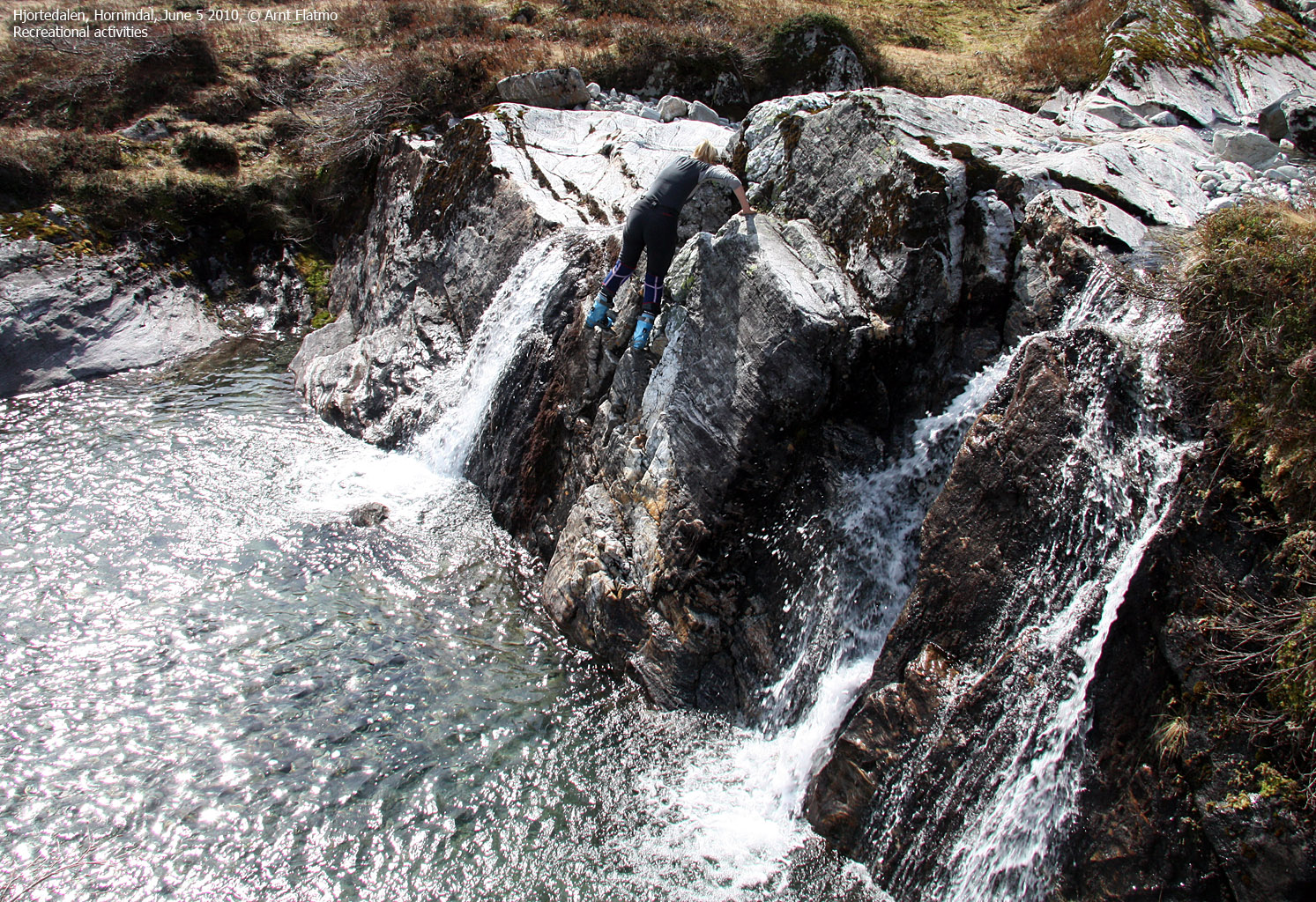
Disappointing as it was, the time eventually came for putting the skis on the backpack. We walked down the valley slightly more to the west and I noticed that the beautiful river went into a dam and then into an underground pipeline. This upset me, and I decided to write something like "couldn't they at least let 10% through?". But the desert river soon came to life again (thanks to other creeks) and we reached a tiny, but nevertheless beautiful waterfall where I saw the opportunity for some recreational activities...
We were back at the trailhead 4:10pm - 5h:40m after heading out. The total vertical gain was 1200m and the distance covered was 16km. All in all, a very, very memorable trip.
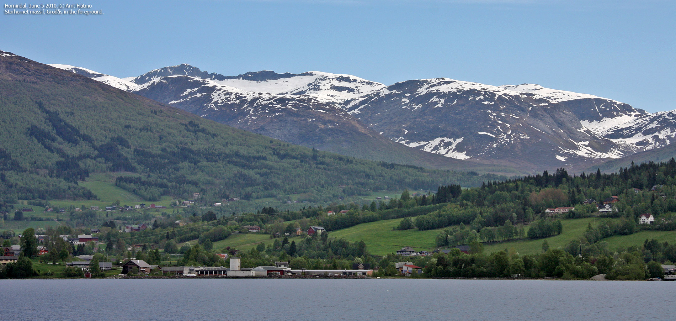
Storhornet massif seen from Hornindal

(Click for larger image)


