
Norwegian Mountains, Møre og Romsdal
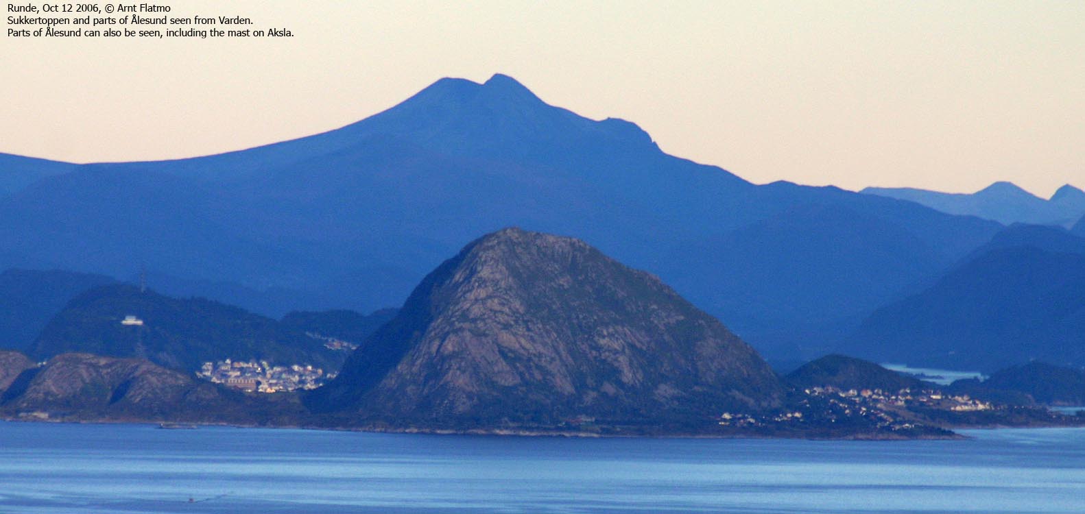
Varden from Hamarsneset, Oct 12 2006
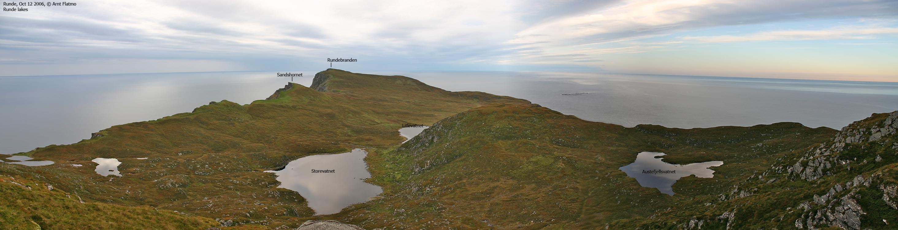
To the main Runde page (maps, route descriptions, other trip reports, etc.)
I left work in Ulsteinvik this Thursday evening, assuming that the gorgeous day would transform into a gorgeous evening. Sunset pictures from Runde was worth getting home late for. But as I headed westbound, I noticed a grey sea of clouds coming in from the west. Quite disappointing, but I decided to stick with the plan.
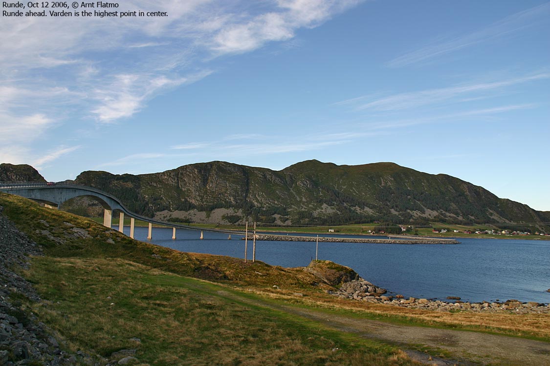
A colleague had suggested that I should walk from Hamarsneset. Once across the bridge, I turned left and drove until I found the trailhead. I assumed that this place would be quiet on a Thursday evening, mid-October. I parked by the trailhead, making sure I didn't block for other traffic. My dog "Troll" seemed eager to get out of the car, ready for new adventures.
To Varden
I was all ready to go 16:20PM, but the dog let me down. He sat down by the car and decided that he wasn't ready for new adventures, after all. 1 minute later, I headed up the path, with a backpack weighing 8Kg more than planned.
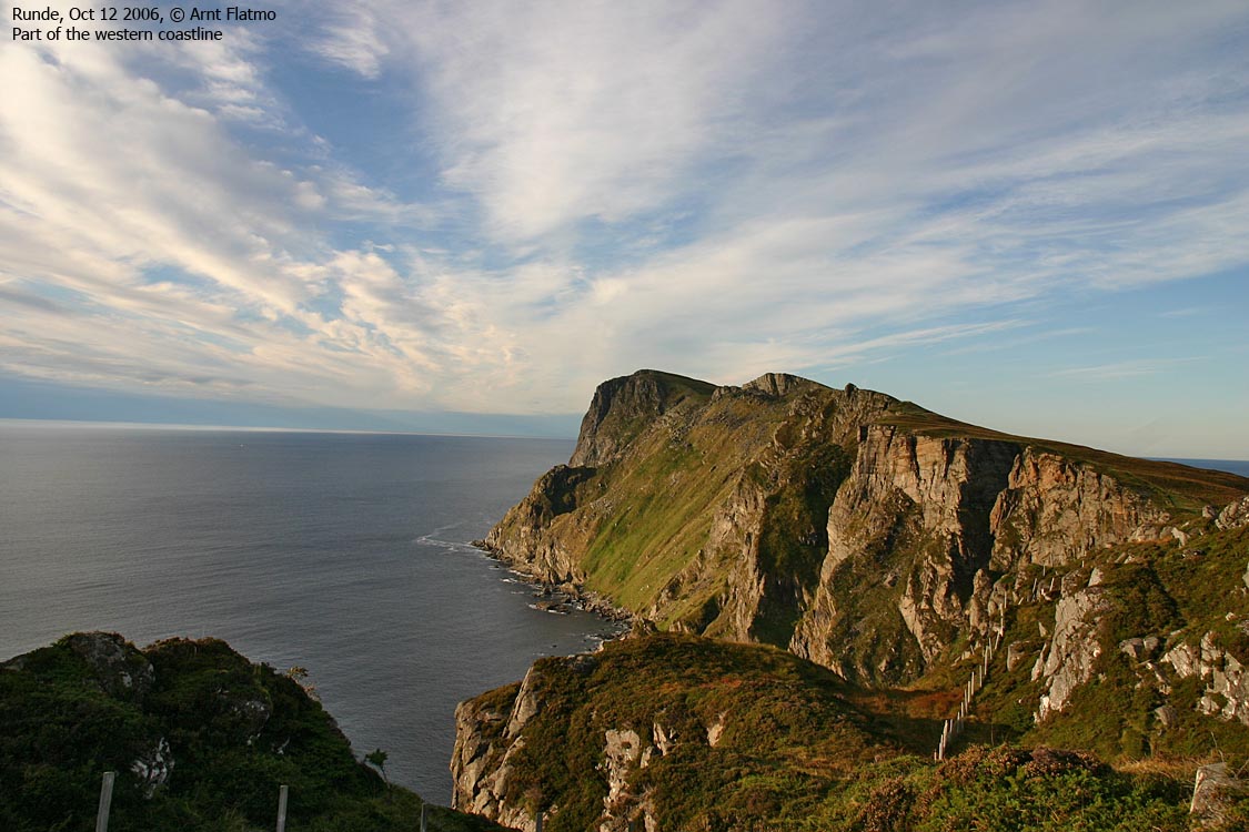
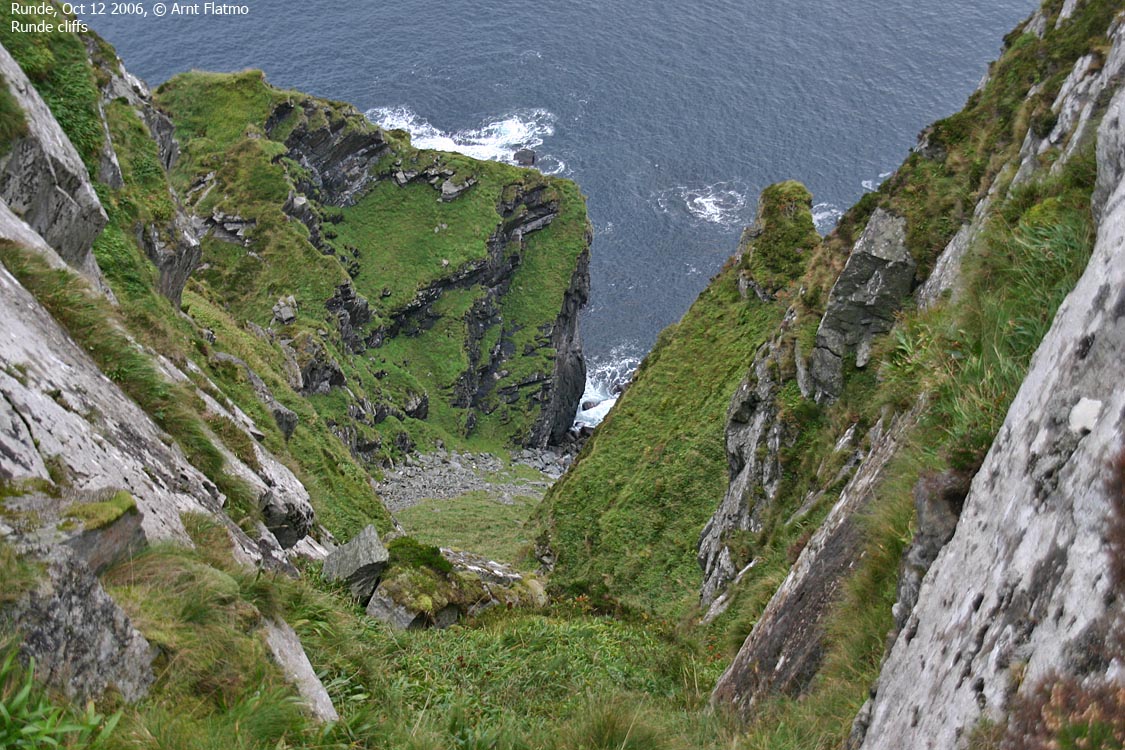
Once on the plateau, I immediately fell in love with the coastline and the cliffs. Too bad it's such a long drive from Ålesund. Otherwise, I could picture myself spending time out here. Troll was walking by now, but struggled along the narrow path going eastbound. Rocks and roots were constant elements he had to fight, and eventually, I decided to carry him to the top.
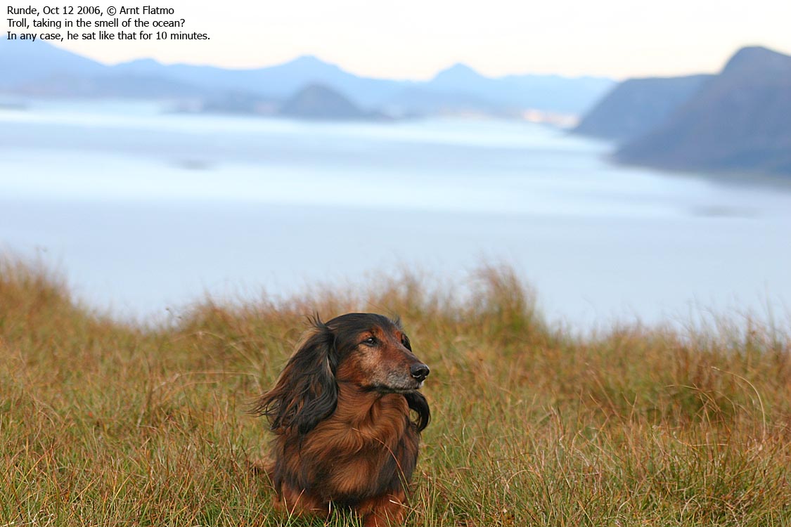
We reached the high point 17:00PM. The weather change was happening just above me. Evening in Ålesund would perhaps be rainy. I did enjoy the views. There was a lot of mountains to see from up here. After spending 15 minutes on top, we headed back down. On a different path. There were a lot of paths, but none seemingly frequently traveled.
To S. Handfangen
Along the way down from Varden, I decided to pay S. Handfangen a visit. I had noticed a cliffband that could make the ascent a bit hard. So, it had to be checked out. I followed the cliffs until I stood in the gap between S. Handfangen and cliff I had descended. No path was found, but I could imagine a vague, vague track that I decided to follow.
I reached the cliffband and concluded that with some caution, I could do this. Without a dog in the backpack, it would have been far easier. The problem with the dog in the backpack, is that when I bend too much, the dog thinks he's falling, and try to find balance. This can get quite awkward, when I'm trying to find balance, myself.
The thing was to pull myself up between two large rocks. The problem was that I immediately got the cliff in my face, and there was no room to turn left. I had to get up backwards. Then I had to -ass- myself sideways, trying to ignore the LOUD complaints from the dog, rubbing his face into the cliff. Once on easier ground, I apologised to the dog, and promised him goodies once back home. The dog accepted the apology and we continued.
The time was 18:00PM when I passed the top. After a couple of pictures, I started looking for another way down. I found a gully that was very cumbersome and required focus down a long boulderfield. We were back at the car 18:20PM, which was the worst time of the hour I could hope for. The ferry left 19:00PM, and I assumed I would need 45 minutes to Hareid. Perhaps, with little traffic, I could make it. It wasn't all that important, as the next ferry left 30 minutes later.
It started to rain just as I left Runde. A couple of drivers were very determined to stay well below the speed limit, causing me to miss the ferry by 15 seconds. The ferry was still at the harbor. The gate was open when I passed the roundabout, but it was closed by the time I entered the lane to the ferry. Oh well....
I spent the time counting the number of islands I had passed on the way back home. I counted 10. Runde, Rimøya, Leinøya, Bergsøya, Blankholmen, Nautøya, Gurskøya, Hareidlandet, Sula and Uksenøya. Not bad for an afternoon hike...


