
Norwegian Mountains, Møre og Romsdal
Rundebranden, Sandshornet & Runde Fyr, Jan 1 2009
To the main Runde page (maps, route descriptions, other trip reports, etc.)
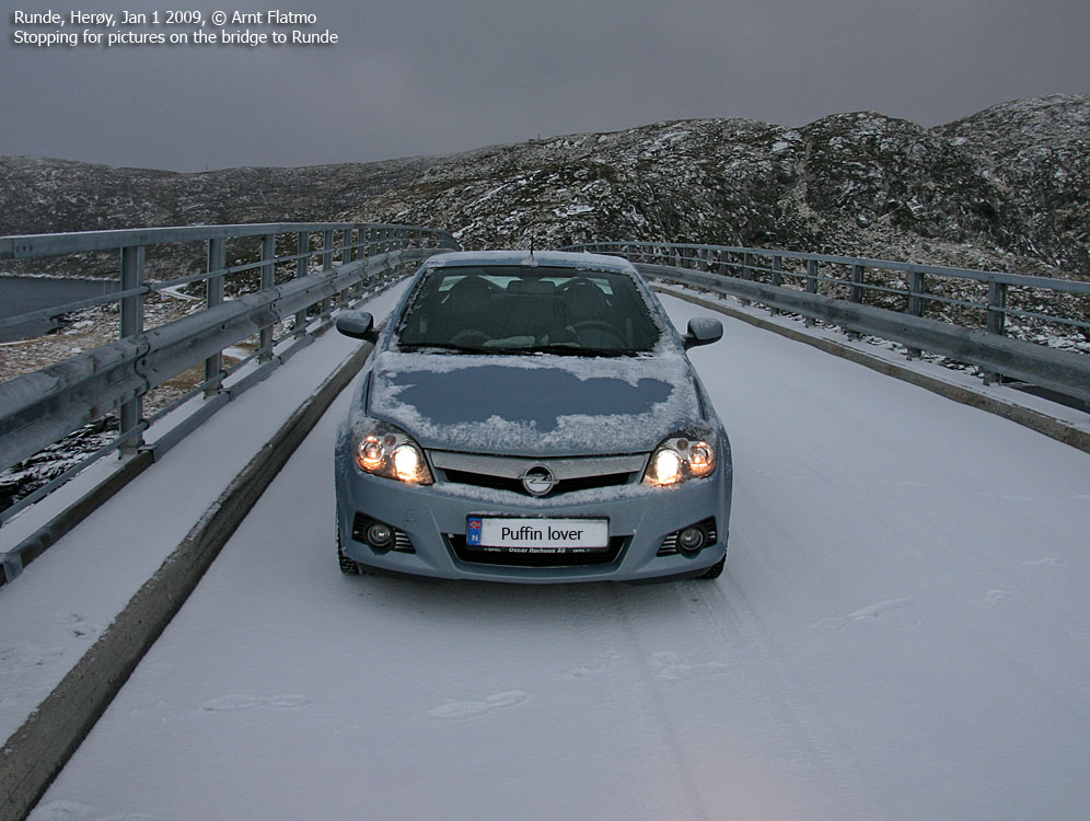
On the 1st day of 2009, I was on my way to meet a fellow hiker at Fiskå. The plan was to ascend Storebøra (789m) - the highest peak on the peninsula north between Syvdseidet and Hallefjorden. The weather wasn't supposed to be good at all, and I wondered how the drive would be. Would the roads have been plowed? Typically, I didn't give the mountain and the bad weather much thought. I was concerned about the roads..
I left home 10am on a road that had not been plowed - recently. But then my fellow hiker called. Something had come up, and we had to cancel. As I was already outdoors, I decided to drive to Runde and visit the last main top on my Herøy list - Rundebranden. The road to Fosnavåg and Runde was definitely not plowed either, and the snow kept falling.

The trail from Goksøyr to Rundebranden
(Click for larger image)
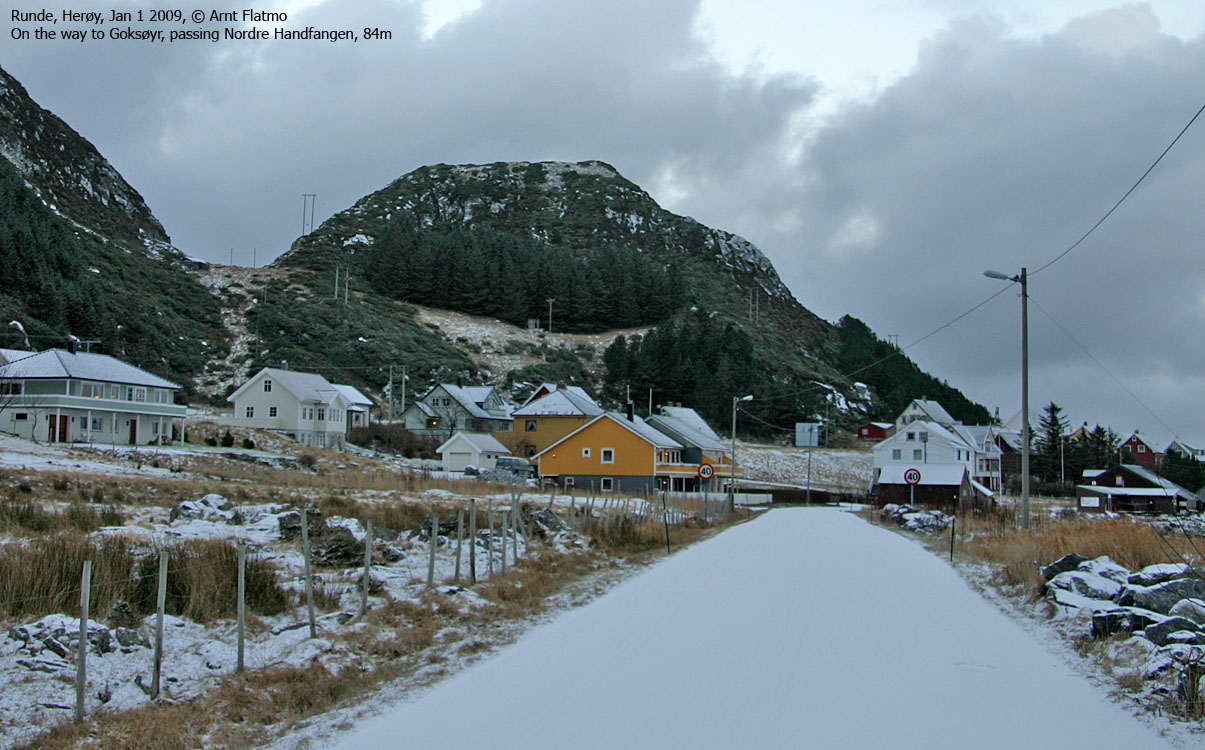
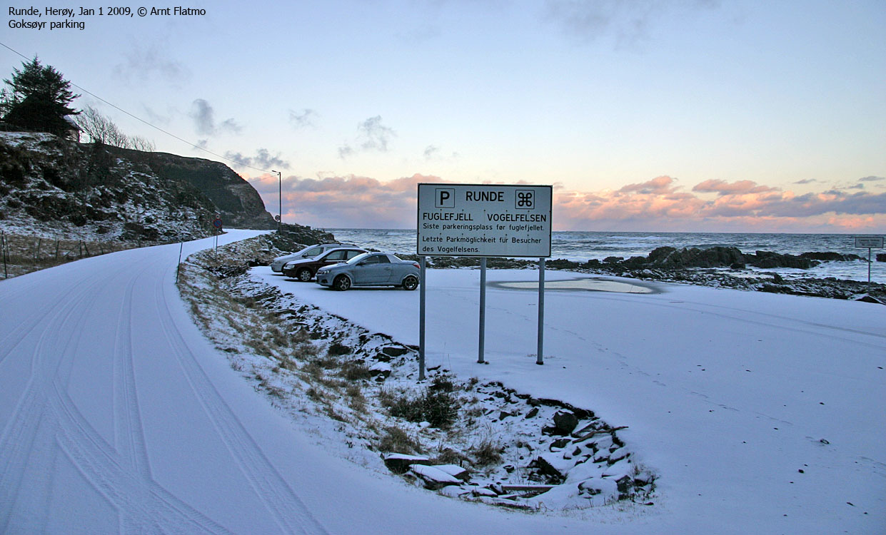
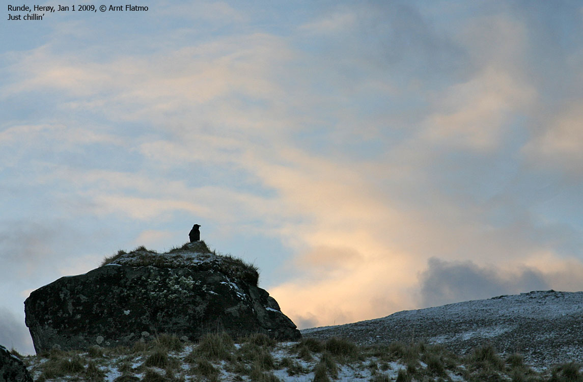
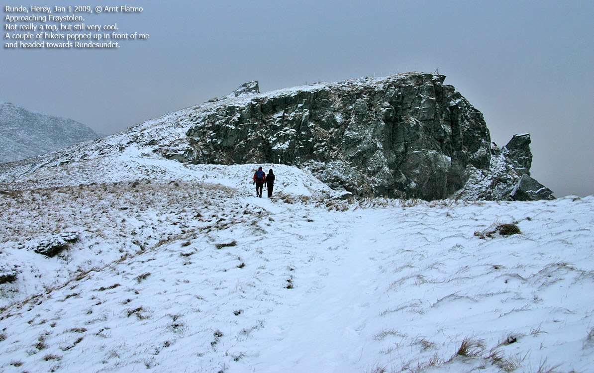
Things were different on Runde. It wasn't snowing much, and not much snow had fallen either. I drove to Goksøyr and parked, after having located the mountain trail. I had never been to Goksøyr before, and found the place quite scenic. I headed up the mountain and met two hikers on their way down. They had been spending New Year's Eve (along with others) at Runde Fyr.
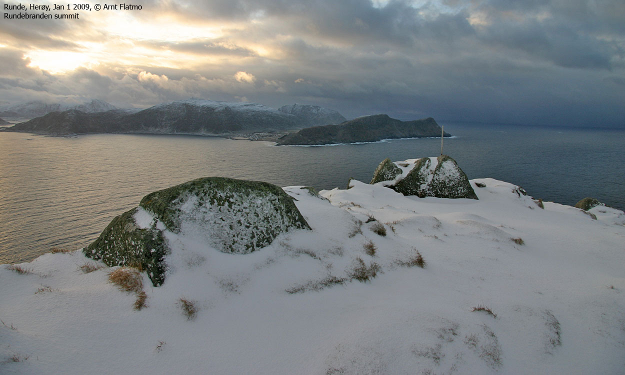
I reached the top of Rundebranden 11:50AM, 45 minutes after leaving the trailhead. It was really cool to walk along the cliffs, approx. 300m above the sea.
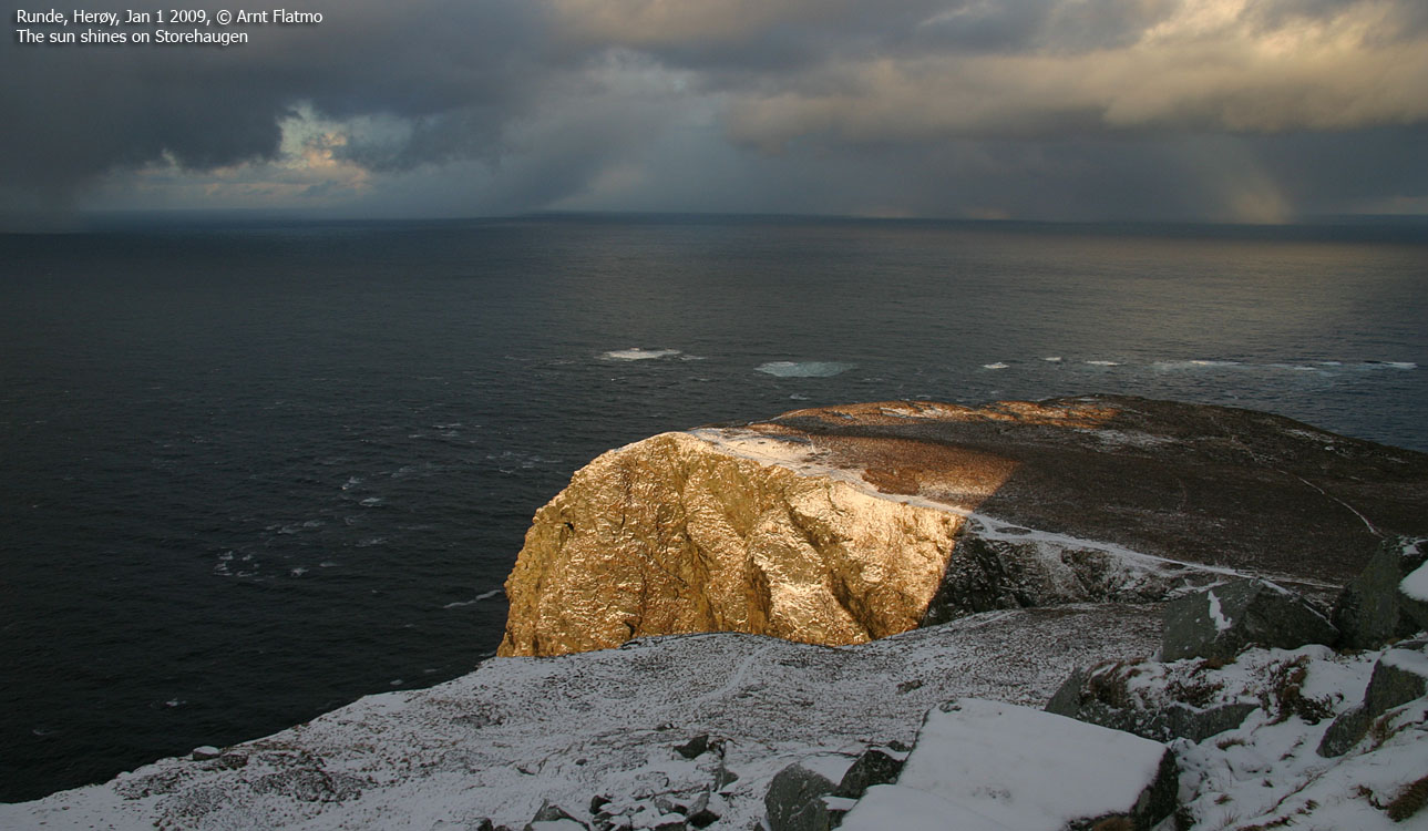
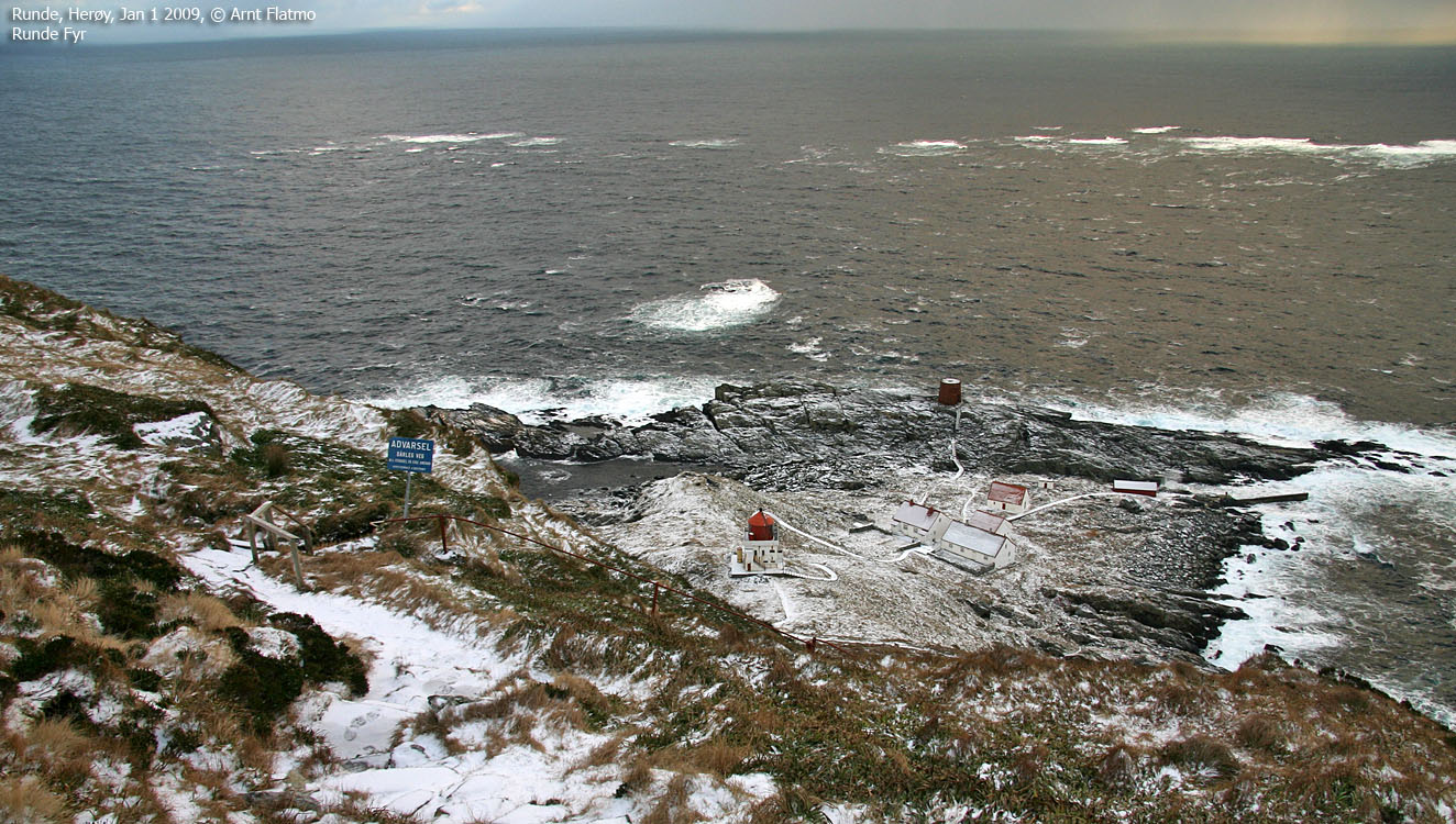
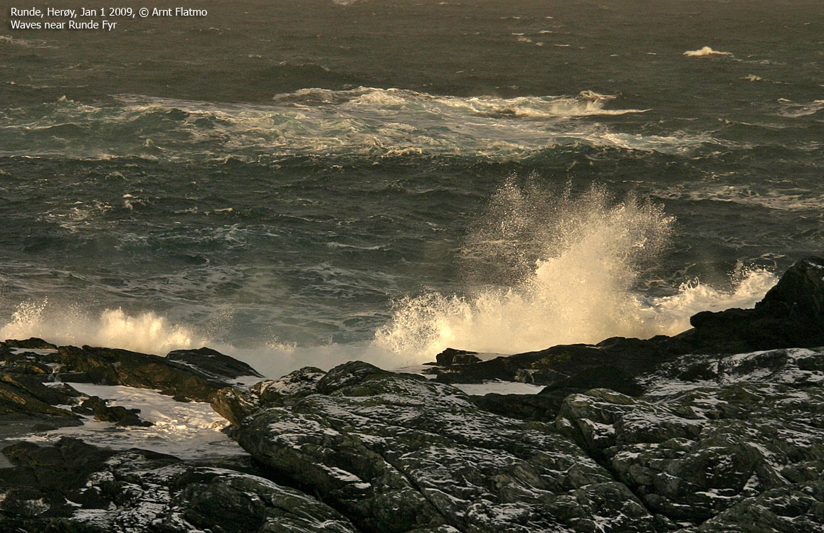
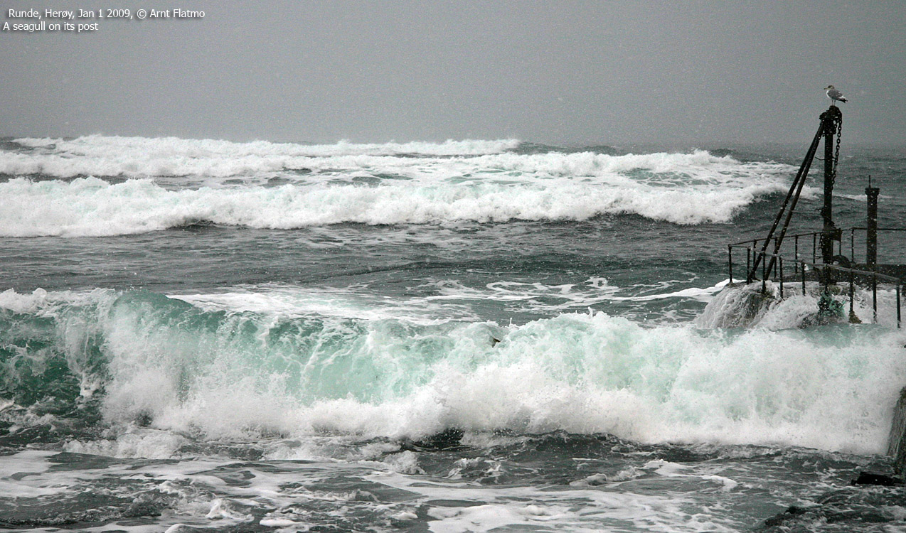
Wondering where to go next, the choice fell on Runde Fyr. I headed across Storehaugen before descending on a good trail (there is a sign saying the trail is not good..) down to the lighthouse. I didn't feel any need to go into the building (external link) owned by DNT, and took pictures of some cool waves instead. On my way up, I met a guy who told me everything I should know about Runde Fyr.

Runde Fyr
(Click for larger image)
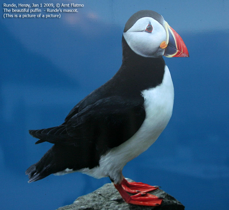
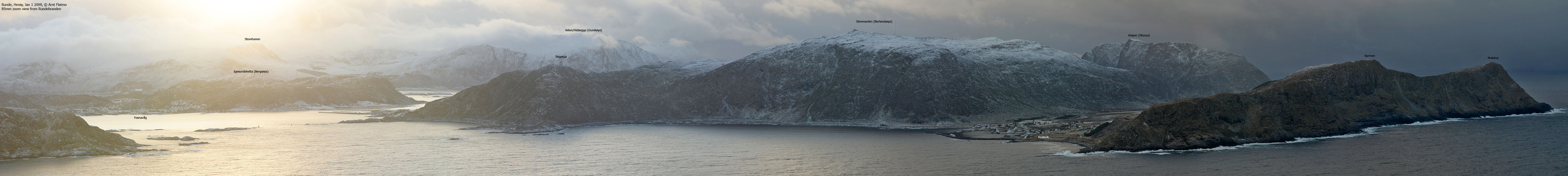
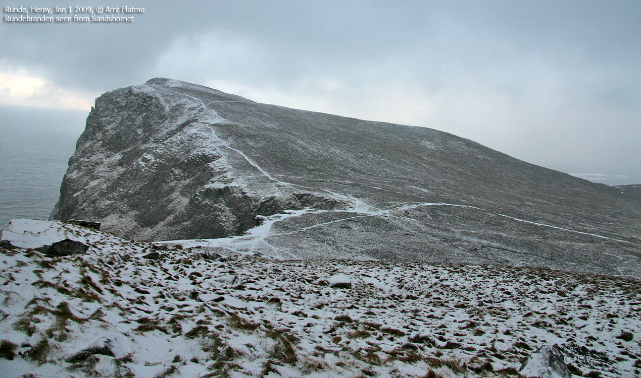
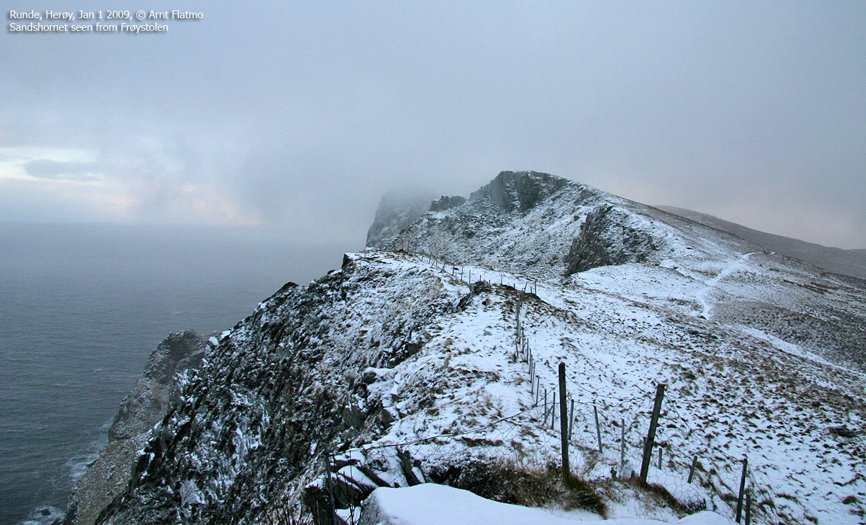
12:55pm, I passed Rundebranden again, and set course for Sandshornet. I was struck by the amount of trails on this island. Not too strange, given the amount of visitors in the summer season. I need to come back here for some cool puffin pics. Possibly the coolest bird I know, after the white-tailed eagle.
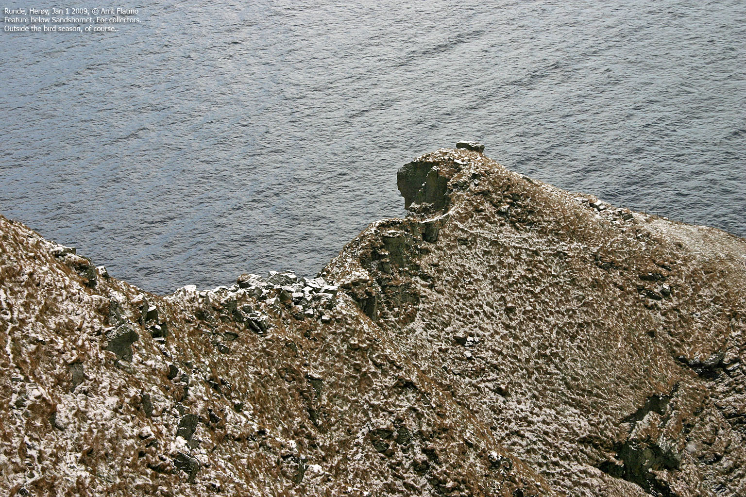
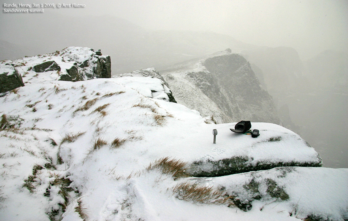
I reached Sandshornet 1:15pm, after moving about in some awkward terrain south of the top. A ladder caught my attention, and I climbed down it. But I never found out if I was meant to find a path down there, and I ended up in a major boulder field before getting back on the ridge.

Looking for boulder challenges?
(Click for larger image)
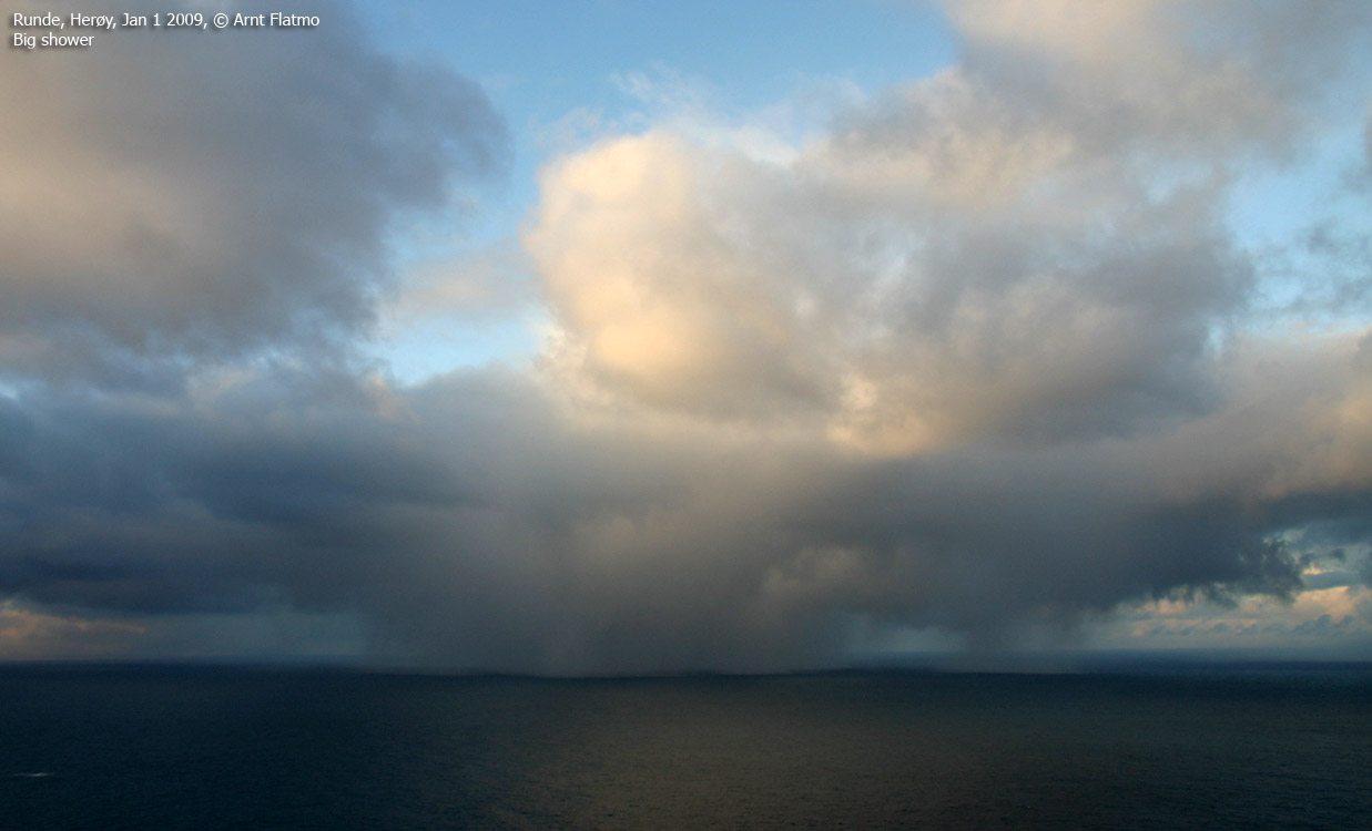
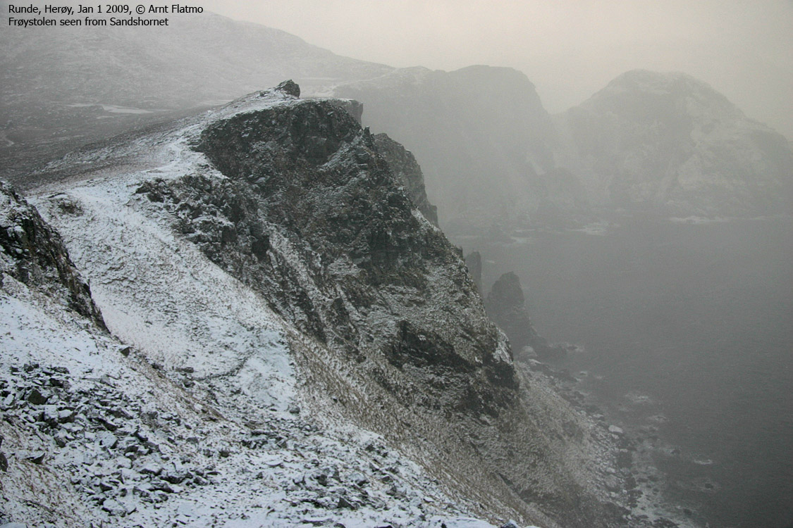
The showers I had been watching out in the ocean had finally hit land, and the walk wasn't so pleasant anymore. I continued towards Frøystolen before breaking away off-trail down to Litlevatnet, where I followed a trail back to Goksøyr. I was back at the car 2pm and drove back to Gurskøya. And the roads still hadn't been plowed. Public holiday or not, I was not impressed.


