
Norwegian Mountains, Møre og Romsdal
Saudehornet (1303m) on skis and foot, May 1 2011
To the main Saudehornet page (maps, route descriptions, other trip reports, etc.)

Saudehornet
(Click for larger image)
History...
Saudehornet is an amazing mountain. From Ørsta's town centre, you can hike or ski straight up to the top - 1303m above sea level. The annual events Saudehornet rett opp (on foot) and X2 (on skis) are becoming more and more popular. This grand massif also offers scrambling, climbing, ridge traverse, a glacier, and steep gullies for extreme skiers.
My first encounter with Saudehornet was when my friend Petter Bjørstad and me saw it from Trollvasstinden in January 2003. This was our first trip to the Sunnmørsalpane mountain range. Little did I know then that this mountain region was one day to become my "backyard". Back to the present - on this gorgeous May weekend, Petter came to visit me, and 8 years and 4 months after Trollvasstinden, Petter, Anne and me were on our way up to Saudehornet.

Our route to Saudehornet
(Click for larger image)
Hiking vs. skiing...
I had told Petter that this would be a weekend that involved hiking only, and as such - he didn't bring his skis to Sunnmøre. My plan was to traverse Liadalsnipa on Saturday (which we did) and hike Vassdalstinden on Sunday. But I has underestimated the amount of snow in the Ørsta mountains and the Vassdalstinden hike got cancelled. Plan B was Saudehornet, and I had a pair of skis that Petter could use for the transport section. We would then hike the ridge on foot.
We left the trailhead 10:15am and hiked up the forest road. At 400 meters, we could put the skis on - to our delight.

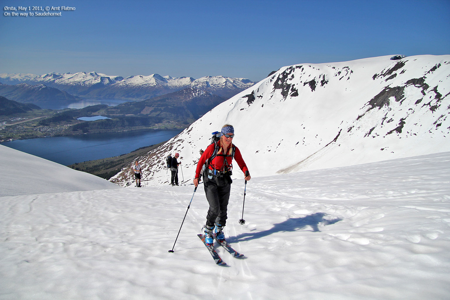
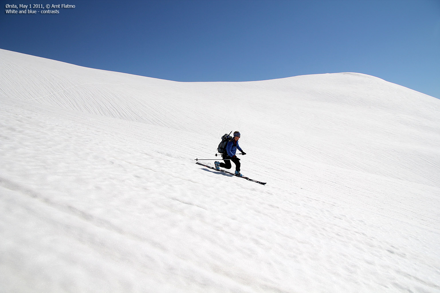
On the way to Saudehornet!
(Click for larger image)
The ascent
It was strange to see so few people on such a fine day. I could only imagine how crowded Kolåstinden had to be today. In addition to us, there was only a handful of other skiers ascending the mountain.
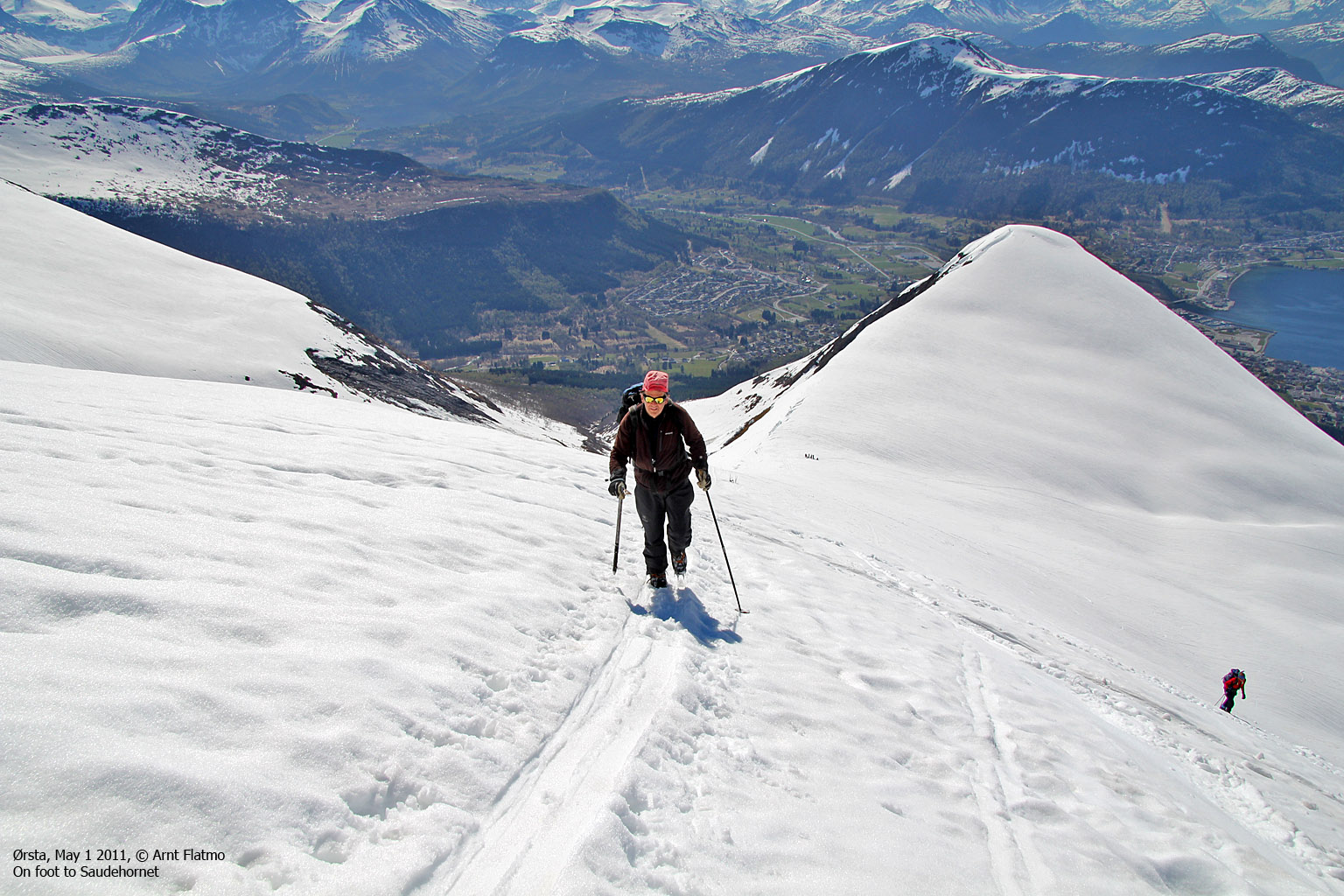
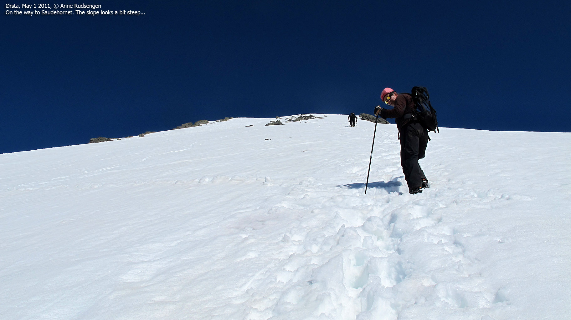
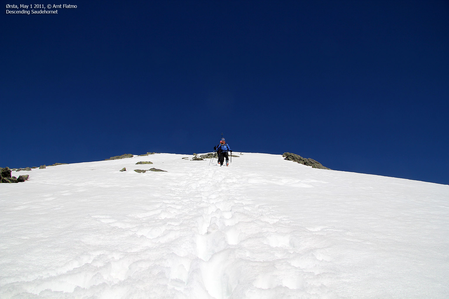
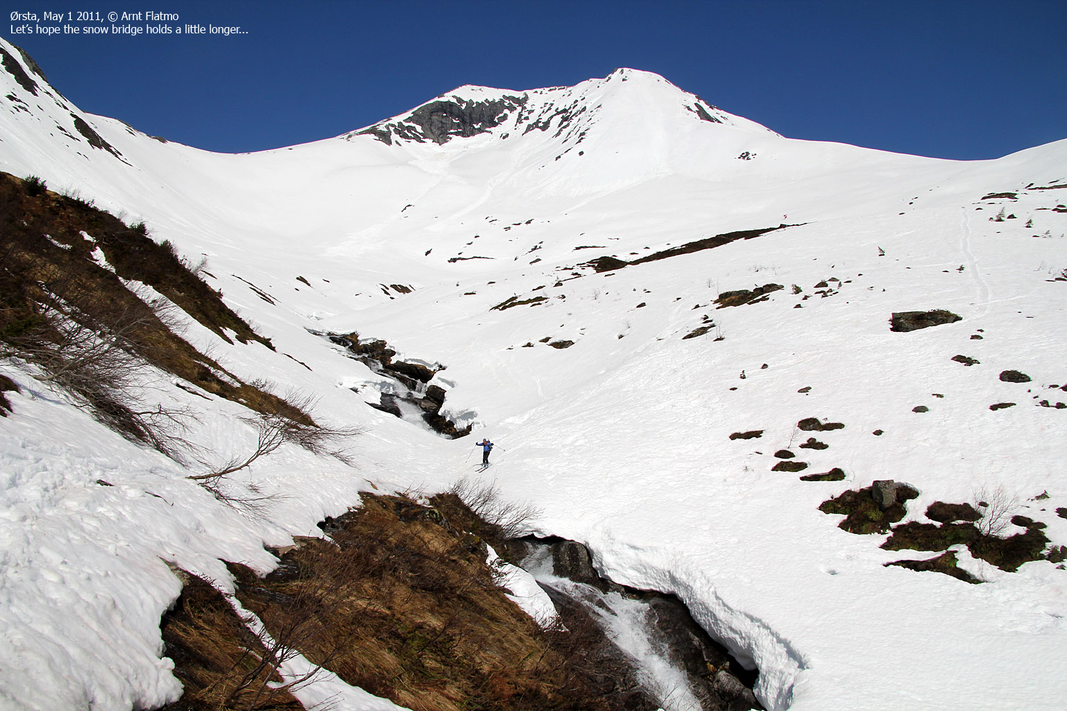
We skied up to 940 meters, and parked the skis. It was tempting to bring the skis to the summit, but the skis that Petter was borrowing was not suited for a steep mountainside. So today, we would do the ridge on foot and come back to ski Saudehornet another day.
I had gone up and down this ridge route several times before, but never on snow. I was under the impression that the route would be quite steep on snow, so I suggested that we should wear crampons and bring ice-axes. But the slope never got as steep as I had thought it would, and all the hardware was a bit of an overkill. But on the finest of days, and with the finest of views - who cares...

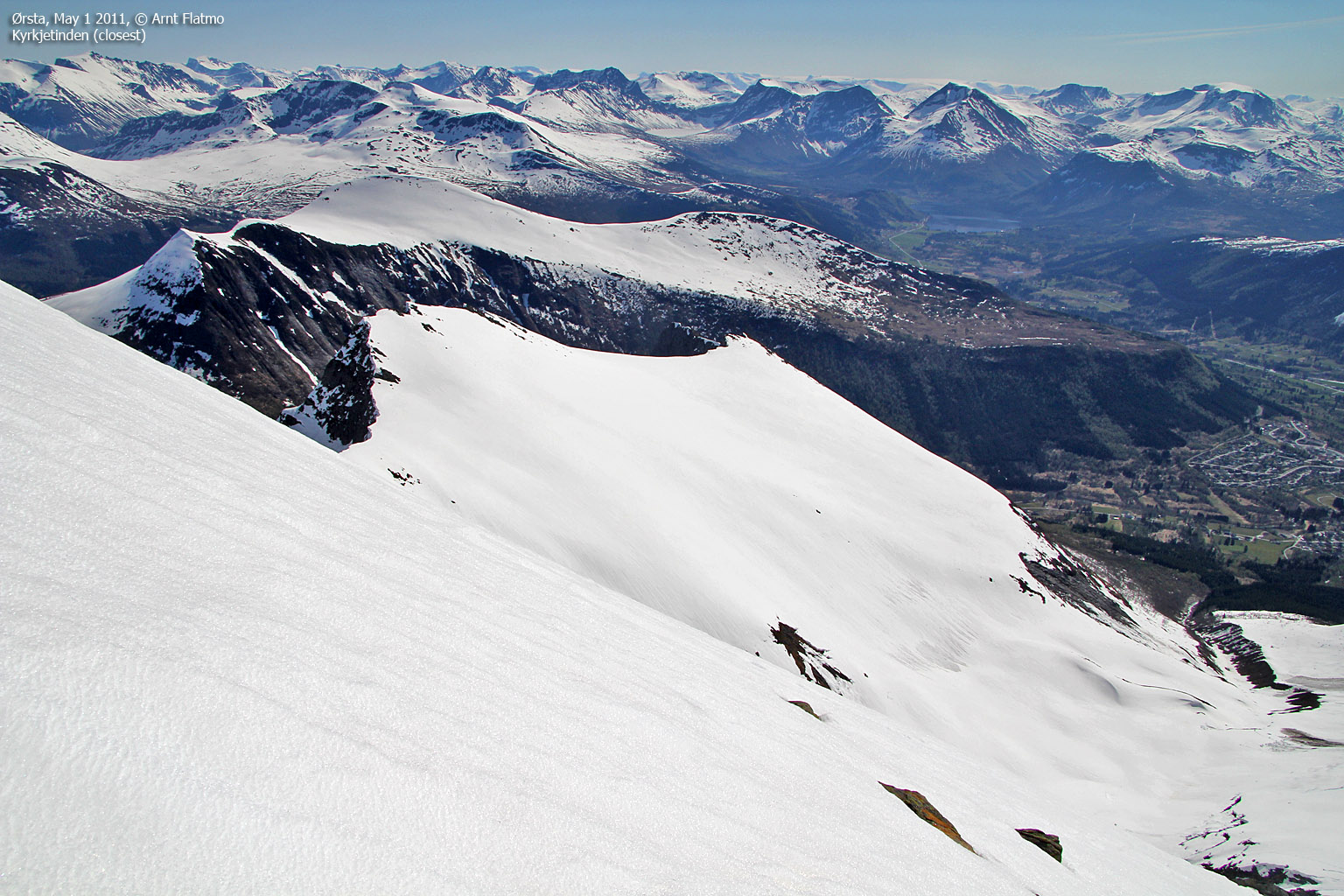
Gaining altitude...
(Click for larger image)
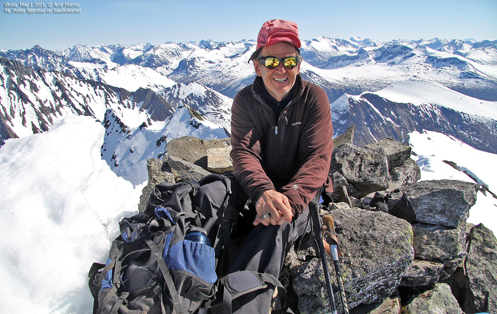
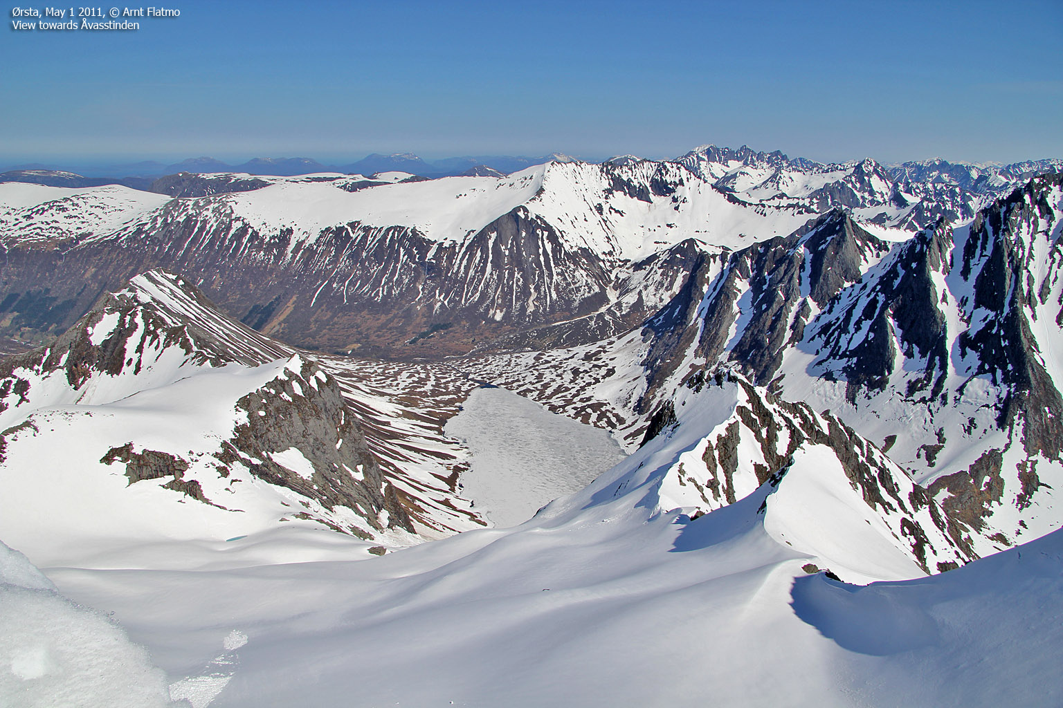
On top of the world...
We reached the top of Saudehornet 1:12pm - close to 3 hours after leaving. The few that had arrived on the summit before us, had either just left or was in the process of leaving. We got the summit cairn all to ourselves for about 15 minutes, and we enjoyed every minute up there...

On top of Saudehornet
(Click for larger image)
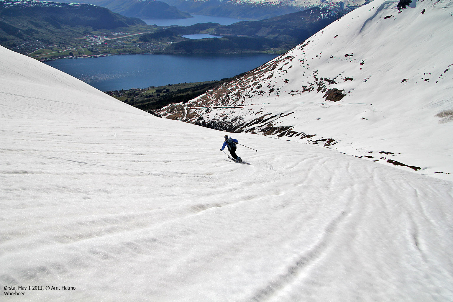
Telemark dreams...
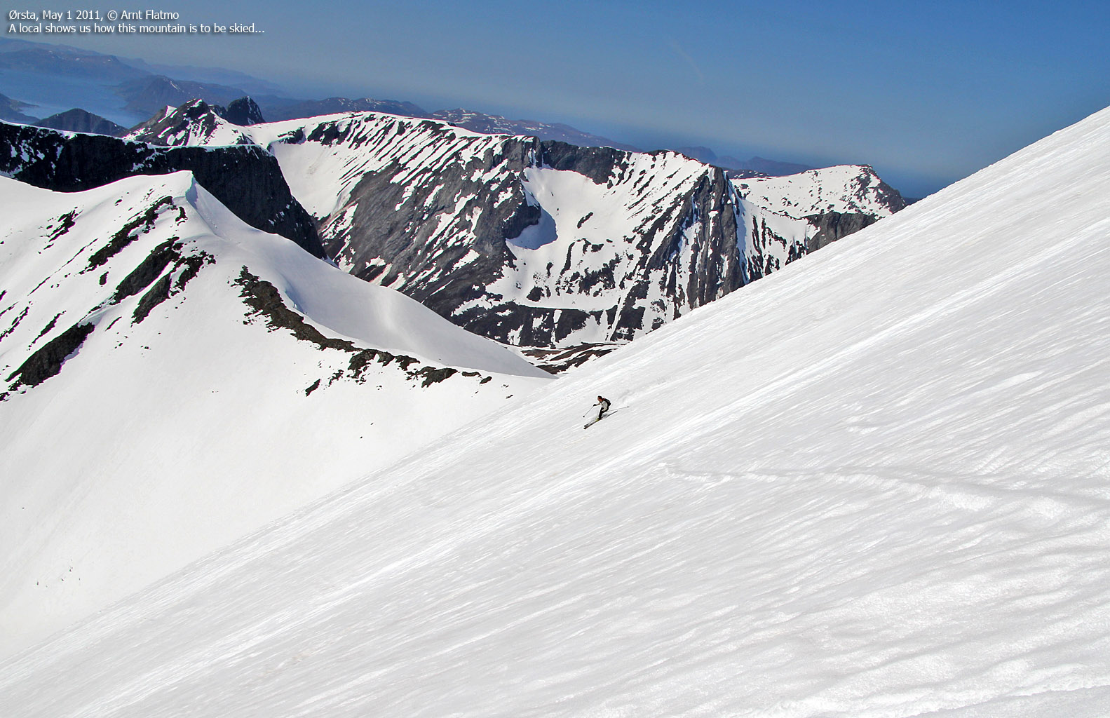
When another group of skiers arrived on the top, we decided to make way and began our descent. I immediately started to look forward to come back and ski down this mountain. No complaints, though - when we returned to our skis, we still had 500 vertical meters of skiing ahead of us. Big fun!
Taking pictures was a bit of a challenge, as the 17-85mm objective got damaged on the Liadalsnipa trip and was now permanently locked on 17mm...

Anne - descending Saudehornet
(Click for larger image)
What? Are you mad?
We returned to the trailhead 3:17pm and were back on Gurskøya within the hour. After taking a shower, I complained that it was still early in the day and suggested a run up to Sollia - the highest point on Gurskøya, as well as the Sande and Herøy high point. Initially, there were few hoorrays, but when Petter saw the opportunity to collect his second major (a peak with a primary factor exceeding 600 meters) for the day, he found it hard to resist. Petter and me went to Moltudalen and hiked/ran Sollia in 1h:24m (8km). Afterwards, Petter made several remarks about visiting me was indeed hard work...
In the meantime, Anne prepared a heavenly dinner that was awaiting when we returned. My oh my - how good life can be sometimes...


