
Norwegian Mountains, Møre og Romsdal
|
| Fylke/Kommune : | Møre og Romsdal/Rauma | ||||||
| Maps : | - (Statens Kartverk, Norge 1:50 000) | ||||||
| Primary factor : |
Tranhaugen: 304m Eikaberget/Ørnahaugen: 109m Funnin, 37m |
||||||
| Hiked : | May 2008 | ||||||
| See also : |
| ||||||
| See also : | Other Molde mountains |

Sekken island
(Click for larger image)
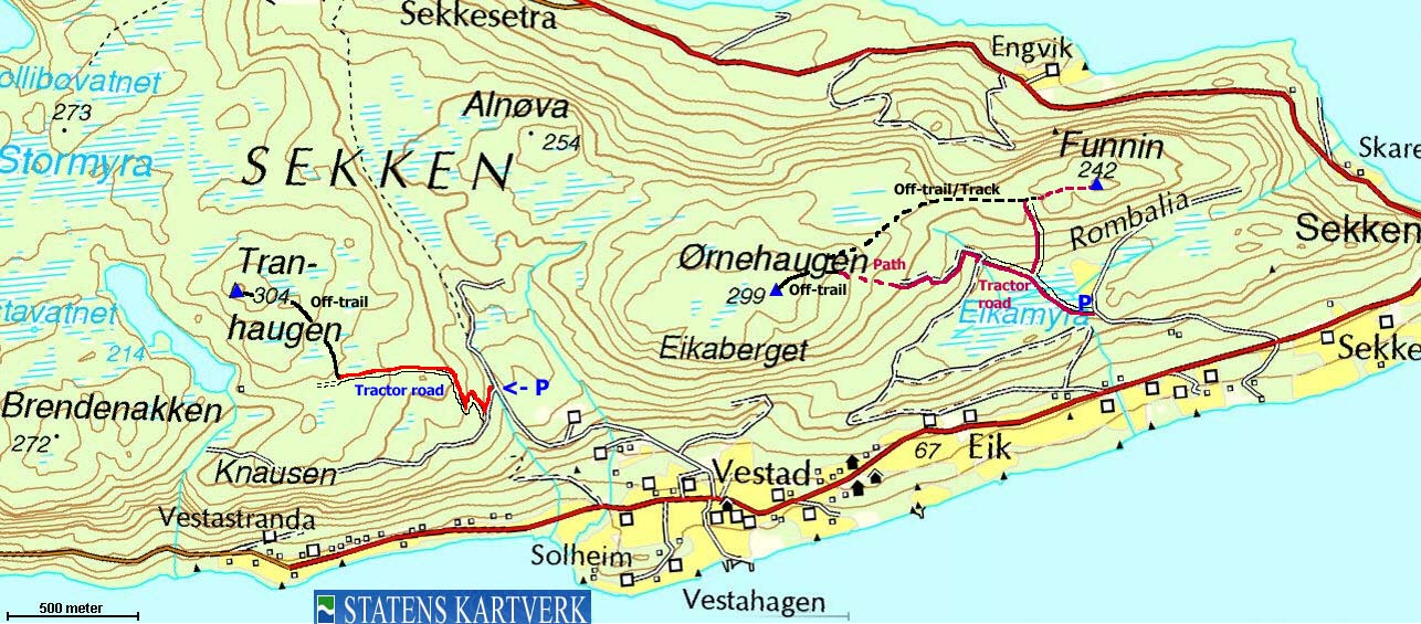
Sekken is an island (18,45km²), located in Romsdalsfjorden. Most of the island is covered with forest, and has a handful tops slighty above or below 300m elevation. A 20Km long gravel road runs around the island, and is a popular bicycling route for visitors.
You reach the island on a 40 minute ferry trip from Molde. On a sunny day, this is a very nice trip with good views all around. From the high points of the island, you also have view towards high Romsdalen and Isterdalen mountains - Store Vengetind, Romsdalshornet, Finnan, Kalskråtinden, to name a few. The Mørkedalen valley runs N-S across the island. An old mountain road is found here, connecting the south and the north side of the island.
This page will describe easy routes to the two highest points on the island - Tranhaugen and Eikaberget, including a descent from Eikaberget via Funnin - a name one could expect to find in Valdres, and not in Romsdal.
Tranhaugen (Norge 1:50,000: 304m, Økonomisk Kartverk: 303,70m, UTM 32 V 412518 6948629) has a primary factor of 304m, being the highest point on Sekken island.
Eikaberget (Ørnahaugen) (Norge 1:50,000: 299m, Økonomisk Kartverk: 302m, UTM 32 V 414567 6948607) has a primary factor of 109m towards the higher parent mountain Tranhaugen (304m). The defining saddle (approx. UTM 32 V 32 V 413048 6949160) is found in Mørkedalen - the valley between the two tops. Ref. Økonomisk Kartverk (5m contours), the saddle is within the range 190-195m, interpolated to 193m.
Google's interactive map. You can zoom, pan and click on the markers.
|
|
|
Notes: Class ratings are in reference to YDS. Click here for more information.
The trails described below are not necessarily the *easiest* trails to this mountain.
A tractor road in the context below, and on
pictures, does not necessarily mean that tractors drive (have driven) on this
road. But such a road is much wider and more prepared than a normal forest
trail. Most of these "tractor roads" may well have been built for horses.
|
Route 1: Vestad - Tranhaugen (summer/autumn)
|
|
Access
(all distances are approx. distances)
From the city of Molde, take the ferry to Sekken island (the ferry docks next to the Molde-Vestnes ferry, wait in the lane left of the Sekken sign). On Sekken, drive up the nearest road junction and turn left (east). Drive 7,8Km to Vestad, on the south side of the island. Turn right onto a gravel road leading into Mørkedalen (not signed). Follow this road 1,1Km upwards until the road forks at 150m elevation.
Park at the fork (without blocking for other traffic), alternatively turn onto the road to your left find parking along the road, 100m up the road (where the trail begins).
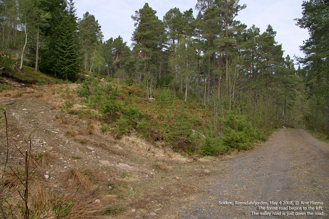
The route
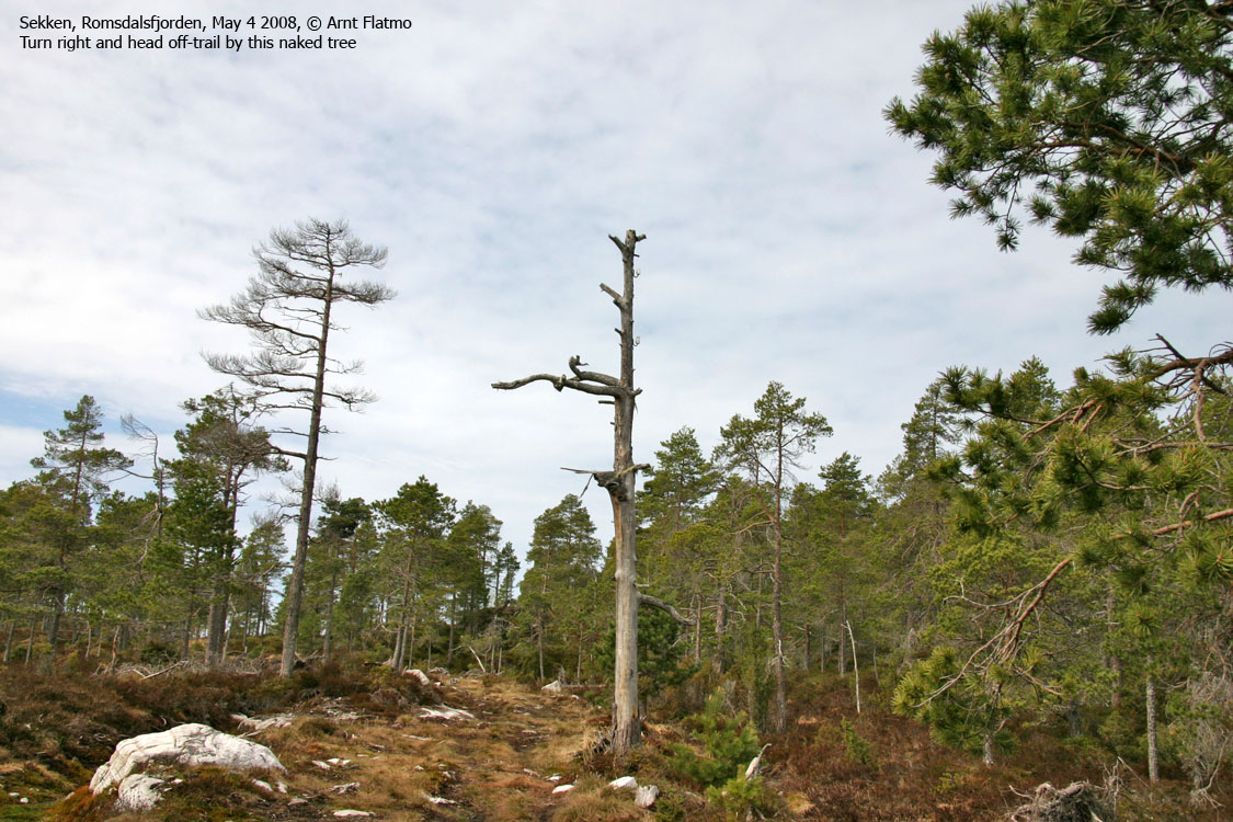
From the fork, follow the road going south (left) 100m. Turn right onto a tractor road (which runs to Lake Vestavatnet) and follow it as it curves up to a meadow at 230m elevation. Locate a charcteristic naked tree (if it still stands) and head off-trail in the northwest direction. There is a suggested route, indicated by red markers in trees, but these are hard to find and follow. The terrain is overall easy, albeit off-trail.
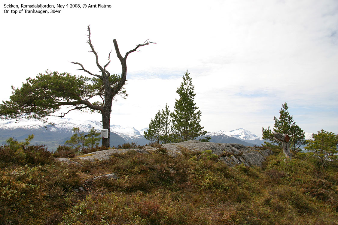
The Tranhaugen high point is just 550m northwest of where you left the tractor road. You'll find a mailbox (containing the visitor register) on a tree. Some trees obscure a 360 deg. panorama, but the view isn't bad. Descend your ascent route.

Vestavatnet seen from Tranhaugen
(Click for larger image)
|
Route 2: Sekkenes - Eikaberget (summer/autumn)
|
|
Access
(all distances are approx. distances)
From the city of Molde, take the ferry to Sekken island (the ferry docks next to the Molde-Vestnes ferry, wait in the lane left of the Sekken sign). On Sekken, drive up the nearest road junction and turn left (east). Drive 5,4Km to Sekkenes, on the southeast side of the island. Turn right onto a gravel road leading up to Eikemyra (not signed). Follow this road 0,9Km up to the parking area on Eikemyra.
The route
From the parking, head southwest and cross a creek (may be dry) in order to locate a tractor road that is not seen from where you parked. After 300m, you reach a tractor road junction. Turn left. If you descend via Funnin, you'll come down the road to the right. Continue 200m westbound on a less distinct trail, and you'll join another tractor road from the south. Continue 400m westbound on this road until it ends (N62.65876 E7.34160).
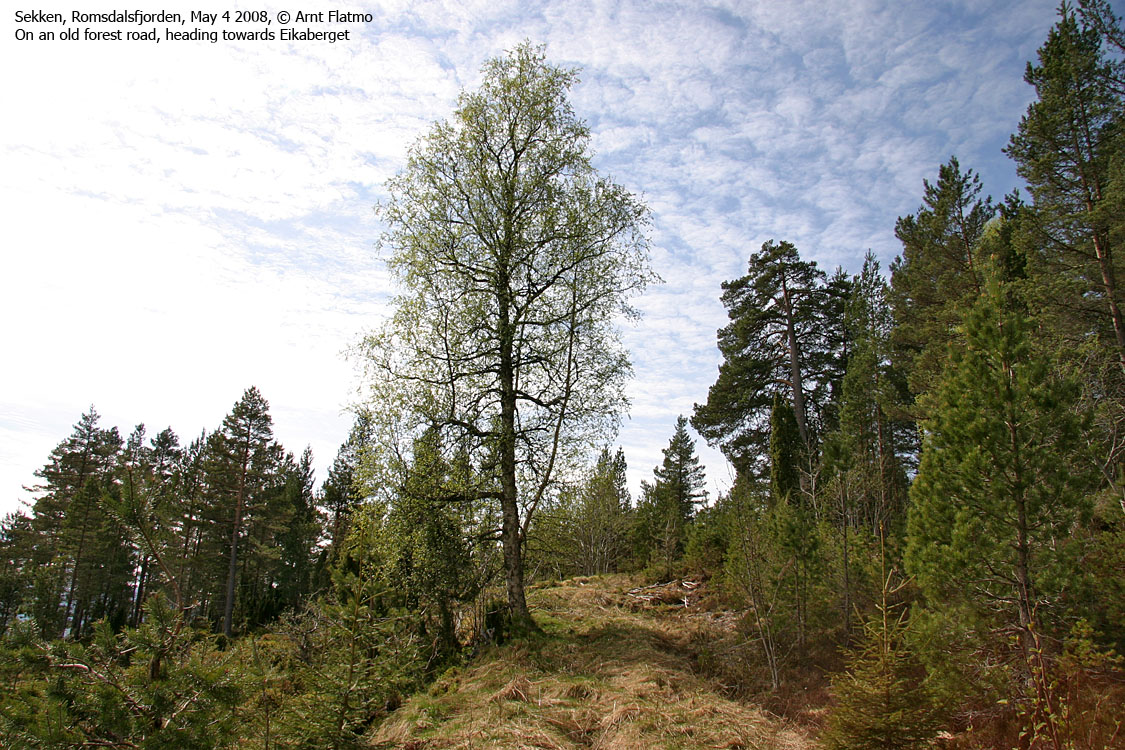
From road end, follow a vague path up a valley until you top out on the Eikaberget - Funnin ridge. Turn left and proceed off-trail the remaining 300m to the top of Eikaberget, which is not marked.
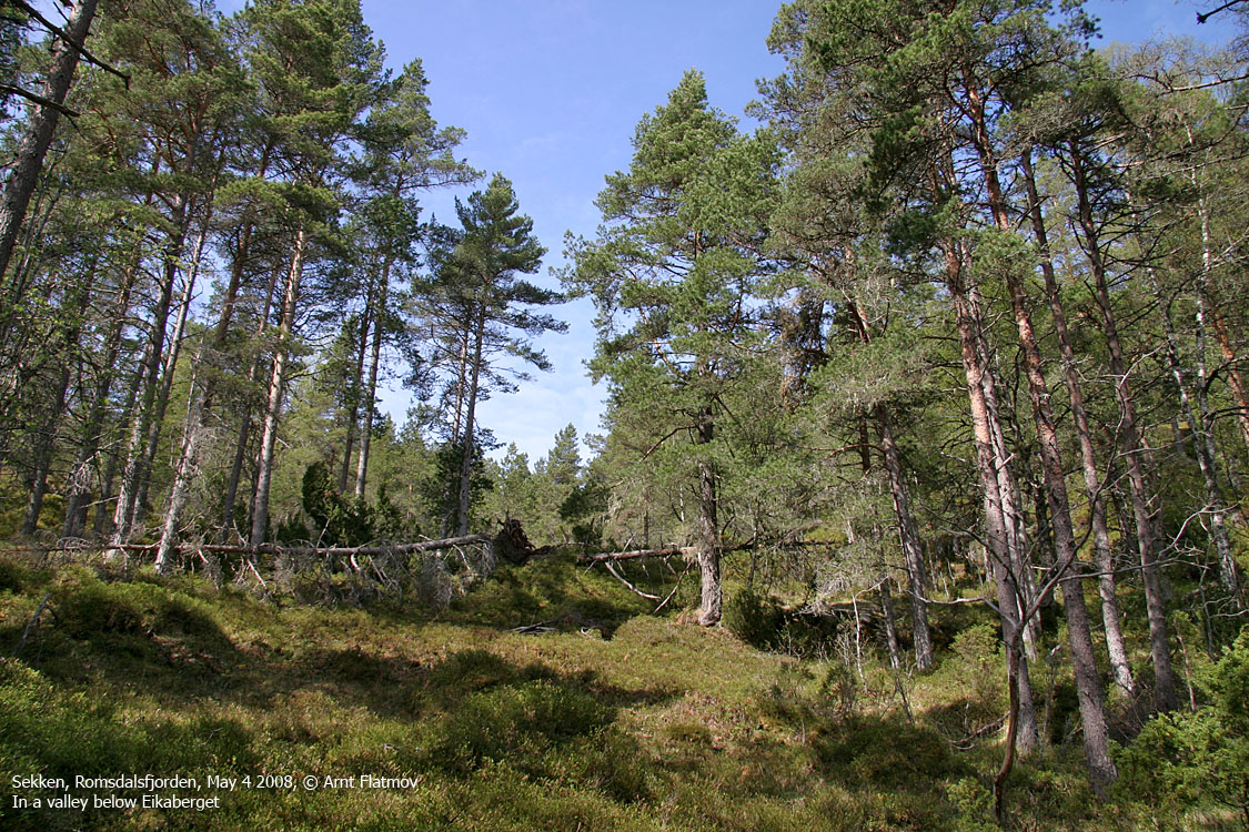
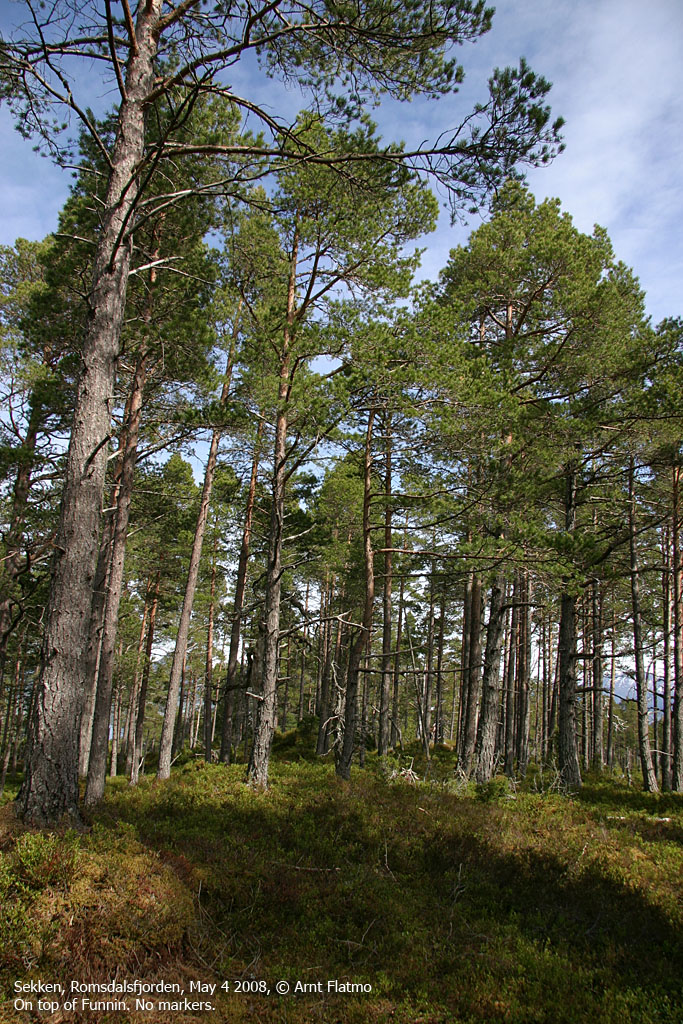
Descend your ascent route, or follow the forest ridge to Funnin (245m). 370m west of Funnin, you'll pass a tractor road that you can follow down the forest, back to the trailhead. From this tractor road, a vague path will guide you eastbound up to the top of Funnin, which is not marked.
 westcoastpeaks.com
Other Møre & Romsdal mountains
Other Norwegian mountains
westcoastpeaks.com
Other Møre & Romsdal mountains
Other Norwegian mountains


