Norwegian Mountains, Sogn og Fjordane
Utvikfjellet
Støyvafjellet, 875m
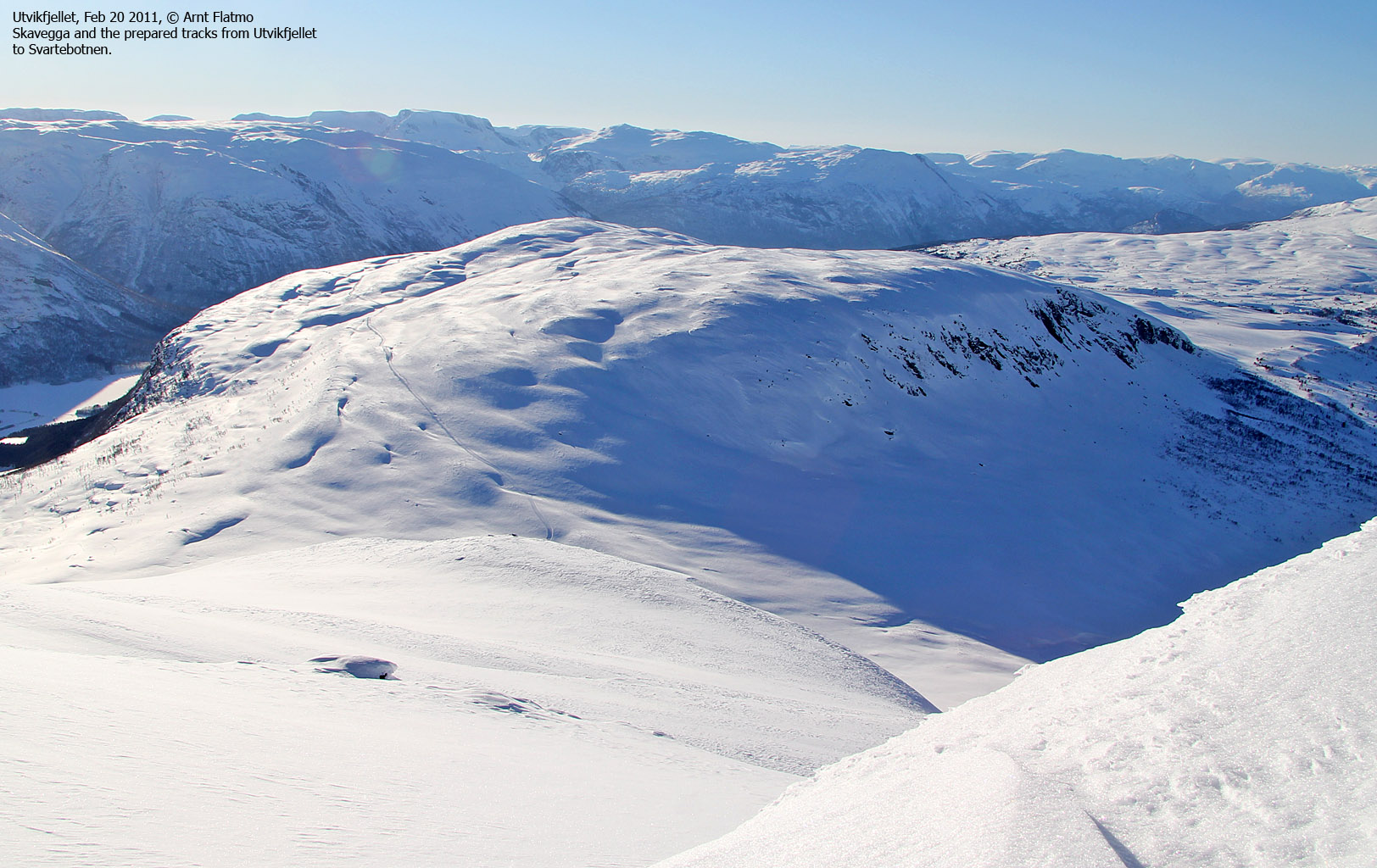
Skavegga, 1075m
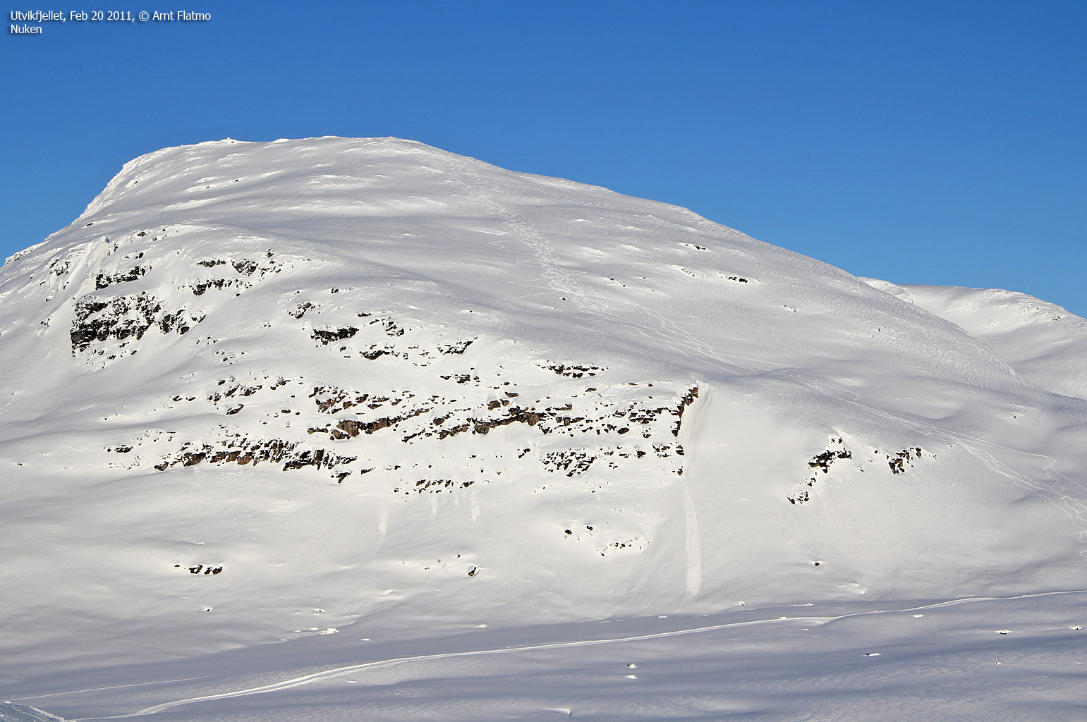
Nuken, 1300m
| Fylke/Kommune : | Sogn og Fjordane/Gloppen & Stryn | ||||||
| Maps : |
1318-IV Hornindal (Statens Kartverk, Norge 1:50 000)
1318-I Stryn (Statens Kartverk, Norge 1:50 000) |
||||||
| Primary factor : |
Støyvafjellet: 42m Skavegga: 254m Nuken: 250m |
||||||
| Hiked : | Feb 2011 | ||||||
| See also : |
| ||||||
| See also : |
Other Sogn og Fjordane
mountains on westcoastpeaks.com |

Introduction
Støyvafjellet, Skavegga and Nuken are tops that are easy to reach from Utvikfjellet. While Støyvafjellet is a modest hill, Skavegga is the most popular of the three. Nuken is a steeper mountain, but not a difficult one. During winter and spring, Utvikfjellet (Breimsbygda Skisenter) is a popular skiing area and the prepared tracks may extend all the way to Snøfjellet to the west and Svartebotnen to the east. As such, you can get to the foot of both Skavegga and Nuken by following the track to Svartebotnen.
You can also reach Blåfjellet
(1470m) from Svartebotnen. If you're looking for a really long trip, you
can continue towards Storlogpiken, Ceciliekruna and Snønipa. You have a superb
view towards Myklebustdalen, Myklebustbreen and Snønipa from Støyvafjellet and
Skavegga.
The Gloppen-Stryn
municipality border runs across Skavegga and Nuken, while Støyvafjellet belongs
to Gloppen.
Skavegga

(Click for larger image)
If you are in luck, you might get a glimpse of the Utvikfjellet reindeer herd. They are wild, but do not spook easily. They wander about on both sides of the road across Utvikfjellet, summer as well as winter. See this page for pictures of the reindeer.
Støyvastøylen is a beautiful cabin village, located by
the foot of Støyvafjellet and Skavegga, and among the very highest in Gloppen.
If you're looking for a short ski-trip, then Støyvastøylen is a good option.
Støyvafjellet and Støyvastøylen

(Click for larger image)
Primary factor:
Støyvafjellet (Norge 1:50,000: 875m, Økonomisk Kartverk: Highest contour: 875m, UTM 32 V 369908 6849725) has a primary factor of 42m towards the higher parent Skavegga (1069m). The defining saddle (approx. UTM 32 V 370223 6850043) is found near Støyvastøylen. Ref. Økonomisk Kartverk (5m contours), the saddle is within the range 830-835m, interpolated to 833m.
Skavegga (Norge 1:50,000: 1075m, Økonomisk Kartverk: -, UTM 32 V 372257 6850956) has a primary factor of 254m towards the higher parent Nuken (1300m). The defining saddle (approx. UTM 32 V 373512 6851085) is found between these two mountains. Ref. Norge 1:50,000 (20m contours), the saddle is within the range 820-840m, interpolated to 830m.
Nuken (Norge 1:50,000: 1300m, Økonomisk Kartverk: -, UTM 32 V 374678 6851659) has a primary factor of 250m towards the higher parent Tverrfjellet (1354m). The defining saddle (approx. UTM 32 V 368317 6850552) is found between these two mountains. Ref. Norge 1:50,000 (20m contours), the saddle is within the range 1040-1060m, interpolated to 1050m.

Google map
Google's interactive map. You can zoom, pan and click on the markers.
|
|
|
Trail descriptions
|
Route 1: Utvikfjellet - Støyvafjellet - Skavegga - Nuken (winter/spring)
|
|
This route description is valid per Feb 2011
Access
(all distances are approx. distances)
The nearest bigger village is
Sandane (has an airport). From Sandane, follow highway E39 east to
Byrkjelo. Turn left in the main junction and follow highway RV60 to
the top of Utvikfjellet. There is a skiing centre here, so you will find
plenty of parking opportunities (N61.76566 E6.50319). Pay the parking fee (NOK 50,-) in a mailbox.
Cash only.
The route from Utvikfjellet

(Click for larger image)
The route
First, you need to get to the top of the ski slopes (840m). Either take the lift of find a route where you don't run the risk of crashing with the alpinists. Chances are that a prepared track run all the way to Svartebotnen. You can follow this track upon your return.
Støyvafjellet:
Head southeast and pass lake 851m (Fløtratjørna) on the south side. The top of Støyvafjellet (875m - N61.75834 E6.53533) is marked by a pointy rock. Descend directly towards the Støyvastøylen cabins.
Skavegga:
From Støyvastøylen, continue directly up to Skavegga's 1057m cairn (N61.76014 E6.56240). If you find the route too steep, you can follow the track up to point 946m and head north up to point 1057m. Continue northeast across the summit plateau and locate a rock (1069m - N61.77017 E6.57891) that (most likely) marks the high point.
Nuken:
From Skavegga, descend to the east, then slightly southeast (to avoid the steepest part). Continue down to Nukaflata (821m - N61.77175 E6.60258). Follow the track until it feels natural to begin the ascent of Nuken. You need to consider if there is any avalanche hazard. If you are in doubt, follow the track in the direction of Svartebotnen and ascend from the east. The east ridge is much less steep than the route from the south. Nuken's high point (N61.77728 E6.62426) is (most likely) 100 meters southeast of the summit cairn (N61.77783 E6.62273).
Descent:
Descend your ascent route from Nuken and follow the track back to the trailhead on Utvikfjellet.

Pictures and Trip reports:
- Skavegga on skis, Apr 2 2024
- Støyvafjellet and nice colors, Nov 1 2022
- Støyvafjellet, Sep 30 2022
- Støyvafjellet, June 8 2022
- Støyvafjellet, Sep 28 2017
- Utvikfjellet - Skavegga - Nuken on skis, Feb 20 2011
- Skavegga & Nuken seen from other mountains
- Støyvafjellet and nice colors, Nov 1 2022


