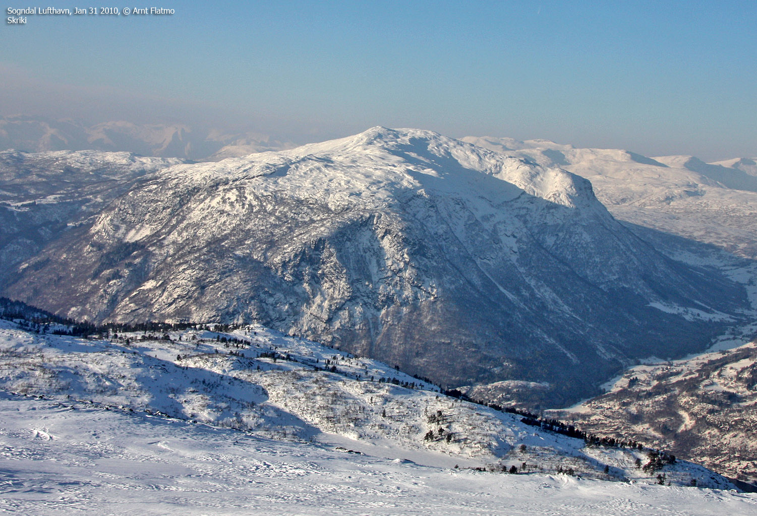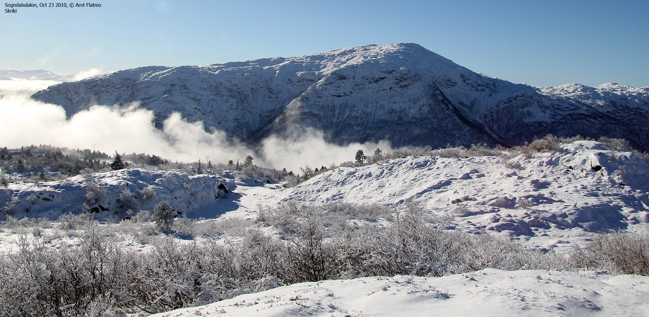
Norwegian Mountains, Sogn og Fjordane
Skriki, 1232m (Veten)
| Fylke/Kommune : | Sogn og Fjordane/Sogndal | ||||||||||||||||||||||
| Maps : |
1417-III Sogndal (Statens Kartverk, Norge 1:50 000)
1317-II Leikanger (Statens Kartverk, Norge 1:50 000) |
||||||||||||||||||||||
| Primary factor : | 514m | ||||||||||||||||||||||
| Hiked : | June 2010 | ||||||||||||||||||||||
| See also : |
| ||||||||||||||||||||||
| See also : | Other Sogn og Fjordane mountains on westcoastpeaks.com |

Introduction
Skriki (aka Veten) is a large mountain, located between Leikanger and Sogndal by Sognefjorden. The normal starting point is at the top of Øvstedalen valley, but you can also reach this mountain from Nornes by Sognefjorden. This page will describe the classic round trip hike, from Øvstedalen to Nornes.
Both routes to the top are quite easy (except for the length and the vertical gain). You have a tremendous view towards the numerous mountains surrounding Sognefjorden, in addition to the Hurrungane mountain range.

Skriki seen from Slakkafjellet

(Click for larger image)
In addition to Skriki summit, there is a viewpoint cairn 300 meters to the southeast. Make sure to also visit this viewpoint for better views towards Sognefjorden.

Primary factor:
Skriki (Norge 1:50,000: 1232m, Økonomisk Kartverk: -, UTM 32 V 390346 6786536) has a primary factor of 514m towards the higher parent Blåfjellet (1401m). The defining saddle (approx. UTM 32 V 388173 6789020) is found near Lomtjørni. Ref. Økonomisk Kartverk (5m contours), the saddle is within the range 715-720m, interpolated to 718m.
GPS measurement read 1235m (on the ground), averaged over a 5-minute period (error margin +/- 0,7m).

Google map
Google's interactive map. You can zoom, pan and click on the markers.
|
|
|
Trail descriptions
|
Route 1: Øvstedalen - Skriki - Nornes round trip (summer/autumn)
|
|
This route description is valid per June 2010
Access
(all distances are approx. distances)
The nearest bigger town is
Sogndal (has an airport). From the RV5/RV55 roundabout in Sogndal, follow
RV55 towards Hella/Balestrand for approx. 7km. At Fardal,
turn right onto the Øvstedalen road - signposted Raunehaug
(N61.19179 E7.02314). Follow the main road upwards for 1,7km, then left
right at a fork (N61.20041 E7.01481). Continue 3,4km up the valley until
you reach the end of the main road. Find parking on your right-hand side
(N61.21819 E6.96989).

To Skriki
Just before reaching the road end, you passed the Skriki signpost. Walk back to this signpost and follow a path down to the river. Cross Fardalselvi on a bridge and locate the path that runs up to the Kinn cabins (N61.21502 E6.96599).
Search for the forest path that continues along the nearest creek (ref. the map) and follow it up the forest. Chances are that you'll lose the path, but just keep heading upwards, in the direction of Skriksvatnet. Look for a mailbox (N61.20435 E6.95349) below Vesleskriki, and you will see the mountain path that takes you onto the ridge above Skriksvatnet.
Once on the ridge, take the easiest route (expect to lose the path again) towards Skriki summit (N61.19784 E6.95966). Continue 320 meters to the southeast and sign the visitor register at Skriki's south point (N61.19510 E6.96140). The main Skriki cairn is located here.

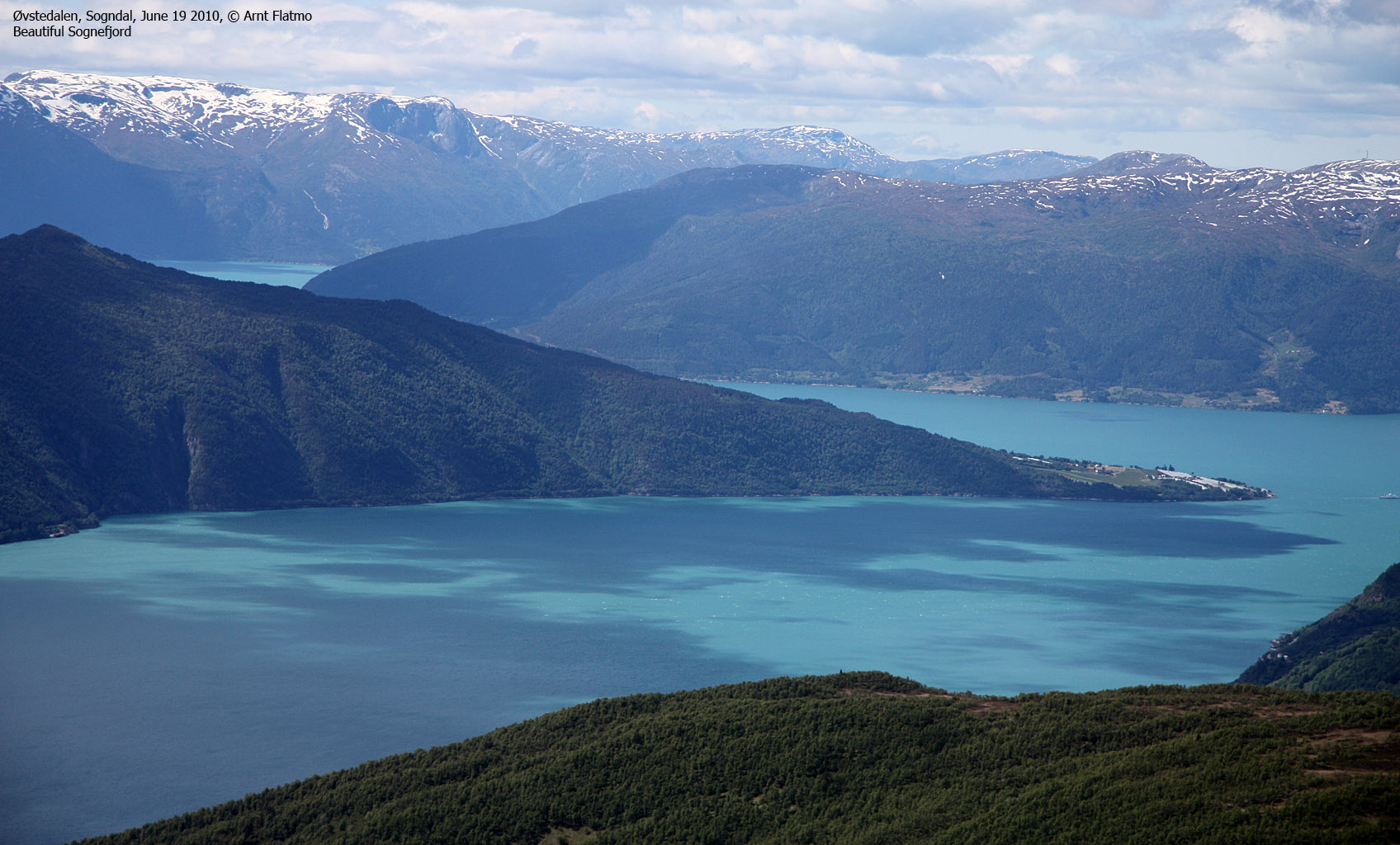
Sognefjorden

(Click for larger image)
To Nornes
From the cairn, follow the southwest ridge and gradually head towards Guddalen (ruins, N61.18493 E6.94945). The path towards Breidesete can be found here. At Breidesete (N61.17536 E6.95909), go 150 meters to the east and look for a forest path (do not descend the tractor road). Follow this path all the way down to Nornes (stop by the Klanten viewpoint (N61.16999 E6.98033) along the way) and call Sogndal Taxi (57 67 10 00) unless you have plans for other transport.
Pictures and Trip reports:
- Skriki from Øvstedalen, Aug 17 2020
- Across Skriki, June 19 2010
- Skriki seen from other mountanis


