
For Information, maps, trailhead and route descriptions, click HERE.
Bad weather all around, this Easter. A dump of snow during the night, made the roads slippery. I chose to stay near the city. A bit "annoying", was the fact that the sun was shining most of the time, only disturbed by temporarily passing snowfalls. Above 300m elevation, even the sun couldn't protect from the blistering cold wind. As I have a small four-legged buddy to care about, today's walk would have to be in the lowlands.
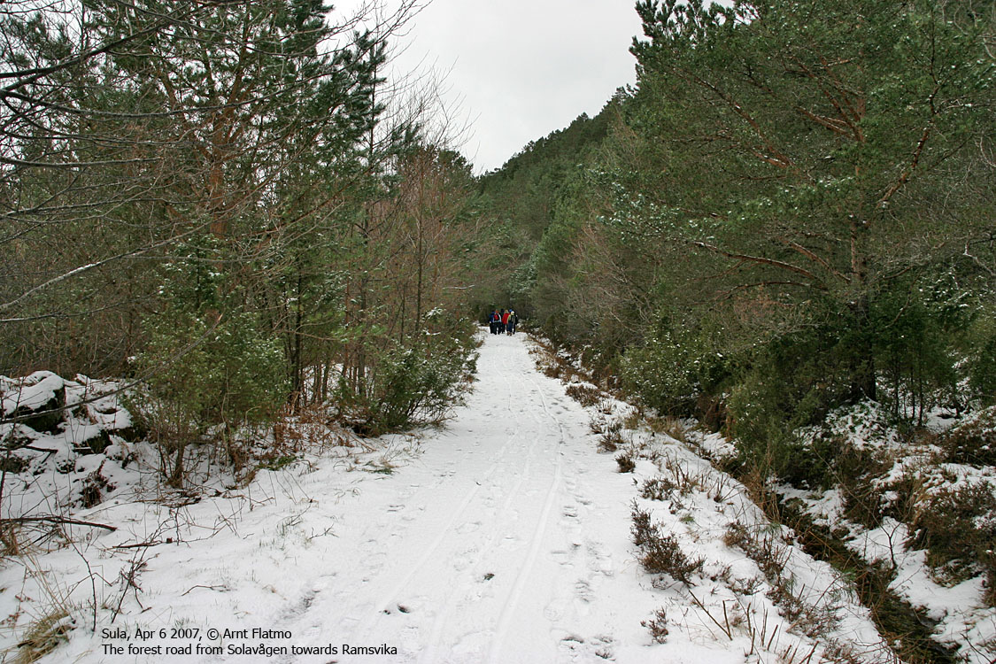
I decided to "explore" Solavågsfjellet. I had only been up there once, pretty much off-trail and in darkness. This time, I drove to the west side of Solavågen, met a group of people out for a walk, and was told about a roundtrip route. The dog and I headed out 11:50AM, on the forest road to Ramsvika, protected from the cold winds.
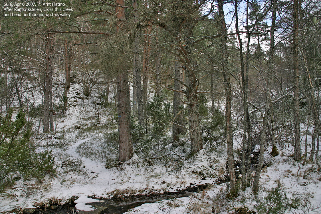
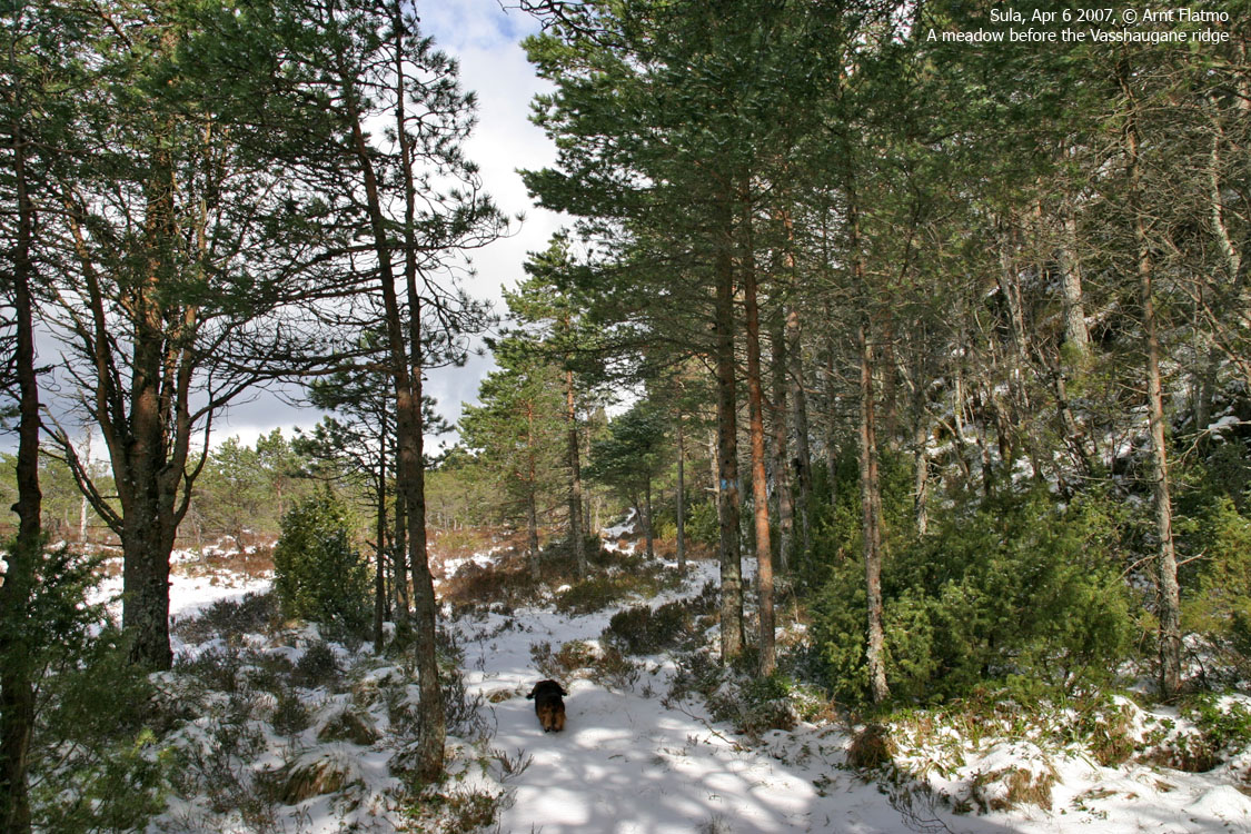
At the junction that was described to me, we left the forest road and headed up to the ruins of Ramsvikstølen, after a short visit down to the Ramsvika bay. There was only a thin layer of snow in the forest, and the dog could easily walk this fine trail. It was simply a nice day and good to be outside. 300-400 vertical meters above, on some other mountain, everything would be different. A mental picture of the dog, the day before came to mind.
We reached the top of Solavågsfjellet 12:55PM. The descent route, as it had been described to me, was obvious. A few other hikers arrived at the top within minutes, and we chatted for a while. We then descended what has to be called the east ridge, and joined the road near the bridge across Solavågen bay. 13:40PM, we were back at the trailhead, and I had now a much better understanding of the Solavågsfjellet forest.
To Solavågsfjellet


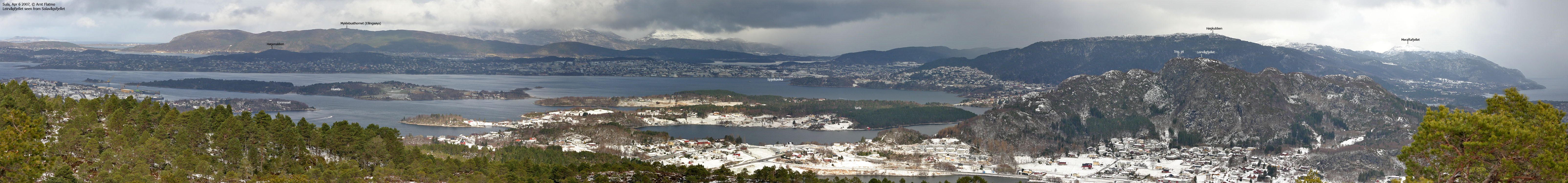
Wide-angle view from Solavågsfjellet

50mm views from Solavågsfellet


Ålesund zoomed in from Solavågsfjellet

No Javascript:
1 2 3 4 5 6 7 8 9 10 11 12 13 14 15 16 17
 westcoastpeaks.com
Other Møre & Romsdal mountains
Other Norwegian mountains
westcoastpeaks.com
Other Møre & Romsdal mountains
Other Norwegian mountains