
Norwegian Mountains, Møre og Romsdal
Øyrahornet round trip, Jan 3 2009
To the main Sollia page (maps, route descriptions, other trip reports, etc.)

Route up and down Øyrahornet
(Click for larger image)
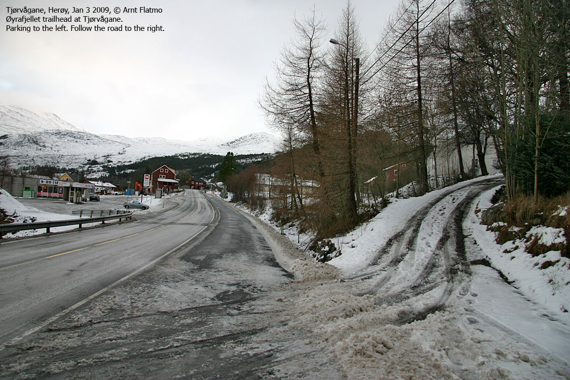
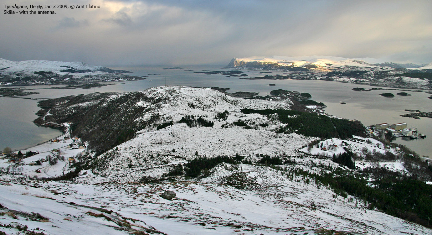
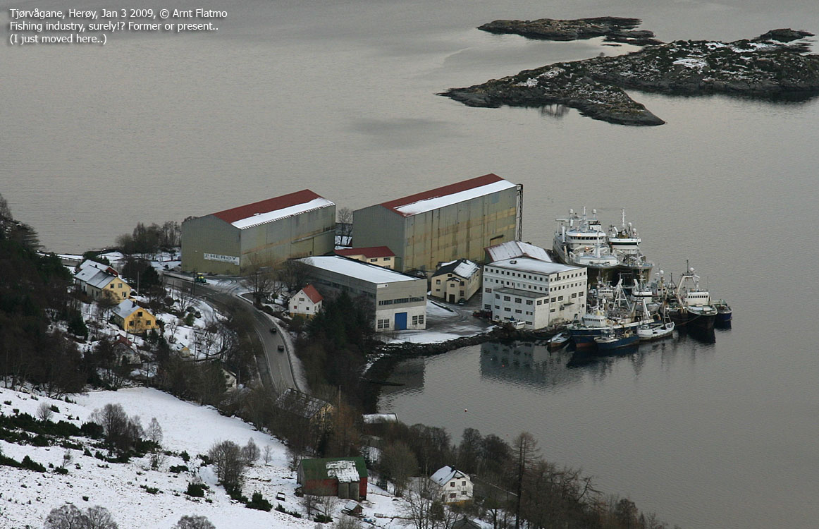
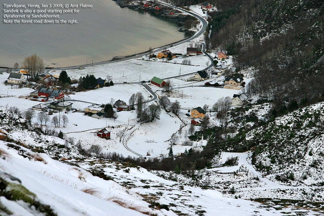
Øyrahornet is a nice viewpoint located 3,4km northeast of Sollia - the dominating mountain massif on Gurskøya island. A good starting point is the Coop Mega grocery store (per Jan. 2009!) at Tjørvågane. After 500m on the Tjørvågane - Sandvika forest road (from Tjørvågane), one follows a mountain path up Øyrahornet's northeast ridge. This route has become one of my regular afternoon walks.
This Saturday walk had a touch of humor to it. I parked outside the Coop store and began the usual procedures of getting ready for the hike. I had parked in the outskirts of the parking area, as I wasn't going shopping. As it was quite windy, I decided to put on the headnecker. Getting the headnecker on can sometimes be a bit awkward, and I walked back and forth, blindfolded, trying to find the opening on top. Once the headnecker was in order, I noticed 3-4 people inside the store, staring at me. When they realized I had seen them, their heads disappeared from the window. Only to come back seconds later. To vanish again, and to come back again...
"They must think I'm about to mug the store", I thought to myself. And figured I'd better go in and settle the situation. As I entered the store, I was immediately told that the reason they stared was because I had such a cool car. "Thanks. Can I park here", I asked. "Yes, yes, yes", they replied, hoping this would settle the awkward situation. I chuckled all the way to Øyrahornet..

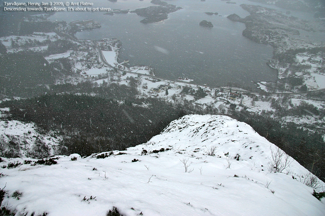
Tjørvågane
(Click for larger image)
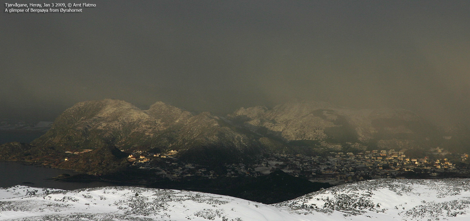
The weather was nice, and I arrived on Øyrahornet 12:05PM, 55 minutes after heading out. The vertical gain was only 400m, but the snow was deep at times, and I stopped numerous times for pictures. The top was marked by a modest cairn, and the top was far from prominent, but it was a mighty nice viewpoint.
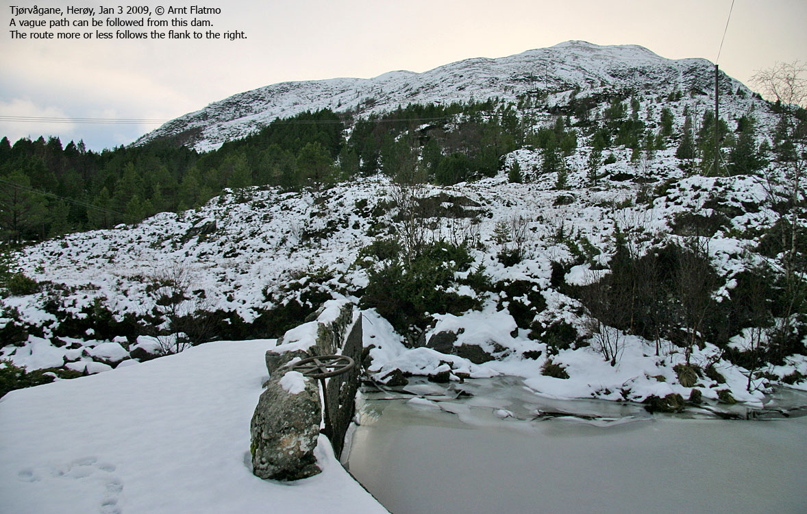
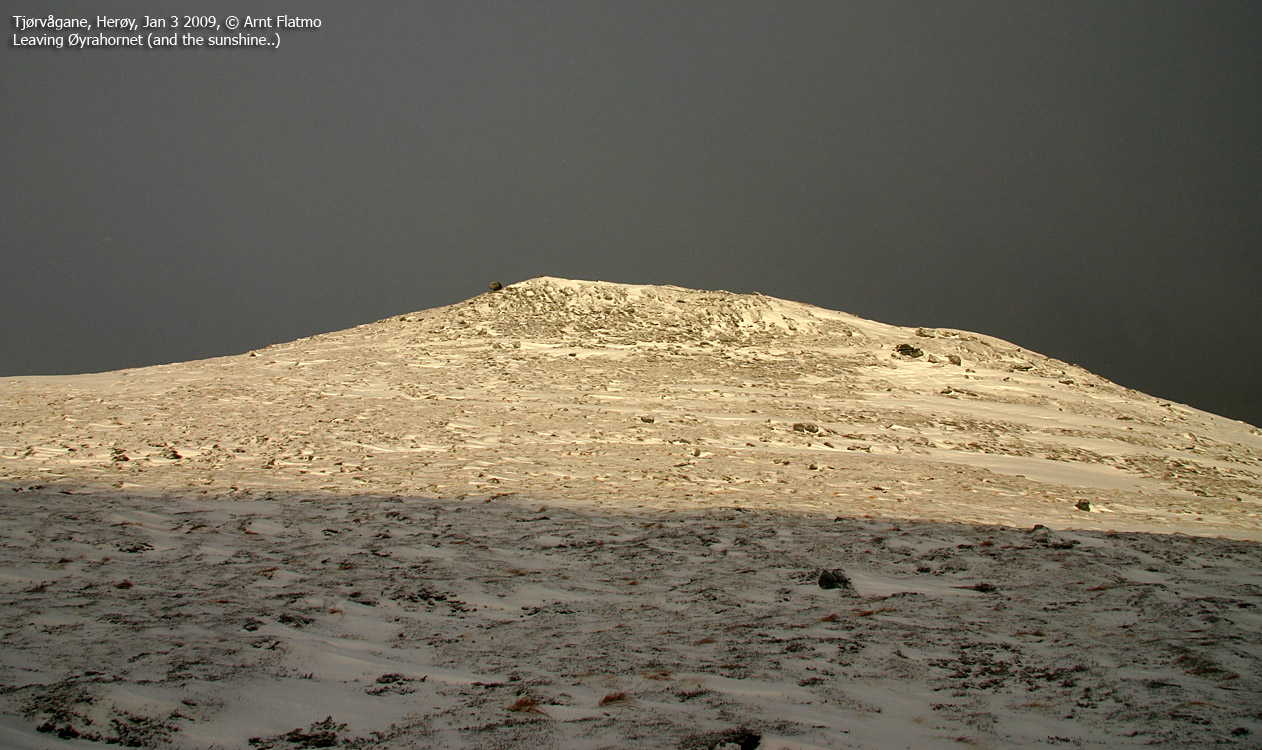
I had been keeping an eye out for an inbound snow shower. It was only minutes from hitting Gurskøya, and the contrasts were quite beautiful and dramatic. I decided to descend a ridge parallel to the route I had ascended. This was a steep route, and there was (apparently) no path below the snow. I don't feel any urge to ever ascend Øyrahornet on this route, but it allowed for a swift descent. After having passed through the forest, I ran across a path that I followed to the northeast and I joined the highway only 500m away from my starting point.
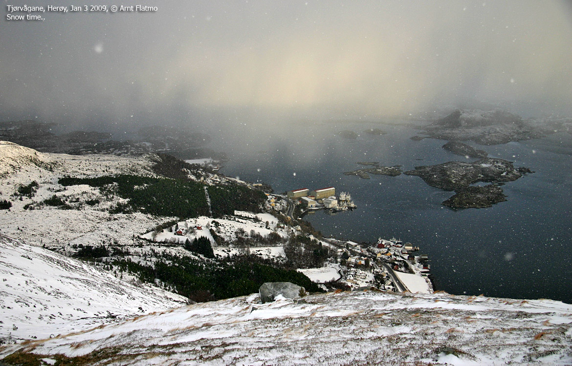
Inbound..
(Click for larger image)


