
Norwegian Mountains, Sogn og Fjordane
Pollatinden (541m), Urdanipa (133m), Husefjellet (160m), Liafjellet (242m), Vardefjellet (315m) - June 25 2011
To the main Solund page (maps, route descriptions, other trip reports, etc.)

Coastal madness
(Click for larger image)
Day 2
Day 1 in Solund turned out to be a quite busy one, with 5 coastal tops and 1150 vertical meters. And knowing myself - day 2 could easily get a bit busy too. Better get a good start with a solid breakfast in our apartment at Internatet. The day started out cloudy, but we kept the faith. The weather forecast had promised that Solund was a good place to be this weekend.
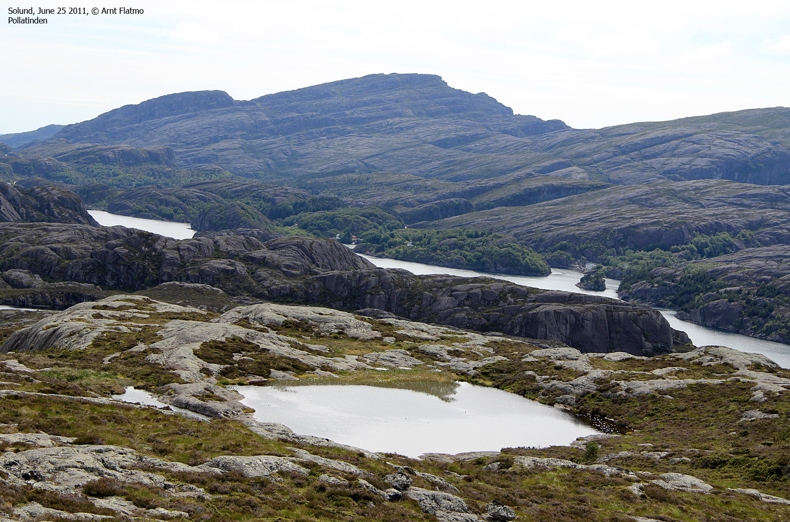
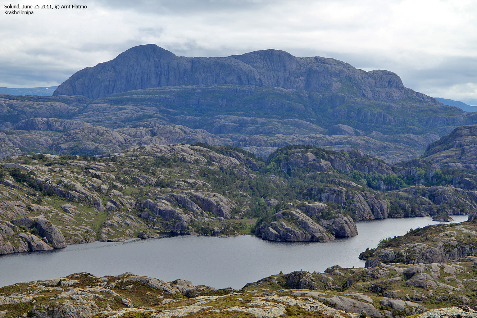
Pollatinden (541m)
Anne and me decided to start the day by hiking Pollatinden - the 3rd highest mountain top in Solund after Krakhellenipa and Mednipa. The trailhead by Pollen was easy to locate, and by 10:50am we were on our way up the mountain. The 2,3km marked route to the top was easy to follow and we had fun scrambling on a couple of rocks along the way. There was light rain in the air, but we didn't pay attention to it. We reached the top 11:55am - 1h:05m after heading out. Great views!

On Pollatinden
(Click for larger image)
On the way down, we met a small group of hikers - heading upwards These were the first hikers we had seen since we arrived in Solund. After a pleasant conversation, we moved on and returned to the trailhead 12:55pm and since we now had seen a great deal of Sula's south side, we decided to drive up north.
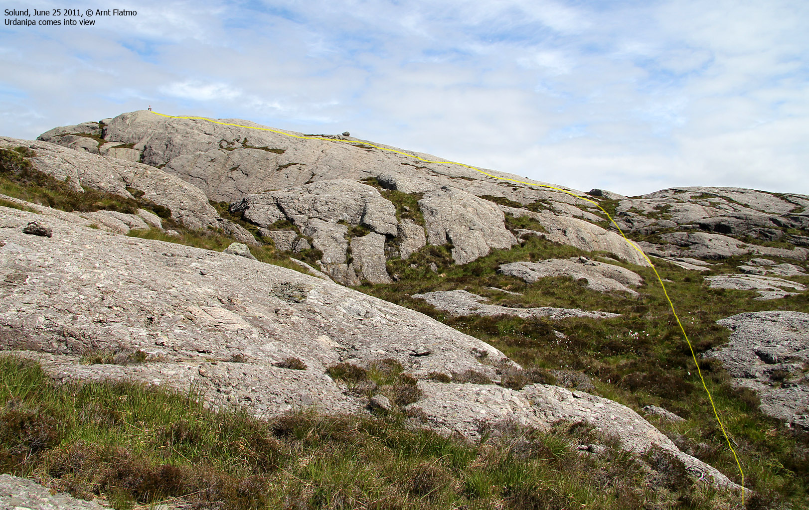
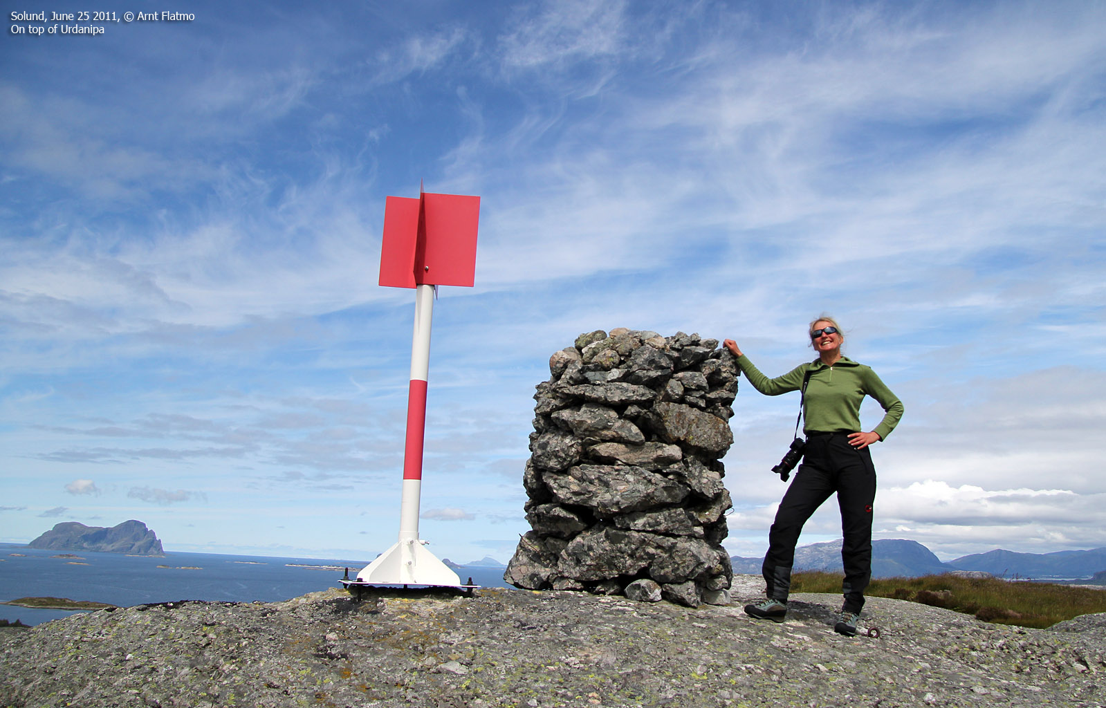
Urdanipa (133m)
Urdanipa is one of the northernmost tops in Solund, and is a short hike from the road to Leknessundet. We chose a starting point that seemed logical, and found a path. We followed this path to the summit, and the 700 meters walk took only 16 minutes. Urdanipa was also a very good viewpoint towards the cool coastal tops to the north - Instenova on Alden, Kinn, Batalden, Storenipa on Tvibyrge - to name a few. It was also very interesting to see the oil rigs out in the sea. I had never seen them so "close" before.

Coastal tops
(Click for larger image)
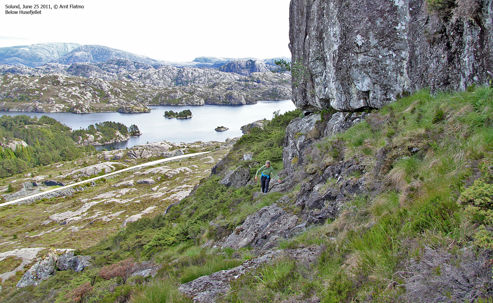
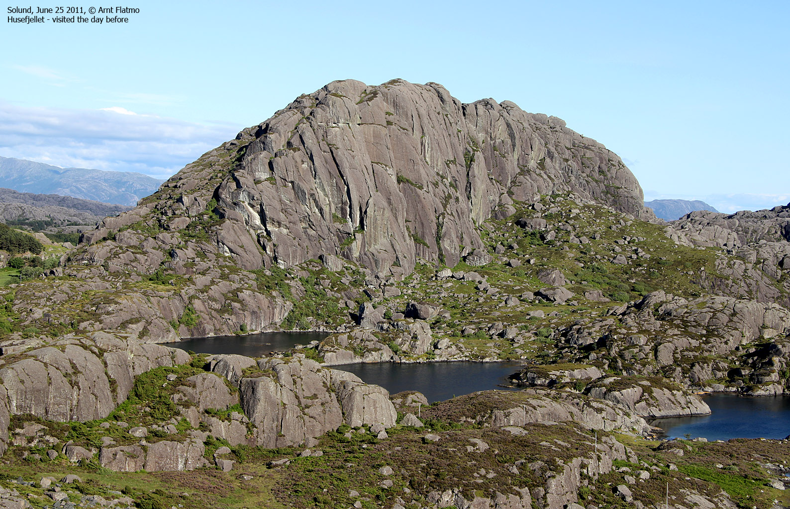
Husefjellet (160m)
We hiked a mountain top called Husefjellet the day before, but there's always room for one more. This particular Husefjellet is 8 meters lower than the one on Steinsundøyna and is located above Hersvikbygda. We found a signpost and a path near the Hersvikbygda centre, but after a few minutes it became evident that this path (at best) would take us all the way to the south side of the mountain.
We grew impatient and found a convenient short-cut up the north side of the mountain. After a 25-minute and 1km walk, we reached the top 2:45pm. We only stayed on top for a few minutes before we headed back down. The afternoon was well on its way and we had more tops on our to-do list.

Husefjellet
(Click for larger image)
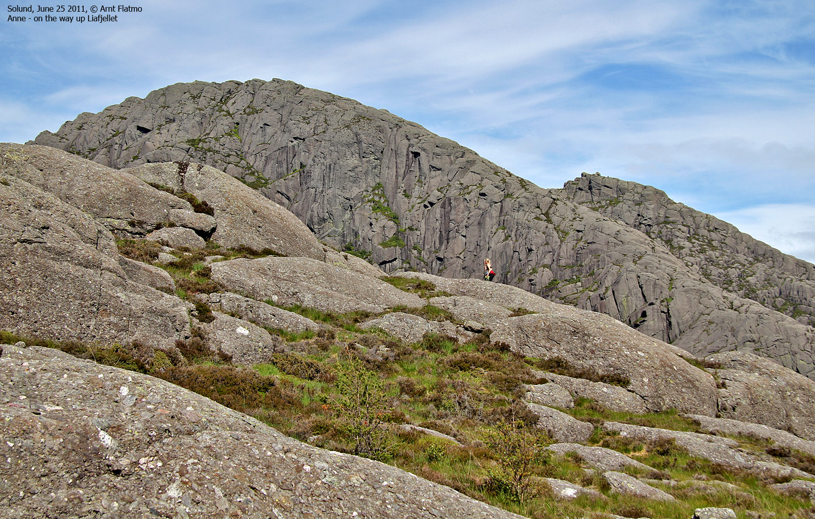
Liafjellet (242m)
Liafjellet is a fun top just north of Hardbakke. We noticed this top on Hardbakkefjellet the day before and agreed to pay it a visit the following day. Our starting point by Kvernhusvatnet was not a good one, and we had to scramble up from the lake - not quite knowing where this route would take us.
But soon enough, we were on our way up the south ridge and reached the top 4:30pm - after a 1,6km hike. The summit area is a bit rugged (ref. the picture on top of this page), and is also a good viewpoint towards the terrain around Liasundet.
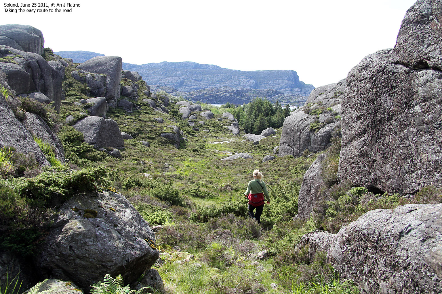
This was our 4th top for the day, and the weather was getting better by the minute. My ambition for our 3-day stay in Solund was 10 tops, and we had now done 9 coastal tops in 2 days. I pleaded to Anne, and she gave me thumbs up for one more top this afternoon. But first - she wanted to visit the DNT cabin at Råkeneset. At the foot of the south ridge, we followed the valley to the west and joined the road near nordre Lia - staying clear of the awkward terrain around Kvernhusvatnet.

Our Liafjellet descent route
(Click for larger image)
Råkeneset ...
...is the westernmost cabin owned by the Norwegian Mountain Touring Association (DNT), and is located near Liasundet - a 20 minute walk from the road to Strand. The cabin is self-serviced and has 3 (or was it 4?) double beds.

At Råkeneset
(Click for larger image)
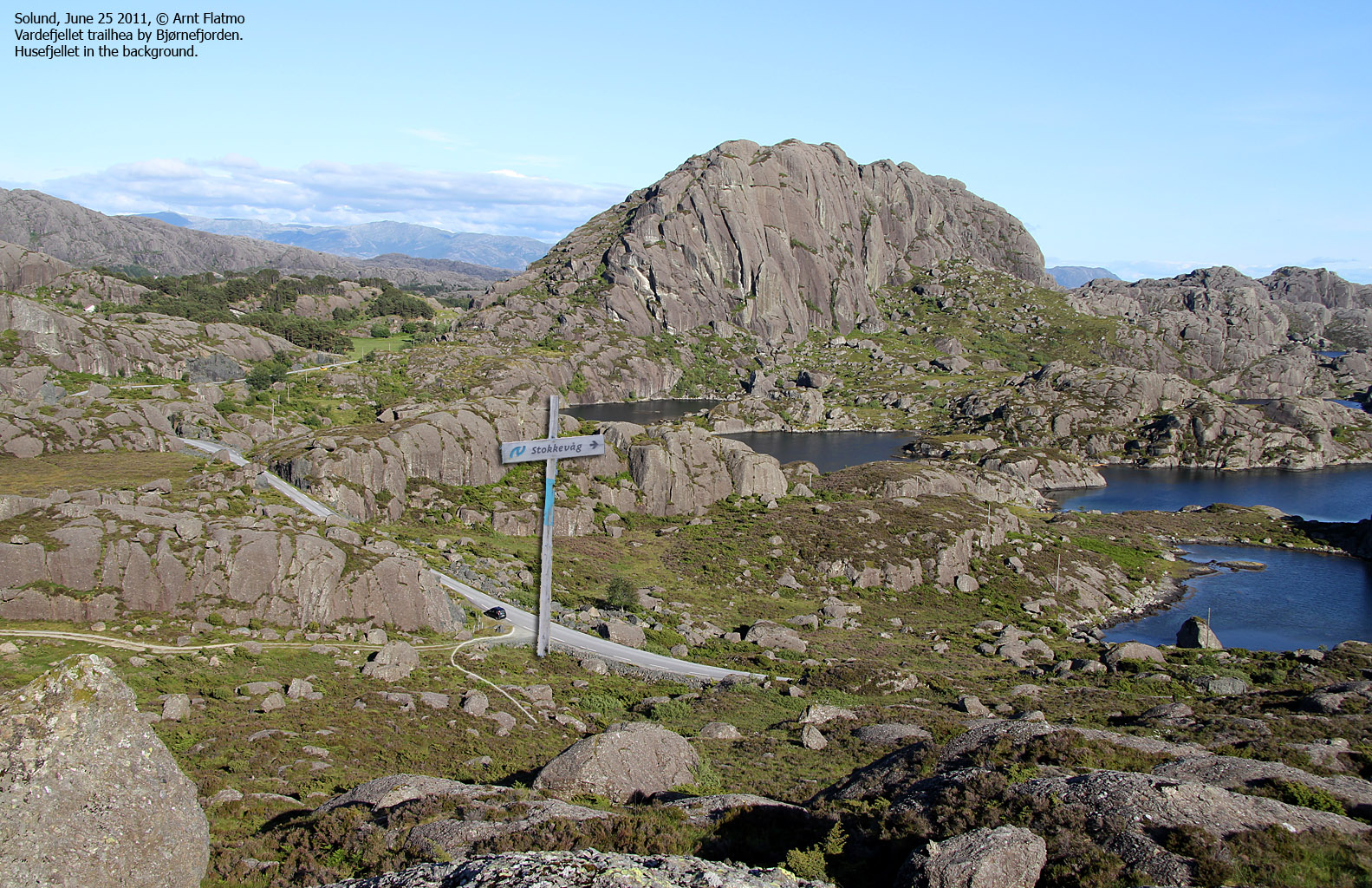
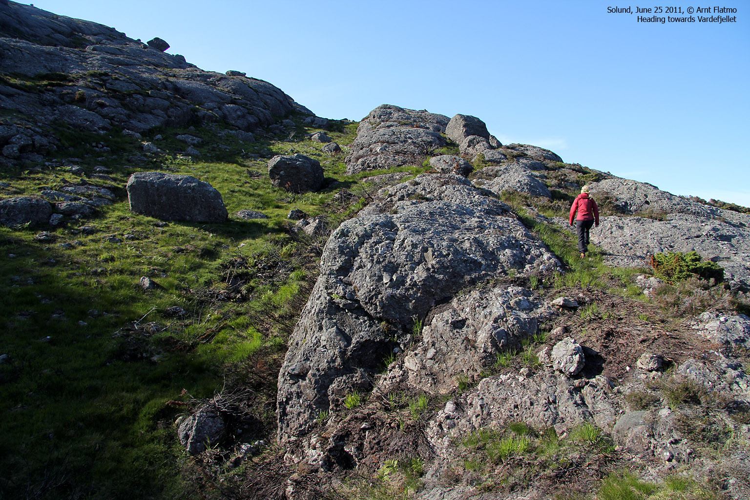
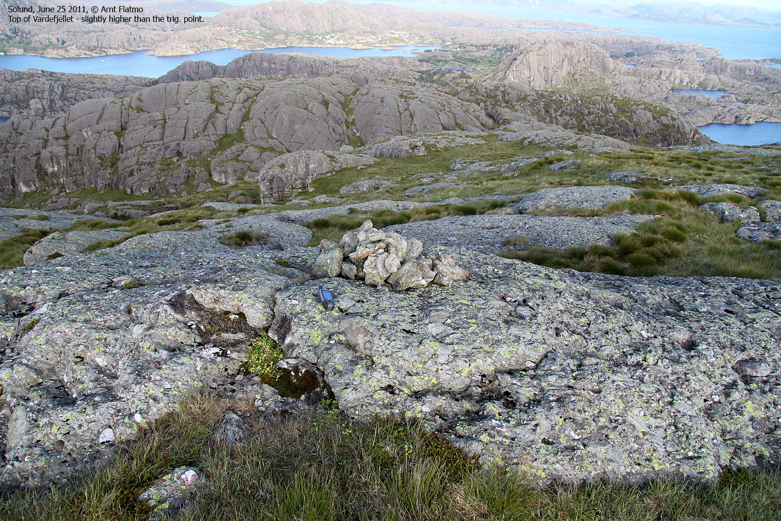
Vardefjellet on Steinsundøyna (315m)
Like the day before, we chose to end our hiking activity on Steinsundøyna - this time with the highest point (Vardefjellet) as the target. Our information sources told us to look for a path near Selvika (Bjørnefjorden). We found the Stokkevåg signpost and were a bit uncertain about this, as Stokkevåg was a bay far to the north. A car was approaching, and I stopped it. Based on the information we got, we quickly located the path to Vardefjellet. Anne seemed a bit surprised about me just stopping a car in pursuit of information...
")
Vardefjellet (left)
(Click for larger image)
After a nice 1,7km hike, we reached the top of Vardefjellet 7:45pm. To the west was Ytre Sula, where we planned to go the next day. All in all, Vardefjellet was a most excellent viewpoint, but as the day was fading and we were hungry, we didn't hang around for long. But on the way down, some huge rocks caught our attention and we simply had to climb some of them.

Climbing rocks on Vardefjellet
(Click for larger image)
8:37pm, our second day of hiking had come to an end. It was time to return to Hardbakke to enjoy a good dinner and prepare for our next and final day in Solund.
Pictures
The pictures were taken with a Canon EOS 550D + Canon EF-S 17-85mm IS USM F 4-5.6 and Canon EF 75-300mm f/4-5.6 IS USM + a Canon Powershot G12


