
Norwegian Mountains, Møre og Romsdal
Svartetua, Blåfelden, Fuglehovudet, Aug 16 2009
To the main Svartetua/Fuglehovudet page (maps, route descriptions, other trip reports, etc.)

Blåfelden seen from Syvden
(Click for larger image)
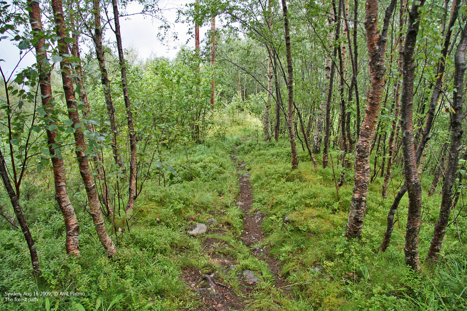
For a visit to a mountain as dominating as Svartetua, I should definitely have picked a better weather day. But my mind was set on Svartetua and Blåfelden on this Sunday, so the weather became second priority. The GPS brought me close to the trailhead, but not close enough. I asked two men where the trailhead was. One of them ignored me completely, the other just pointed up the road. Then they resumed talking.
What was this? "If you're man enough to walk the mountain, you should be man enough to find the trailhead"? But I didn't let go. "Where exactly is the trailhead", I asked. The one who had pointed now ignored me, while the other one pointed in the same direction. And just when I was about to launch a witty remark, such as "I'm glad you both agree on this..", I was told I should keep on driving for 200m.
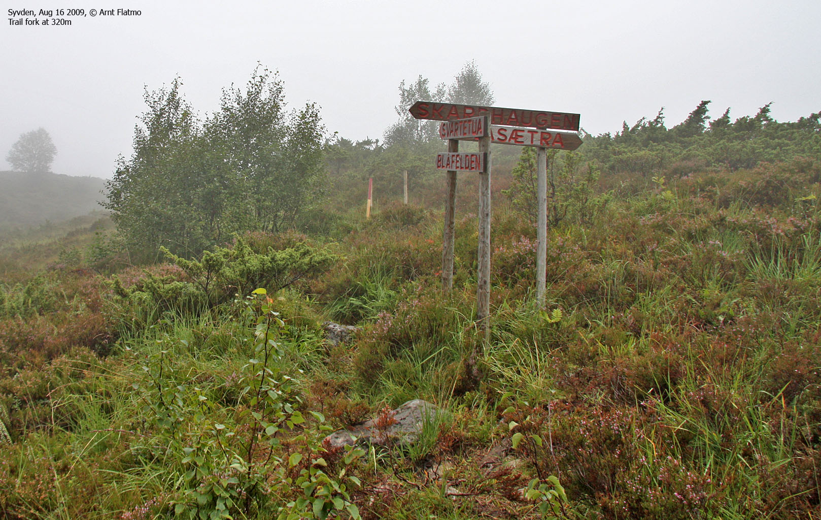
That was pretty exact information, because 200m down the road, a massive signpost told me I had found the trailhead. 1:13pm, I was on my way up the mountain, in pouring rain. I don't necessarily believe in guardian angels, but 5 minutes later, the rain stopped and I had a nice view towards Syvden.

Syvden
(Click for larger image)
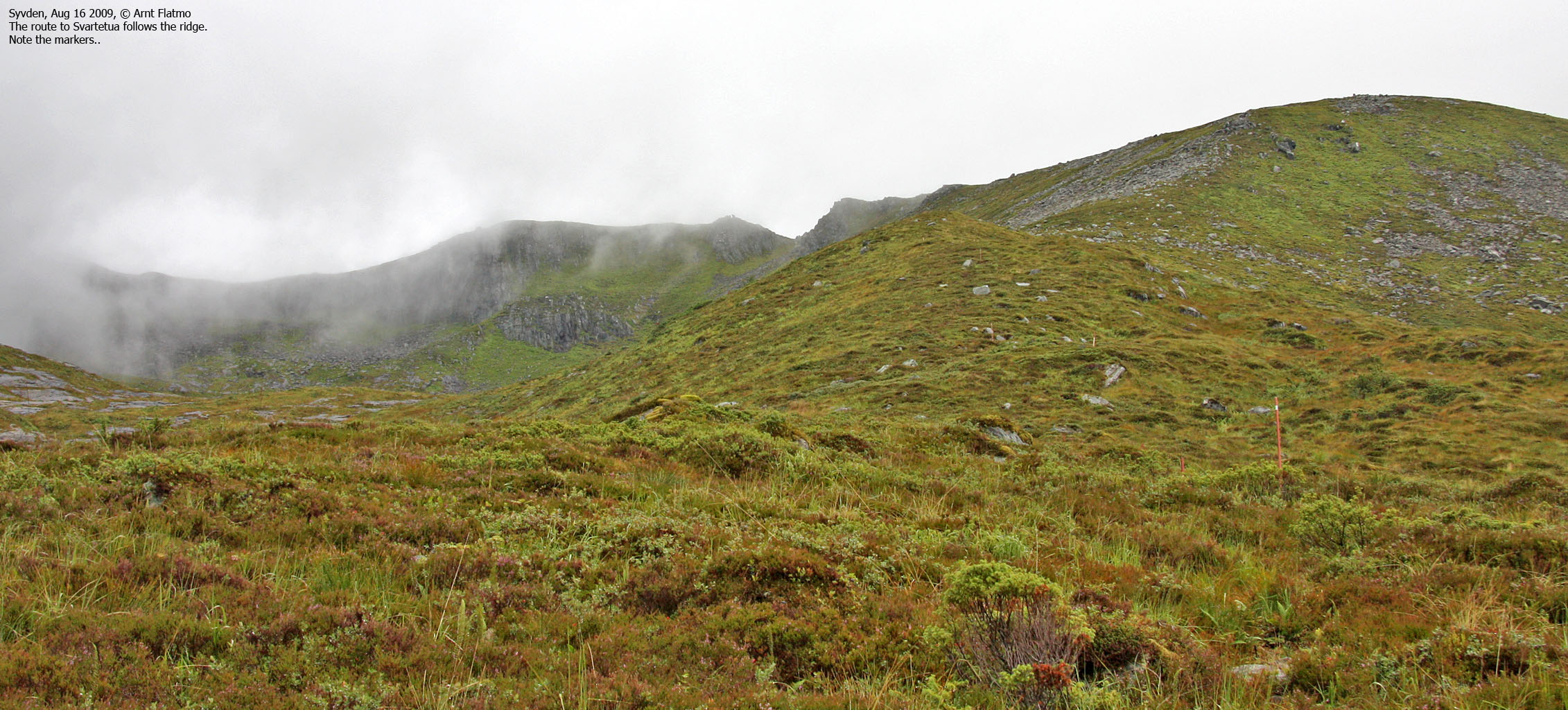
I liked this route. Straight up and no switchbacks. My kind of terrain! The mountain was mostly fogged in, but every now and then there was a break in the fog and I could see the surroundings. The time was 2:25pm when I reached what I perceived to be the high point on Svartetua, but it wasn't marked in any way. It was impossible to pinpoint the exact location of the high point, partly because of the fog, but also because the summit plateau was so big. But I was surprised that there was no cairn to be seen. I could see a "hump" a bit to the southwest, but that was clearly a lower point and I didn't bother checking it out. Instead, I continued over to Blåfelden (2:37pm) and took a closer look at the huge gap facing Syvden.

The Blåfelden gap
(Click for larger image)
Now that I was here, I might just as well visit Fuglehovudet too. My guardian angel had taken off, and it was pouring down again, but what the heck. It's only water. Besides, there was no wind and I was more than comfortable in my warm clothes. I couldn't find any path leading to Fuglehovudet, so I descended Blåfelden off-trail. Once across the small meadow in the pass, I found a vague path that I followed up to Fuglehovudet. The time was now 3:10pm, and I wondered where the high point was at. It seemed as if it was a lonesome rock on the summit plateau.

Fuglehovudet
(Click for larger image)
I liked Fuglehovudet. First, it looked quite cool as I approached it. Then there were lots of cool and steep gullies down to Saurdalsvatnet, as well as several cool rock features. Even the name of the mountain (Bird's head) was cool. So all in all, this was quite a cool mountain.
It was also a wet mountain. And now that Fuglehovudet was in the bag, it was time to head back down.

Me and mini-me on Fuglehovudet
(Click for larger image)
I returned to Blåfelden, which was still fogged in. Then I continued to Svartetua, but this time I stopped by the rocky "hump" I had previously ignored. And wouldn't you know; there was a Svartetua signpost as well as a visitor's register. I signed in and headed down the mountain. Upon my descent, I passed a cute little fellow;

A cute little fellow
(Click for larger image)
The time was 4:44pm when I returned to the trailhead. The 3,5 hour walk had been most enjoyable although the views were quite limited. I would certainly recommend route 54 to Svartetua and Blåfelden to anyone passing through Syvden..


