
Norwegian Mountains, Møre og Romsdal
|
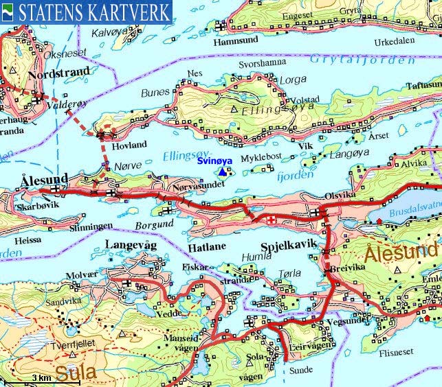
| Fylke/Kommune : | Møre og Romsdal/Ålesund | ||||||
| Maps : | - (Statens Kartverk, Norge 1:50 000) | ||||||
| Primary factor : | 54m | ||||||
| Hiked : | June 2008 | ||||||
| See also : |
| ||||||
| See also : | Other Ålesund mountains |

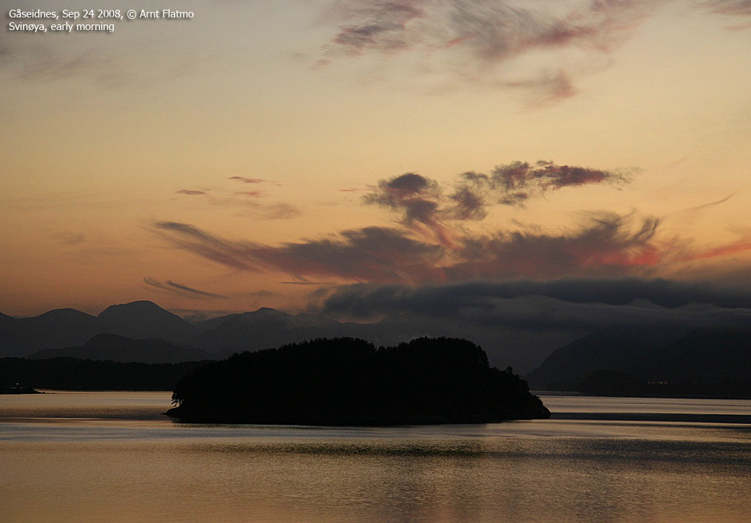
Svinøya
(Click for larger image)
The reason why Svinøya is featured on westcoastpeaks.com, is that Svinøya is found on a list of tops with a primary factor (pf) >= 50m. The cut-off for mountain lists on this site is 100m, but an exception was made for Ålesund. Many people live in and around this city, and there aren't too many 100m pf mountains.
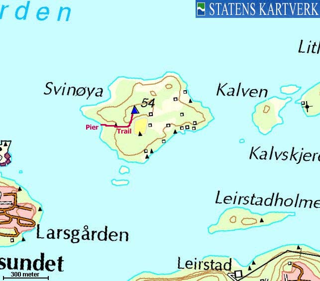
Svinøya is an island on Ellingsøyfjorden. There is no public transport to this island, but there are piers that allow you to anchor up. The high point is just a 10 minute walk (on trail & path) from the normal entry point. There are a number of houses on the island, but per June '08, nobody seems to live there all year around. There are sheep on the island, so dogs must be kept on leash.
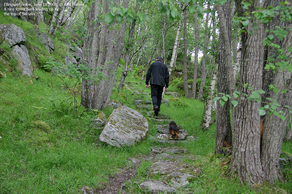
Explore the historic cultural landscape on forest paths throughout the island. There is an open area 5 minutes from the pier, which is ideal for a barbeque picnic.
"Svinøytoppen" (not an official name, Norge 1:50,000: 54m, Økonomisk Kartverk: 53,88m, UTM 32 V 359524 6930674) has a primary factor of 54m, being the highest point on Svinøya island.
Google's interactive map. You can zoom, pan and click on the markers.
|
|
|
Notes: Class ratings are in reference to YDS. Click here for more information.
The trails described below are not necessarily the *easiest* trails to this mountain.
|
Route 1: To "Svinøytoppen" (summer/autumn)
|
|
Access
(all distances are approx. distances)
By boat, head for the west side of Svinøya island (N62.47959 E6.26949/ UTM 32 V 359267 6930584) and locate the pier in a small bay. Anchor here.
The route
Follow a trail in the eastern direction (to your right) up to a picnic area. Continue on path up the forest. The path eventually curves to the left and is marked by sticks. The top is marked by a trigonometric point. Views are limited.
Descend your ascent route, or take a trip around the island on
forest paths.

No Javascript:
 westcoastpeaks.com
Other Møre & Romsdal mountains
Other Norwegian mountains
westcoastpeaks.com
Other Møre & Romsdal mountains
Other Norwegian mountains


