
Norwegian Mountains, Nordland
Torghatten round trip, July 8 2010
To the main Torghatten page
(maps, pictures, other trip reports)

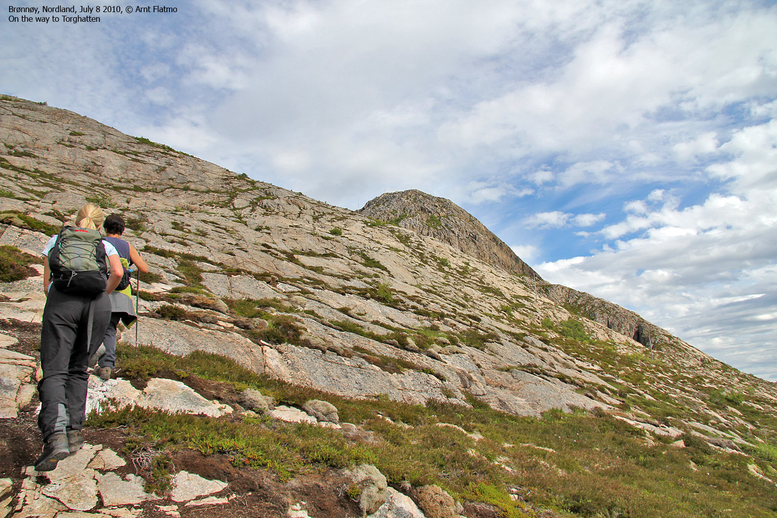
Torghatten
(Click for larger image)
Episode VII of the 2010 summer vacation in northern Norway, base-camp Brønnøysund: After the long hike to Kjelviktinden the day before, we had earned a day of relaxation. That does not necessarily mean idle time, and as a) Anne wanted to see Torghatten, b) mom had never been to the top of Torghatten and c) I had never descended on the southwest side of the Torghatten hole, the choice fell on (drum roll...) Torghatten.
Torghatten is (my guess) the single most popular tourist attraction in Nordland county, and while 99% of the tourists follow the public path up to the hole, we had a different plan. This would be the ultimate round trip; first to the top, across, through the hole and finally, around the mountain.
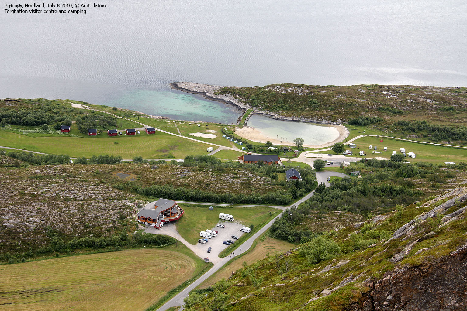
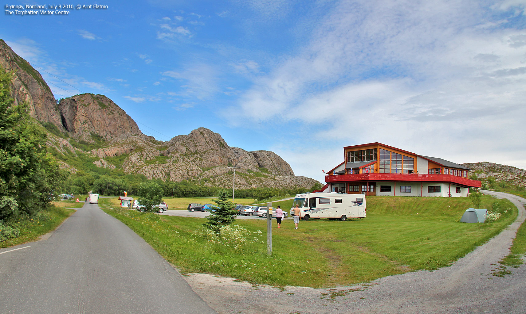
We headed out from the public parking at 10:40am and after 600m meters along the gravel road, we turned onto the path leading to the top. Mom keeps saying she has not a head for heights, but she feels comfortable in company with others, and moreover - she's doing just fine in steep terrain - no matter what she says. As such, I had no doubts (whatsoever) about taking her up to Torghatten summit, even if the upper section of the path is a bit steep.

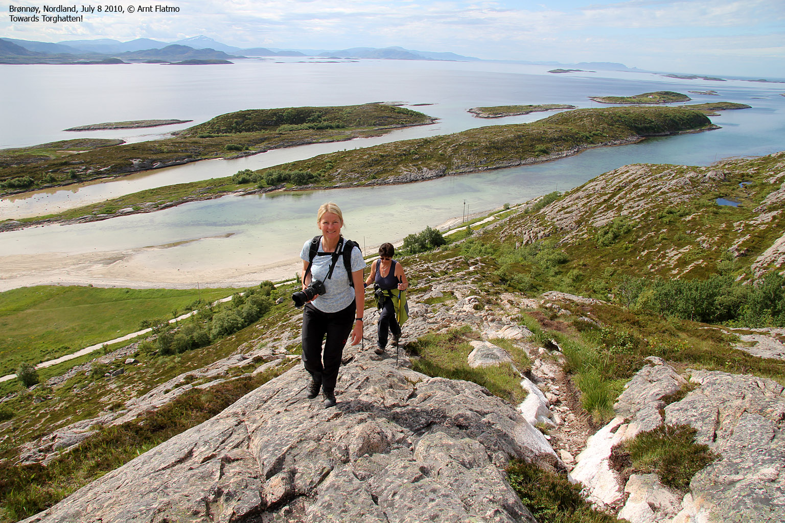
To the top of Torghatten
(Click for larger image)
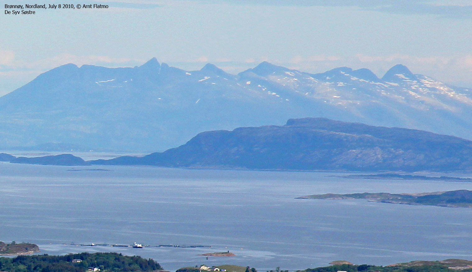
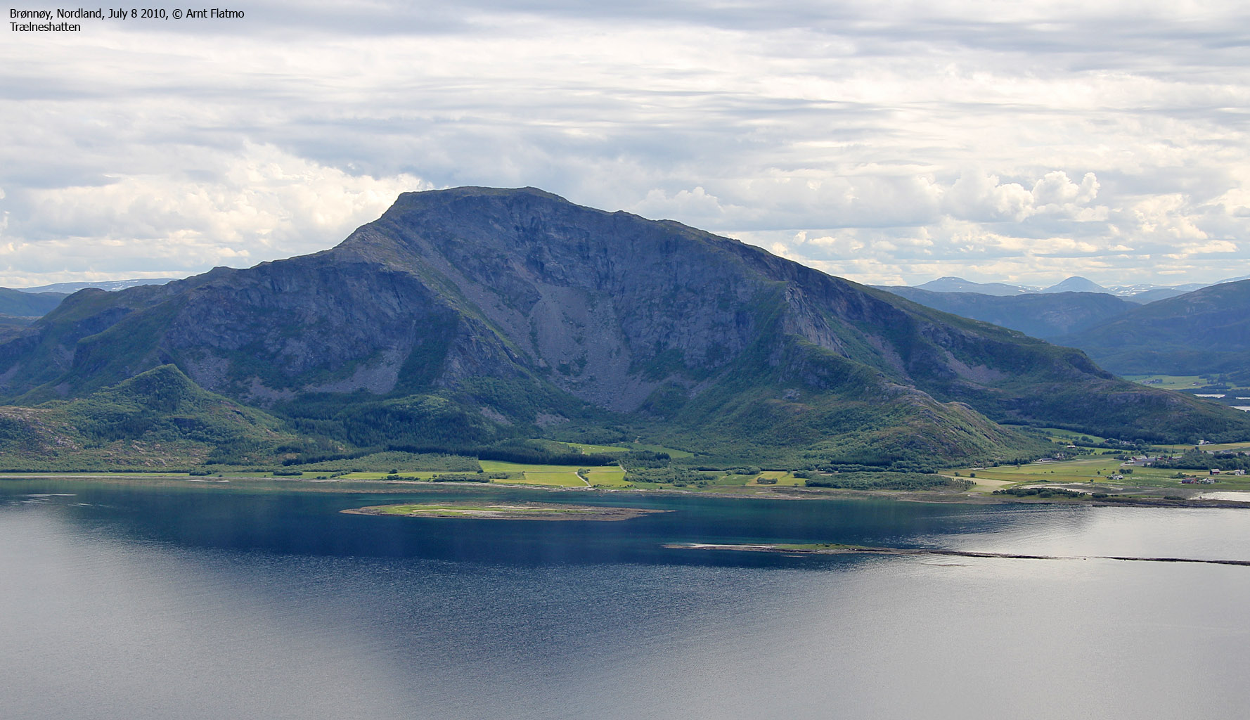
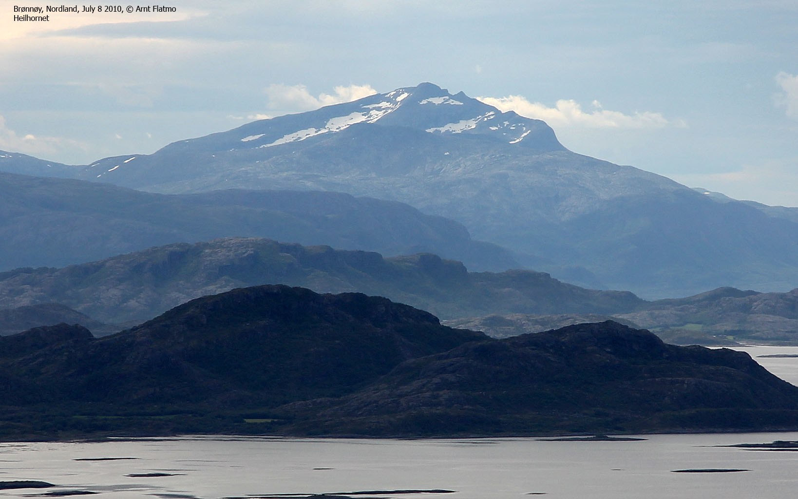
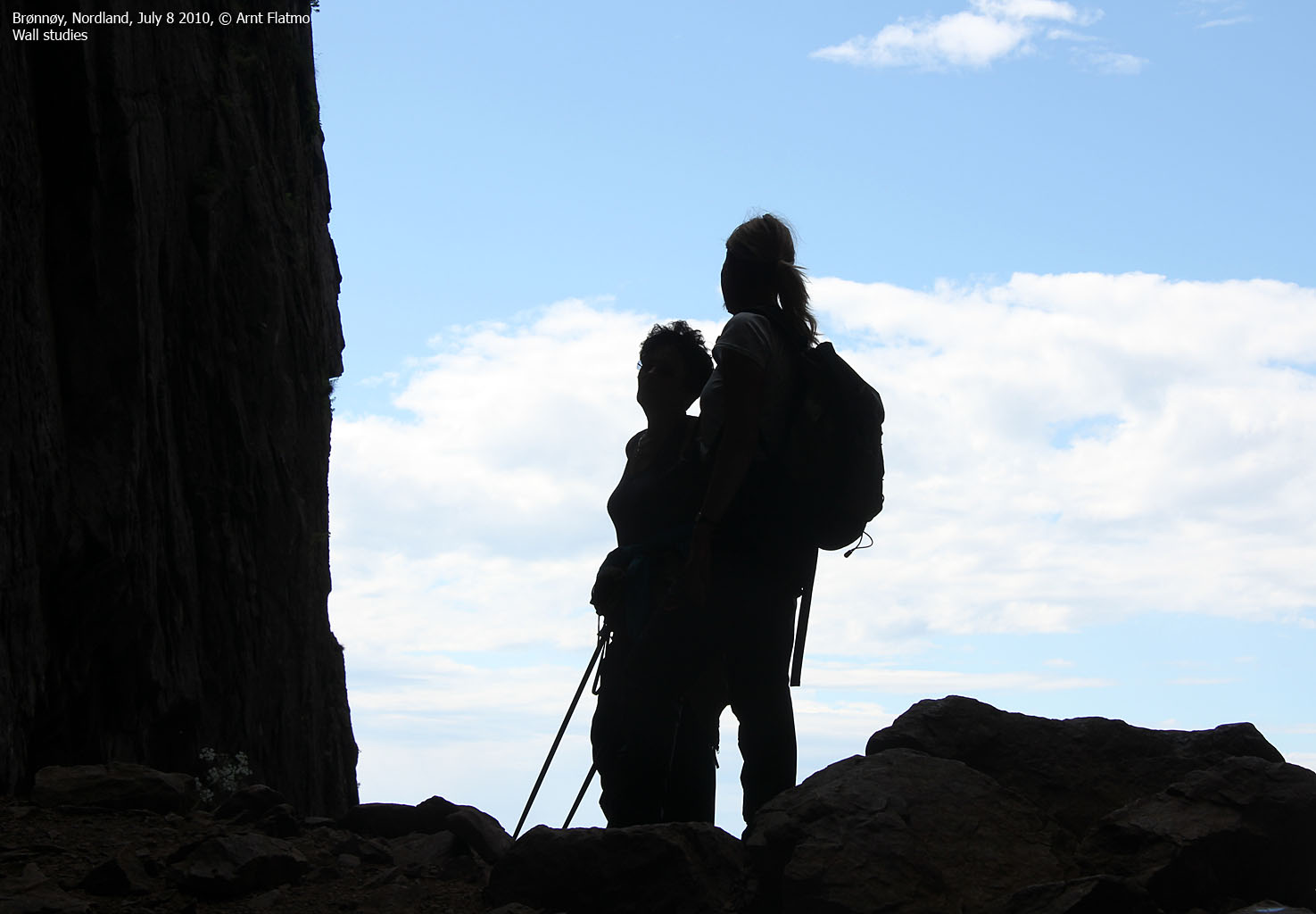
The weather was brilliant, and the three of us enjoyed the day and the walk to the fullest extent. We reached the top at 11:17am - 37 minutes after heading out. There were a couple of other hikers on the mountain, but the big crowds were on the way to - or from - or inside the hole below us. During our days in Brønnøysund, Anne had already gained a fairly good overview of the Sør-Helgeland region, but I was nevertheless proud to share with her the Torghatten views.

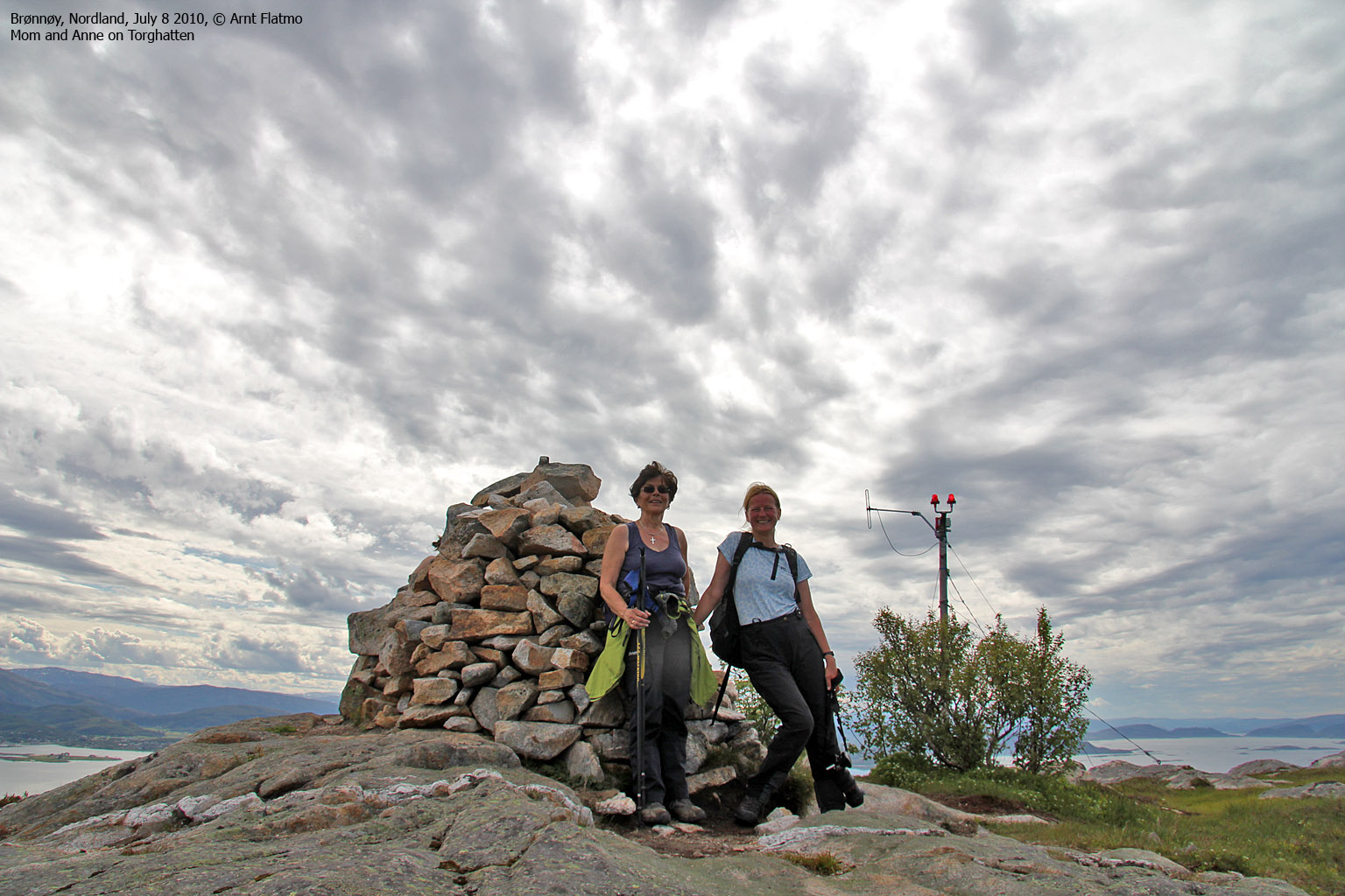
On top of Torghatten
(Click for larger image)
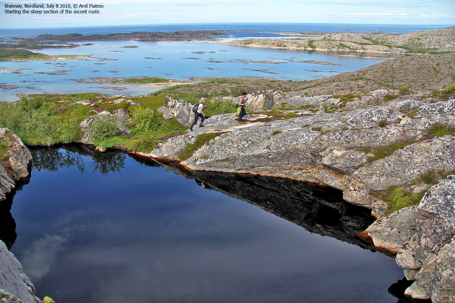
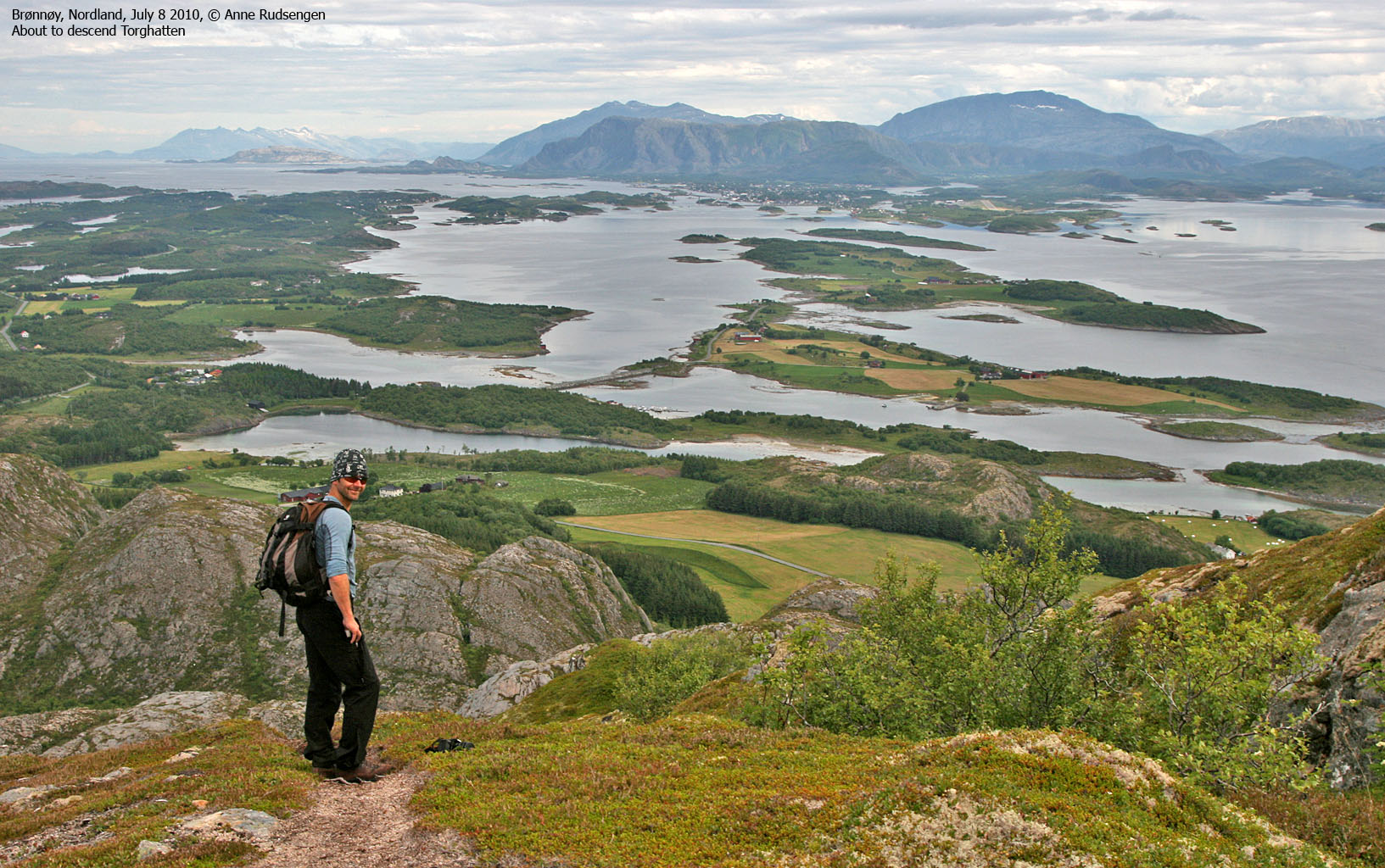
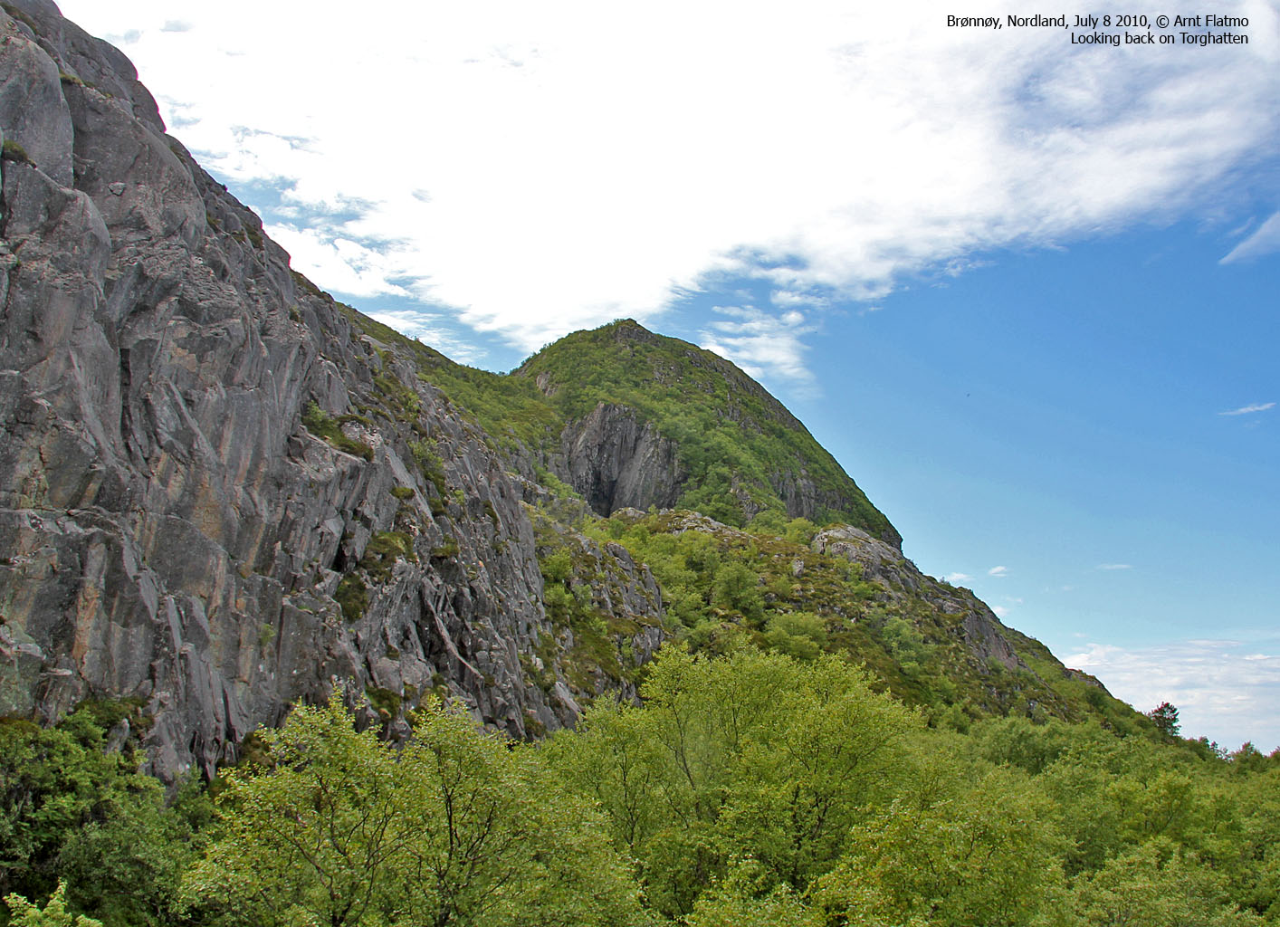
Having done this traverse back in 2005, I remembered that one section was fairly steep, but not difficult. As we descended to the north, I soon got the feeling that we were on a different route than I followed in 2005. I could clearly remember that I passed very near the top of Lesshatten, but the path we were on was leading us down into a valley north of Torghatten. Oh well, why not see where this leads? Mom expressed concerns about the exposure, but scrambled like a goat.

Traversing Torghatten
(Click for larger image)
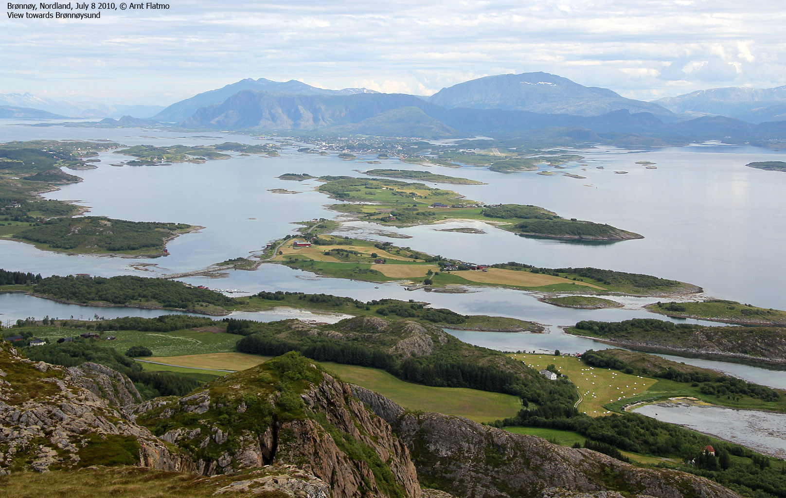
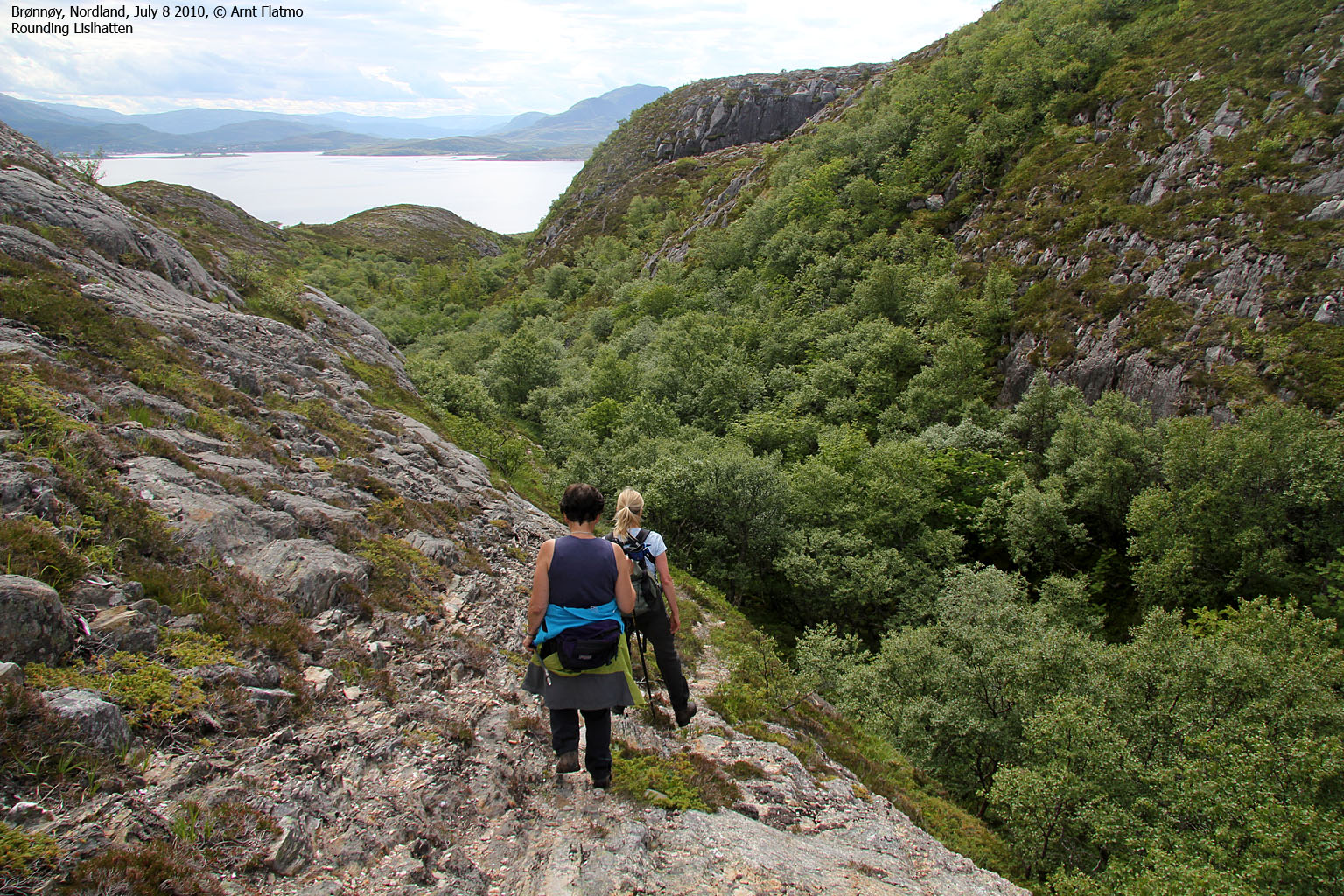
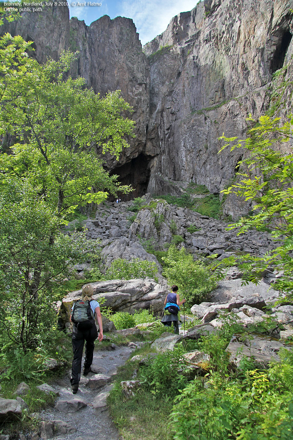
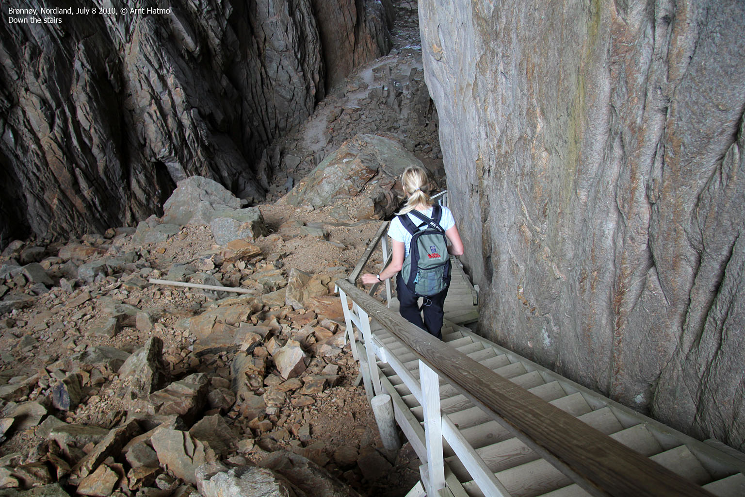
Down in the valley, I had a good overview of the route, even if I hadn't done this variation before. We rounded Lesshatten on the north side, descended a small valley, then turned right, ascended a small forest and had the hole in view ahead of us. We found a path which led us to the public path from the visitor centre, and a few minutes later, we were standing in front of the Torghatten hole.

The Torghatten hole
(Click for larger image)
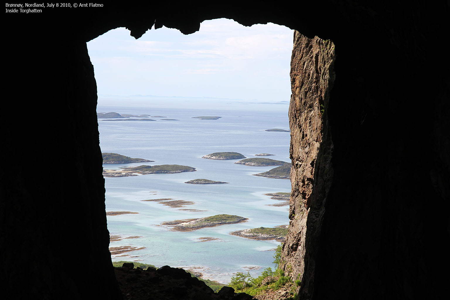
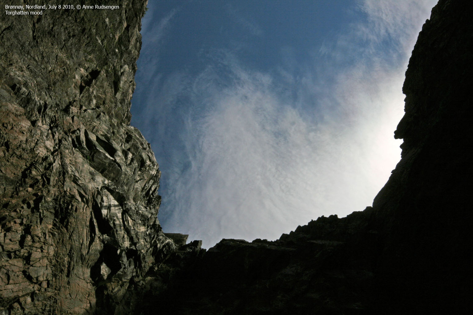
The big upside was that the hole didn't smell like poo this time. Perhaps someone had cleaned up, or the smell had simply gone away. I couldn't say. We located the signatures of the Kings Olav V, Harald V and Oscar II and agreed that we should go through the hole and descend to the southwest.

Southwest view from the hole
(Click for larger image)
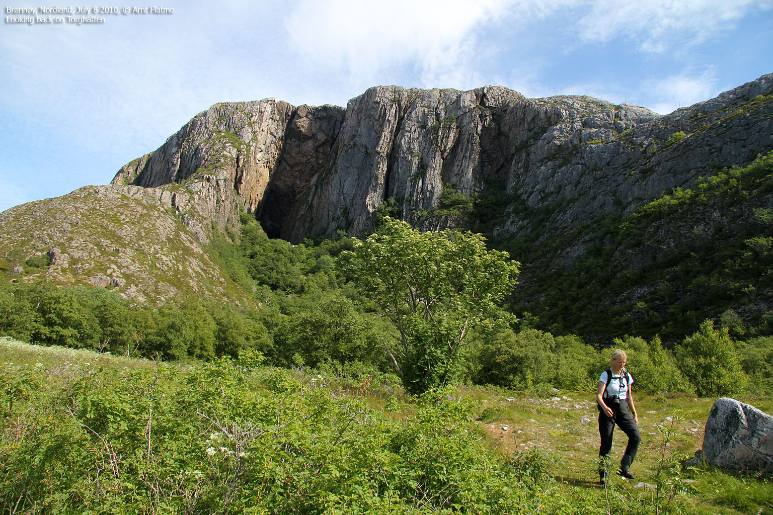
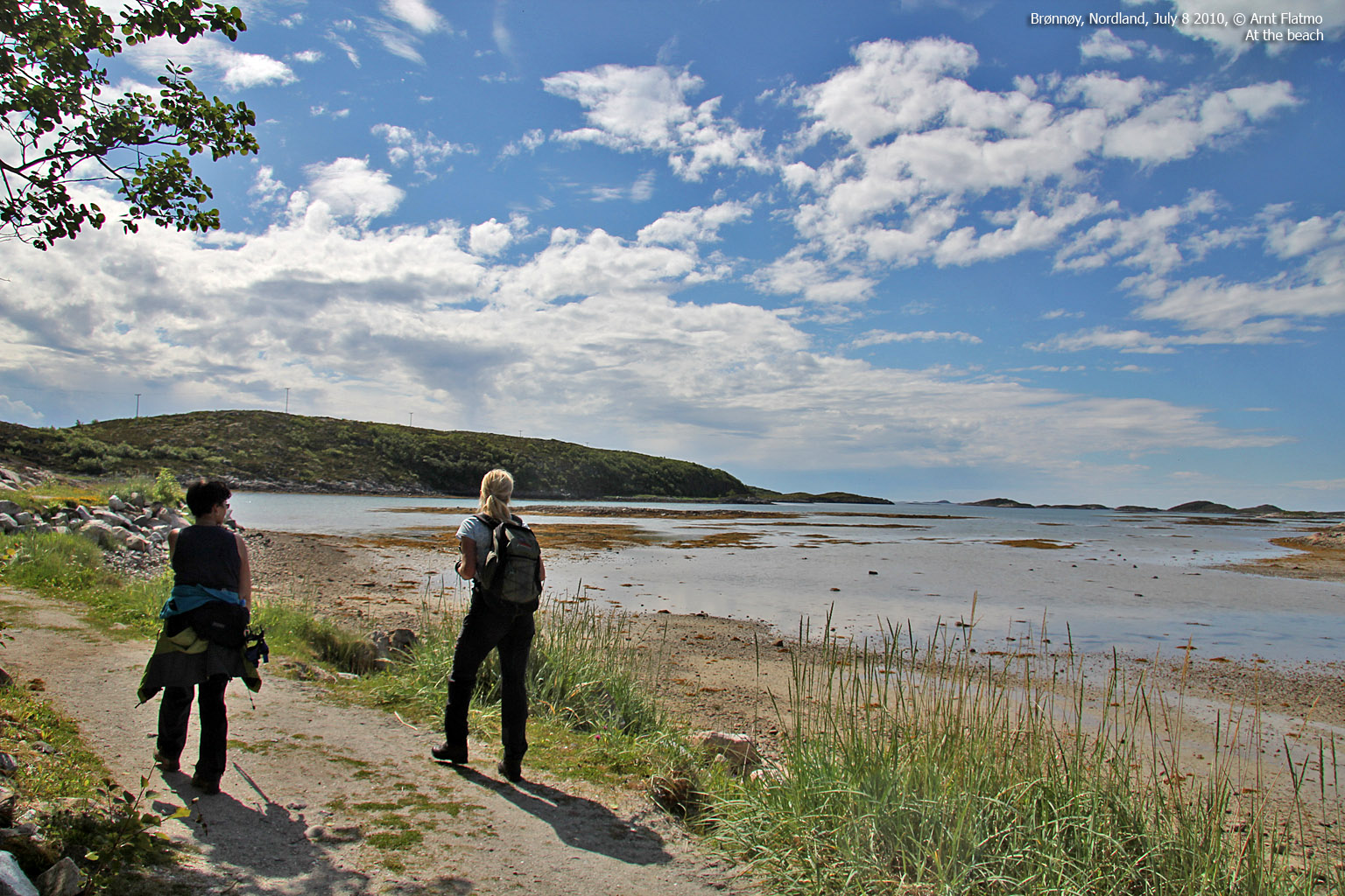
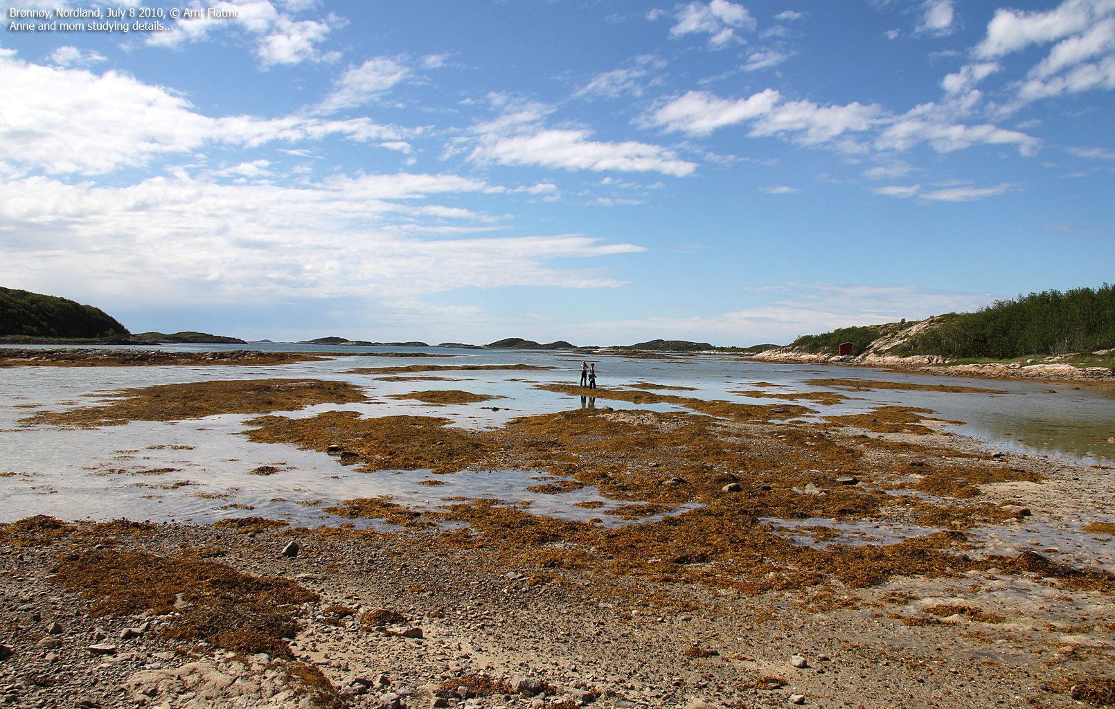
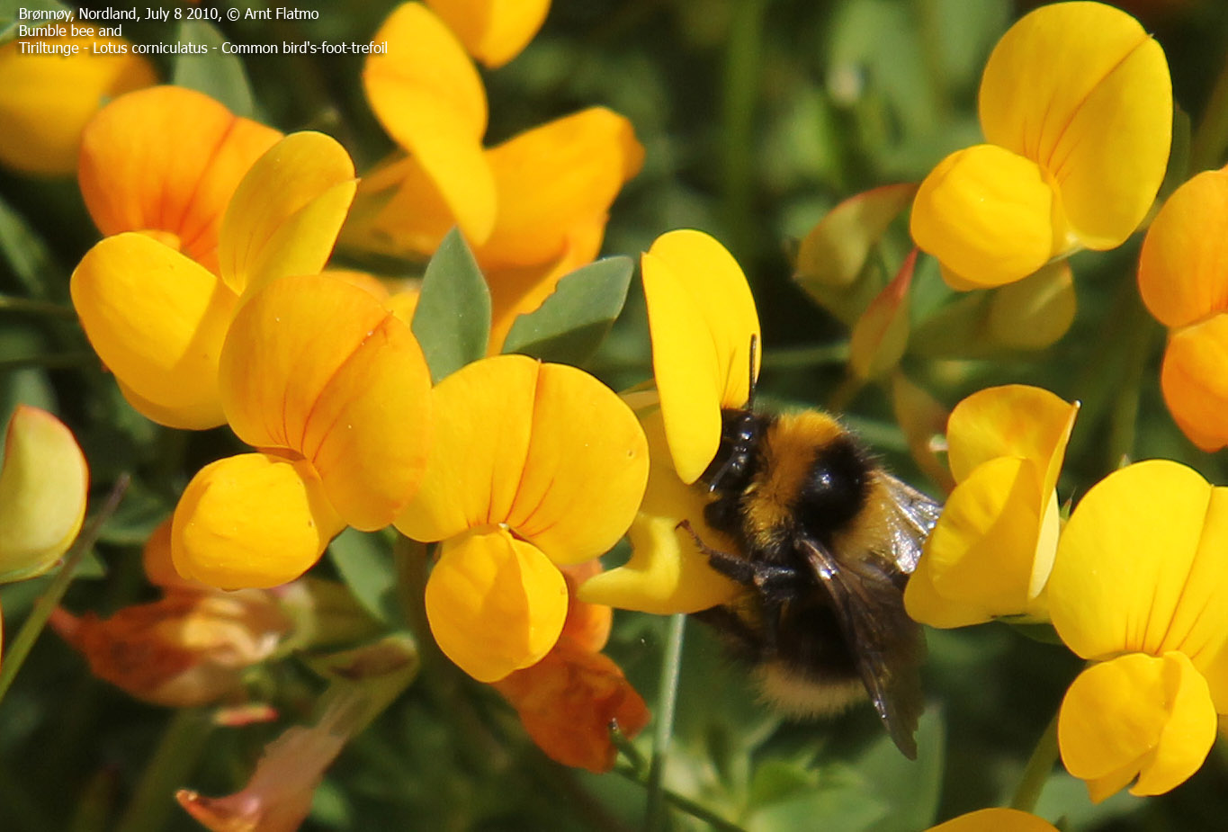
The path took us down to the beach, where we spent a good while identifying flowers, watching busy Bumble bees and throwing rocks in the water. Mom's attempt to make a rock flip on the water failed miserably and hit me straight in the place-where-it-hurts-the-most. After counting to 1024, I was back on my feet and we could move on...

Applying magic
(Click for larger image)
We were back at the trailhead 1:30pm -2h:50m after heading out. Anne and mom were very pleased about the hike, and I was now at liberty to go to Sømna and hike Sørfjellet and Jøtulen.

Six-spot Burnet
(Click for larger image)


