
Norwegian Mountains, Sogn og Fjordane
Botnaberget (691m), Mar 18 2012
To the main Syvdsalpane page (maps, pictures, other trip reports)

The route, seen in Google Earth
(Click for larger image)
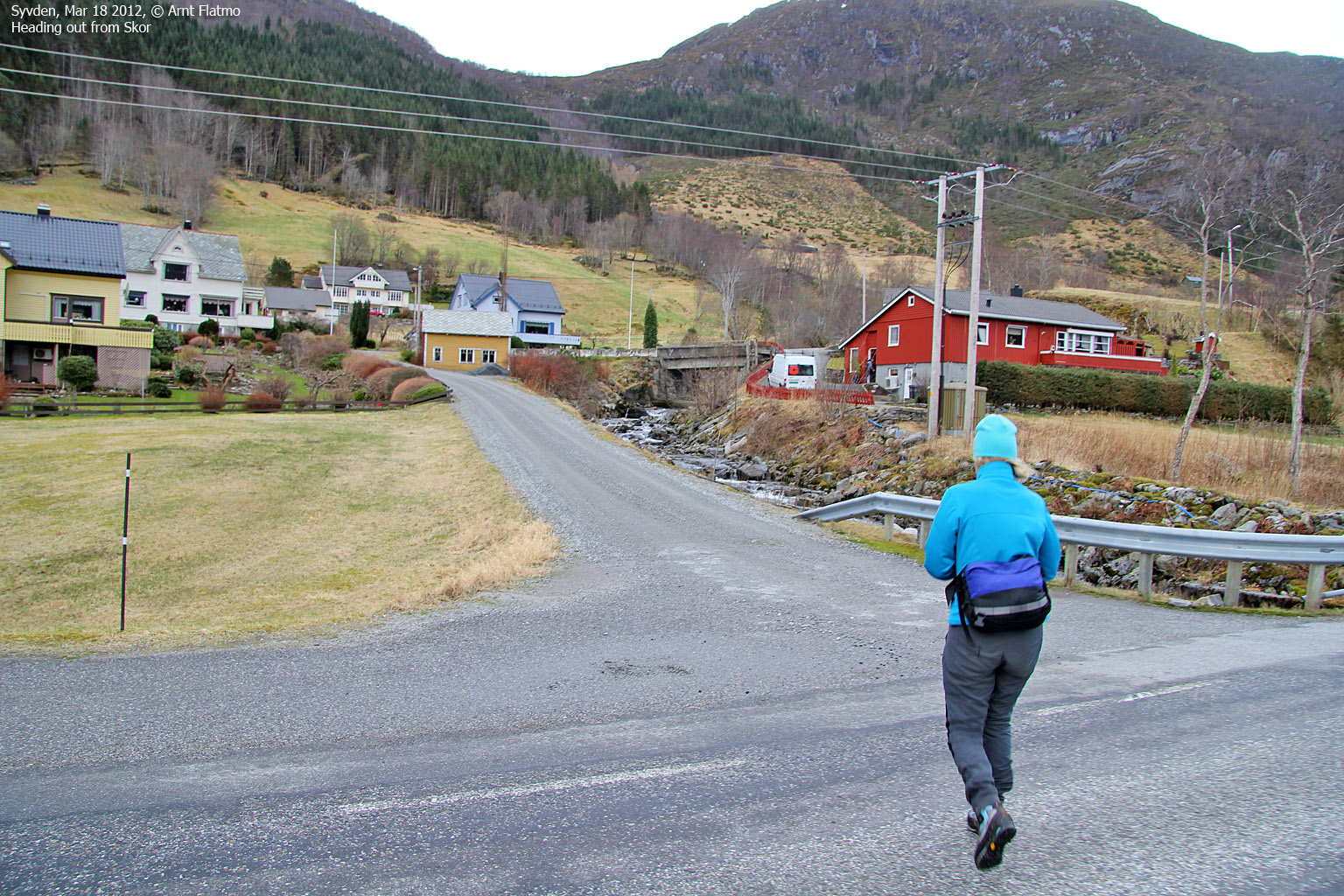
This Sunday was as grey and wet as they come, but my girlfriend Anne and me decided to dig for gold out of this day, no matter what. Botnaberget near Syvden seemed to be a good choice for a hike. And who could know - perhaps it would turn into a beautiful day? But as the rain was pouring down while we waited for the ferry at Årvika, we knew that our faith had to be strong...

Faith...
(Click for larger image)
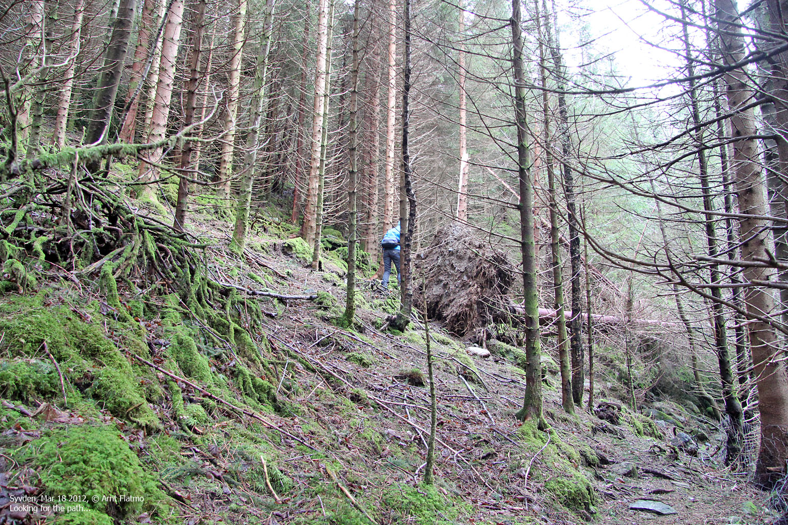
What do you know - it stopped raining on the way to Syvden, and for a moment we actually thought it would be a sunny day. But deep inside, we knew we had to settle for overcast and fog. We drove to Skor and I actually thought I would remember the path up the forest after the hike across Syvdsalpane in July 2009. But only remembered the first part. It didn't take long before we realized that the path was out of reach and we had to make our way off-trail up along the river.
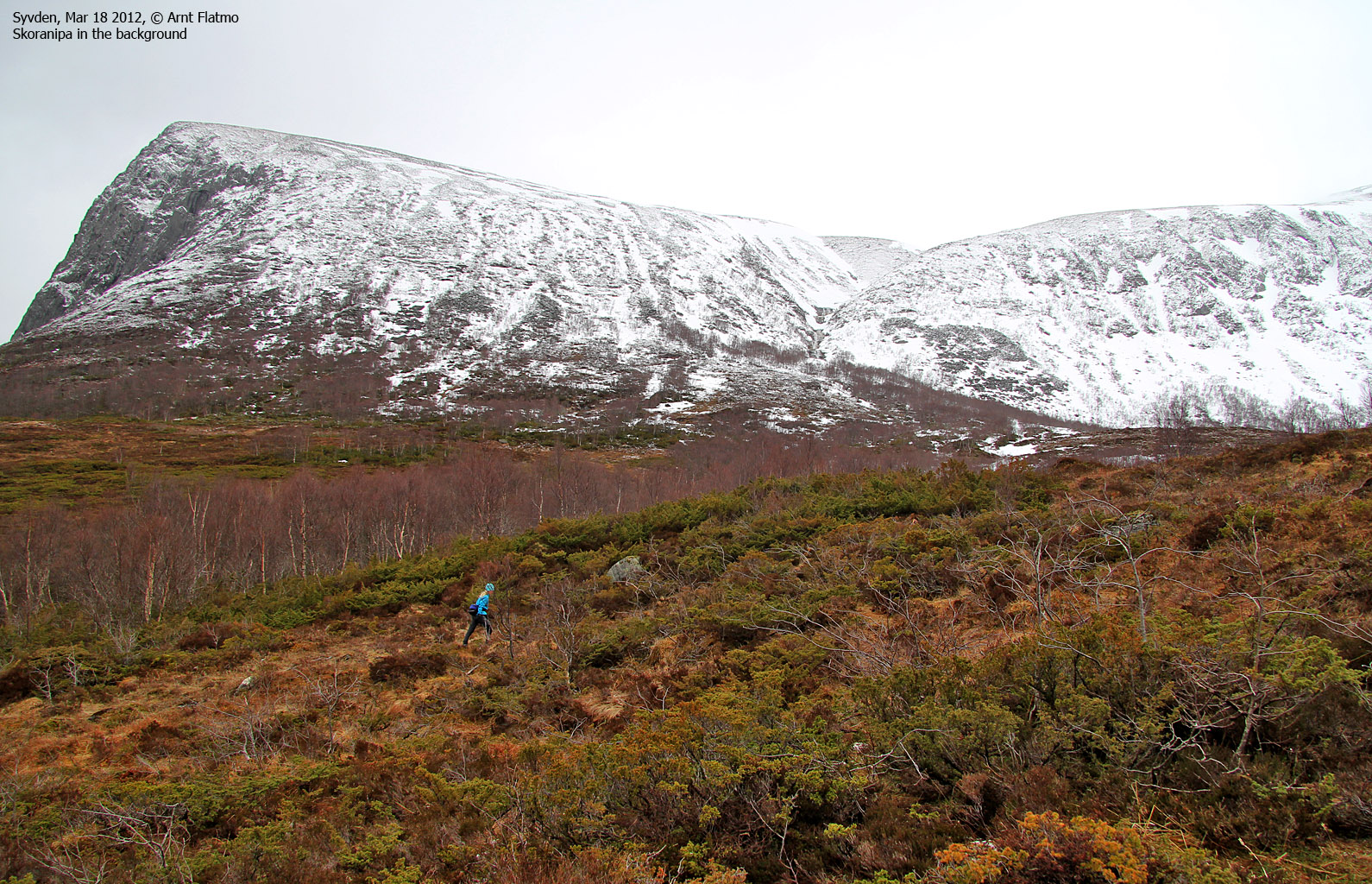
Eventually, we stumbled onto the path and followed it up to the cabin at 330 meters. The river crossing went fine, even if it had been raining quite a lot lately. The path seemed to end by the cabin, and we mentally prepared for an off-trail hike into Skoradalen. It was tempting to aim for Botnaberget's west ridge, but because of the fresh snow we agreed to hike through Skoradalen.

Arriving at the cabin
(Click for larger image)
In Skoradalen, we ran into snow but it wasn't a troublesome amount. As we approached the pass between Trollkoppehornet and Botnaberget, visibility rapidly deteriorated. As Botnaberget had some serious north-facing cornices, I decided to use the GPS to ensure that we were nowhere near the north side of the ridge. But after a little while, we noticed the different shade between snow and air and we knew we were on the safe side. We reached the top of Botnaberget 1:10pm - 1h:50m after heading out from Skor.

On top of Botnaberget
(Click for larger image)
We descended our ascent route and were able to follow the path all the way back to Skor. We returned to our car 2:18pm - 3 hours after heading out - and very happy about taking the trip!


