
Norwegian Mountains, Møre og Romsdal
Stokkehornet, Oct 20 2012
To the main Veirahaldet & Blåtinden page (maps, pictures, other trip reports)

Stokkehornet, anno 2010
(Click for larger image)
After some private business in Ørsta, there was time left for a hike and my choice fell on Stokkehornet. The first time I noticed it was when Anne and me hiked Grøtdalstindane in 2010, and I kind of promised myself to come back one day..
I stopped at Stokke and made some queries about the trailhead. I was advised to drive up Frølandsdalen and look for a signpost, which I found near the end of the road. I was on my way up the mountain just past noon.

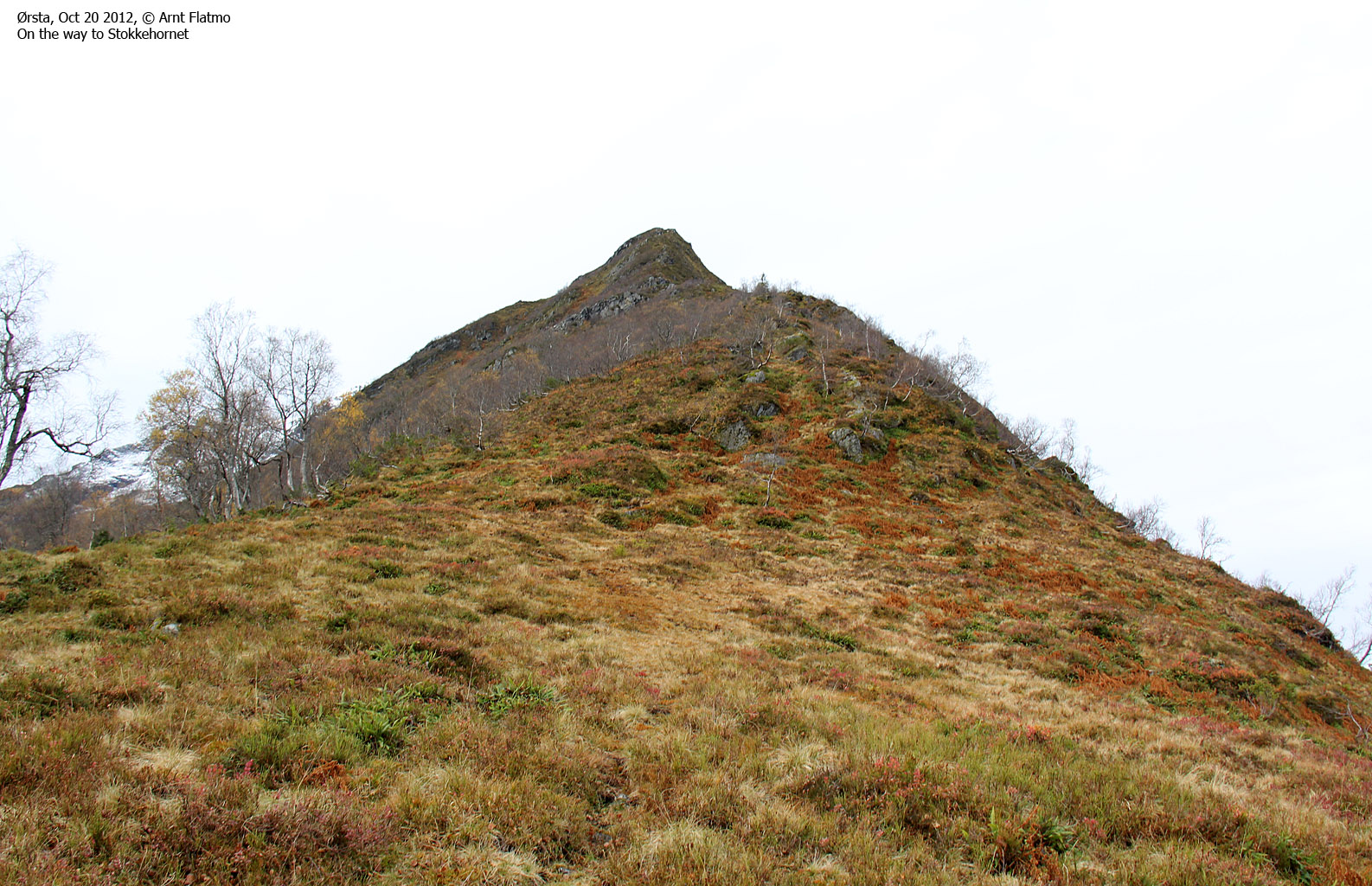
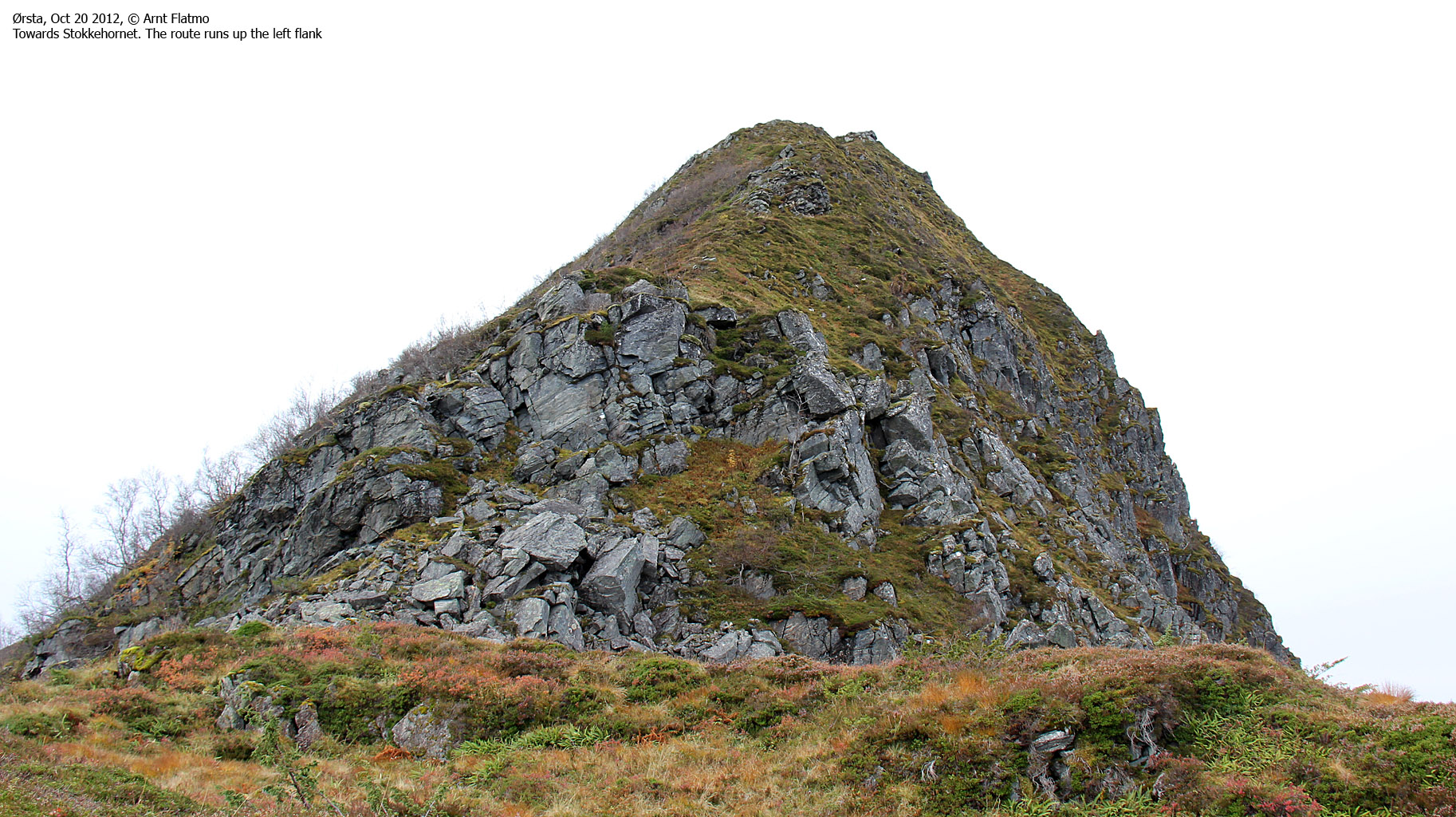
The route from Frølandsdalen
(Click for larger image)
I reached the Stokkehornet viewpoint cairn 50 minutes later, but as this was not the high point I moved on after signing the visitor's register. At 1:11pm I reached the highest point on Stokkehornet - 924m according to sources on the internet. I wish the source had been a map, but that would just be asking too much, I guess...

Stokkehornet viewpoint cairn
(Click for larger image)
As it had been a relatively short hike, I decided to take a look at the ridge towards Blåtinden. A steep drop near Blåtinden's summit suggested that the summit could be out of reach, but I could need the exercise, and I've been to Blåtinden before...
After an enjoyable hike across the ridge connecting Stokkehornet and Blåtinden, I reached snow and concluded quickly that I should not spend too much time on snow with my worn-out boots. I slipped and fell, over and over again and promised myself not to take any chances.
At 1060m (Blåtinden is 1217m) I decided to turn around to maintain health as I know it. Not because the ridge was narrow, but because I had to scramble and my boots gave me no grip for support. Time to invest in new ones...

Turnaround point
(Click for larger image)
On my way down from Stokkehornet, I met a family named Aklestad and after a little while I told them about Anne. Then they told me that they had Anne as a guide across Jostedalsbreen in 2005 and remembered her well. It's indeed a small world...
I did very much enjoy Stokkehornet. It's a short and easy walk with superb views. If you want to try for yourself, the route is described on the Veirahaldet & Blåtinden main page on this site - as route #3.

Bondalen view from the Stokkehornet path
(Click for larger image)


")


