
Norwegian Mountains, Møre og Romsdal
|
| Fylke/Kommune : | Møre og Romsdal/Vanylven | ||||||
| Maps : | 1119-III Vanylven (Statens Kartverk, Norge 1:50 000) | ||||||
| Primary factor : |
Storehornet: 46m Vorakinna, 245m |
||||||
| Hiked : | Jan 2011 | ||||||
| See also : |
| ||||||
| See also : | Other Vanylven mountains |

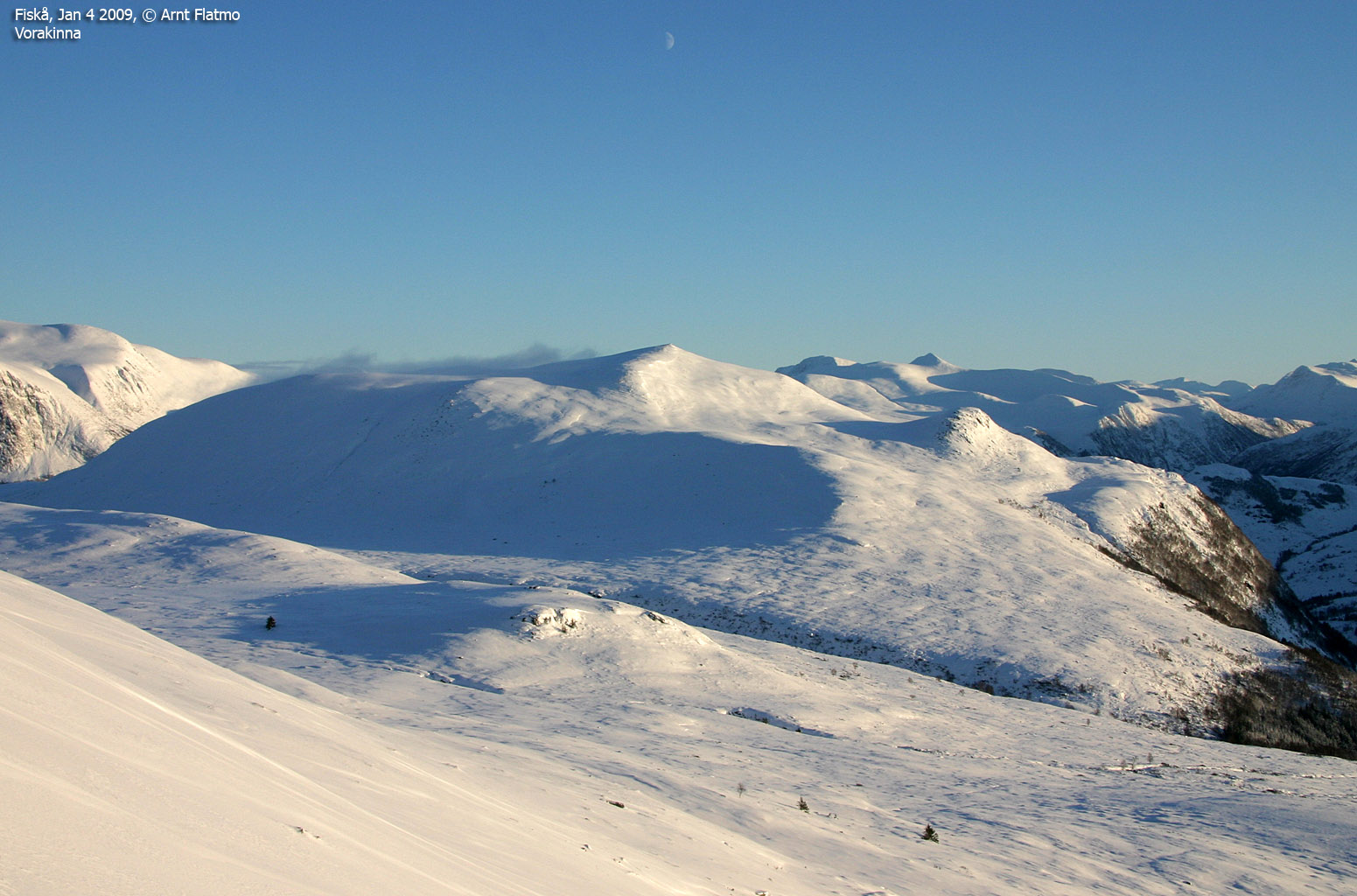
Vorakinna is located above Syvdseidet/Eidså, and is an easy mountain to reach on foot or on skis. The mountain offers great views towards Syvdsalpane and Syvdsfjorden. The normal starting points are Sandnes (on the north side) and Fiskå (on the southwest side) - the preferred route for skiing. This page will describe the route from Sandnes. Please refer to the Storebøra page for description of the Fiskå trailhead. The route from Sandnes follow a toll road which is closed (not ploughed) in winter.
Storehornet is a less prominent top, located above Sandnes.

Vorakinna (Norge 1:50,000: 643m, Økonomisk Kartverk: 642,90m, UTM 32 V 325026 6891686) has a primary factor of 245m towards the higher parent mountain Litlebøra (709m). The defining saddle (approx. UTM 32 V 324159 6892142) is found in Vorkinndalen. Ref. Økonomisk Kartverk (5m contours), the saddle is within the range 395-400m, interpolated to 398m.
Storehornet (Norge 1:50,000: 444m, Økonomisk Kartverk: 444m, UTM 32 V 325707 6893399) has a primary factor of 46m towards the higher parent mountain Vorakinna. The defining saddle (approx. UTM 32 V 325608 6893086) is found between these two tops. Ref. Økonomisk Kartverk (5m contours), the saddle is within the range 395-400m, interpolated to 398m.

Google's interactive map. You can zoom, pan and click on the markers.
|
|
|
The route descriptions are valid per Jan
2011.
|
Route 1: Sandnes - Vorakinna (winter - on skis)
|
|
Access
(all distances are approx. distances)
The starting point for this route description is Sandnes by Syvdsfjorden. If you come from the north, then take the Årvika - Koparneset ferry and drive 3,2km to a bus-stop (N62.14424 E5.67039) at Sandnes. Park here (without blocking for the bus.
The route

Follow the nearest road up to the old road. Turn right at the junction, continue 50 meters and turn left onto the toll road (NOK 30,- for passenger cars per Jan 2011). It could be an idea to see if there is parking available along this road, before parking down by the bus-stop.
Follow the toll road 2,6km up to Sandnessætra. Then turn southeast and ski towards Vorakinna's northeast ridge, which offers nicer views than the west ridge. You'll also have the option to stop by Storehornet (N62.13215 E5.65680). You'll pass a cairn 400m north of the summit cairn (N62.11648 E5.64543).
Upon descent, consider skiing down the east ridge.
Note I; I have not skied all the way to Sandnessætra. After 1,6km along the toll road, I turned left onto a side road which took me into the forest. I had to go through a short forest section before I topped out near a cabin (N62.13095 E5.64062).
Note II: See the Storebøra page for route description of the forest road up from Fiskå. Follow the forest road to the end of the road, then continue east into Vorkinndalen and ascend Vorkinna along the east ridge.

 westcoastpeaks.com
 Other Møre & Romsdal mountains
 Other Norwegian mountains