
|

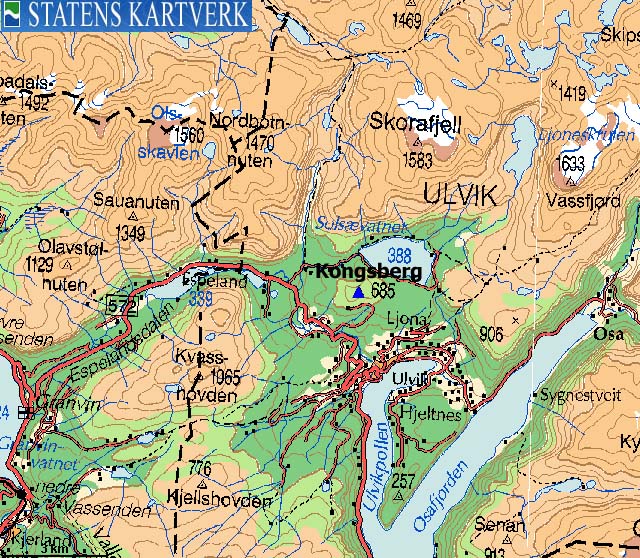
Kongsberg (King's mountain) is a modest mountain, considering the surroundings. It is located between Ulvik and the high mountain range stretching from Voss towards Hardangerjøkulen. Being on the top, one is almost, but not quite above the tree line.
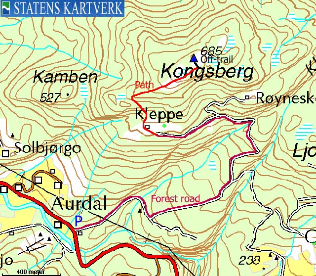
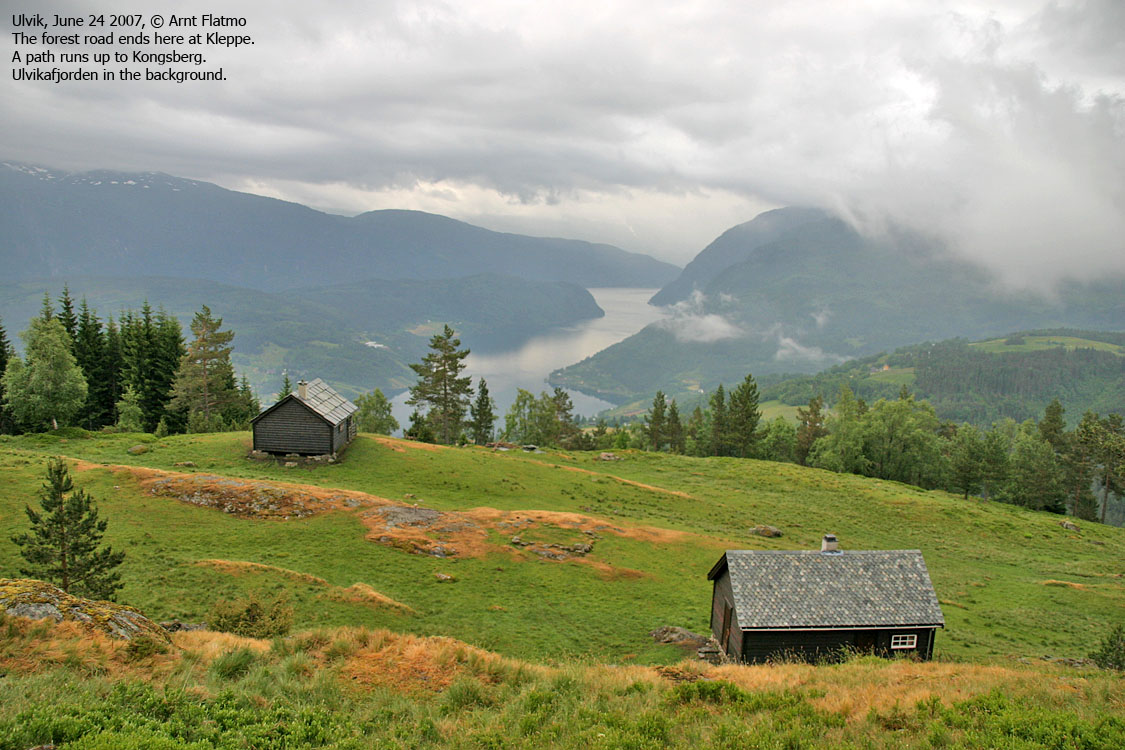
However, Kongsberg offers a nice hike up through the forest. The first part on a forest road, before a forest path takes you to the top. You have good view towards Ulvikafjorden and the Ulvik mountains.

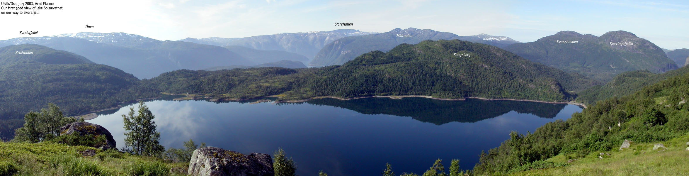
Kongsberg (Norge 1:50,000: 685m, Økonomisk Kartverk: 685,33m, UTM 32 V 385258 6718919) has a primary factor of 247m, towards the higher parent mountain Kristinuten (901m). The saddle (approx. UTM 32 V 386653 6718982) is found just north of Lake Lomtjørn, and south of Lake Solsævatnet. Ref. Økonomisk Kartverk (5m contours), the saddle height is within the range 235-240m, interpolated to 238m..
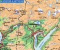
Google's interactive map. You can zoom, pan and click on the markers.
Notes: Class ratings are in reference to YDS. Click here for more information.
The trails described below are not necessarily the *easiest* trails to this mountain.
|
Highway RV572 - Kongsberg (summer/autumn)
|
|
Access
(all distances are approx. distances)
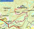
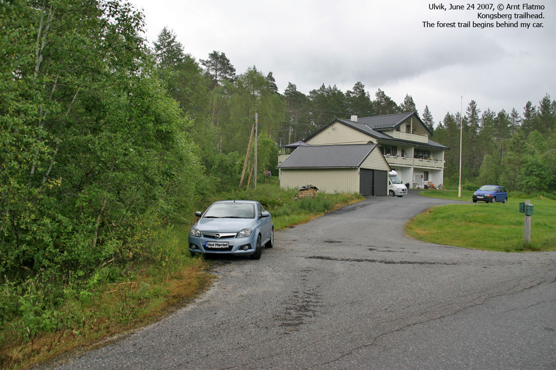
Locate highway 572 between Granvin and Ulvik. 5,7Km from the junction near Brakanes in Ulvik, and 14Km from the RV13/572 junction by Lake Granvinsvatnet, a forest road runs to the left of a house. Find parking here.
The route
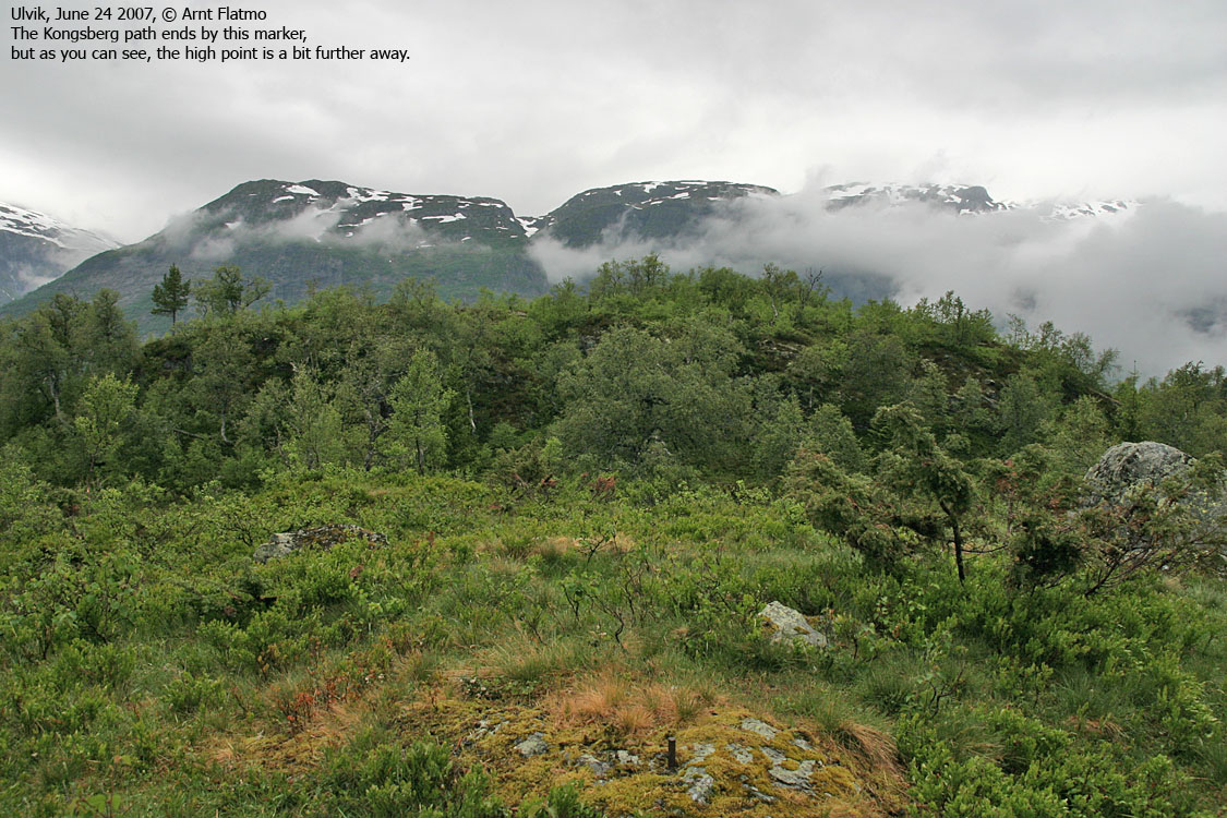
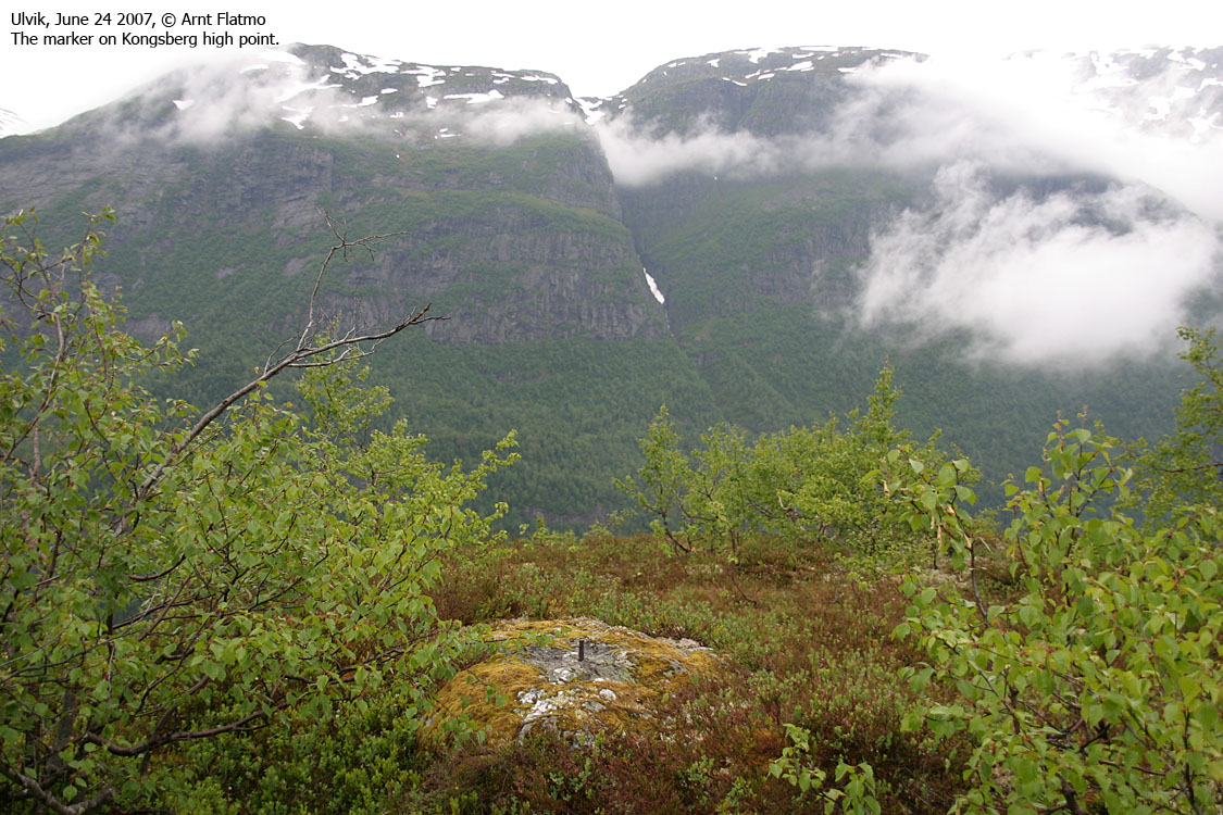
Follow the forest road up to the Kleppe buildings at 500m elevation (stay left in all forks). Locate a path that heads northbound. Actually, this may be an old tractor road. On Kongsberg's southwest ridge, the path runs on the south side of the ridge, with view towards Ulvik. The path ends at a point with a marker in the ground. The high point is 90m to the north, and defined by a similar marker. No path runs up to the high point. Descend your ascent route.

No Javascript:
 westcoastpeaks.com
Other Hordaland mountains
Other Norwegian mountains
westcoastpeaks.com
Other Hordaland mountains
Other Norwegian mountains